HAMSTEAD TRAIL: Newtown Bay to Brook Bay
Monday, July 18, 2016
(1) Yarmouth Common

(2) Bouldnor Copse

(3) Hamstead Point

(4) Hamstead Point
For me, the Hamstead Trail was the last of the Isle of Wight's eight official day walks. The trail is another north-to-south traverse of the island's western quarter, roughly parallel with the Freshwater Way, but several kilometres further east, starting at Hamstead Point near the mouth of the Newtown River and ending near Brook Chine on the south-west coast. This is also by far the most rural and isolated of the eight trails, visiting only one village of any size.
At twelve kilometres, the trail isn't long, but with no public transport near the start, one must either walk about four kilometres of the trail in the reverse direction or follow the coast east from Yarmouth for 7.5 kilometres.
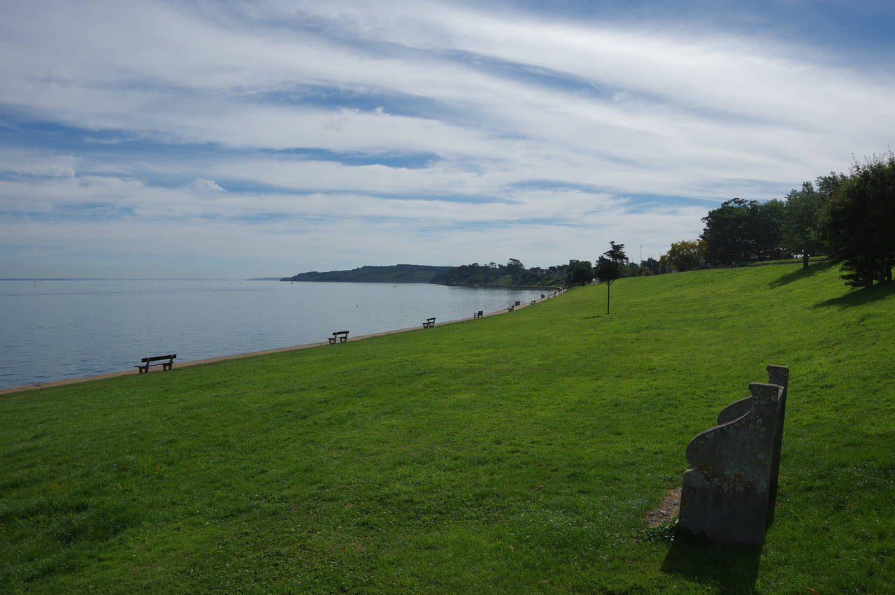
I chose the latter option. Setting out from Yarmouth's 18th-century Town Hall in The Square, I followed the High Street through the town to the grassy Yarmouth Common (picture 1). Cutting across the grass I joined a path along the sea wall, passing below the houses of the village of Bouldnor to reach Bouldnor Copse (picture 2), where I picked up the route of the Isle of Wight Coastal Path, which follows the busy main road through Bouldnor before coming back down to the shore.
The path runs through the edge of the copse for about 500 metres before climbing up onto the low Bouldnor Cliff. When I walked this stretch of the Coastal Path back in May 2012 a landslip was beginning to claim the path across Bouldnor Cliff and since then this has progressed to the point where part of the original path is no longer safe and has been rerouted along the edge of a field behind the cliff.
Beyond the landslip the path heads through trees in the Forestry Commission's Bouldnor Forest to take the short West Close out to a left turn onto the quiet Sea View Road. The Coastal Path soon leaves the road on a grassy path, initially between post and rail fences and then a more open path across West Hamstead Farm to reach Hamstead Drive. Heading left, through the hamlet of Hamstead, the end of the lane is soon reached and a stile beside a gate gives access to a track (picture 3) that gradually descends back to the shore at Hamstead Point (picture 4).

(5) Marshes by the Newtown River

(6) Newtown River

(7) Newtown River

(8) Public Footpath S28
Just around the point, on the shore of Newtown Bay, a Coastal Path signpost points up some steps. This is the start of the Hamstead Trail, though that fact isn't mentioned on the signpost. The Coastal Path shares the first three kilometres of the Hamstead Trail, as both routes skirt the western side of the estuary of the Newtown River.
Like the River Yar to the west and the Medina to the east, the Newtown River was formed when the Isle of Wight was still attached of the mainland, sea-levels were lower and the south coast was much farther away than it is today. Despite the river's relatively modest length nowadays, the broad estuary has many branches and tributaries.
From the steps a path runs across the end of a field beside a wire fence before using a long boardwalk to cross one of the estuary's shallow, marshy branches (picture 5). Climbing up through a belt of trees, the path bears left to cross a field diagonally to pass through another band of trees and bear right along the edge of the next field, which has views back over to the mouth of the river (picture 6).
The trail then skirts around the end of another arm of the estuary and along the far side, assisted by more boardwalks, to reach a junction with an unsealed vehicle track, signposted as Public Footpath S28. Just to the left, the track ends at a jetty (picture 7), but the Hamstead Trail and Coastal Path turn right along the track (picture 8), which runs through woods for most of the 1600 metres to its junction with Hamstead Drive, also signposted as Public Footpath S27, about 700 metres south of Hamstead.

(9) Cottage by Hamstead Road

(10) Public Footpath S8

(11) Fields near Wellow

(12) Coopers Lane, Wellow
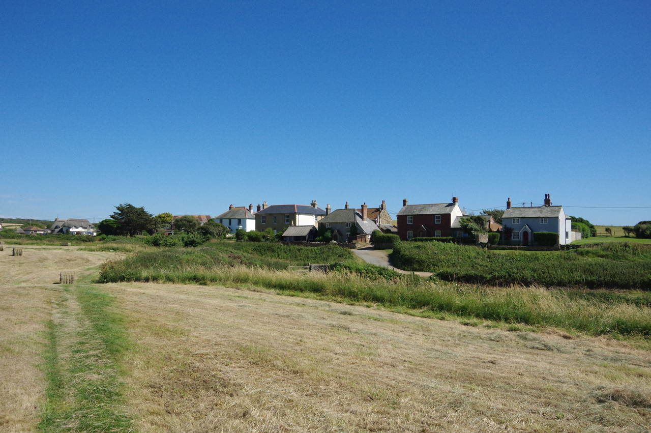
Turning left down the road, a fork is reached after less than 200 metres. Here the Coastal Path and the Hamstead Trail part company, with the former continuing ahead while the latter branches to the right on Hamstead Road, also Footpath S29. At the next junction, by the Silver Glades Caravan Park, the Hamstead Trail bears left, still on Hamstead Road, which is followed southwards past rural homes, one of which is an attractive thatched stone cottage (picture 9). After almost a kilometre the trail reaches the busy A3054 on the edge of the village of Cranmore.
Diagonally across the road, Public Footpath S8 continues south through a pleasant grove (picture 10) to join a track through thicker woods and then along the right-hand edges of a series of fields (picture 11) to reach the B3401 opposite Coopers Lane in the village of Wellow (picture 12).

(13) Public Footpath S19

(14) Climbing Brook Down

(15) View back from Brook Down

(16) Brook Down
The Hamstead Trail carries on across the road and down to the far end of Coopers Lane, turning left along Wellow Top Road for fifty metres to find Public Bridleway S19 on the right, signposted southwards across rolling farmland towards the rounded hump of Brook Down, almost three kilometres distant (picture 13). After 1600 metres the bridleway emerges onto Broad Lane, bearing left for fifty metres to a fork where the Hamstead Trail branches right, still on Bridleway S19.
The lane soon bends away to the right but the bridleway carries on ahead on an enclosed path between fields (picture 14), beginning the climb up to Brook Down. After the second field, the trail crosses the relatively quiet B3399 and continues to climb, more steeply now, for a further 800 metres up to National Trust land on the crest of Brook Down.
There are good views back over the stretch of coast between Yarmouth and Hamstead (picture 15) before the path crosses over the ridge to join a chalky track on the southern slope of the downs, just below the ridge (picture 16). This track is shared with the Tennyson Trail, which runs from the Needles at the island's western tip to Carisbrooke, in the centre.

(17) View west from Brook Down

(18) Descending from Brook Down

(19) Dunsbury Farm

(20) View back along footpath BS51
The track heads eastwards along the ridge, with good views back to the west across Compton Bay to Tennyson Down and West High Down on the western tip of the island and beyond to the Isle of Purbeck on the Dorset coast (picture 17). On the ridge above the path are a number of Bronze-Age burial mounds, including a cluster of them known as Five Barrows.
Before long the track begins to descend into the valley between Brook Down and Pay Down (picture 18). Near the bottom of the valley, the Hamstead Trail turns sharp right on a scrub-lined track, heading back to the west. After about 400 metres, just before a pair of gateposts with no gate, the trail turns left on Byway BS89, winding its way through scrub for 300 metres to a left turn onto Byway BS86, which climbs a grassy ramp to the right of a vehicle track before descending between rough hedgerows to Dunsbury Farm (picture 19).
At the bottom of the byway the trail goes through two gates, turning right along the farm lane for fifty metres then turning left in front of stables on Footpath BS102, a rough farm track heading southwards once more to a junction by an isolated little stone cottage. At the junction, the Hamstead Trail carries on ahead on Footpath BS51, which climbs gently across the middle of an L-shaped field, giving views back to Dunsbury Farm and Brook Down (picture 20).

(21) Stile by Military Road

(22) Brook Chine
(23) Brook Green

(24) Old Lifeboat House, Brook Green
At the inner corner of the field, the trail joins a hedge-lined path which leads ahead to a small white house at the end of Coastguard Lane. Ahead, the Hamstead Trail crosses a stile and continues over one more field to another stile by the side of the A3055 Military Road (picture 21) and the official end of the Hamstead Trail. Just across the road is the Coastal Path and the clifftop of the island's south-west coast.
A few minutes walk to the south-east along the Coastal Path is Brook Chine (picture 22), overlooked on its eastern side by a row of houses forming the hamlet of Brook Green (picture 23) an offshoot of the main village of Brook, which lies a few hundred metres inland on the other side of the Military Road. Also overlooking the chine is the roofless ruin of the Old Lifeboat House, built in 1860 and closed in 1913 (picture 24).

(25) Brook Bay

(26) Hanover Point

(27) Compton Bay

(28) Freshwater Bay
There is a bus stop at Brook Green, but as it was only a quarter past three, I decided to keep walking and turned westwards along the Coastal Path, which runs along the crumbling clifftops of Brook Bay above a popular beach (picture 25). On the far side of the bay, just off Hanover Point, the remains of a fossilised forest are exposed at low tide (picture 26).
Just beyond Hanover Point is the Compton Beach carpark, where I stopped to buy an ice-cream before continuing on the clifftop path, which skirts several landslips to gain the more solid chalk of Compton Down (picture 27). The south-west coast of the Isle of Wight suffers a lot of erosion and landslips. There were several places where I could see that the path along the clifftops had moved as much as 20 metres since I last walked here in 2012. Some of the route I walked then now runs through empty space.
The Coastal Path climbs over Compton Down just to the seaward side of the Military Road then makes a long and very scenic descent down to Freshwater Bay (picture 28), seven kilometres from Brook Chine. With the two additional stretches of the Coastal Path added onto the length of the Hamstead Trail, I had walked nearly 27 kilometres for the day, a fitting way to complete the island's set of named trails.