THE THAMES PATH
Stage 3: St John's Lock to Newbridge
Tuesday, June 7, 2011

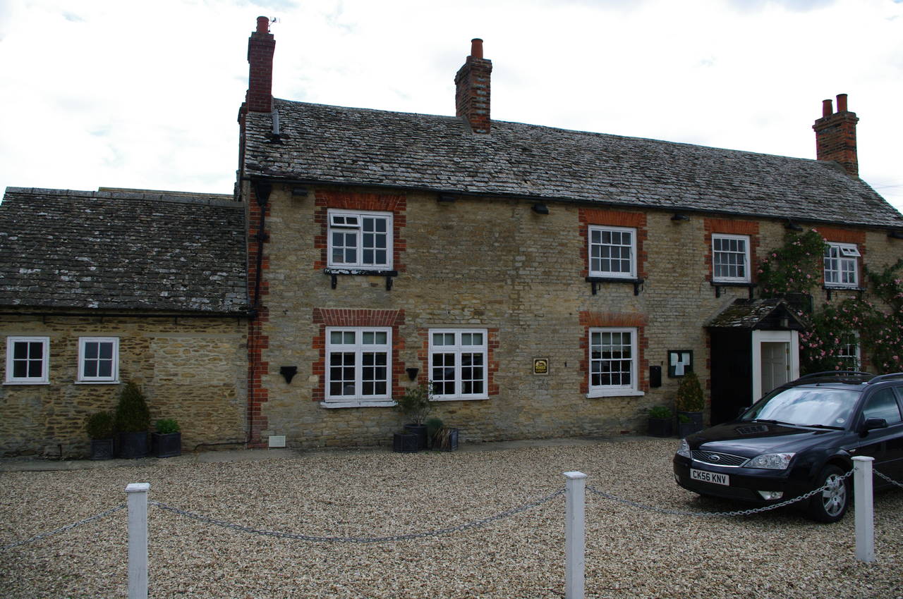
(1) Boat leaving St John's Lock

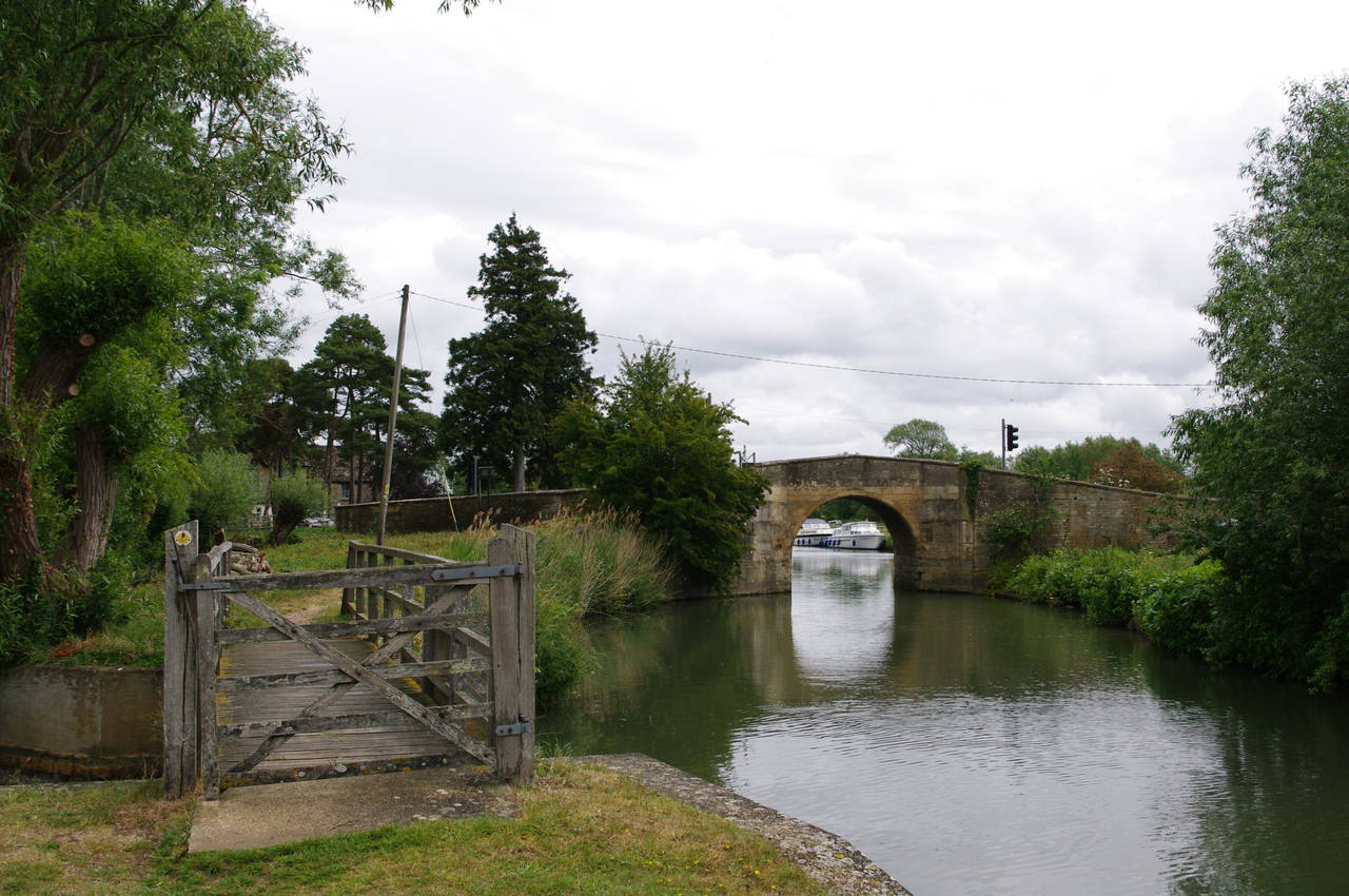
(2) St John's Bridge

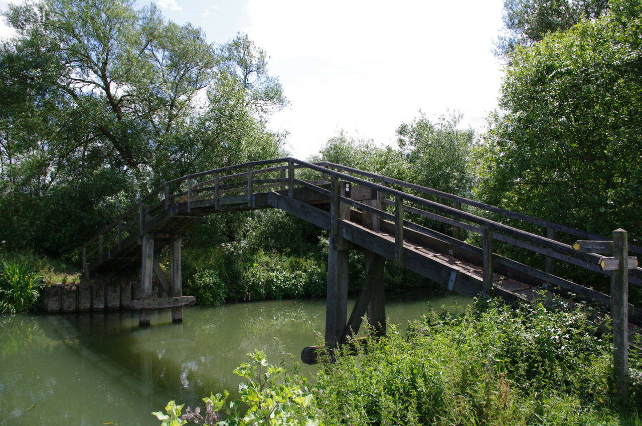
(3) Bloomers Hole Footbridge
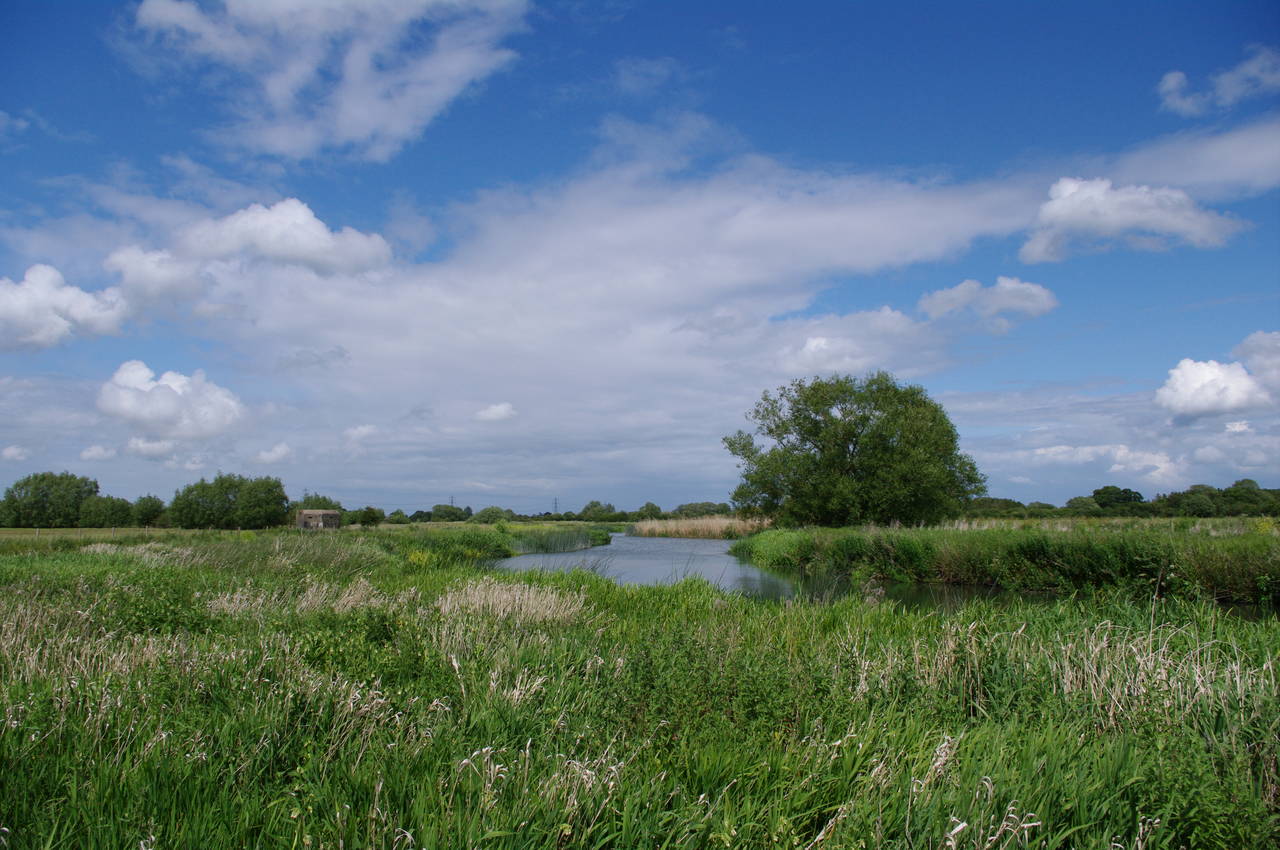
(4) River Thames near Buscot
When I woke this morning it was a clear and bright morning outside. However, by the time I had gotten the bus over to Lechlade and was retracing my steps down the A417 towards St John's Lock, some rather ominous looking dark clouds had swept in from the west and the scene looked anything but bright.
I arrived at the lock just in time to watch a narrowboat named Viceroy pass through the lock (picture 1) and motor off down the river and under St John's Bridge, where the Thames Path squeezes under the arch next to the water (picture 2). The boat seemed to have a cruising speed of only a little faster than walking pace.
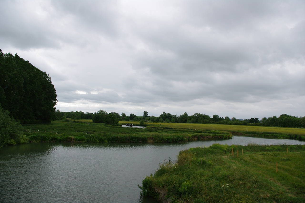
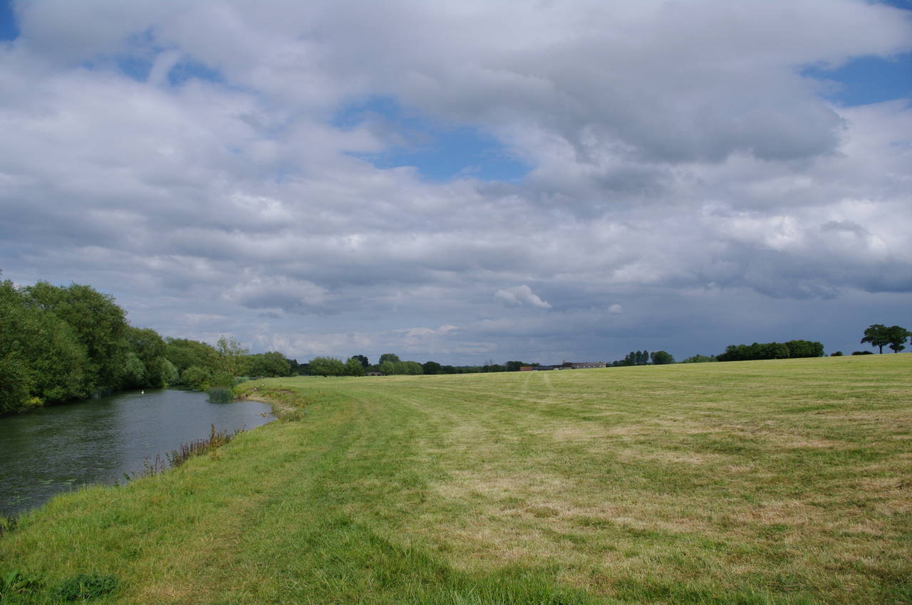
Once under St John's Bridge, the Thames Path crosses from Gloucestershire into Oxfordshire and follows the old towpath as the river twists and turns through open meadows, soon reaching the graceful wooden arch of the Bloomers Hole Footbridge (picture 3), opened in 2000, where the path crosses to the northern bank of the river. The fenced-off path then continues to follow the bank as the river twists and turns through the grassy meadows (picture 4).

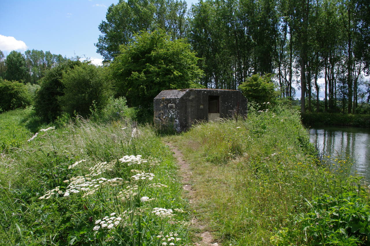
(5) WWII pillbox

(6) Buscot Lock

(7) Rain approaching near Buscot

(8) Grafton Lock
Before long the path passes a World War II pillbox (picture 5) -- one of many placed along the Thames just over 70 years ago to use the river as a last line of defence should German forces have made it onto English soil.
Around a few more loops in the river, the path crosses a weir onto one of the two lock islands of Buscot Lock. Unusually, there are two weirs here -- the older one crossed by the Thames Path on the north side of the lock, and a newer weir on the south side of the lock -- and thus two lock islands.
When I reached the lock, I saw the Viceroy was in the process of passing through the lock (picture 6), which drops the level of the Thames by around 1.7 metres. The Thames Path passes along the lock side and around the edge of the lock island before crossing a wide bridge to return to the north bank of the Thames.
The path continues downstream and after a few minutes I caught up to a couple who were also walking downstream, just as it started to rain (picture 7). As all three of us stopped to fish our wet weather clothes out of our backpacks, they introduced themselves as Dave and Jane and explained that they were walking the Thames Path and camping on or near the path each night.
The rain continued to fall steadily for about half an hour as I walked with Dave and Jane through open meadows along the north bank of the river. After seeing very few people on the first couple of days of the walk, it was good to have a chat. It turned out that Dave and Jane live in the western fringes on London and would pass quite close to home towards the end of the walk.
Soon we passed a short distance from the village of Kelmscott, famous as the country home of William Morris for 25 years. After another two kilometres the rain finally started to peter out and had all but stopped by the time we reached Grafton Lock (picture 8). A sign on the front of the lock-keeper's cottage shows that the lock was built in 1896.
Dave and Jane both needed to stop for a rest by the lock, as they were each carrying about double the weight that I had on my back -- the difference between camping out and making a series of day trips from a fixed base. I continued beyond the lock alone, figuring that Dave and Jane would probably catch up with me before the end of the day. I usually walk at a reasonably fast pace, but I tend to stop frequently to take photos, consult maps, or make brief excursions off the path. My GPS usually shows that I spend anything from 30% to 50% of the time standing still.

(9) A narrowboat called Dogma
(10) Radcot Canal Bridge

(11) Radcot Cradle Footbridge

(12) Radcot Lock
Beyond Grafton Lock, the Thames Path continues close to the north bank of the river. Along this stretch of the river, I saw several narrowboats heading slowly upriver (picture 9), each skipper calling out a friendly greeting as they passed by.
A little more than two kilometres from Grafton Lock, the path reaches the village of Radcot, where the river splits into two channels. The original channel heads off to the right to pass under Radcot Bridge (the oldest bridge on the Thames, parts of the structure dating from the 13th century), while the Thames Path follows the newer channel to the left up to Radcot Canal Bridge (picture 10), built in 1787. The route crosses the Canal Bridge to the island between the two channels, where there were many small boats and narrowboats moored along both sides of the island. The route follows the newer channel along the length of the island. At the far end the path crosses the Radcot Cradle Footbridge (picture 11) over the old channel to reach the south bank of the river.
Along the south bank, the path runs through several open meadows to reach Radcot Lock (picture 12), where the river drops another 1.5 metres.

(13) Old Man's Bridge
(14) Ducks near Old Man's Bridge

(15) Paddles and Rymers, Rushey Weir
(16) Topiary frog, Rushey Lock Cottage
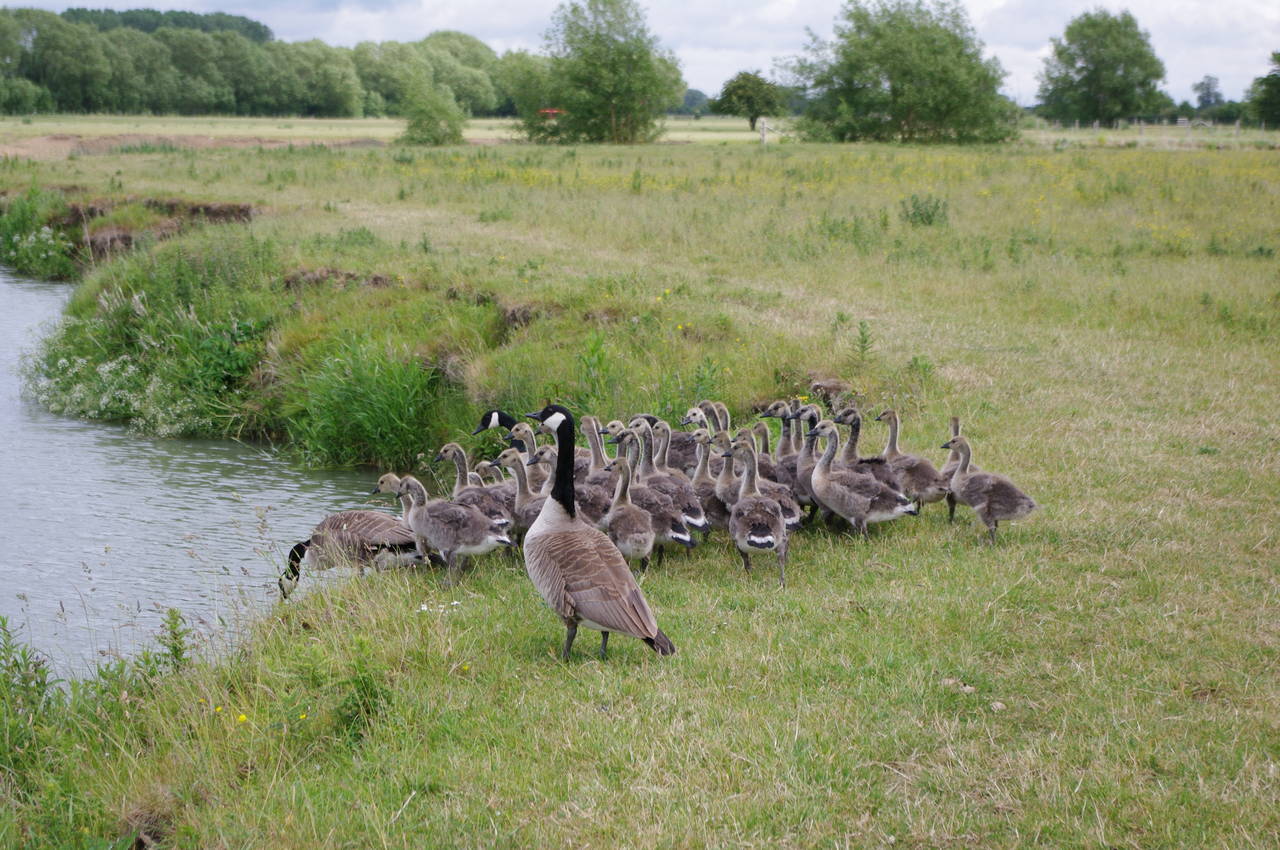
A short distance downstream from Radcot Lock, the river is crossed by the wooden Old Man's Bridge (picture 13), built in 1894. The Thames Path ignores the bridge and instead continues to follow the south bank. The river bends left and right as it meanders vaguely eastwards through grassy meadows, though the official route shortcuts across several of the loops in the course of the river. Before long I passed a large family of ducks making their way into the water (picture 14).
Around three kilometres downstream from Old Man's Bridge, the path reaches Rushey Weir, one of few remaining examples of a paddle-and-rhymer weir. The flow of water is controlled by inserting or removing the wooden paddles using the rhymers (handles). Several stacks of paddles-and-rhymers were standing at the end of the weir (picture 15).
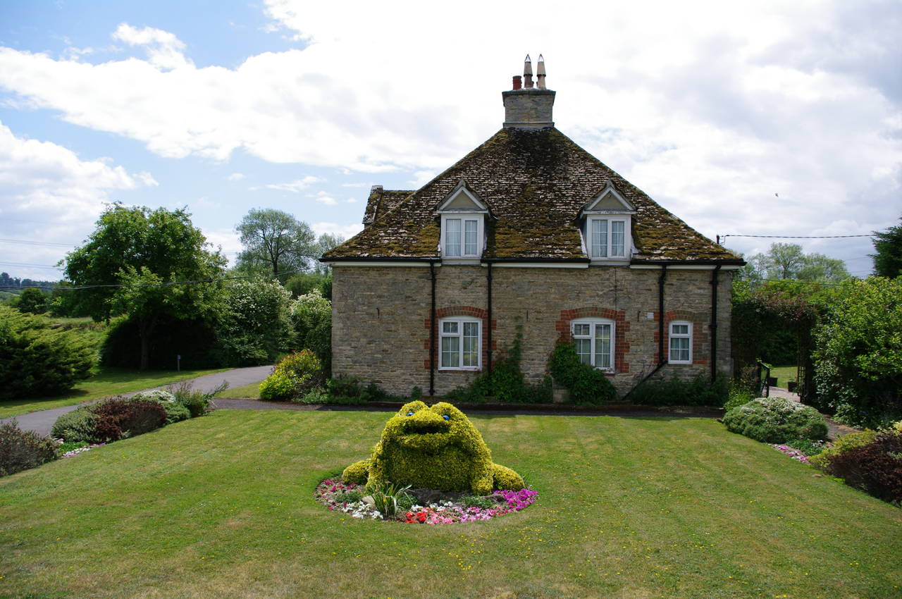
The route crosses the weir and follows a gravel footpath across the lock island, where a topiary frog sits in front of the attractive stone lock-keeper's cottage (picture 16).

(17) Rushey Lock

(18) Fields near Rushey Lock

(19) Tadpole Bridge
(20) The Trout Inn, Tadpole Bridge
After crossing the lock gates (picture 17), the Thames Path joins the lock access road, which runs along the north bank of the river, passing several large, sheep-grazed fields. As I was walking along this road, some more dark clouds rolled in (picture 18) and the temperature fell quite noticably. I was rather relieved to reach the stone arch of Tadpole Bridge (picture 19) just as the first few drops of rain began to fall.
The path climbs some steps up to the bridge and crosses the road to continue along the north bank of the river, but here I instead crossed the bridge to the Trout Inn gastropub (picture 20). Here I took shelter from the rain and enjoyed a fine lunch, including some superb home-baked bread.
(21) Pillbox, Chimney Meadows
(22) Tenfoot Bridge
(23) Chimney Meadows

(24) Shifford Cut Footbridge
By the end of lunch, it appeared that the rain had stopped, so I set off once again. As I crossed back over to the northern end of the bridge, Dave and Jane emerged onto the bridge, looking rather cold and wet -- they had waterproof jackets, but were both wearing shorts and their jackets didn't seem to have hoods. Consequently, they didn't need any persuading to venture into the cozy pub.
I felt a little bit guilty for having escaped the rain while Dave and Jane had obviously copped the worst of it, especially as the sun came out a few minutes after I set off along the grassy towpath.
This section of the path is mostly fairly open, with a line of tall trees along the opposite bank. The path soon passes an information board for the Chimney Meadows National Nature Reserve, closely followed by a WWII pillbox (picture 21), at least the fourth I had passed so far today. Several notices had been posted next to the path to warn of badger holes in the surface of the path.
Further on, the path reaches the wooden Tenfoot Bridge (picture 22), which preserves an old right of way that once crossed a flash-lock here. The Thames Path ignores the bridge, however, and instead continues along the edge of Chimney Meadows.
After a bit more than a kilometre, the river divides. The original course of the river heads off to the right towards the village of Duxford, while the Thames Path goes straight ahead along the man-made Shifford Lock Cut, which shortcuts a long and twisted loop in the river, saving about 1200 metres. Half way along the lock cut, the route crosses the wide Shifford Cut Footbridge (picture 24), which despite its name actually carries a farm track over the cut.

(25) Shifford Lock

(26) Footbridge near Shifford Lock

(27) Thames Path between Shifford and Newbridge
(28) Newbridge Farm
Once over the bridge, the path follows the farm track for a few metres before turning left through a wooden gate and following an enclosed path through bush and poplar woods. On reaching the Shifford Weir, I left the path briefly and crossed the weir onto the lock island to visit Shifford Lock (picture 25), where I watched a narrowboat go through the lock while I had a snack.
Returning to the Thames Path, I crossed a wooden footbridge over the old channel which rejoins the lock cut just below the lock. On the south bank once more, the path follows the river as it meanders through meadows before entering a more wooded section of riverside path via a wooden gate (picture 27). Emerging from the trees, the path follows the river round a bend where the final straight 1300-metre run up to Newbridge lies ahead across the fields of Newbridge Farm (picture 28).

(29) Newbridge

(30) The Maybush, Newbridge
(31) View downstream from Newbridge

(32) The Rose Revived, Newbridge
For most of this final stretch, the honey-coloured stone of the bridge can be seen growing gradually larger straight ahead. The bridge was built in the 13th century and is only new in the sense that it was built slightly later than Radcot Bridge. The River Windrush, which rises 65km away in the Cotswolds, flows into the Thames from the north just a few metres upstream from the bridge.
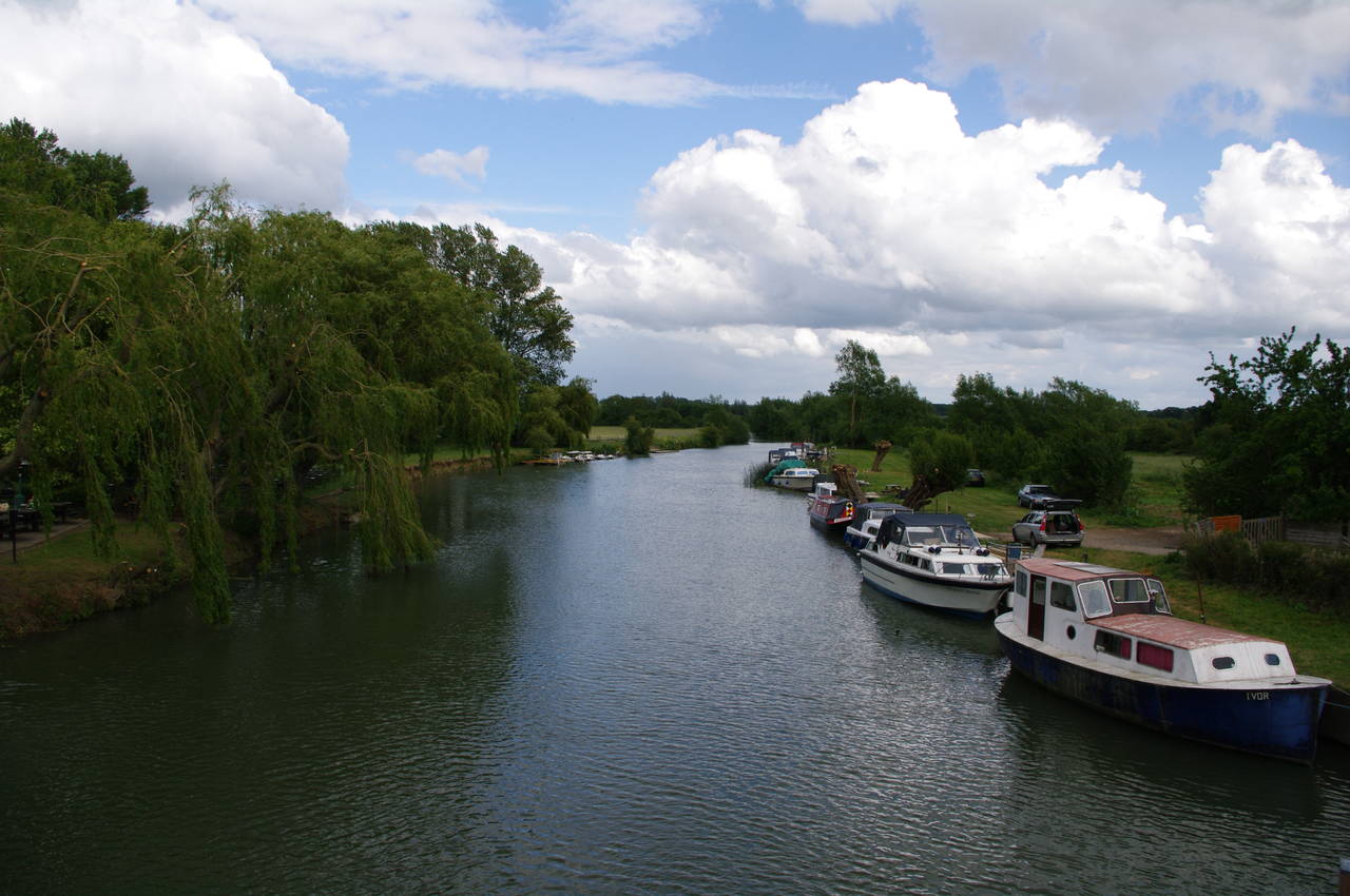
There are pubs at both ends of the bridge (picture 29); the Maybush at the southern end and the Rose Revived at the northern end. The Thames Path goes around the right-hand side of the Maybush (picture 30) and crosses the bridge. There were a number of boats moored downstream of the bridge (picture 31).
The path goes around the corner of the Rose Revived and into the large river-side beer garden (picture 32), where I finished my walk. In spite of the variable weather, it had been a good day's walking and I had covered another 24.9km of the Thames Path.
Unfortunately, I didn't quite have enough time to stop off in the pub for a meal, the last bus of the day leaving just before 17:30. This bus runs down to Southmoor, about 4km south of Newbridge, where I was able to change to the main bus service that runs between Oxford and Swindon. On the first bus it became apparent that Newbridge, which can only carry traffic in one direction at a time is a significant traffic bottleneck. According to my GPS unit, the line of cars waiting to go north across the bridge was some 1300 metres long.