KENNET AND AVON CANAL PATH
Stage 6: Thatcham to Reading
Thursday, September 1, 2016
It was a warm, mostly sunny morning when I returned to Thatcham on the first day of Autumn to start my last day on the Kennet and Avon Canal Path.
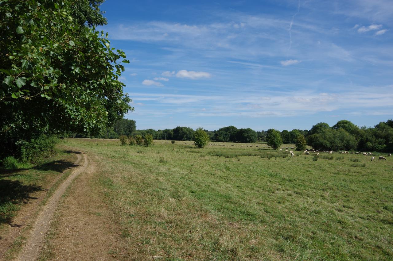
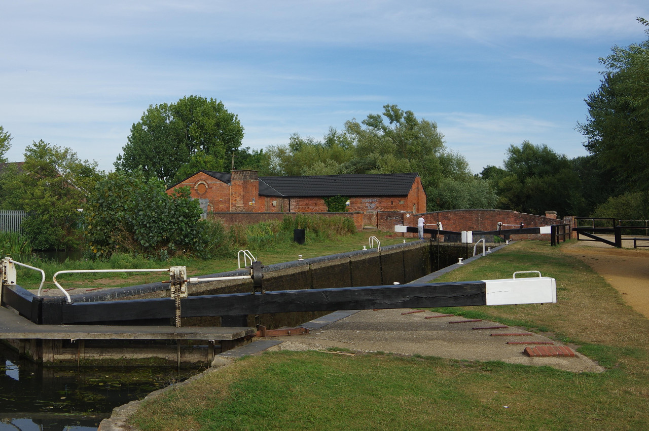
From the bridge next to Thatcham Station, the towpath runs down the right-hand side of the canal (picture 1), which gradually bears away from the railway tracks. Before long, the canal bends a little to the right, starting to pass a series of large industrial buildings. A few minutes walk after passing under a gantry carrying a pipeline over the canal from the fifth building (picture 2), the towpath crosses a small weir to reach Colthrop Lock (picture 3). A plaque on one of the arms of the lock says that the lock gates were rebuilt in July 1990 as part of the canal's restoration.
The path passes a row of houses and goes under Colthrop Bridge before leaving the lock island. A large sand and gravel operation stretches away to the right here, and the path passes two flooded gravel pits before crossing a footbridge over a second, larger, weir (picture 4) just as the industrial estate on the other side of the canal gives way to green fields.
Over the next 700 metres, the canal bends left twice then right to come up parallel with the Great Western Railway once again as the canal reaches Midgham Lock (picture 5). Beyond the adjoining Midgham Bridge, the next stretch of the path offers some good views across the canal and railway line to the hamlet of Midgham, where the spire of the Church of St Matthew stands atop a low hill about a kilometre from the path (picture 6).
After almost a kilometre the towpath uses the lonely Cranwells Swing Bridge (picture 7) to switch sides of the canal shortly before reaching Heale's Lock (picture 8). The landscape on both sides of the canal here is scarred by disused gravel pits, most of which are now full of water.
At Oxlease Swing Bridge, about 500 metres later, the towpath switches back to the right hand side of the canal, which then sweeps around a long right-hand bend and past moorings to reach Woolhampton Lock (picture 9).
Just below the lock, the River Kennet rejoins the Kennet Navigation from the right and the waterway then flows under Woolhampton Bridge, which happened to swing open as I approached (picture 10). Most of the village of Woolhampton lies across the bridge, aside from the sprawling Row Barge Free House, which is next to the towpath (picture 11). Around the next bend I passed opposite a pillbox (picture 12), built of brick rather than the more usual concrete.
At the next kink in the natural course of the River Kennet, the towpath crosses a substantial wooden footbridge (picture 13) over to the left bank. I assumed that this bridge was quite new, as the Ordnance Survey map still had it marked as a swing bridge.
The river meanders through quiet woods before separating from the canal once again and a straight stretch of the towpath then runs beside fields for about 400 metres to a small car parking area by Frouds Bridge. Across the bridge, the towpath resumes on the right side of the canal, passing large horse paddocks (picture 14), before heading into another wood.
Around the next bend the first houses of the village of Aldermaston Wharf stand across the canal, though the towpath's side remains wooded for most of the 500 metres up to Aldermaston Lock, where the unusual scalloped brickwork of the lock chamber is one of only two examples on the canal (picture 16).
Just ahead, the Aldermaston Lift Bridge (picture 17) crosses the canal between the two halves of the village. The bridge is opened by a pair of hydraulic rams under the northern end.
The towpath crosses the bridge and heads down the left bank of the canal, where the Kennet and Avon Canal Visitor Centre stands next to the path (picture 18), though it was closed when I passed by. A shame, as I had been looking forward to having a look around.
Beyond moorings where the narrowboats were two-deep, the path passes Padworth Lock before sweeping left and passing by Froudes Swing Bridge (picture 19). A shaded stretch of the towpath then leads on past Towney Lock (picture 20) and Towney Bridge.
The canal briefly runs next to the Great Western Railway as it passes the hamlet of Lower Padworth (picture 21) before bearing away to head for the disused Ufton Lock (picture 22). The Canal Path uses the adjoining road bridge to cross both the canal and the River Kennet, just upstream from where the two merge.
For the next kilometre the canal runs beside quiet fields (picture 23) to pass Tyle Mill Lock and an adjacent swing bridge. 700 metres further, the path passes opposite the large Sulhampstead Weir (picture 24), where the Kennet loops away to the left.
It's about as far again before the path passes Sulhamstead Lock (picture 25), lock number 100, and the river rejoins the canal. There are more flooded gravel pits on both sides of the canal here. For the next 600 metres, one of these ponds (picture 26) is separated from the canal by a narrow strip of land that carries the towpath.
Leaving the lake behind, the towpath passes Bridge 19 (picture 27), which carries Hangar Road over to the village of Theale. The path soon passes Sheffield Lock, which has similar scalloped brickwork to the earlier Aldermaston Lock. The towpath becomes a broad cycle path now, heading onward to Garston Lock, guarded by two pillboxes (picture 28) and the last of the two turf-sided locks on the canal.
Just beyond Garston Lock, a viewpoint gives views over a lake (picture 29), by far the largest passed on the Canal Path, covering almost a square kilometre and large enough to have its own sailing club. Unfortunately, none of my maps give a name for this lake. Opposite the view point, the River Kennet merges into the canal again.
The canal soon passes under the six lanes of the M4, then at Hissey's Bridge (picture 30), the Canal Path swaps sides again and sticks to the meandering river bank as it runs alongside large pastures (picture 31) for the next 1200 metres to reach Burghfield Lock (picture 32).
A few minutes walk beyond the lock, a large wooden footbridge (picture 33) takes the towpath back to the right-hand side of the canal. The towpath then leads on past the Cunning Man pub (picture 34) and under the sturdy Burghfield Bridge (picture 35). The path soon passes by a large metal recycling yard before the trees take over again for the next kilometre up to South Mill and Southcote Lock (picture 36).
The Canal Path ignores Bridge 13, which crosses the canal just beyond the lock, and instead turns right over Bridge 12 to leave the lock island and continue along the right bank of the canal, which soon goes under a railway bridge carrying the line between Reading and Basingstoke.
The next bridge crosses a weir onto the marshy Fobney Island, which is a wetland nature reserve. The broad towpath runs alongside the canal (picture 37) to the far end of the island and Fobney Lock (picture 38).
The Canal Path crosses the brick bridge over the end of the lock and skirts around behind the Fobney Pumping Station before joining a long path that follows the perimeter fence of the Fobney Water Treatment Works. From here, the canal and the River Kennet are one and the same for the rest of the way to the Thames.
At the end of the the treatment works, the canal passes under Bridge 8A (picture 39), shortly followed by the almost identical bridge 8. Now tarmacked, the path follows the canal for about 500 metres to reach a commercial estate on the edge of Reading, and about as far again before the first houses appear across the canal (picture 40).
The towpath, which was becoming ever busier with cyclists, continues under Berkeley Avenue and the A329 to reach a wider part of the river where County Lock nestles against the far bank (picture 41). County Lock is the shallowest lock on the entire Kennet and Avon Canal, with a fall of only thirty-six centimetres.
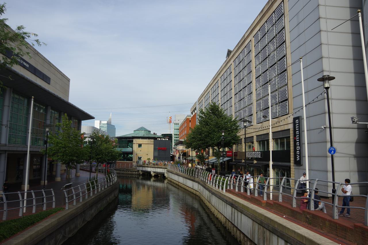
At the next bridge, the Canal Path swaps sides of the canal for the very last time to run along the edge of the Oracle Shopping Centre (picture 42) in the heart of Reading. From 1789 until 1980, this was the site of the H. & G. Simonds Brewery, formerly one of Reading's largest employers.
At the next bridge, the Canal Path is briefly forced away from the riverbank. The route crosses Yield Hall Place and then London Street, turning left along the latter for a few steps then right into Star Lane, which leads back to the riverside path.
Gradually leaving the town centre behind, the riverside path passes modern apartment buildings before going under the Watlington Street Bridge and soon the the King's Road Bridge (picture 43). The building in the background is the last remaining part of the Huntley & Palmers biscuit factory, which operated from 1822 until 1976. At the turn of the 20th century, this was the largest biscuit factory in the world.
Beyond a few more apartment buildings, the path reaches Blake's Lock (picture 44), the last of the 107 locks on the Kennet and Avon Canal.
An old gas holder looms over the river beyond a footbridge (picture 45). Next, the river is crossed by a railway bridge carrying two tracks up from Guildford to Reading. A little further on, a larger bridge (picture 46) carries the Great Western Mainline between London Paddington and Reading. On the other side of that bridge, the River Kennet flows into the River Thames (picture 47), marking the end of the Kennet and Avon Canal and the end of the 151 kilometre Kennet and Avon Canal Path. My GPS showed 25.3 kilometres covered on this final stage of the walk.
After stopping for a while to enjoy the completion of another long-distance walk, I crossed the mouth of the Kennet via the Horseshoe Footbridge attached to the side of the railway bridge and followed the Thames Path upstream for about twenty minutes to Reading Bridge (picture 48), from which it is a short walk to both Reading Station and the town centre, where I quickly found a pub for a celebratory ale before catching my train.
I have always assumed that Reading is a city, given that's it's population is well over 200,000 and its football team is called Reading City FC. However, Reading has never been granted city status, and is officially a town — the county town of Berkshire.


