THE NORTH DOWNS WAY
Stage 1: Farnham to St Martha's Hill
Friday, July 23rd 2010
I walked the first section of the North Downs Way on Friday, July 23rd 2010, heading more-or-less straight to Farnham after getting off my flight to Heathrow. I suspect that most walkers on the North Downs Way finish their first day at Guildford, but with the seeming lack of good budget accommodation in Guildford in the middle of summer, combined with my love of English pubs, I decided to walk a little further on the first day and stay in a village pub instead.
After leaving the airport, I got the tube to London Waterloo Station, where I dropped off my suitcase and caught the next train to Farnham in the county of Surrey. A pleasant train ride of just over an hour takes you through the southern suburbs of London and then out into the open countryside. It started to rain a couple of stops before the train reached Farnham, but fortunately the rain stopped as I reached the start of the walk and it didn't rain again, though it remained overcast for most of the morning.
From Farnham Station, it is no more than five minutes walk down Station Hill to the start of the North Downs Way, passing a Q8 petrol station where I picked up some water and snacks for the walk. The start of the North Downs Way is a bit underwhelming, with just an information board and a fingerpost at the busy A31 intersection marking the spot (pictures 1 and 2).
A short distance down the A31, the trail goes into the trees but continues to parallel the road until it passes behind a petrol station and then gradually heads away from the road (picture 3). Before long, the trail passes the old Snayleslynch Farm (picture 4) before eventually passing under a railway bridge.
The trail then continues through the edge of the woods with a meadow on the left before turning right through a gate and passing a strange carved bench (picture 5). This turn would be easy to miss if you weren't paying close attention.
Further on, the trail joins a paved road before turning left onto Moor Park Lane. A short distance along the lane, a bridge crosses the River Wey (picture 6). A little further down the lane it passes Moor Park House, former home of Jonathan Swift who wrote Gulliver's Travels.
After a short, steep climb along the road, the trail veers off the road to the right beside a house called Weyhanger. This is another turn that could be easy to miss. The trail then continues with a meadow on the right and a landfill site on the left. You can't see the landfill site due to trees and large mounds, but you can certainly smell it.
As the aroma of the landfill receded, the path entered a pleasant stretch of woodland called Runfold Wood Nature Reserve (picture 7). Leaving the woods, I crossed a road and walked through another small section of woodland before turning right onto a second road, which leads past a vine-covered house (picture 8).
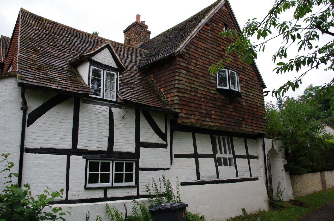
The route soon turns left onto Blighton Lane, just beyond the Farnham Golf Club (picture 9), then follows the lane beside the golf course, eventually turning right over a small wooden bridge just before two cottages to follow the edge of the golf course again. Beyond the golf course the path continues straight ahead next to a large meadow, eventually crossing a minor road. Here I took a detour along the road to the left to visit the pretty village of Seale, with its War Memorial (picture 10), parish church (picture 11) and a collection of fine old houses (picture 12). The seats next to the War Memorial have a nice view down the hillside and were a good place to rest and eat a snack.
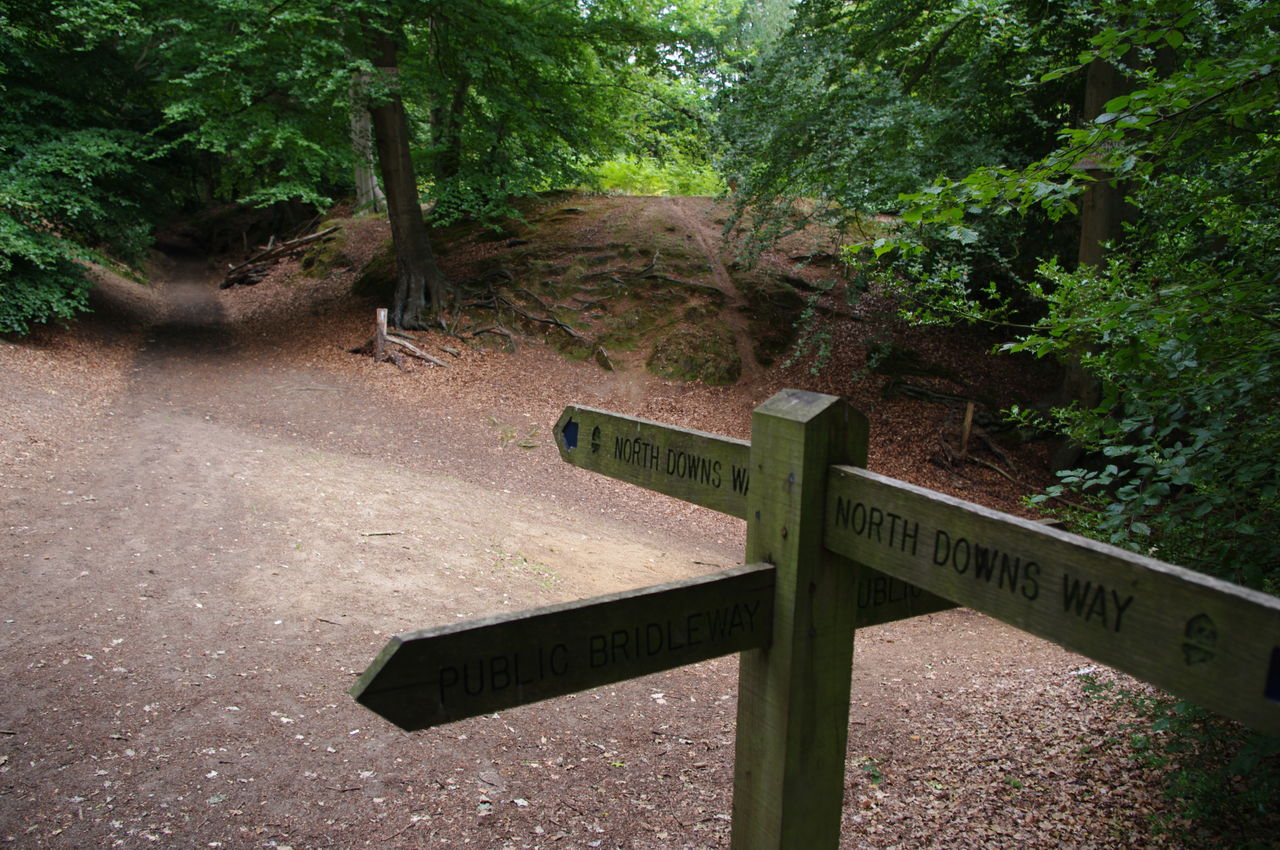
Shortly after rejoining the trail in the woods, it passes along the edge of a large meadow with views off to the left before entering another, longer stretch of woods (picture 13). This section is a bridleway and there's plenty of evidence that horses have used the trail here. There were also several joggers on this section of the track. Some of the waymarkers here are missing and there are a few temporary markers in their place.
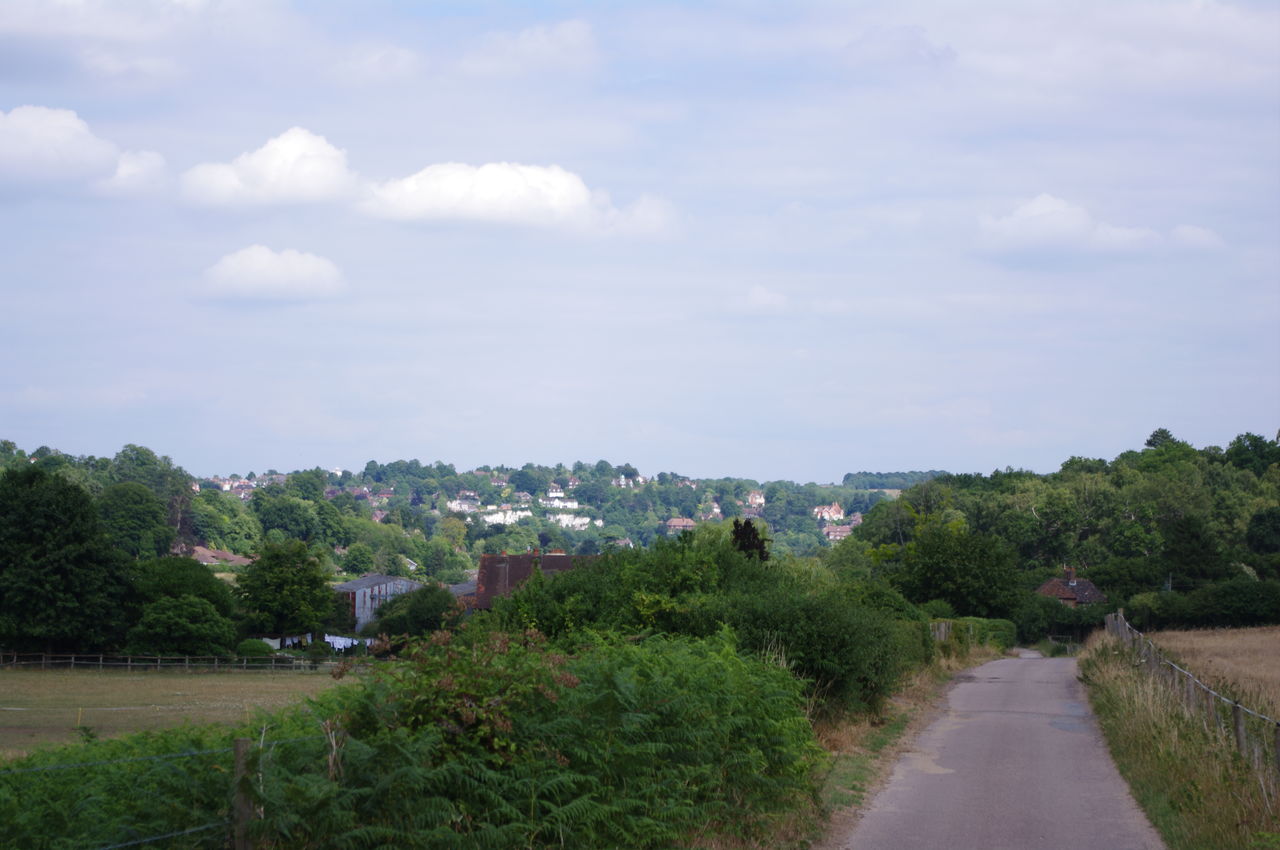
The trail climbs gently, passing Hope Cottage before joining a paved road and continuing up Clouds Hill, where at times there are good views off to the left (picture 14). Continuing along the road, I arrived at the village of Puttenham -- a long series of pretty brick, timber and stone cottages (picture 15).
Near the far end of Puttenham's main street, I found The Good Intent (picture 16), a cozy, low-beamed 16th century pub with a good selection of guest ales, including Ringwood's Best and the superb Timothy Taylor's Landlord. The Good Intent made a nice place to stop for an hour for lunch and a couple of ales. he last surviving hop field in Surrey is near Puttenham. The hops grown here are used in the famous Harveys Sussex Best Bitter, which happened to be one of the pub's regular beers.
Heading out of the village, I passed a camping barn and a church before joining the main road, where an interesting monument to the millennium stands on the verge (picture 17).
A short distance down the road, the trail crosses the busy road in front of the Jolly Farmer pub and heads away along a track beside another golf course. It wasn't long before I came across a group of golfers, one of whom saw me looking at my map and jokingly pointed over his shoulder and said "Canterbury's that way." "Excellent," I replied, "that's where I'm going." Perhaps this wasn't the response that the gentleman was expecting.
The path continues past the golf course and under the bridges of the A3 and B3000 roads; the latter has a pilgrim's cross on the top (picture 18). Shortly after passing under the second bridge, the path comes to an intersection and goes slightly left of straight ahead and through another section of forest (picture 19). Turning right at the intersection would have lead to the village of Compton and its 11th-century parish church and the local pub, which would be another possibility for lunch.
The route crosses a bridleway before turning left onto a footpath that parallels the bridleway. From here I could see three tall masts on the hill to the left (picture 20).
The footpath climbs for a while, then levels out giving good views of Guildford to the north-east (picture 21). The path then descends past a farmhouse where a sign advertises "Free range children and animals" before joining a short paved road which emerges at a T-junction with Ye Olde Ship Inn directly across the road ahead (picture 22).
After carefully crossing the busy road, the trail goes into the street to the right of the Inn, crosses a railway bridge and then follows the leftmost of two paths steeply downwards to the River Wey (picture 23). On this particular Friday afternoon there was a couple rowing a small boat along the river and a group of school children daring each other to jump from the footbridge into the river. Wisely, none of them was game.
After crossing the footbridge, the path turns right, then left through a field of long grass and wildflowers. It then crosses a large empty park to a main road, which it crosses into a side street, aptly named "Pilgrims Way". At the end of Pilgrims Way, the trail leaves the road and joins a footpath that climbs over a hill with paddocks on the left and Chantry Wood on the right, then over another hill, cutting through a shady section of the wood (picture 24).
The trail winds its way across a clearing at the foot of the hill before re-entering the woods and climbing steeply up St Martha's Hill. The climb here is quite strenuous due to the very soft sandy track. At the top, I was rewarded with the sight of St Martha's Church (picture 25), and the magnificent views of the Surrey countryside to the south (picture 26).
From here, I descended the other side of St Martha's Hill, leaving the North Downs Way where it intersects with the Downs Link (a 50km path joining the North and South Downs). The signposting here was poor and the turn-off to the Downs Link is very easy to miss -- if you reach a paved road, you've missed the Downs Link.
About half an hour's walk along the Downs Link is the village of Blackheath, where I spent the night at The Villagers Inn. The three guest rooms behind the pub are plain and simple, but the pub itself is quite pretty inside and out, and serves some nice meals and a few nice ales, including Shere Drop (the village of Shere is not far from the next day's route of the North Downs Way).
After the wet start, the day turned out to be quite pleasant for walking and it was good to have the first stage of the North Downs Way completed just after 5PM. Total distance covered today was around 24km, with 20 of that being on the North Downs Way.


