SMUGGLERS' WAY
Stage 4: Liskeard to Minions
Monday, May 14, 2018
After a few days off the Smugglers' Way to walk the nearby Two Valleys Walk and explore the towns of Lostwithiel and Liskeard, I rejoined the Way at Liskeard Station on a sunny Monday morning. From the station forecourt, the Smugglers' Way follows the B3254, initially as Station Road, then Barn Street then Windsor Place, over the busy A38 and onward to a small roundabout in the centre of Liskeard. Straight ahead, the pavement on the left side of Barras Street leads past the White Horse pub to a paved seating area opposite Webb's House (picture 1).
Bearing left past the seating area and then right about 40 metres later into Barras Place, the Way passes a small stone church on the left and climbs to a fork at the top of the hill. The left branch is Venslooe Hill, which soon leaves the town behind, making a long descent as a sunken lane before eventually passing the entrance of Woodhill Manor and zigzagging under a sturdy railway bridge belonging to the dismantled Liskeard and Caradon Railway (picture 2).
Beyond the bridge, there are some better views across the fields towards the tree-shrouded Treworgey Manor (picture 3) as the lane continues to an isolated crossroads (picture 4).
The sunken track leading ahead from the crossroads is lined with bluebells (picture 5) and climbs up to the edge of St Cleer Downs, a 38-hectare area of scrub-covered common land on the edge of Bodmin Moor. Just before entering the common there are far-reaching views westward over fertile farmland (picture 6).
An obvious path runs through the western edge of the common (picture 7), still climbing though more gently than before, to reach a gravel lane along which the Way bears right to reach a road opposite the St Cleer Garage. Turning left through the village of St Cleer on Fore Street, I soon reached the Stag inn (picture 8), where I had planned to stop for lunch, but I found it closed and bearing several For Sale signs.
Just past the Stag inn, the Smugglers' Way takes the next right turn down the steep Well Lane, where after a few steps I was relieved to find that another pub, The Market Inn (picture 9), was open for business and serving lunch.
After lunch I wandered around the churchyard of the large 13th-century Church of St Clarus (picture 10) before resuming the walk down Well Lane. Within a few minutes I passed a Cornish cross and small, steep-roofed structure covering the St Cleer Holy Well (picture 11). A small plaque says that the well was restored in 1864, but the building dates from the 15th century and the well itself is even older.
Well Lane continues past the local primary school before leaving St Cleer and passing a few fields to reach the smaller settlement of Tremar Coombe (picture 12).
The Way goes up a driveway opposite the junction at the end of Well Lane and just after the first house a wooden gate on the left gives access to the ancient Monks Path (picture 13). The stone-walled and tree-lined path climbs steadily for a while, eventually merging into a farm track that goes ahead between a field and a cluster of modern houses to a wooden gate onto another lane.
Just to the left, in the corner of the field is Trethevy Quoit (picture 14), the remains of a neolithic chamber tomb with a large, sloping granite capstone weighing around 20 tonnes supported by five vertical slabs. The capstone was originally level, supported by an additional stone at the back that has since fallen over, and the whole 2.7-metre-high structure was originally surrounded by an earth-covered cairn. The 5,500 year-old remains are still an impressive sight, but sadly rather blighted by the houses built right next to them.
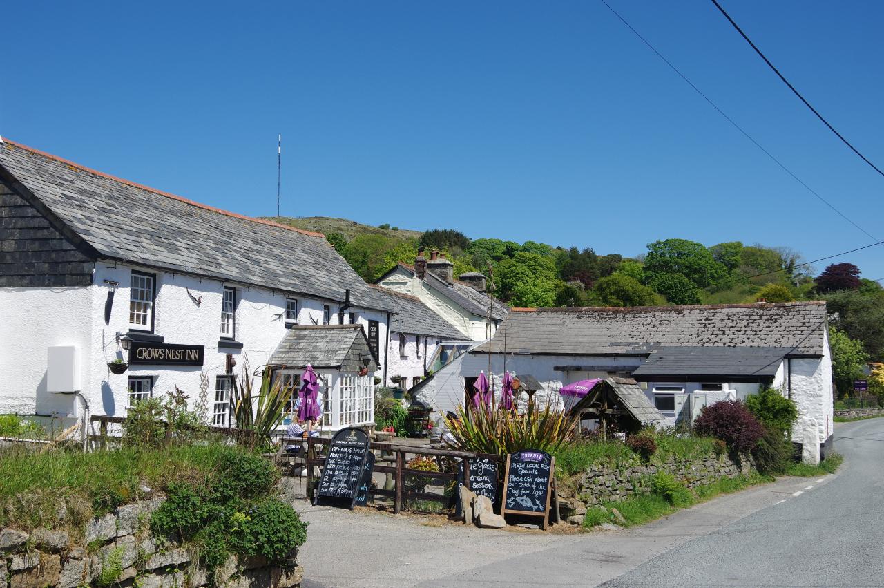
From Trethevy Quoit, the Smugglers' Way crosses a small carpark and descends a quiet lane going right then left, with views up to the tall television transmitter mast atop Caradon Hill (picture 15) before the lane kinks right then left again to pass the entrance of Trethevy Farm. Just after crossing a stream, the Way turns left again at a junction and follows the lane up into the village of Crows Nest (picture 16).
Turning left along the road past the Crows Nest Inn (picture 17), the Way goes another 100 metres before turning right up a track that climbs to join a lane on the edge of the village of Darite, now unmistakably on Bodmin Moor. The lane keeps climbing to Downhill Farm, where the Way goes through the rightmost of two gates and onto a path along the shoulder of the valley running along the west side of Caradon Hill.
Across the valley (picture 18), ragged lines of stone chimneys and derelict engine houses show the courses of the copper lodes that were once mined extensively on Caradon Hill, while back down the valley there are far reaching views beyond the southern edge of the moor (picture 19).
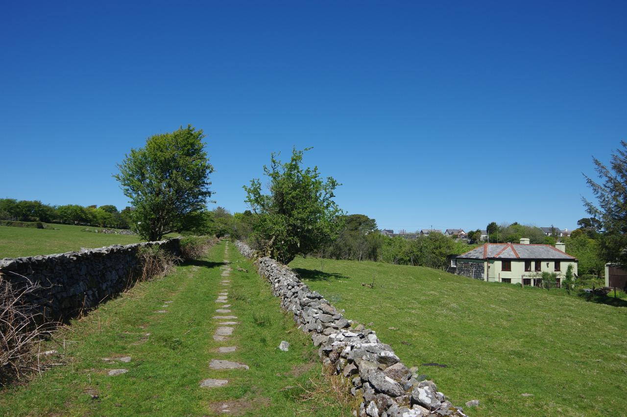
At a fork, the Way goes left, continuing up the side of the valley before going right at the next fork to drop down between large heaps of mining spoil to join the course of the old mining tramway that ran down the valley in the 19th century. In several places there are still rows of flat stones that once held its rails (picture 20).
The old tramway is now followed all the way up the valley, climbing steadily and passing Gonamena House (picture 21), a cluster of farm buildings (picture 22) and a small sewage works before the path levels out and one final long stretch of tramway slabs (picture 23) lead to the edge of Minions. An unsealed driveway leads to the main road through the village, which the Way crosses to head up a dusty track onto the open moor, but that would wait for tomorrow. Instead, having walked 10.3km from Liskeard, I turned right to the Cheesewring Hotel (picture 24) for a pint.
It was still only mid-afternoon, so I had plenty of time to explore the village and its surrounding moorland, which are one of the ten areas covered by the Cornish Mining World Heritage Site. At 307 metres above sea-level, Minions is also the highest village in Cornwall.
Just north of the village, the restored engine house of the South Phoenix Mine contains the Minions Heritage Centre (picture 25), where displays detail the area's mining history. From the Heritage Centre there is a view eastward off Bodmin Moor toward distant Dartmoor (picture 26).
As well as the many relics of the mining industry around Minions, there are also a number of prehistoric remains. One of these can be found just off the road about 800 metres south-west of the village. The Longstone (picture 27), standing almost three metres tall, is thought to be an ancient granite standing stone that was carved with a cross by early-Celtic Christians during the Dark Ages.
At the time of my visit, the Cheesewring Hotel's guest rooms were being renovated and were not available for visitors. Instead, my overnight stop was about half an hour's walk east of Minions, just off the edge of the moor in the village of Upton Cross, where I spent a comfortable night at the cozy and welcoming Caradon Inn (picture 28). It was a pleasant downhill walk along the road between the two villages, passing the north side of Caradon Hill, though obviously I was going to have to climb back up to Minions the following morning.


