TWO MOORS WAY
Stage 3: Hamel Down to Drewsteignton
Sunday, May 19, 2019
I awoke just after dawn on another rather chilly morning, the cold making me feel quite sluggish as I broke down my little tent and packed all my gear back into my rucksack. I had enough supplies for the day and I was planning to walk for an hour or so before stopping for breakfast, so there was no need to walk back down to Widecombe. Instead, I headed up the lane to the Two Crosses carpark to join the ridgetop track along Hamel Down for a kilometre to rejoin the Two Moors Way.
To the left of the ridge, the view across the green and fertile valley of the West Webburn River is dominated by the moorland ridge of Corndon Down and, to its right, a more distant view into the sparsely-populated centre of Dartmoor (picture 1). To the right of the ridge, in the direction of the rising sun, the view down into the valley of the East Webburn River was quite hazy, throwing the now-familiar profiles of Hay Tor and Saddle Tor almost into silhouette (picture 2).
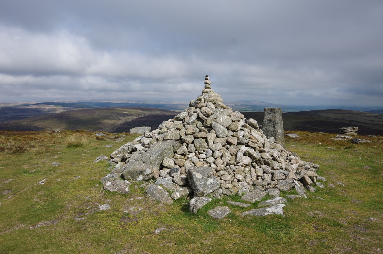
From the junction where the Two Moors Way merges into the ridgetop path, the Way initially backtracks a short distance along the ridgetop path then follows a stone wall northward (picture 3). The wall soon ends and a rough track continues ahead among scattered clumps of gorse, climbing steadily up the rounded hill of Hameldown Beacon and very gradually curving to the left as it goes. After a little more than a kilometre's distance and a little over one hundred metres elevation gain, a burial cairn next to a stone wall just to the left of the track marks the 517-metre summit.
Curiously, the weathered marker stone atop the cairn proclaims this spot as "HAMILTON BEACON" (picture 4), though I haven't been able to find an explanation for the discrepancy in naming. The reverse side bears the date 1854 and the initials DS, for the then Duke of Somerset, who had several of these stones placed along the ridge to delineate the boundary of his estate.
From Hameldown Beacon, the track continues to the next corner in the stone wall, where two conjoined cairns are named "TWO BARROWS" by another of the Duke's boundary stones. The path, now rutted and quite badly eroded in places, then bears slightly right to climb a gorse-covered slope to the prominent mound of Broad Barrow (picture 5).
The path forks just in front of the barrow and the left branch climbs over the top, the highest point on the Two Moors Way at an elevation of 532 metres. In a little hollow on the top of the mound, yet another of the 1854 boundary stones is labeled "BROAD BURROW" (picture 6), leading me to wonder whether the Duke disliked proofreading.
Leaving Broad Barrow behind, the Way continues along what is now a wide plateau, following a grassy trail through a sea of close-cropped gorse to a stone cairn and trig pillar at Hameldown Tor, just three metres lower than Broad Barrow.
I paused here, sitting on one of the large flat rocks near the cairn to eat my breakfast while the sun made a few hesitant attempts to emerge from behind the clouds and light up the peak before finally making up its mind to stick around (picture 7). By the time I had finished my cereal and readied myself to move on, the gloom was also receding from the moorland to the north-west, which I would be traversing over the next few hours (picture 8).
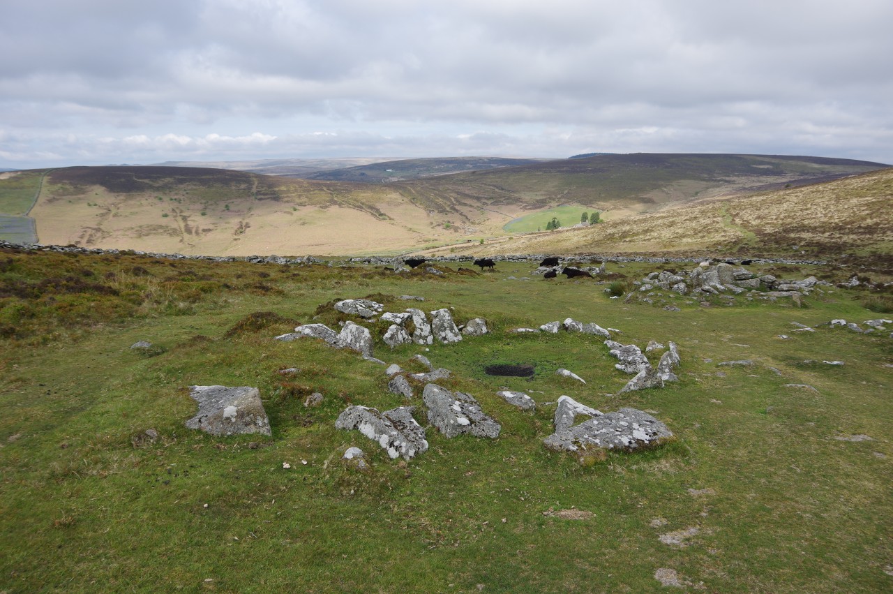
Just beyond Hameldown Tor, the Two Moors Way heads over the lip of the plateau and the ground drops away steeply to reveal the Bronze Age settlement of Grimspound, where a stone wall encircles an area of around four acres (picture 9). The Way heads down the slope to skirt around the lower side of the enclosure, but before proceeding I walked through the roughly-paved entrance in the stone wall (picture 10) and into the enclosure, where the stone foundations of twenty-four small roundhouses are dotted about in a seemingly random layout (picture 11).
Grimspound has been dated by archaeologists to around 1,300 B.C., but the name may have been given as recently as 1797, when it first appeared in print. Grim was the Anglo-Saxon name for the Norse god of war better known as Odin or Woden.
Back outside the pound, the Way climbs a steep path up the side of Hookney Tor and into the middle of a cluster of granite outcrops on the summit (picture 12).
On Hookney Tor, the Way turns right to follow a path that soon curves left and heads for a couple of stone gateposts, sans gate, just to the left of the junction of three stone walls. Three paths fan out from here and the Way takes the middle one, effectively bearing half-left from its previous course, descending a heathery slope to cross a minor road called Woden's Way (picture 13), another reference to the Norse god.
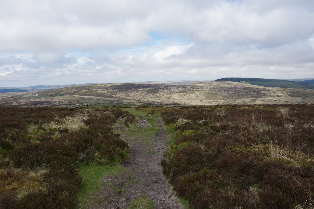
A rough path on the other side continues straight ahead to climb over the shoulder of Birch Tor, though out of sight of its summit. Once over the top, the long ribbon of tarmac of the B3212 comes into view ahead (picture 14) and the Way bears slightly left to aim for a small parking area down by the road.
The lone white building visible another kilometre further down the road to the left is the Warren House Inn. The idea of diverting to the pub for some liquid refreshment crossed my mind, but it was still more than an hour before opening time, so I reluctantly decided to resist temptation and press on.
Shortly after the path begins to descend, what at first appears to be another cairn is revealed from the other side to be some kind of small shelter (picture 15). At the bottom of the slope, just before the road and about fifty metres to the right of the carpark, the path passes the weather-beaten Bennett's Cross (picture 16), one of the most distinctive of Dartmoor's wayside crosses.
Opposite the carpark, a path heads across the gorse and cottongrass of Bush Down, curving right after a few minutes walking to head along the side of the Hurston Ridge (picture 17). The ridge soon gives way to a long, gentle descent across the large expanse of Chagford Common (picture 18), with Fernworthy Forest (picture 19), Dartmoor's largest timber plantation, bordering the common a kilometre over to the left and a patchwork of small fields a similar distance over to the right. The forest, covering more than five square kilometres, was planted on moorland between the two world wars and the now-mature conifers surround several prehistoric sites and a large reservoir.
Towards the far end of the common, the forest and farmland begin to encroach from either side and the path comes up to the corner of a stone field wall, joining a deeply rutted vehicle track running alongside the wall and heading up to the forest's access road. The Way bears right along the tarmac, following a drystone wall over a slight rise then heading downhill towards lush green fields (picture 20).
Shortly after crossing a cattle grid, the first Two Moors Way signpost of the day points to the left into Yardworthy Farm, following the driveway past a large barn and up to a group of farm buildings (picture 21). In the middle of these, a well-signposted gate on the right opens into a field where the Way follows a hedge along the right-hand side and through a metal gate into a grassy meadow strewn with patches of tiny wildflowers (picture 22).
Once again, the Way follows the hedge down the right side, crossing a stile to descend into a shallow gully where a wooden footbridge crosses the South Teign River (picture 23), the first of several encounters with this waterway over the next few kilometres. The river rises a few kilometres away in Fernworthy Forest and after being joined by the North Teign River it flows off the east side of Dartmoor and through the town of Newton Abbot to reach the sea at Teignmouth.
Having crossed the footbridge, the Way climbs very steeply up the left side of the next field to join an enclosed track (picture 24). This track runs alongside the high stone wall of Teignworthy, turning left at the next corner to follow another section of the wall before turning right to reach a gate by the edge of Frenchbeer Farm.
A sign affixed to the gate warns of a penalty of up to forty shillings for anyone who fails to shut the gate after passing through. Since I wasn't carrying any shillings I made doubly sure that the gate was securely fastened before walking between the stone farm buildings to the quiet lane that cuts through the farm.
Consulting my Ordnance Survey at this point I noticed that it labeled the farm as "Great Frenchbeer". I have to confess that I was not above sending a photo of the map to my beer-loving friends, a couple of whom are French, to ask if there is really such a thing as great French beer. Their responses weren't terribly patriotic.
Diagonally right across the lane, a signpost points along a hedge-lined driveway. An unsignposted footpath soon bears off to the right, heading through trees, over a stile, across a field of bluebells (picture 25), and over a second stile. A short track beside a post-and-rail fence leads to a wooden gate opposite another stile next to a TMW signpost pointing across a meadow, part of a farm called Boldventure. The signpost points toward yet another stile under the trees on the far side of the meadow, from which a narrow boardwalk heads into a quiet wood (picture 26).
A path leads out of the wood, across a muddy field and into a second wood, where the Way takes a narrow footpath to the left of a more obvious track. After leaving that wood, a path along the left edge of a rough field leads to a small footbridge over a stream then a jump across another small stream and into a grassy meadow. A signpost points along the left side of that meadow and through a couple of gates onto a farm driveway that is followed right to join a lane in the hamlet of Teigncombe (picture 27).
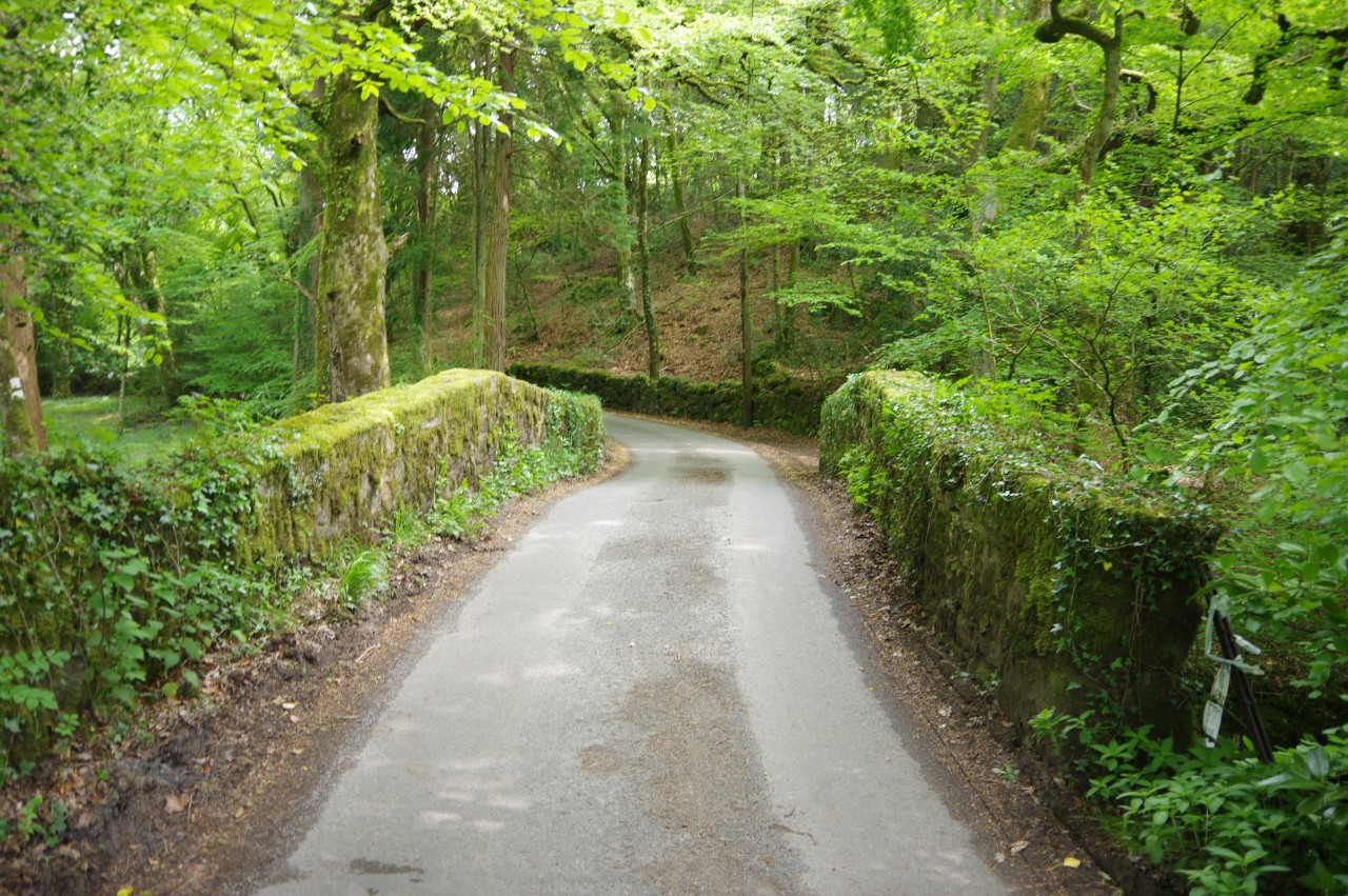
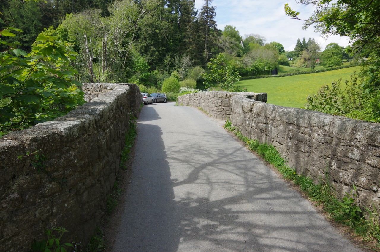
The Way follows the lane as it bends right and left then goes straight ahead at a junction. The lane becomes a narrow, tree-lined, and sometimes muddy sunken track after it passes the entrance of Northill Farm, taking about 700 metres to reach the next tarmac lane. Ahead, this lane soon crosses the moss-covered Leigh Bridge (picture 28), where the North and South Teign Rivers meet.
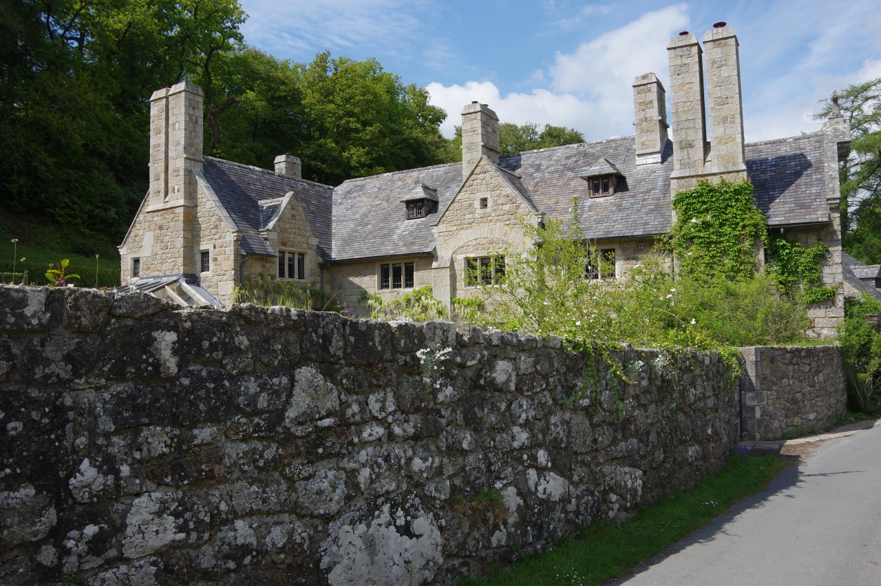
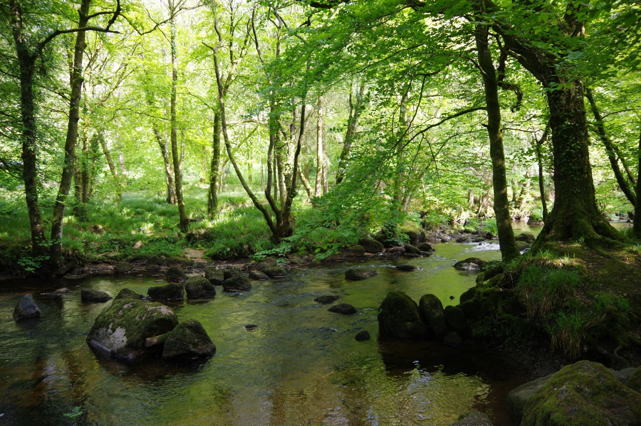
The combined River Teign (picture 29) winds its way through woods to the left of the lane, which has almost as many twists and turns as the river. After about 500 metres, the shady lane passes Holystreet Manor, which has an impressive number of chimneys (picture 30). About as far again, the lane reaches a crossroads just beyond a large and rather noisy complex of dog kennels.
One could leave the Two Moors Way here, continuing straight through the junction and onward into the small town of Chagford, but I knew that there is a second opportunity to do so about one and a half kilometres further along the Two Moors Way. Turning left I crossed the three-arched late-medieval Chagford Bridge (picture 31) then turned right through a gate to join a path beside the River Teign, following the course of the river fairly closely alongside a series of farmers' fields (picture 32).
Eventually, after crossing a footbridge over a small side-stream, the path is forced away from the river, following a tall hedge until a signpost points through a gap and across one final field to return to the riverbank by Rushford Bridge (picture 33), which is of similar age and style to Chagford Bridge.
This was the second point to leave the Two Moors Way and walk into Chagford, a diversion of about 900 metres each way. Over the bridge, the lane soon merges into the B3206, which runs right into the centre of the town, bearing several different street names along the way. The last stretch is North Street, where an old granite water trough, known as The Fountain, was provided in 1889 for animals to drink from (picture 34).
The B3206 ends at The Square, where pubs and shops surround the octagonal stone Market House of 1862 (picture 35), which now houses what must be one of England's most architecturally interesting public conveniences.
Chagford is a small market town of around 1,500 people, with a history stretching back as much as 4,000 years. In the middle-ages, Chagford grew prosperous on the profits of local wool and tin-mining industries and 1305 it became a stannary town, where tin was brought to be tested for purity, taxed and traded.
After topping up my supplies at the little supermarket on The Square and wandering up and down the High Street, I was ready to move on and retraced my steps to rejoin the Two Moors Way on the far side of Rushford Bridge.
The lane heads away from the bridge and the River Teign, the banks on either side of the tarmac rich with a variety of colourful wildflowers until the lane passes the Chagford Swimming Pool. Just beyond the pool, the Way turns right into Rushford Mill Farm, crossing the farmyard to pass through a metal gate. Beside the tree-lined River Teign once more, a path of trampled grass heads across a meadow that was carpeted with tiny yellow flowers (picture 36).
On the far side of the large meadow, the Way goes through a gate, continuing to follow the meandering River Teign along the edge of a large sheep pasture then into a shady wood that straddles the river (picture 37). The path emerges from the trees to cross the A382 beside Dogmarsh Bridge and goes through a gate into the National Trust's Castle Drogo Estate.
The Two Moors Way skirts two more large riverside meadows, also with an abundant supply of the same little yellow flowers (picture 38), eventually heading through a gate at the end of the steep-sided and heavily-wooded Teign Gorge. The Way leaves the bank of the River Teign here, climbing an eroded stretch of path to join a much nicer track along the edge of the woods.
About six hundred metres from the river, the Way turns sharply right and begins to climb the Hunter's Path. At the top of the climb, the Hunter's Path turns left at a signpost, but a short detour to the right goes to Hunter's Tor, which offers fine views over the rolling green farmland across the Teign (picture 39) and along the winding Teign Gorge (picture 40).
The Hunter's Path runs high above the River Teign for a little more than a kilometre, sticking to the contours about two-thirds of the way up the side of the gorge (picture 41). Castle Drogo remained hidden from view on the ridgetop above until I was part of the way around the first bend in the gorge, by which time my view of the castle was hampered by the sun being right behind it.
Castle Drogo is a grand country house with extensive gardens, built of Dartmoor granite on the ridge overlooking the Teign Gorge by retail magnate Sir Julius Drewe and billed as the last castle built in England. Begun in 1911, construction dragged on for almost two decades, hamstrung in part by the First World War, from which the majority of Drewe's workers never returned. The property was given to the National Trust in 1974 — the Trust's first twentieth-century building — and is open to the public.
At the next signpost, the Two Moors Way parts company with the Hunter's Path, turning up some wooden steps to a rickety wooden gate at the edge of a large pasture. After climbing up the left edge to crest the ridge, the village of Drewsteignton, my destination for the day, comes into view straight ahead with its tall church tower and thatch-roofed cottages (picture 42). Beyond the village was a hazy view off the northern edge of Dartmoor into the lower-lying farmland of mid-Devon, where I would be walking the following day.
The Way heads down the left edge of the field, through the edge of Rectory Wood (picture 43) and up a stony track to reach a lane on the edge of Drewsteignton. Heading to the right and then taking the first left leads to The Square, with the 15th-century Holy Trinity Church at the far end and the 17th-century thatched Drewe Arms pub to its left (picture 44). The pub was renamed after Sir Julius Drewe of Castle Drogo and once boasted the longest-serving landlady in England, who retired in 1994 after notching up an extraordinary 75 years behind the bar.
I had covered 24.4 kilometres of the Two Moors Way for the day (excluding my detour into Chagford), but I wasn't quite finished walking. After calling in at the pub for dinner and a pint, I headed off along quiet sunken lanes to the Barley Meadow Touring Park, just over two kilometres walk north-east of Drewsteignton, arriving just in time to pitch my tent in the last rays of the setting sun at the end of a very long but satisfying final day on Dartmoor.
The Barley Meadow is a pleasant and well-maintained caravan and camping park with sheltered grassy pitches for campers and good facilities, including a small games room. For walkers arriving much earlier than myself, there is also a farm shop and cafe just around the corner at Higher Fingle Farm.


