TWO MOORS WAY
Stage 8: Simonsbath to Lynmouth
Saturday, May 25, 2019
The Exmoor Forest Inn (picture 1) is a lovely place to stay and very welcoming of walkers. It was tempting to linger and it was after ten o'clock before I collected my packed lunch from the bar and headed out into the cold, overcast morning for my last day on the Two Moors Way. I had been hoping for a sunny day to finish my walk, but for now at least it wasn't to be.
From the front of the pub I turned left along the B3223, soon reaching a signpost pointing up a short lane to the Ashcombe Carpark and showing ten more miles (16km) to Lynmouth. On the far side of the carpark another signpost indicates a footpath that climbs steadily through Ashcombe Plantation (picture 2), which to my untrained eye looks like natural woodland rather than a plantation.
The path emerges from the north-east corner of the plantation but immediately turns sharp left to head back into it, descending to cross an almost-dry streambed before climbing up to a wooden gate where the Two Moors Way leaves the plantation for good. The path continues to climb, running along the lip of Ashcombe Bottom (picture 3) for a while before going through a gate and bearing away to skirt the top of the combe and crossing the little moorland stream that feeds it (picture 4).
From the little footbridge, the Way now ascends gently across boggy moorland that is covered in tussocks of the same white cottongrass that I had seen so much of on southern Dartmoor on the first day of the Two Moors Way. As the land begins to level out, a gate in a grass-covered stone hedgebank comes into view.
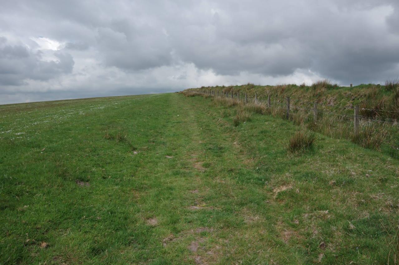
Through the gate, the Way turns left to follow a wire fence alongside the hedgebank, heading along the ridge of Great Ashcombe (picture 5), which has extensive views to the south and southwest. Nearing the end of the fence, the Way bears right to a gate by the B3223, turning right along the road for 250 metres to reach a small carpark at Prayway Head.
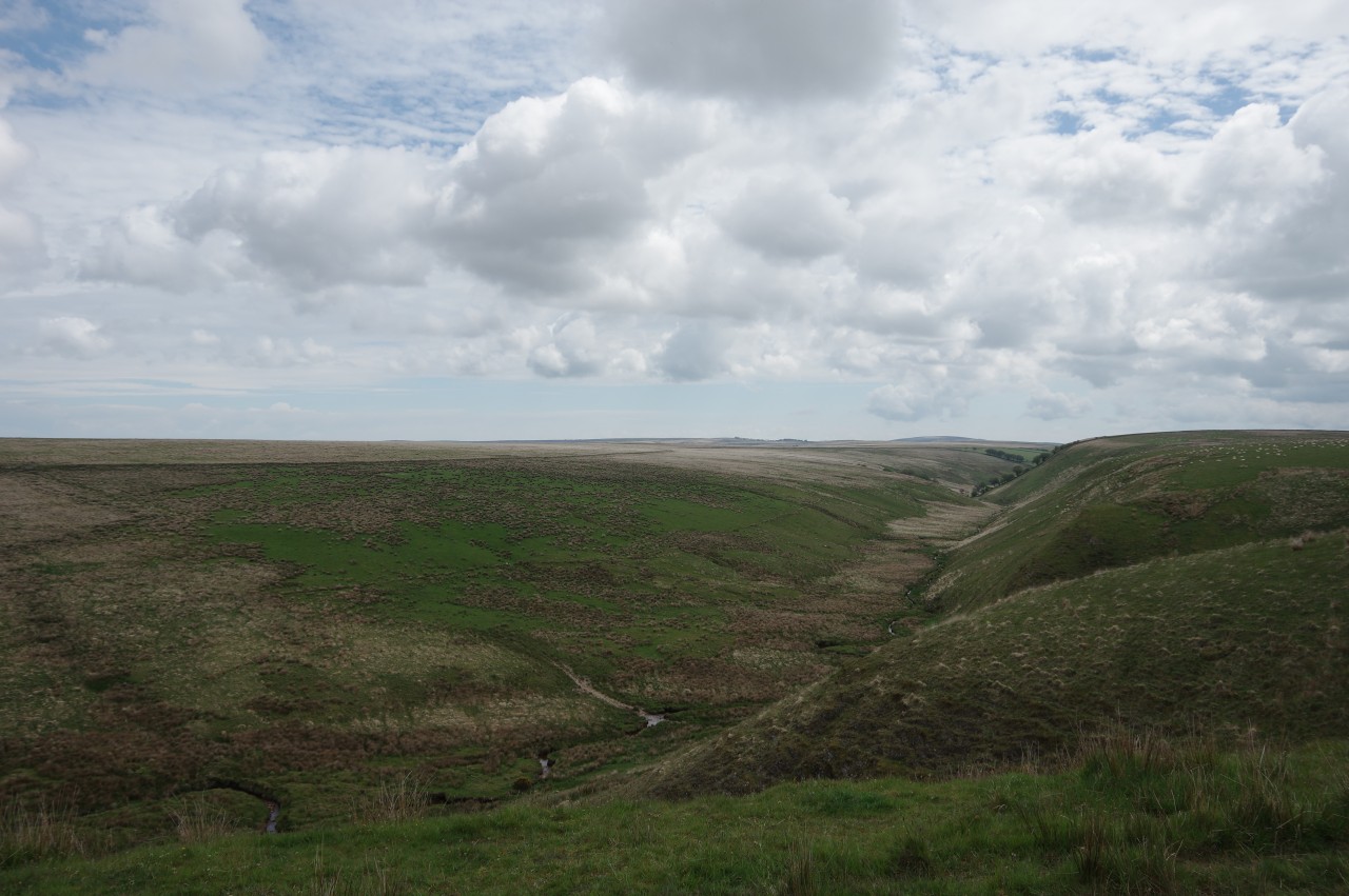
Here I found a dozen people sitting on the grass and several more lounging on deckchairs, gazing down into the marshy valley of the infant River Exe (picture 7). An elderly lady on one of the deckchairs responded to my quizzical expression by explaining that families of red deer can often be seen roaming in the valley.
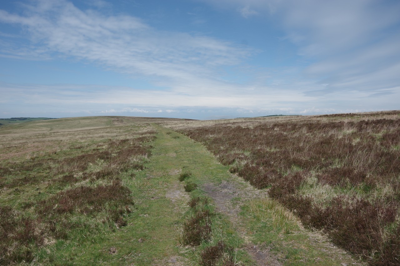
No deer had been spotted so far on this day (though I did see some when I passed this way again on a sunny afternoon a few days later), so I decided to press on. From a gate by the carpark, a worn track ascends to another grass-covered hedgebank, which is followed along the top side of a large meadow on Dure Down (picture 8). I was uncertain about which side of the hedgebank the Two Moors Way follows, as the OS map shows it on the other side, but there was no corresponding signage. My choice seemed to be vindicated when I reached the corner of the meadow, where there are gates on either side of a little enclosure containing a small concrete reservoir built into the end of the hedgebank. A fingerpost here did nothing to resolve my question, pointing noncommittally back along the top of the hedgebank.
Another finger points half-right up the rounded, pathless hump of Dure Down, but seems to point too far to the right. In the absence of any visible path on the ground, I simply followed the line shown on the OS map, heading west-north-west (and straight into the teeth of a very chill wind) to pass just to the left of the 480-metre summit of Dure Down, the highest part of the Exmoor section of the Two Moors Way.
Dure Down is part of the much larger plateau of The Chains, an expanse of high moorland covering much of the territory between the settlements of Simonsbath in the south, Lynton and Lynmouth in the north, and Challacombe in the west. Several rivers rise on The Chains, including the Barle, Exe and West Lyn, all of which are encountered by the Two Moors Way.
Near the summit of Dure Down, the short grass gives way to a sea of tussocks, adding an extra little degree of difficulty to navigating across the moorland. I did manage to stay on course, more or less, and eventually I arrived at Exe Head, a basin in the otherwise rather featureless moorland (picture 9). Through a wooden gate, a recess contains the source of the River Exe (picture 10).
Naturally enough, the extension of the Exe Valley Way, which follows the Two Moors Way from Witheridge, ends (or starts) here. The Two Moors Way also makes a rendezvous with two other long-distance paths at Exe Head. The Macmillan Way West and the Tarka Trail both arrive from the west, with the former continuing eastward, while the latter joins the Two Moors Way for the rest of the way to Lynmouth.
With signposts now showing the otter's paw logo of the Tarka Trail as well as the MW of the Two Moors Way, the two trails head north from Exe Head, soon gaining some shelter from the wind as the path begins to descend into the Chains Valley above a tiny stream (picture 12).
The stony bridleway descends to a ford where the little stream joins Hoar Oak Water (picture 13), which flows out of Long Chains Combe to the left. After stopping to chat with a couple who were picnicking by the ford, I continued along the rough path, which runs down the left side of the valley for the next kilometre, keeping a short distance above the winding stream, where a couple of small herds of cattle had come down to drink.
When the path comes up to a wire fence, the Two Moors Way turns sharp right to ford Hoar Oak Water one more time then climbs briefly to turn left through a gate onto the Cheriton Ridge (picture 14) and in so doing passes from Somerset into Devon.
The Way runs parallel to Hoar Oak Water for a little more than five hundred metres before angling away and climbing a little, giving a good view down the valley (picture 15) before the path settles on a course along the top of the ridge (picture 16), the water now hidden from view.
After about two kilometres the little farming community of Cheriton comes into view, still another kilometre ahead off the end of the ridge (picture 17). Eventually the grassy path becomes a rutted track that merges into an enclosed farm track at the end of the open grassland. The track leads down to Cheriton Road and the Way turns left to follow the road through Scoresdown Farm. Beyond the farm buildings, the road degenerates into a downhill farm track, descending back into the valley of Hoar Oak Water (picture 18).
As I walked further down into the wooded valley, the sun emerged from behind the clouds. Perhaps it was going to be a nice, bright afternoon after all.
On the floor of the valley, the track passes the secluded Old Scoresdown Cottage (picture 19) and crosses Smallcombe Bridge before turning right at one of the distinctive National Trust omega signs to enter the Trust's Combe Park (picture 20).
The path through the woods runs along the left bank of Hoar Oak Water for a while (picture 21) before being directed around the high side of Combe Park House, of which there is no view until the path emerges on the far side (picture 22). The path then descends to a National Trust carpark and follows the driveway out past the attractive Combe Park Lodge (picture 23) to the junction of the A39 and B3223, next to Hillsford Bridge.
Uphill to the left, at a hairpin bend in the A39, a shady track climbs northward through woods on the steep side of the valley above Hoar Oak Water (picture 24). The woods belong to the National Trust's Watersmeet estate, which I was already somewhat familiar with, having walked through the valley the previous Autumn on the Coleridge Way.
At the top of the climb, the track emerges into the light in the Myrtleberry South Iron-Age Enclosure (picture 25), one of two ancient settlements situated high above Watersmeet, where Hoar Oak Water meets the East Lyn River in front of Watersmeet House. That is all out of sight in the woods below the enclosure, though there is a steep footpath descending from the enclosure to Watersmeet House for those so inclined. I was already planning to do a circular walk from Lynmouth to Watersmeet the following day, so instead I contented myself with admiring the view across the valley and South Hill Common toward Butter Hill and the hamlet of Countisbury (picture 26), which lie on the route of the South West Coast Path.
Just downstream from Watersmeet House, the East Lyn River turns westward through the deep valley of Myrtleberry Cleave. The Two Moors Way follows suit, running just below the top of the steep-sided valley, some 150 metres above the East Lyn River, heading through the top edge of the woods that line most of the valley before a clearing offers a splendid view down the rest of the valley to the end of the trail on Lynmouth's seafront (picture 28), and perhaps offers a little extra motivation as well.
One would be forgiven for thinking that it's all downhill from here, but in fact the next stretch of the path has quite a few ups and downs as its zig-zags across Lady Combe to Summerhouse Hill. The effort is justly rewarded with a panoramic view out over the Bristol Channel (picture 29).
At a signpost about 500 metres after regaining the rim of the valley, the Way leaves the main path and heads down a grassy slope into the wooded Lyn Cleave (picture 30), where it really is almost all downhill as a rough path winds its way down the side of the valley to the edge of Lynmouth.
On reaching the back wall of the Glen Lyn Gorge tourist attraction, an alleyway descends amongst tightly-packed cottages to the side of the A39, opposite Lynmouth's parish church of St John the Baptist (picture 31), built in 1870.
Just down the hill to the left, the A39 goes around the end of the village carpark to a bridge over a deep culvert where the East and West Lyn Rivers meet (picture 32). The river was contained this way after a catastrophic flood devastated Lynmouth in 1952.
Rather than follow the A39 over the East Lyn River, the final stretch of the Two Moors Way crosses the adjacent bridge over the West Lyn River and follows Riverside Road along the left bank and around the back of Lynmouth's little harbour (picture 33) to the Esplanade. In front of the Lynmouth National Park Centre, a little alcove in the sea wall houses The Walker (picture 34), which marks the official end of the Two Moors Way and the Devon Coast to Coast route, 153 kilometres from Ivybridge and 180 kilometres from Wembury.
The final 16.2 kilometres from Simonsbath had felt longer than that, particularly the last stretch from Watersmeet. It's weird, but I often find that the last three or four kilometres of a trail seem to take forever.
As is my custom, I headed for the nearest pub, the thatched 14th-century Rising Sun Inn (picture 35) to mark my achievement with a celebratory ale before riding the famous Lynton and Lynmouth Cliff Railway (picture 36) up to Lynmouth's larger neighbour, where I was staying for the next few nights.


