THE NORTH DOWNS WAY
Stage 8: Rochester to Hollingbourne
Monday, August 2nd 2010
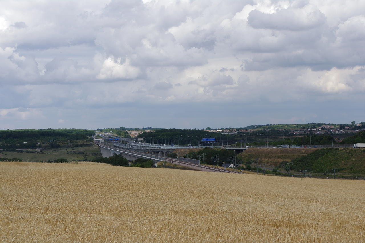
(1) Looking back to the Medway Bridges

(2) Medway Valley

(3) Wouldham Common

(4) Robin Hood Pub, Blue Bell Hill
Starting out from Rochester Station, I made my way back through the town to the intersection where the North Downs Way descends from the Medway Bridge and continued under the M2 motorway before turning left into Nashenden Farm Road.
The trail follows the road between the M2 and the channel tunnel rail line, turning right along a track between the farm buildings, crossing a bridge over the rail line and climbing along a straight track to the right of a line of trees that divides two fields. From here there were good views back to the Medway Bridges (picture 1) and forward along the Medway Valley (picture 2).
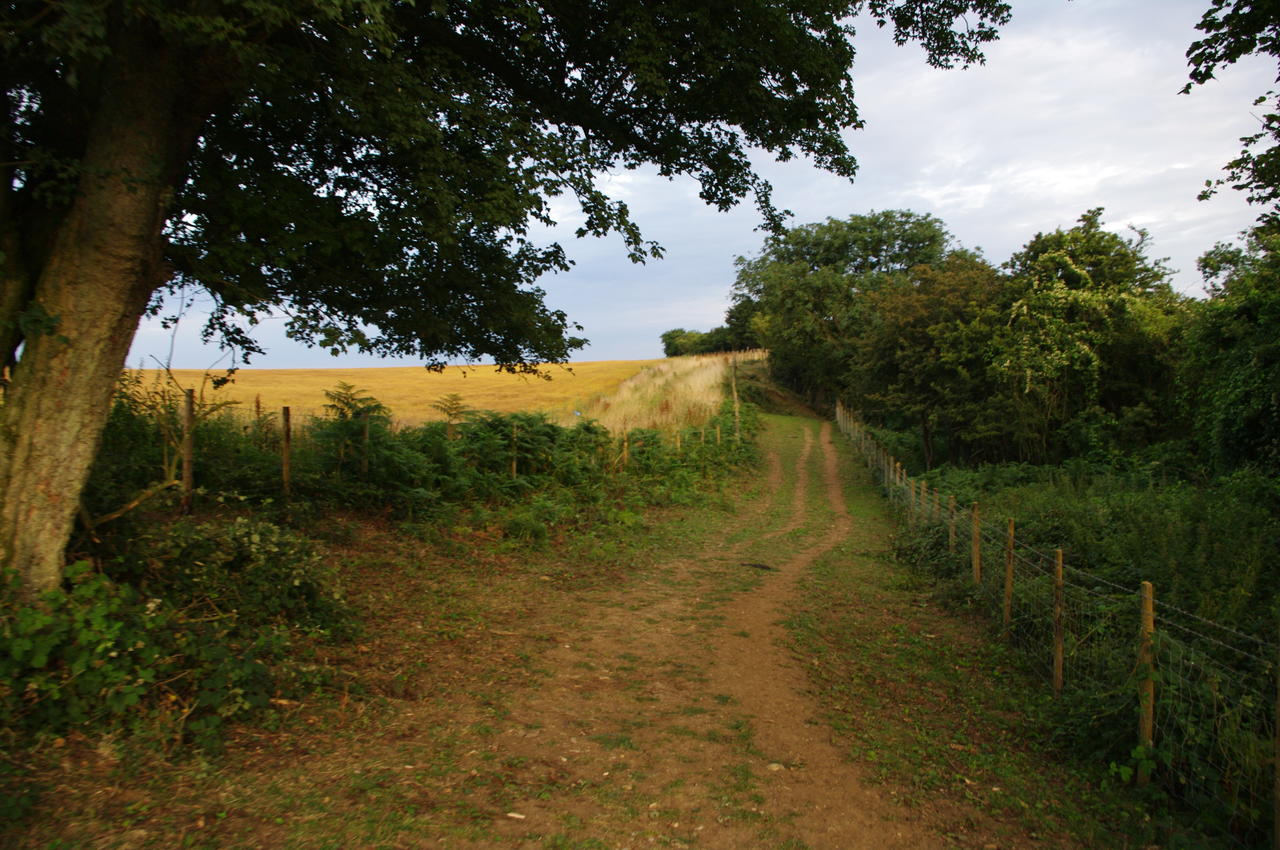
The track continues to climb gently with Shoulder of Mutton Wood on the left before the woods close in on the right too and the track enters an area signposted as Wouldham Common (picture 3).
Eventually the stony track becomes a sealed road and continues straight ahead. After another 15 minutes walking, the road passes a street on the left, about 50 metres along which is the Robin Hood pub (picture 4), where I stopped for lunch and a pint.

(5) View from Blue Bell HIll

(6) Path beside A229

(7) Kit's Coty House
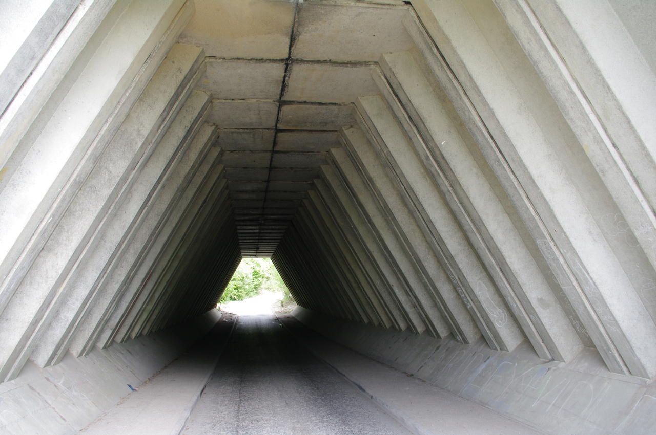
(8) Tunnel under A229
Leaving the pub, the North Downs Way continues on the road across Blue Bell Hill for some distance before leaving the road to the right and following a track parallel to the road with magnificent views of the Medway Valley (picture 5).
The path crosses through the Blue Bell Hill picnic site, which has a large stone memorial to the victims of a 1998 Air Ambulance Helicopter crash, before entering the trees below the picnic site and descending from Blue Bell Hill along a path that parallels the noisy A229 road (picture 6).
The route joins the A229 briefly, ignoring a footbridge over the road before heading down some steps to the right and following a footpath just inside the tree line. Through one of the gaps in the trees, one can see Kit's Coty House (picture 7), thought to be the remains of the entrance to an ancient longbarrow.
Rejoining the tree-lined path, the route continues downhill, turning left when it crosses a road intersection and following another tree-lined path to a strangely-shaped underpass (picture 8) which it uses to cross the A229, emerging beside a petrol station on the other side.
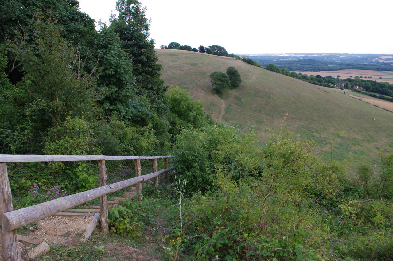
From here the route follows a gravel track across another bridge over the channel tunnel rail line and into the woods of the Boxley Warren Nature Reserve. In the woods, the path climbs steeply before levelling out, curving to the right and passing a milestone showing 79 miles (127km) covered since Farnham -- meaning that I was now past the halfway point of the North Downs Way.
(9) Stone stile in Boxley Warren

(10) Large field above Boxley Warren

(11) Fenced path near Harp Farm
(12) Jade's Crossing
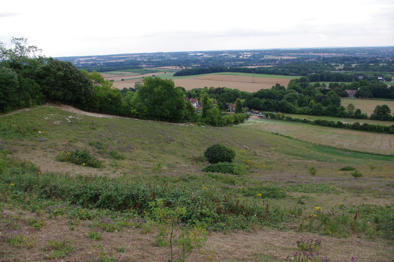
A little further on, the path crosses a stone stile (picture 9) into a large field. The path then follows the edge of the field (picture 10) until shortly after it passes by an electricity pylon, where it re-enters the woods. After almost half an hour in the woods, the path emerges briefly at Harp Farm before entering another section of woods via a fenced path and stile (picture 11).
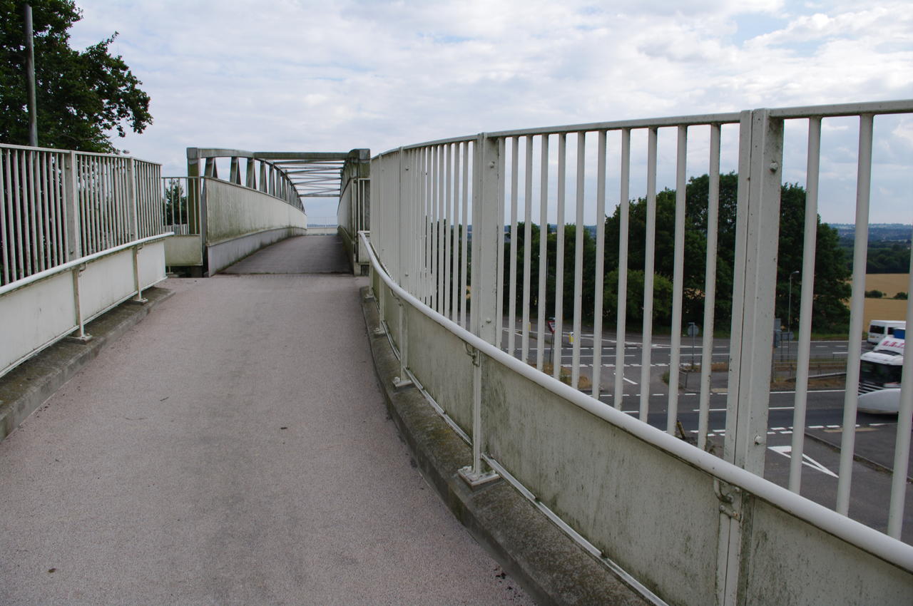
After another half hour, the path joins a byway (signposted Pilgrims Way), which it follows to a footbridge over the A249 (picture 12). The bridge is known as Jade's Crossing, and a plaque explains that the bridge was built in memory of a schoolgirl who was killed while crossing the busy road here.

(13) The Cock Horse Inn, Detling

(14) Path climbs above Detling

(15) View back to Detling
(16) Steep steps near Thurnham
Beyond the footbridge, the North Downs Way follows the road to the left into the town of Detling, where I stopped for a refreshing pint at the Cock Horse Inn (picture 13), "a pub with atmosphere not smoke". The main road curves around to the right past the inn, but the North Downs Way almost immediately turns off to the left, continuing to follow Pilgrim's Way as far as the Detling Cricket Club, after which the path turns left off the road through a gap in the hedge and climbs along the edge of a large wheat field (picture 14) back towards the ridge of the North Downs. The path doesn't quite climb all the way to the ridge, but at the point where it levels out there are good views back across the wheat field to Detling and beyond (picture 15). The path continues a little way below the ridge line, at one point descending a long flight of steep wooden steps, only to immediately climb just as steeply past two oaks in the next field (picture 16).
(17) Descending towards Thurnham
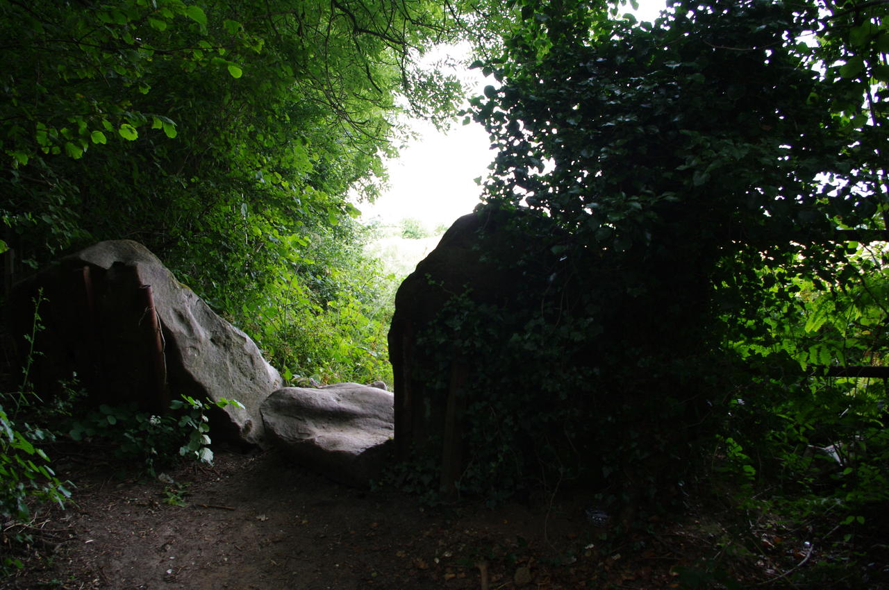
(18) Unmarked gate

(19) View near Coldblow Farm
(20) Path follows ridgeline
From there, the path follows the field edge (picture 17) before descending again and joining a road which it follows in a semi-cricle around a hill near the village of Thurnham. On top of the hill sit the remains of Thurnham Castle, though I didn't visit them as I wanted to be sure of getting to Hollingbourne well before sunset. As I approached Thurnham it started to rain lightly, though in the time it took me to put on my wet weather gear, the rain stopped.
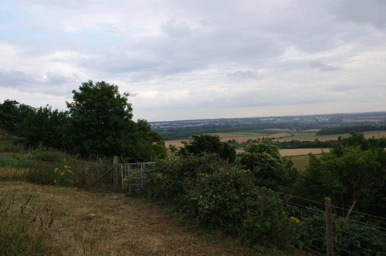
At the other side of the semi-circle, the path leaves the road and passes through a metal kissing gate, signposted for Thurnham Castle and White Horse Wood Country Park. It then climbs through woodland until it arrives at a field where a fingerpost directs you to turn sharply to the right and follow a wire fence downhill along the field edge. In the corner of the field, the well-worn path turns left uphill again, but the correct route of the North Downs Way actually goes to the right through an unmarked kissing gate (picture 18) and into another stretch of woodland. There really should be a fingerpost or waymarker here, as it would be very easy to just keep following the obvious well-worn path back up the hill.
The path climbs through the woods, before it reaches another flight of steep downhill steps to a gate that leads onto a steep field (picture 19). The trail descends to the bottom of the field, where it turns left and joins a byway that climbs back to the ridgeline that you can see stretching along the left of picture 19.
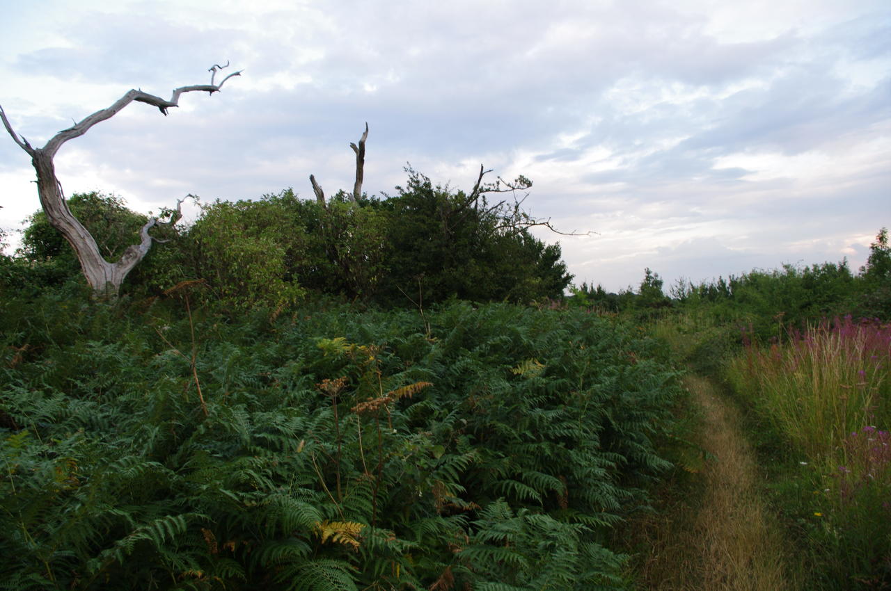
On the ridge, the path passes through some low scrub (picture 20) and is in some places quite overgrown. The path then crosses the upper side of several steeply sloping fields where cattle were grazing, including a rather unfriendly looking bull that made me wonder about the wisdom of mixing walkers and livestock on popular walking trails.
(21) Track between fields

(22) Farmer plowing field near Hollingbourne

(23) The Street, Hollingbourne

(24) Parish Church, Hollingbourne
The path then follows a grassy track (picture 21) that leads to another series of large fields. There are some good views down to the village of Hollingbourne and the surrounding farms, where I could see several farmers ploughing their fields in the late afternoon sun (picture 22).
Where the well-worn path curves to the left along the ridge past Hollingbourne a marker post directs the North Downs Way downhill towards the tower of the parish church which can be seen rising among the trees in the distance. The path passes though some trees, along a field edge and then through a short section of woodland before turning right onto a road that quickly leads into the village.
Reaching the village, the North Downs Way turns to the left beside the wonderfully-named Dirty Habit pub (picture 23). Here I left the trail for the day, with another 22.8 kilometres of the Way completed, and continued down the main street to the church (picture 24), where a footpath leads through the churchyard and across a field behind it towards the local school. Turning along the road to the right at the school, under the railway bridge and then taking the next road to the right leads to Hollingbourne's rather derelict-looking railway station.