OFFA'S DYKE PATH NATIONAL TRAIL
Stage 6: Kington to Knighton
Sunday, June 9, 2019
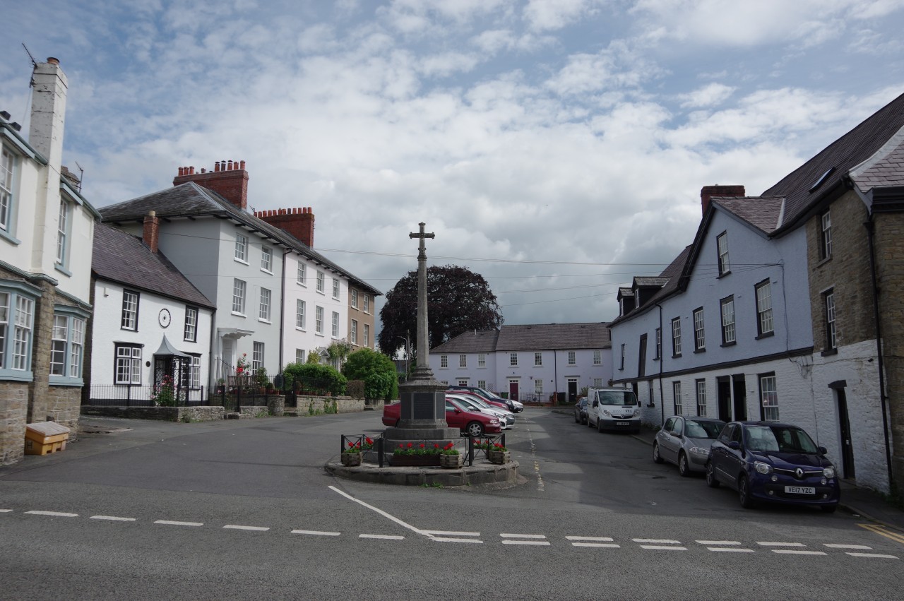
(1) The Square, Kington
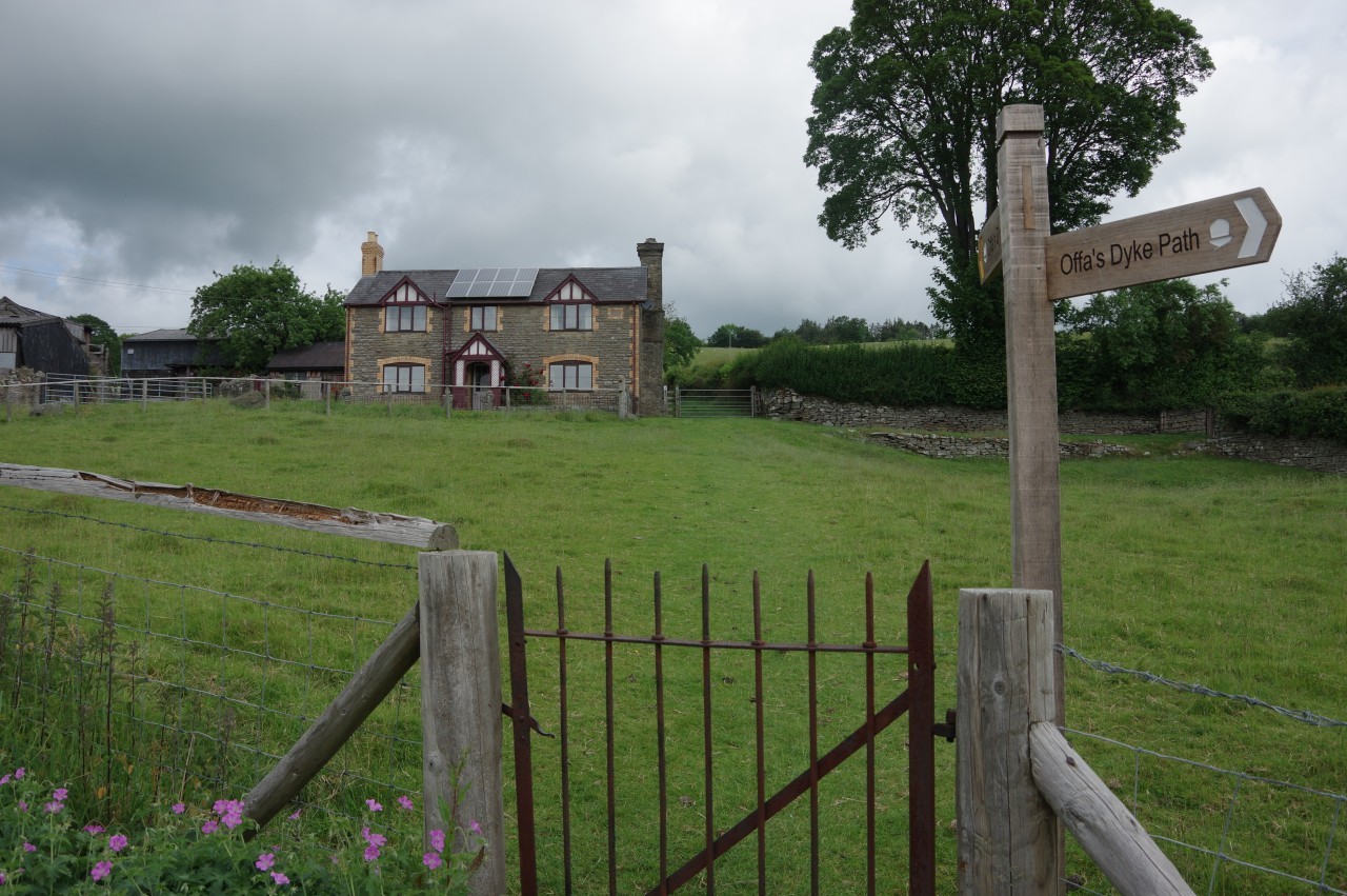
(2) Rhue Ville
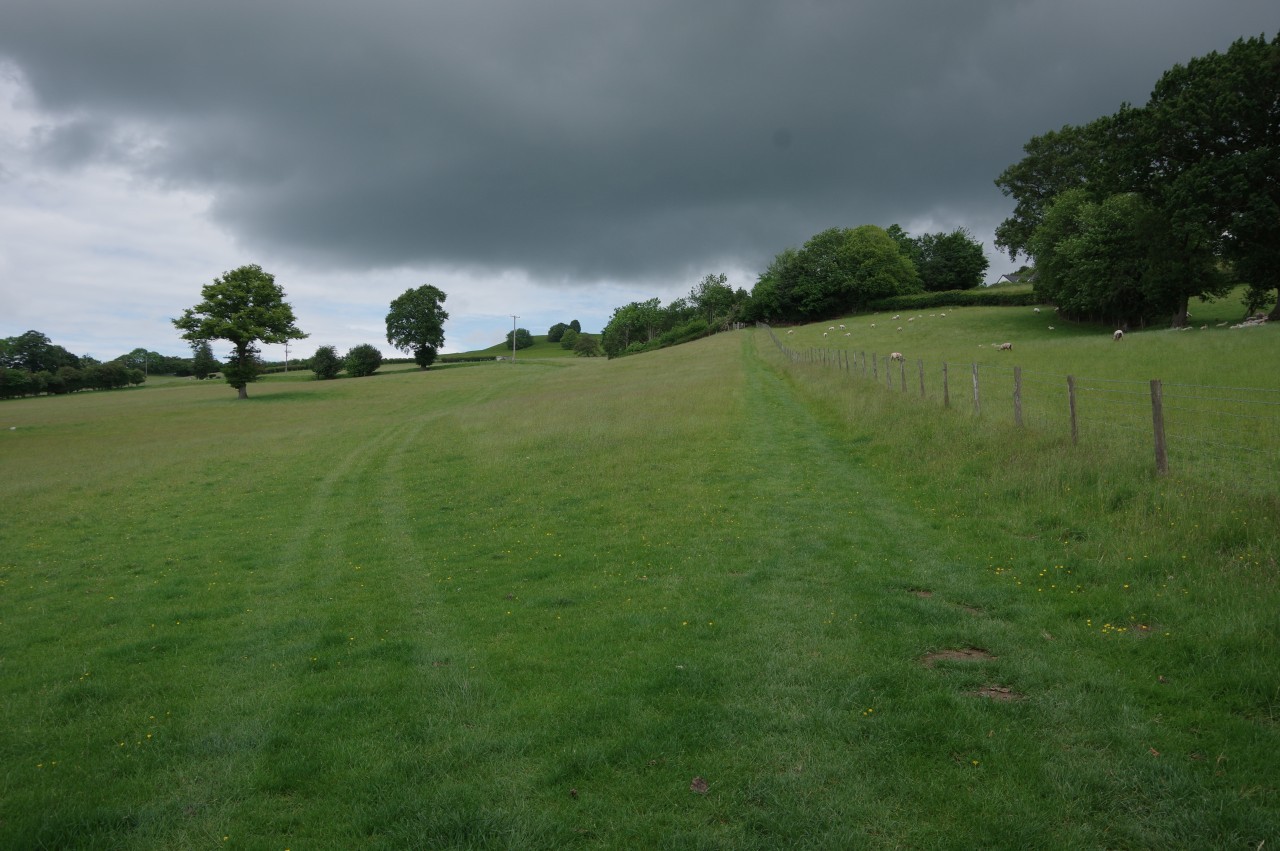
(3) Meadow below Bradnor Green
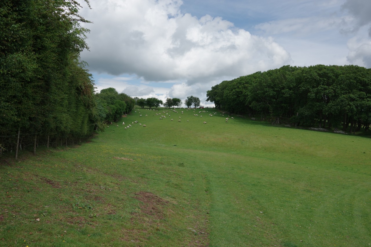
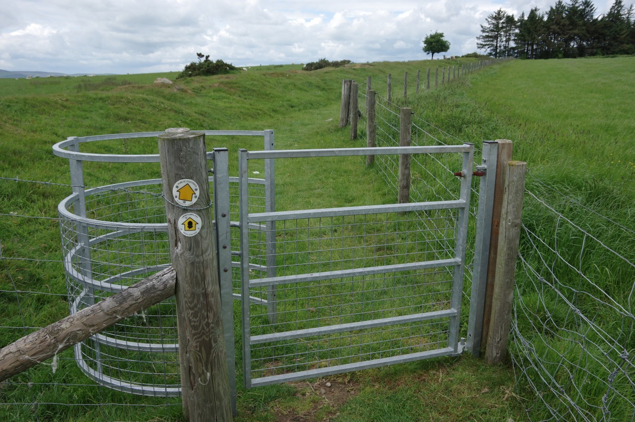
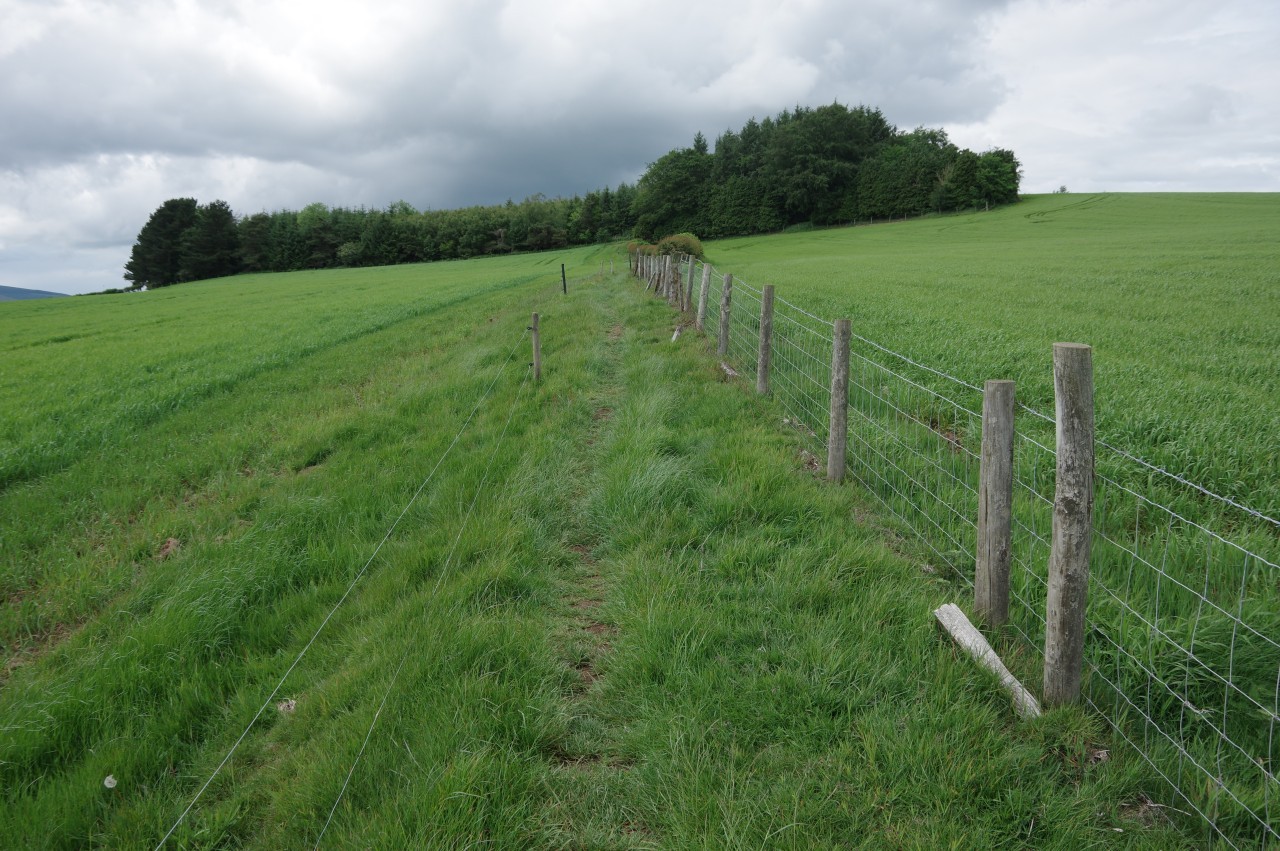
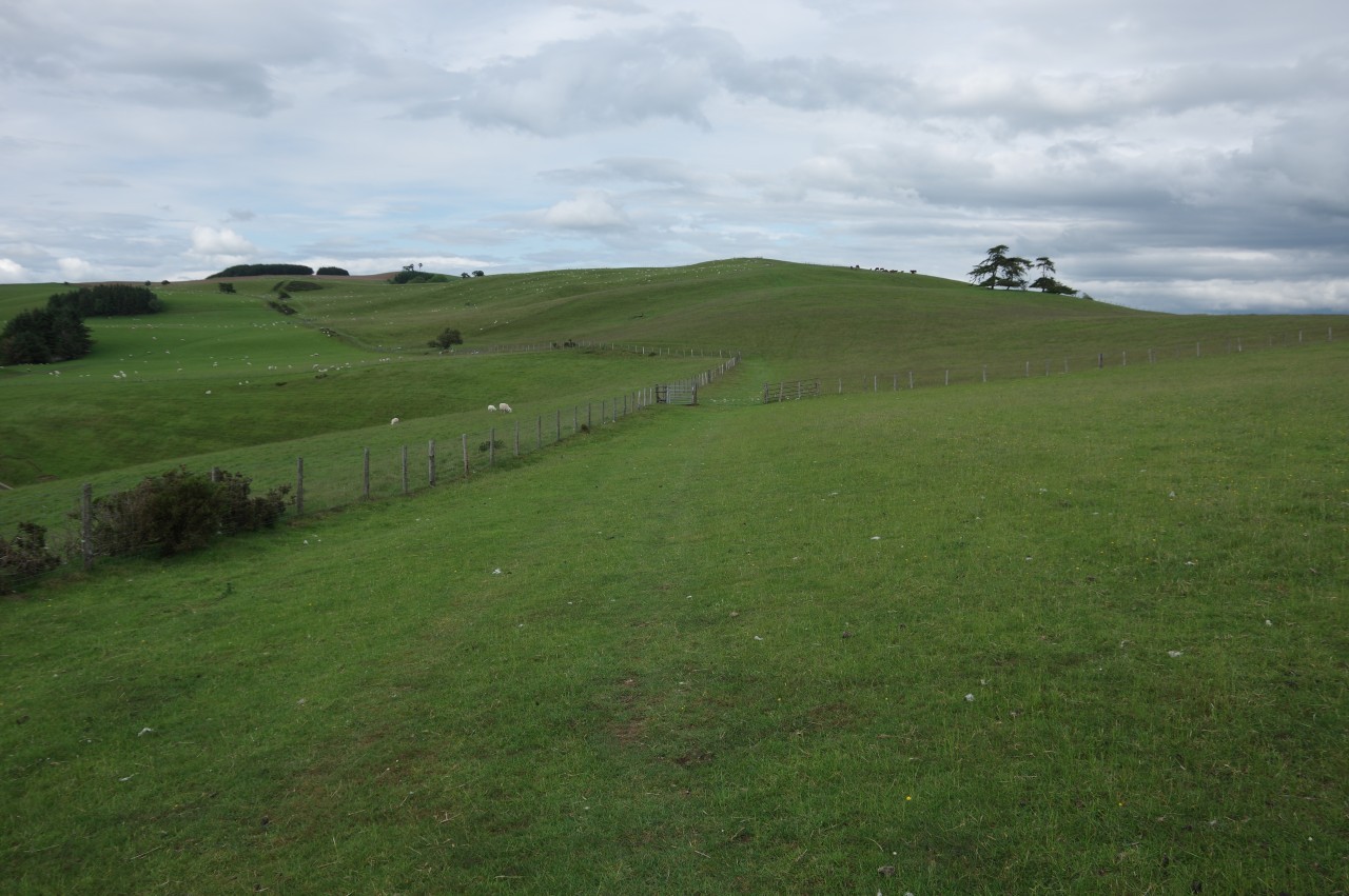
(4) Pasture by Quarry House
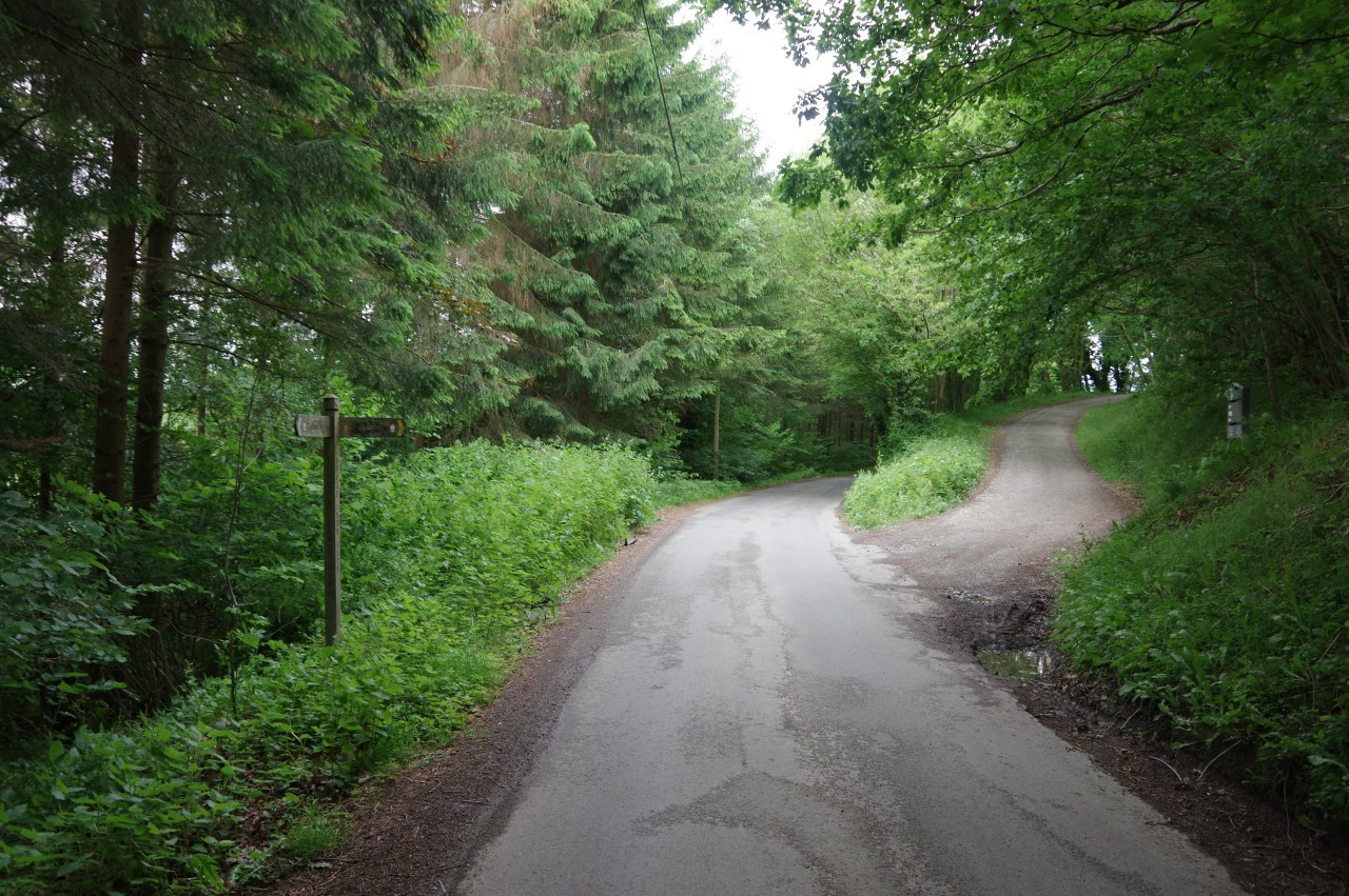
I made a fairly late start to this stage of Offa's Dyke Path, having spent some time chatting with the landlord at the Oxford Arms (a fellow sports fanatic) and walking a circuit of the town's surviving Tudor buildings. It was approaching eleven o'clock by the time I returned to The Square (picture 1) to start my walk.
Offa's Dyke Path goes through The Square, turning left past the St John Community Centre then right along Doctors Lane. Ahead through a crossroads, the Path continues to the far end of Crooked Well, where a footbridge crosses the culverted Back Brook to the side of the busy A44.
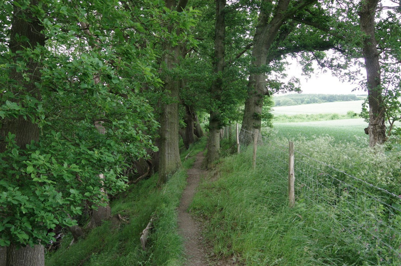
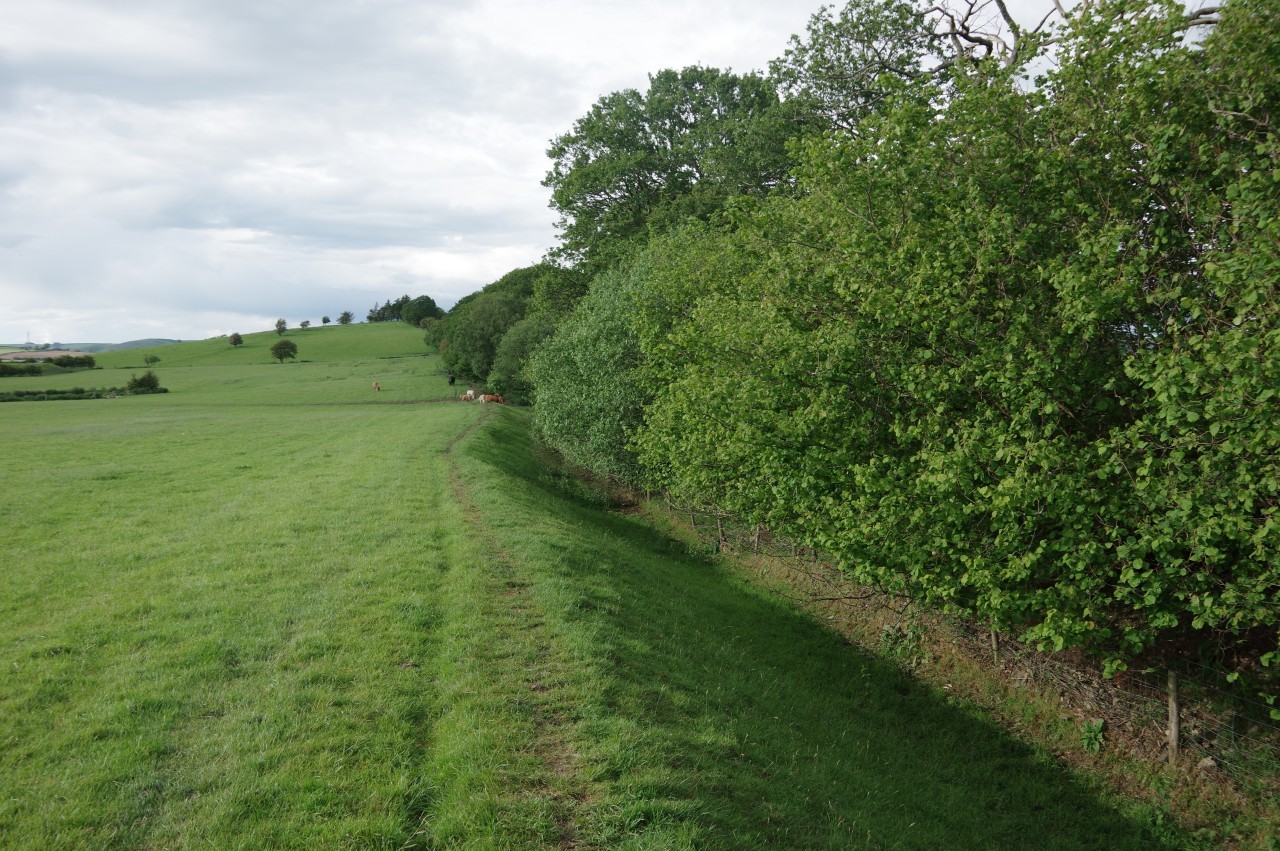
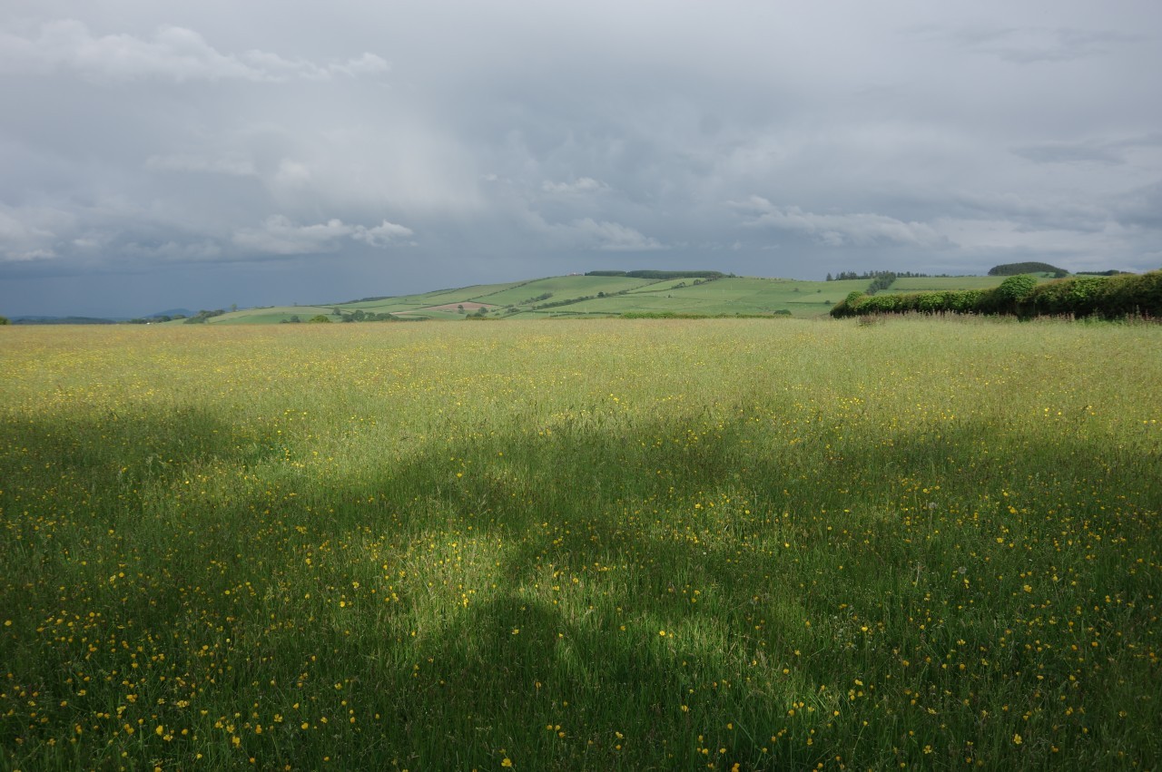
A quiet lane opposite climbs to Rhue Ville (picture 2), where the Path crosses a small field to join a hedge-lined track that climbs from the right-hand side of the farmhouse into a large meadow. Here one must ignore the obvious path of trampled grass that bears left (picture 3) and instead stay by the fence on the right and climb to a gate in the corner of the meadow. By now some rather dark clouds were drifting overhead, so I stopped to move my waterproofs to the top of my backpack, just in case. As it turned out, I wouldn't get rained on today, though looking back down the hill, I could see that it was raining in the distance on the other side of Kington.
From the gate, an enclosed path runs through dense foliage before crossing a clearing between houses in the hamlet of Bradnor Green. Continuing to ascend a bracken-covered slope past a couple more houses, I soon found myself on the close-cropped turf of Kington Golf Club, angling slightly right to reach a junction of tarmacked tracks above the clubhouse.
Offa's Dyke Path is signposted along a short tarmac track over a cattle grid and into a pasture just above Quarry House (picture 4), which had a red public telephone box in its front yard. At the time of writing, the Ordnance Survey map incorrectly shows the ODP cutting across the corner of the next field to the left, but there is no way through there.

(5) Rushock Hill

(6) Rushock Hill
(7) Path beside Offa's Dyke

(8) Herrock Hill Common
The Path climbs to the top-right corner of the field, then continues along a wide grassy strip between a wire fence and a wood. When the fence turns away sharply, the line of trampled grass bears half-left across a meadow with short grass carpeted in tiny yellow and white wildflowers to a gate in a row of trees, then descends across a much rougher meadow (picture 5) to a stile, from which the path follows another wire fence across a wooded gully. Through a pair of gates at either end of yet another wire fence, the Path finally reaches the open access land on the southern face of Rushock Hill.
With no discernable path to follow across the heavily-grazed hillside, I aimed just left of a gnarled tree up ahead, continuing beyond it in much the same direction to find a kissing gate in a wire fence that divides the hillside into two pastures. Still keeping to roughly the same bearing, the Path climbs the hillside at about 45 degrees to the contour lines to reach a fingerpost and stile in a fence that runs along the spine of the hill (picture 6).
Beside the fence, for the first time in almost ninety kilometres, Offa's Dyke Path meets Offa's Dyke, last seen on the way up to The Kymin, which seemed like rather a long time ago. This section of the Dyke begins about six hundred metres over to the east, beyond which there are only scattered fragments of the earthwork through Herefordshire, well east of the trail.
The Path is signposted left (westward) here, but I was a little confused as to which side of the fence it is on. The Ordnance Survey map shows it over the fence, but there was no evidence of a path in the long grass there. I guessed that one is actually supposed to walk in the ditch beside the Dyke, and on reaching a kissing gate where a fence coming up the hill meets the one going along the ridge, I was proven right by a waymarker disc on the fencepost (picture 7). Two strikes for the Ordnance Survey so far today.
The Path now follows the Dyke gently uphill to the summit of Rushock Hill, by the end of a stand of tall conifers, an offshoot of Knill Garraway Wood, which covers most of the steep north-western face of the hill. The Dyke turns almost ninety degrees left on the summit, and the Path descends atop the Dyke to a gate, beyond which the earthwork has been worn down and is much harder to discern. Nevertheless, an obvious path continues to descend the hillside beside the Dyke, initially following a fence then passing under trees to reach another gate overlooking the col between Rushock Hill and Herrock Hill (picture 8). Taking the leftmost of two paths through the bracken, the Path descends to an information board that reveals this area as Herrock Hill Common, a 63-hectare haven for rare plants, mushrooms, butterflies and birds.
(9) View over Knill Court
(10) Outbuilding of Herrock Cottage

(11) Lower Harpton Farm
(12) Bridge over Riddings Brook
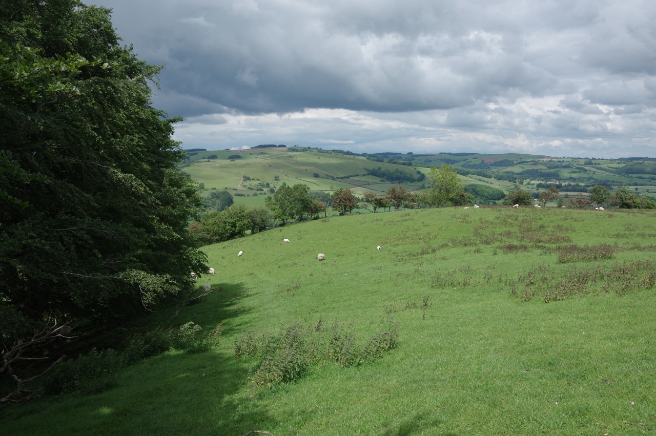
Offa's Dyke continues ahead to skirt around the western side of Herrock Hill, but Offa's Dyke Path takes a more direct route, turning right to climb over the eastern flank of the hill before beginning a long descent. For a time there is a good view past Knill Garraway Wood to the large country house of Knill Court, nestled in trees on the far side of a stream (picture 9), but the path soon descends into Croft Plantation and swings left as it passes a ramshackle stone and corrugated iron outbuilding of Herrock Cottage (picture 10).
Now descending on a broader farm track, the Path crosses Offa's Dyke at right angles before passing through Upper Harpton Farm on the way down to Lower Harpton Farm (picture 11). A gate beside the track allows the Path to cut across a small pasture and join a track past the large wooden barn and out to the B4362. Turning right along the vergeless road takes Offa's Dyke Path across Riddings Brook (picture 12), leaving Herefordshire for the final time and re-entering Powys. Up ahead is the wooded ridge of Burfa Bank, site of a large Iron Age hillfort.

(13) Ditchyeld Bridge
(14) Burfa Wood
(15) Path atop Offa's Dyke

(16) Burfa Farm and temporary harness racing course
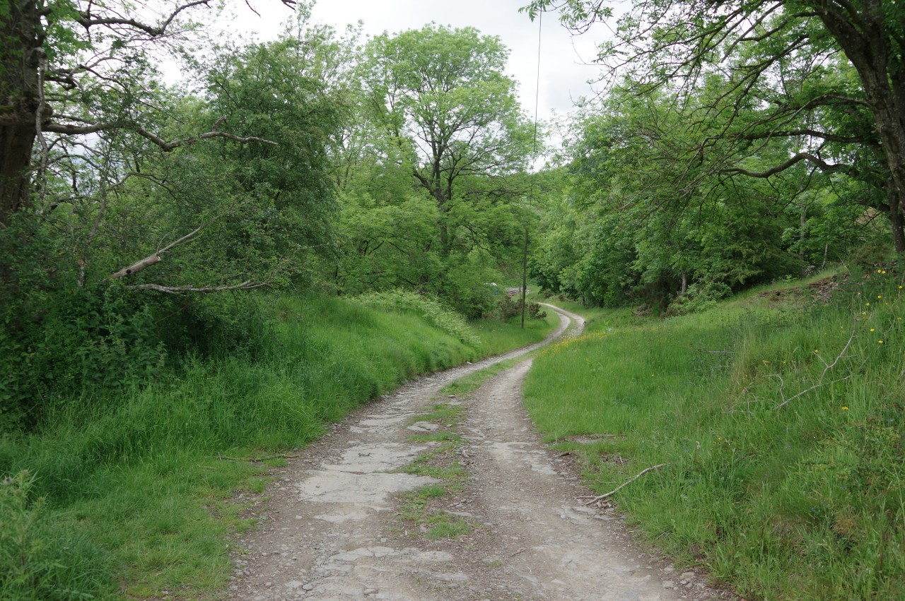
Offa's Dyke Path now snakes it's way between flat fields to the foot of Burfa Bank, eschewing the current road crossing of Hindwell Brook for the adjacent 17th-century Ditchyeld Bridge (picture 13). Now back on the line of the Dyke, though it isn't obvious, a lane heads left into Burfa Wood, but after little more than one hundred metres the Path peels off on a forestry track (picture 14) that skirts around the western end of Burfa Wood, passes the stone farm buildings of Old Burfa and continues past the end of Middler Wood to a lane.
A few steps to the left along the lane, some steps behind a gate climb onto a much more obvious stretch of Offa's Dyke (picture 15), with the Path running along the top of the bank with a series of crop fields on both sides. The Dyke itself has many trees growing out of it, none of which would have been here when it was constructed, so one must be careful not to trip over the many tree roots.
Over to the left, on Burfa Farm, one of the fields was being used as a temporary harness-racing track (picture 16), with about a hundred cars and fifty horse-floats in attendance. The dulcet tones of the tannoy announcer provided constant accompaniment for the next half hour of my walk. I'm pretty sure that he didn't pause to draw breath the whole time I was within earshot.
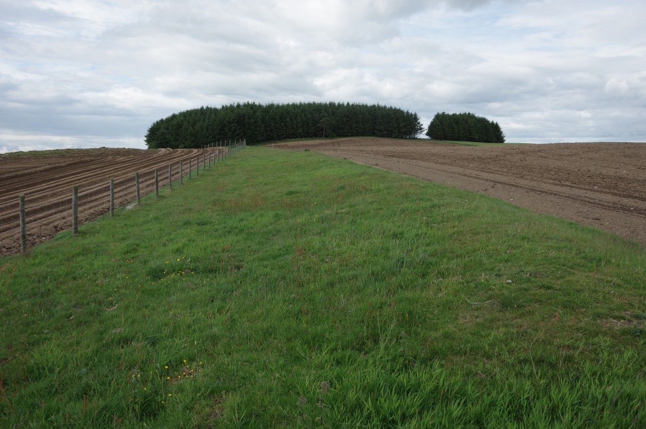
(17) Granner Wood
(18) Upper Dunn's Plantation
(19) Climbing Pen Offa

(20) Hilltop Plantation
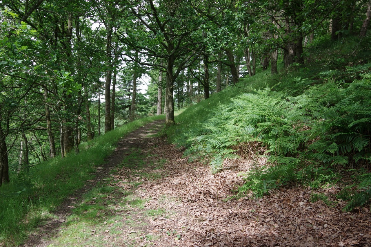
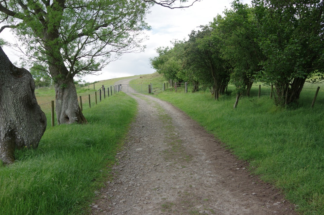
This straight stretch of the Dyke runs for a little more than a kilometre, with the Path atop the Dyke until the last field, where the path runs along the field edge for part of the way before getting back on the Dyke until wooden steps drop down onto Bank Lane. The village of Evenjobb is about seven hundred metres to the left, but has no facilities of interest to walkers, so I decided to press on, climbing three flights of wooden steps in quick succession to gain a footpath through the Woodland Trust's Granner Wood on the western slope of Evenjobb Hill (picture 17).
The fairly level path contours around the hillside, eventually emerging from the trees at a gate where a very weathered fingerpost points the way ahead to a forestry track that takes the ODP through the eastern end of Upper Dunn's Plantation (picture 18). When the track bends left to go deeper into the plantation, Offa's Dyke Path is signposted up a long flight of rough steps to rejoin Offa's Dyke as it climbs the hill of Pen Offa (picture 19) to pass through the middle of Hilltop Plantation (picture 20).

(21) Penoffa Farm
(22) Descending into the Lugg Valley

(23) Yew Tree Farm
(24) River Lugg
On the far side of Hilltop Plantation, the Path follows the Dyke as it descends across Penoffa Farm. The wood behind the farm buildings over to the left (picture 21), conceals another Iron Age hillfort, though this one is only a fraction of the size of the one atop Burfa Bank.
After crossing a minor lane, the Path climbs along the edge of a rough pasture to the right of the Dyke (not the left as shown on the OS map) before beginning a long descent into the valley of the River Lugg (picture 22), getting about three-quarters of the way down before the path swaps sides of the Dyke for the rest of the way to the next lane.
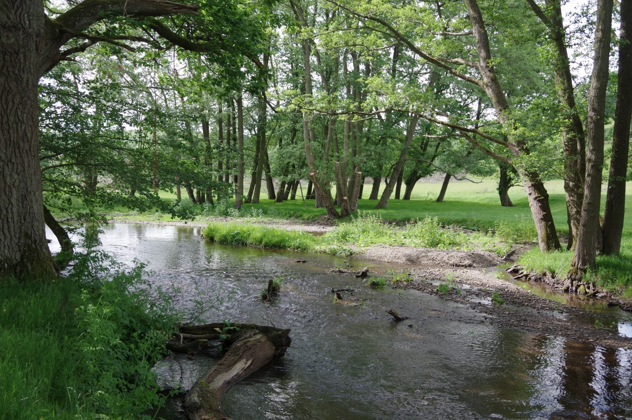
Across the lane, the Dyke all but disappears and the Path bears right to follow a tree-filled ditch across three fields on Yew Tree Farm (picture 23) to reach the River Lugg (picture 24), a one hundred kilometre long tributary of the Wye. Following the riverbank to the right, the Path soon finds a footbridge over the shallow river. The crossing is marked as Dolley Old Bridge on the OS map, but looked very new.

(25) Ackhill Baptist Chapel
(26) Furrow Hill

(27) View over Whitton
(28) Furrow Hill
Leaving the River Lugg behind, Offa's Dyke Path follows the right edge of a large field, ignoring a few gates until a waymarker points along a short farm track leading to a bend in the B4356. The road is followed ahead to the edge of the small village of Dolley Green, where Offa's Dyke Path turns sharp left up an unsealed track.
Before making that turn, however, I continued just ahead to the Ackhill Baptist Chapel (picture 25), by far the most modern of the churches passed on the trail so far, having been built of brick in 1930. Around the back of the chapel is a handy seat and a water tap. The bathroom is also left unlocked for walkers and a visitors book is kept therein. The gentlemen I had been playing tag with earlier in the walk had signed the book the previous day, and another half dozen names had been added after them.
After refilling my water bottle and adding a note of thanks to the visitors book, I returned to the Path, which climbs in a long arc onto Furrow Hill, initially heading westward (picture 26) but gradually swinging around to the north-east by the time the track peters out and the Path picks up Offa's Dyke again above a combe separating Furrow Hill from Gilfach Hill. Looking down the combe, there is a good view over the little village of Whitton and its surrounding farms (picture 27).
Ahead, the Path follows the fenceline along a very worn-down stretch of the Dyke running parallel to the ridge of Furrow Hill but about forty metres lower (picture 28). This unusual positioning of the Dyke off the highest ground was probably to allow anyone stationed on the Dyke to see their enemies coming up the combe from Whitton.
(29) Hawthorn Hill

(30) Hawthorn Hill
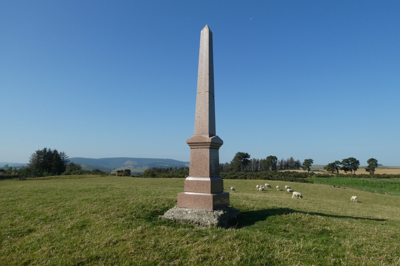
(31) Sir Richard Green Price Monument

(32) Offa's Dyke near the B4355
From the third gate in the long fence, the course of the Dyke bears half-right to climb diagonally across a large field toward the summit of Hawthorn Hill, though that section of the earthwork has been virtually obliterated. With no distinguishable earthwork to follow across the field, Offa's Dyke Path instead follows the fences around two sides of the field to pick up the next visible stretch of the Dyke, one field away from the conifer plantation on the summit of Hawthorn Hill (picture 29).
The Dyke runs just outside the left edge of the plantation, the bank becoming much more pronounced now that it is no longer in ploughed fields. Beyond the plantation, the Dyke bends left to pass close to a smaller plantation (picture 30). In the first field to the right after the plantation, the tall obelisk of the Sir Richard Price Green Monument stands not far off the path (picture 31, taken in brighter weather on my southbound walk). Sir Richard, a 19th century MP, campaigned to bring the railways to Radnorshire. His legacy is the scenic Heart of Wales Line.
The Path now bears diagonally left across an enclosure filled with shoulder-high gorse bushes, crossing a stile and following a farm track towards the B4355 before veering left to a roadside stile under trees. Over another stile across the road, the Path follows the Dyke down a series of fields (picture 32) to rejoin the B4355. The road is followed to the next junction, where Offa's Dyke Path is signposted left along a short stretch of the B4357 then right onto a lane where the Dyke starts again at a gate fifty metres up on the right.
(33) Path beside Offa's Dyke
(34) Ffridd
(35) Great Frydd Wood

(36) Knighton Clock Tower
The Path runs along the edge of a couple of meadows before crossing two more where nothing of the earthwork remains. The next extant stretch of the Dyke is hidden under a long belt of trees, so the Path runs beside the ditch (picture 33) in the next three fields before switching sides of the Dyke to cross the grassy plateau of Ffridd (picture 34).
Gradually the Dyke diminishes and the path begins to descend the left edge of Knighton Golf Club under the overhanging trees of Great Frydd Wood (picture 35). Eventually a gate is reached and Offa's Dyke Path turns down through the wood, crossing one lane before descending to a second on the edge of the market town of Knighton. In front of a row of garages, the Path turns left to cross both Frydd Terrace and the A468 to descend the steep Larkey Lane.
At the end of Larkey Lane, Offa's Dyke Path turns left up Broad Street, Knighton's main shopping street, to reach the clock tower at the foot of the very steep High Street (picture 36) and the end of this 22.9 kilometre stage of Offa's Dyke Path. The Victorian clock tower is identical to the one in Hay-on-Wye and stands at one end of another National Trail, Glyndŵr's Way.
Knighton, the knight's town, lies just on the Welsh side of the border. So close, in fact, that the railway station on the north-eastern edge of town and the outlying houses beside the railway line are in the English county of Shropshire. The town's Welsh name, Tref-y-clawdd means "the town on the dyke". With a population of just over 3,000, Knighton is one of the largest towns on Offa's Dyke Path.
Just up the High Street, I made quick stops at Watson's Ale House and the fish bar next door, before heading off to my overnight stop at the Panpunton Farm Campsite, another kilometre's walk along Offa's Dyke Path.
As it was Sunday night, the campsite wasn't busy and there were only two other campers, both walking the path southbound. It was a lovely sunny evening, so I pitched my tent in a good spot to watch the sunset. A check of the weather forecast didn't fill me with much joy, however, as it was predicting rain for the entire ten days of the forecast. Best to enjoy the sunset while I still could, as it was looking like I might have to wait a while for another.