OFFA'S DYKE PATH NATIONAL TRAIL
Stage 14: Bodfari to Prestatyn
Wednesday, September 11, 2019

(1) View back from Moel-y-Gaer
(2) Coed Moel-y-Gaer
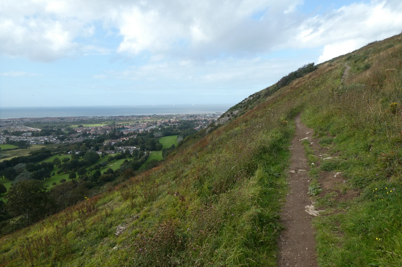
(3) View west from Sodom

(4) Cefn Du
I slept soundly after the long walk over the hills from Llandegla and with a somewhat shorter day ahead, I allowed myself the luxury of sleeping in until seven o'clock. When I crawled out of the tent, my new American friend was just about finished packing up and after a few minutes conversation he left me to my breakfast and headed off, bound for Llandegla.
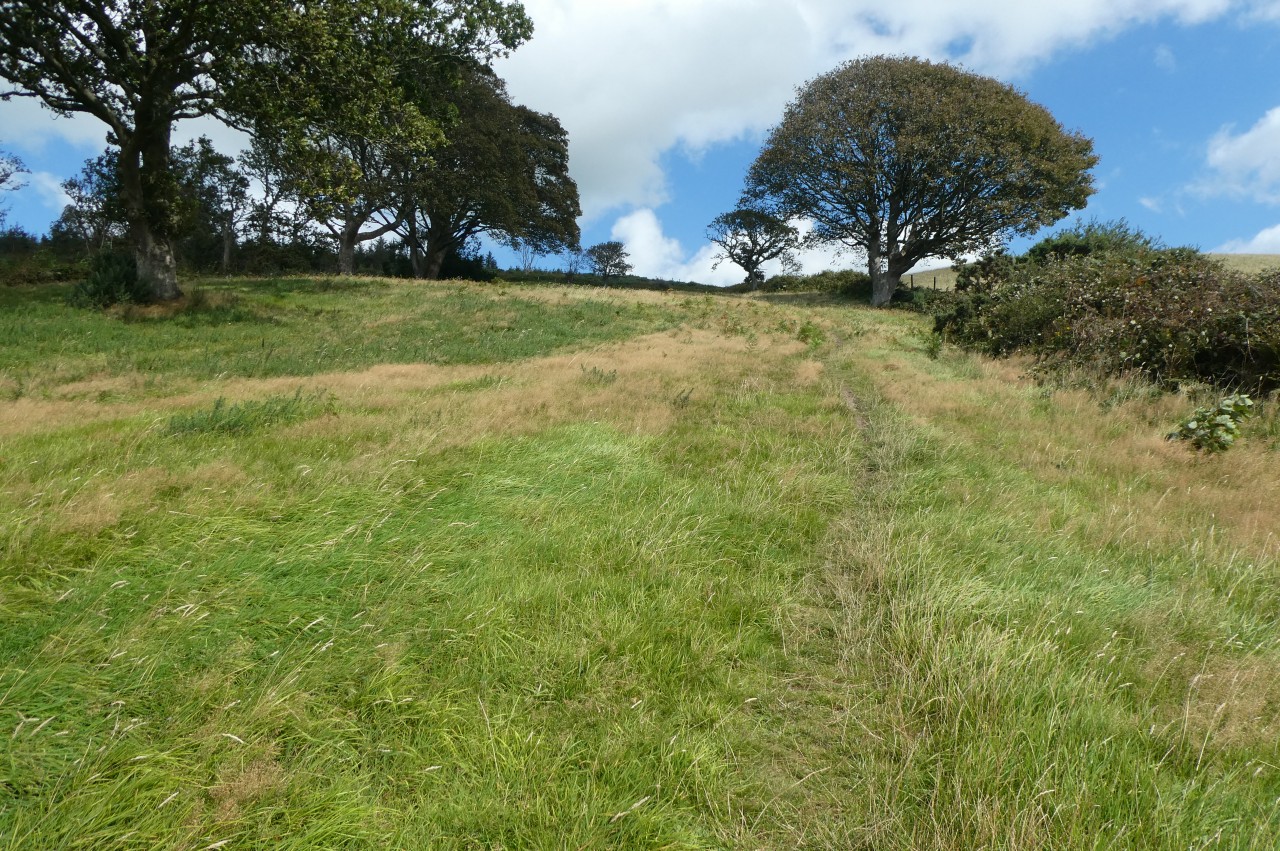
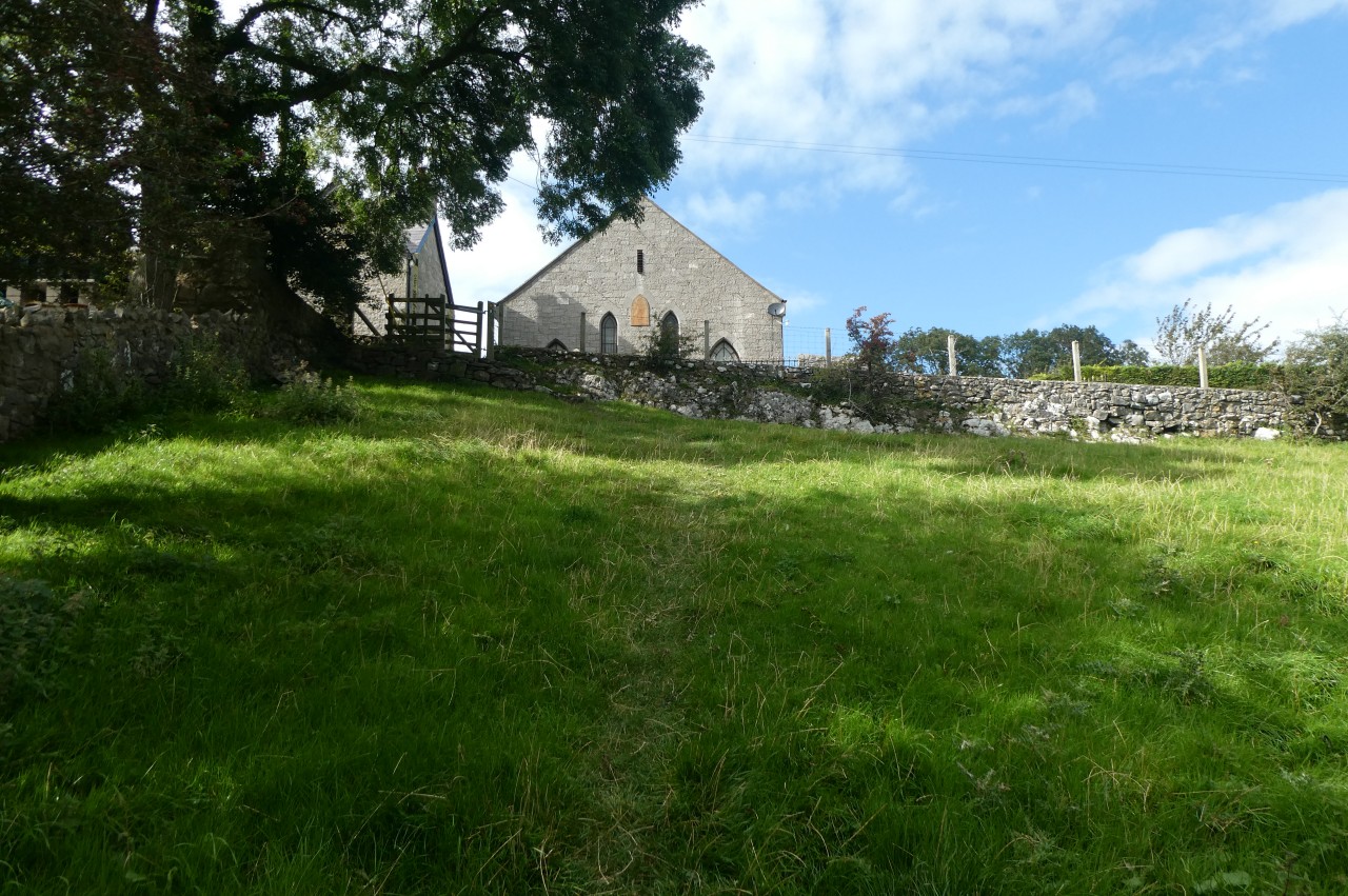
It was a little after eight when I finally departed the Station House Caravan Park and walked back up the A541 to turn up the steep lane opposite the forlorn looking Downing Arms pub. At the top of a short but steep climb to a quiet junction, the Offa's Dyke Path bears left to a fingerpost by a stile and crosses over to begin steeply ascending a grassy, pathless field on the southern side of Moel-y-Gaer, searching for a stile hidden in the bushes just below the top right corner. Before crossing the stile, I paused to catch my breath and check out the view back along the range (picture 1), where I could pick out the Jubilee Tower and the peaks as far back as Moel Llanfair.
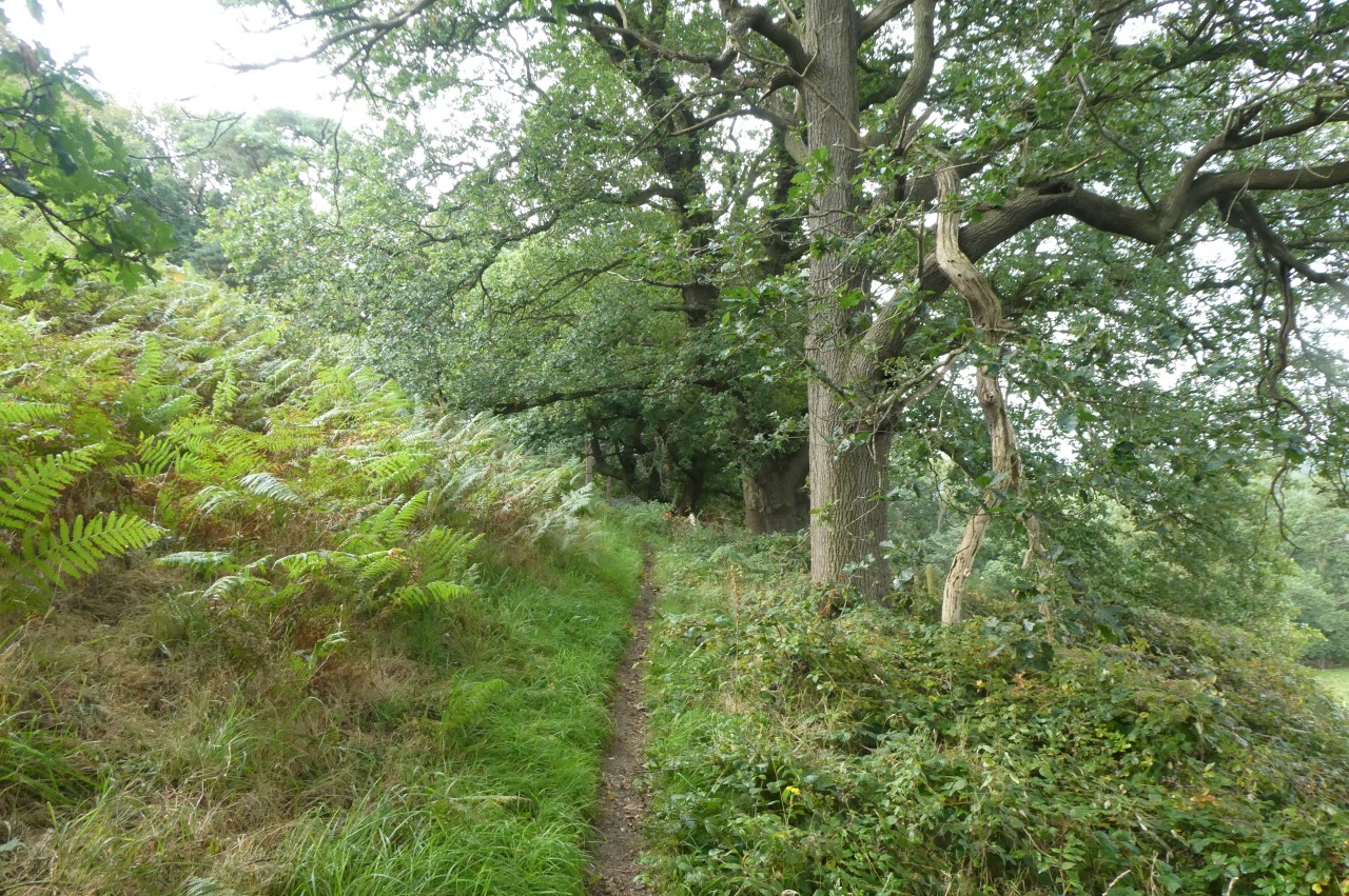
Over the stile, the gradient lessens as the Path contours around the hillside through the small wood of Coed Moel-y-Gaer (picture 2). The path is now a short distance below a hillfort that caps Moel-y-Gaer, but there are no paths up to it on the Ordnance Survey, so I presume that it is on private property.
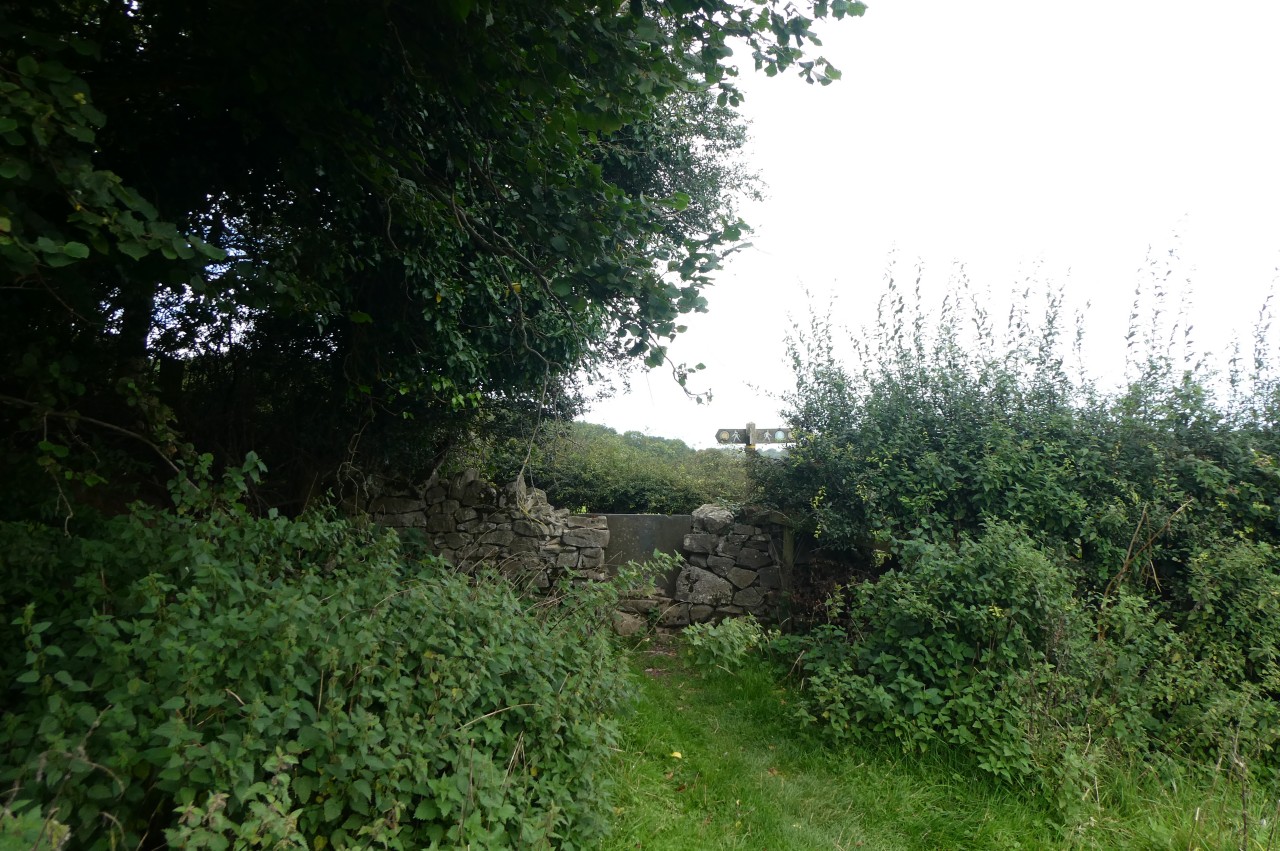
Before long, the path is signposted over a stile on the right, leaving the wood to drop diagonally across a sheep pasture to another well-hidden stile behind overhanging branches and onto a narrow sunken lane. Turning left, the Path soon reaches a fork, bearing left and climbing an unsealed track to a rather rickety stile by the next bend. Waymarks now point along the edge of one field then up the middle of the next to a fingerpost and stile by a lane in the hamlet of Fron-haul.
Now begins a stretch of road walking as the Path turns right for a few paces to a junction then turns left to climb through a crossroads and back up onto the spine of the Clwydian Range in an area labelled Sodom on the OS map. I searched the surrounding part of the map for the name Gomorrah, but to no avail.
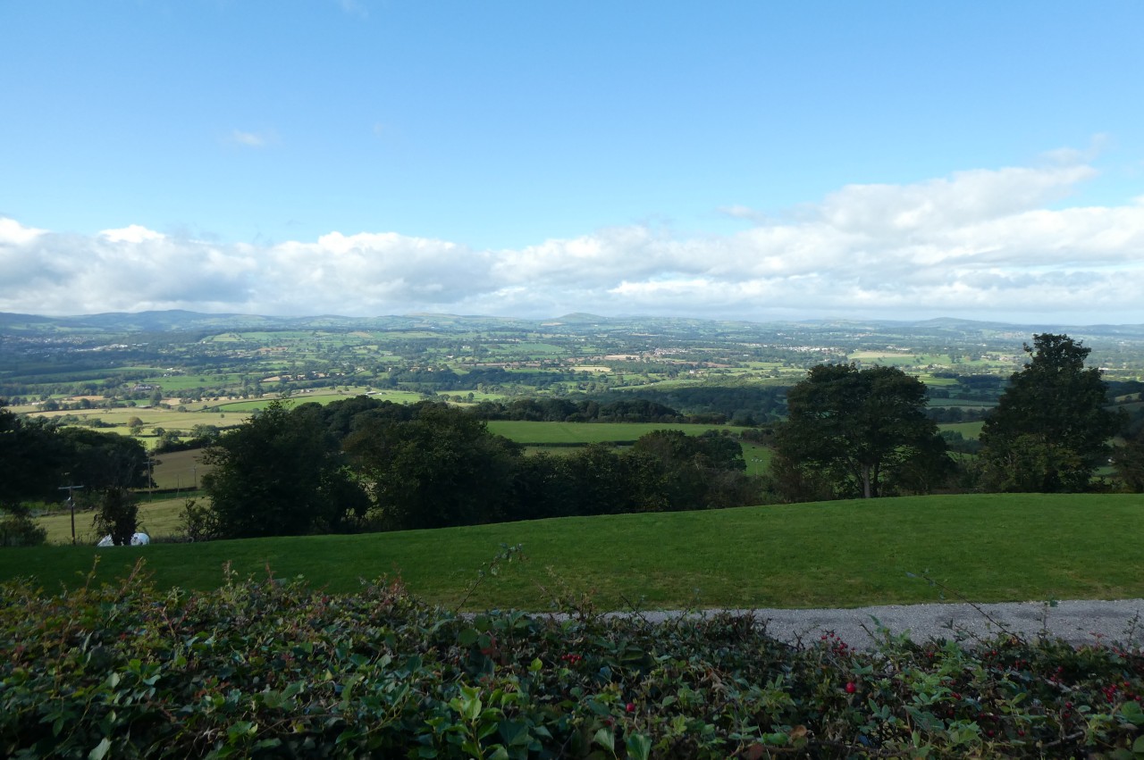
Shortly after the lane climbs past some grand gates, the view opens out to the west across the rural landscape of North Wales and the coast (picture 3). When the lane eventually bends left then right in quick succession, the Path leaves the tarmac at the second bend, climbing ahead through the edge of a wood to emerge through a new wooden kissing gate near a rather noisy wind turbine on the grassy plateau of Cefn Du, following parallel wire fences ahead to a stile near the crest of the hill (picture 4).

(5) Descending from Cefn Du
(6) Moel Maenefa
(7) Descending from Maen Efa
(8) Rhuallt
The fences bear left, but the Path bears right across the grassy hilltop at a similar angle in search of another stile that takes a while to come into view. Having found the stile, one must then bear left to aim for the end of a hedge-lined lane that is visible down the slope (picture 5).
The lane crosses a tiny stream fed by a nearby spring then climbs steadily, passing the large stone farmhouse of Pant Glas about halfway up to a left hand bend where the National Trail briefly touches the Denbighshire-Flintshire boundary before reaching a junction where the Path turns left and the border turns right.
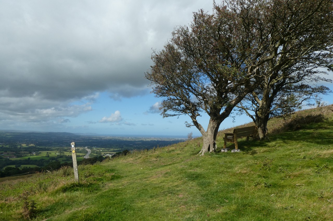
In sixty metres, the Path turns sharp right up a narrow rural lane, climbing as far as the next junction, where another lane merges in from the right but an ODP fingerpost points left along a shaded bridleway. The next fingerpost, after about two hundred metres, points half-right over a stile and diagonally up to a kissing gate in the opposite corner of a field, where a waymarker points ahead to a viewpoint where a bench sits under a pair of rather windswept trees on the south-western slope of Moel Maenefa (picture 6).
The coast seemed much closer now and I could make out more details, such as the large North Hayle Windfarm out to sea beyond the town of Rhyl and the shadowy outline of the Great Orme next to the town of Llandudno. Inland to the west, one can also see the cathedral city of St Asaph, the second smallest city in the UK.
After resting on the bench for a few minutes, I descended a well-worn path that angles down the heathery hillside and along a shady footpath to turn left on a lane. A couple of minutes walk later, a fingerpost points up half a dozen rough steps, over a stile and along the left edge of a field on Maen Efa Farm to the next signpost, which directs the Path over a stile hidden under trees.
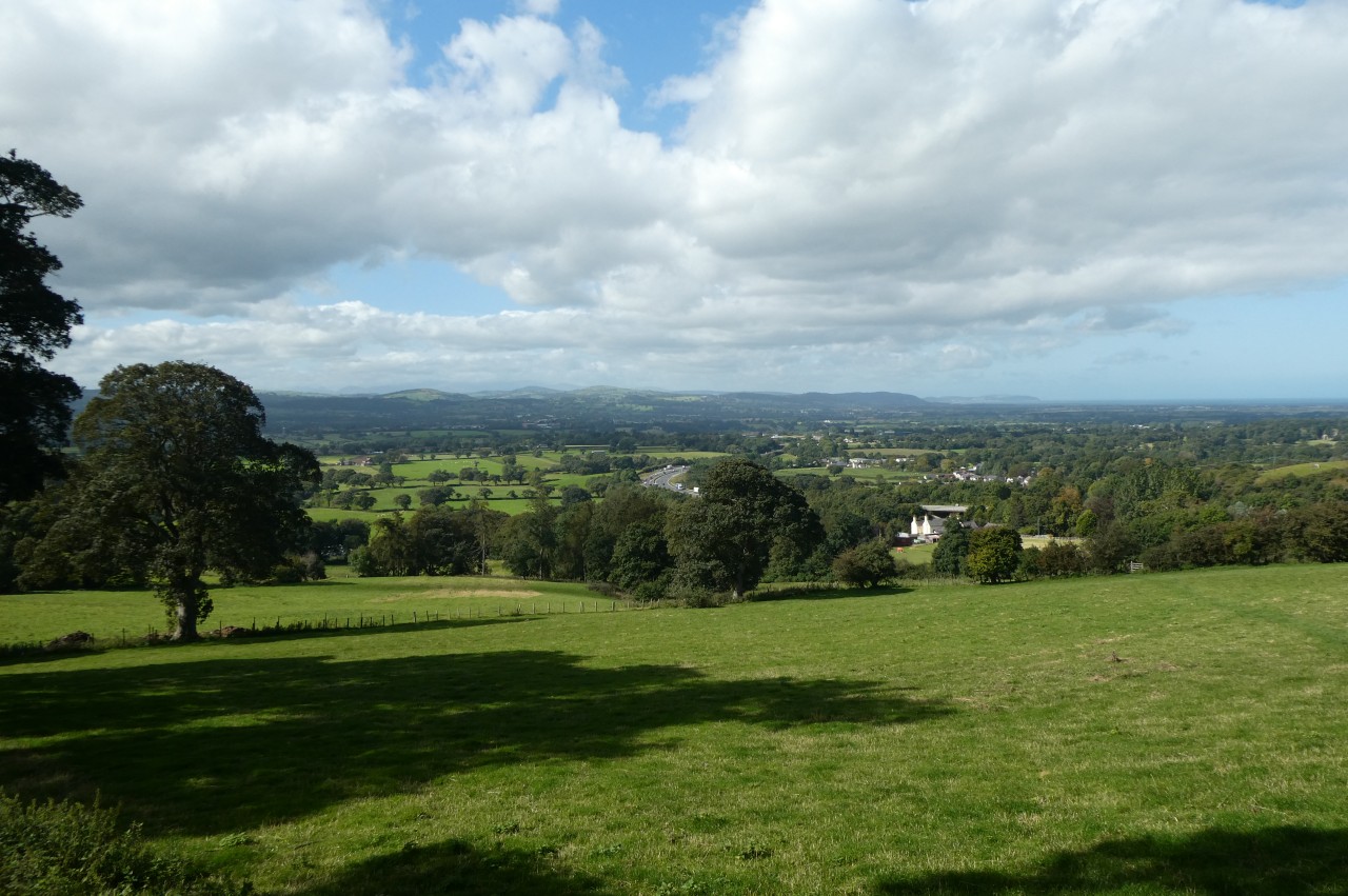
The Path now descends in a fairly straight line across the next five fields in the direction of the village of Rhuallt, which lies just across the A55 North Wales Expressway (picture 7). Turning right along the bottom of the last field, the Path soon reaches a long footbridge, crossing over five lanes of traffic then descending a lane to a slightly offset crossroads in the centre of the village (picture 8).
(9) Climbing to Pen-y-mynydd
(10) Pen-y-mynydd
(11) Ffrith Fawr

(12) Approaching Marian Cwm
The Path turns right at the crossroads to climb gently along Cwm Road. The narrow road is followed for about five hundred metres until, just past Brynllithrig Hall, it turns right over a stile to make a steep climb up through trees, grassland (picture 9) and, at one point, head-high bracken to eventually gain a pot-holed farm track by the farmhouse of Pen-y-mynydd (picture 10).
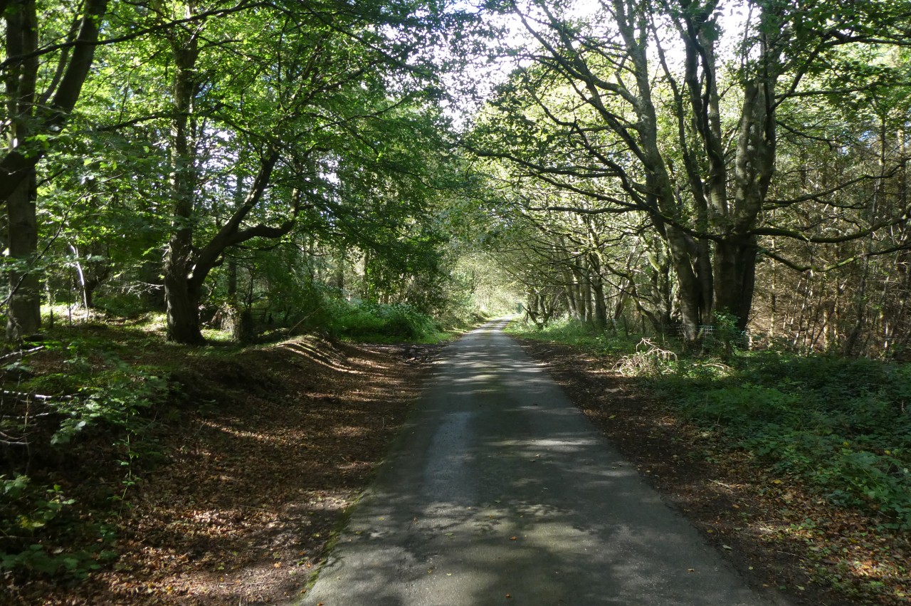
The track winds its way across the face of the hill for the next kilometre, eventually reaching a lane at the corner of the large woods of Ffrith Fawr and turning left to follow the lane almost as far again along the edge of the shady wood (picture 11). Shortly after leaving the woods behind, the Path turns right over a stile and along the edge of a meadow, signposted for Marian Cwm (picture 12).
(13) Marian Cwm

(14) Marian Ffrith
(15) Stone stile near Morwylfa
(16) Marian Mill Farm
Over one more lane and another meadow, the Path climbs a grassy slope to a gate opposite an attractive stone chapel in the little village of Marian Cwm (picture 13). At a small parking area just beyond the house to the left of the chapel, a signpost points to a gate set well back from the road, and beyond this the Path climbs over the rounded hill of Marian Ffrith (picture 14), passing between two small humps on the summit before descending over a couple of stone stiles to turn left on a grassy track past the stone farm buildings of Tyddyn-y-cyll. (On my southbound walk a couple of days later, the farmer was leading several alpacas along this track.)
Around a bend, the Path turns right over a stone stile beside a collapsed farm gate and descends around the right side of a low bluff, crossing two more stone stiles (picture 15) to turn down a farm track to meet Hiraddug Road by a property called Morwylfa.
Across the road, the Path follows a line of trampled grass over a large hay meadow and along the right edge of a smaller sheep pasture to turn right over a stile onto a grassy bridleway that leads to Marian Mill Farm (picture 16).
A small panel attached to the fingerpost in front of the farmhouse identifies this area as The Valley of Mills. Until the early 20th Century, seven water-powered mills operated here, producing cloth and flour.
(17) Ty Newydd

(18) Laburnam Cottage, Bryniau

(19) View over Prestatyn
(20) Prestatyn Hillside Nature Reserve
Offa's Dyke Path turns left in front of the farmhouse to follow the drive over a millstream and between the abutments of a long-dismantled bridge, passing back into Flintshire. Ahead, the Path forks right just as the drive becomes a tarmacked lane climbing gently past some houses to a right-hand bend, where the Path goes straight ahead over a stile and along the left margin of a crop field to reach the A5151 Newmarket Road opposite the large barns of the Ty Newydd dairy farm (picture 17).
Over the road (and back in Denbighshire), a gate takes the Path up the edge of a rough sheep pasture next to Ty Newydd to a kissing gate where I had to shoo half a dozen inquisitive cows away so that I could enter the next field and cross to another gate by a quiet lane along which the Path turns left.
Sixty metres up the lane, a fingerpost points half-right up a short track and into a hay meadow that had just been harvested. The Path heads along the bottom of the meadow as far as a telegraph pole then turns right to climb past another pole to a stile next to a third pole. The route bears slightly left across the next field then a little to the right to cross the last two fields to a road, where the hamlet of Bryniau lies just a few paces to the left.
The Path turns right at Laburnam Cottage (picture 18) then right again ten metres later to follow a driveway past a little limestone outcrop and up to the gates of the appropriately-named Red Roofs, where a kissing gate on the right gives access to a quiet woodland path that climbs past the house and around a long right-hand bend. At a fork, the footpath takes the uphill path on the right, signposted to Prestatyn, and after curving back to the left to pass above a disused limestone quarry, there is visual confirmation that the walk is approaching its conclusion when the path emerges onto a grassy hillside with the town of Prestatyn laid out ahead (picture 19). It's not quite all downhill from here, however, as the path keeps climbing into the Prestatyn Hillside Nature Reserve (picture 20), where precious metals were mined from Roman times until late in the 19th century. I saw several hares foraging in the undergrowth of the reserve, but none would stay still long enough for me to get a good picture.

(21) Pant y Fachwen

(22) Prestatyn Hillside Nature Reserve

(23) The Cross Foxes

(24) Christ Church, Prestatyn
After climbing steeply past the ruins of the tiny 18th-century cottage of Pant y Fachwen (picture 21), once home to a family of eleven, Offa's Dyke Path dips ever so briefly into Flintshire one last time before gaining the top of the ridge (picture 22), passing near a Bronze-Age burial chamber on the summit. A long flight of wooden steps begins the descent from the last peak on the National Trail and it really is all downhill now as the Path squeezes past a mesh fence above another abandoned quarry and descends through woods to a marker post where it makes a sharp left turn to circle down to a carpark on the edge of Prestatyn.
Leaving the carpark, Offa's Dyke Path heads downhill to merge into Bishopswood Road then turns left down Fforddlas to a crossroads by the Cross Foxes pub (picture 23), continuing ahead down the High Street to pass by the large Victorian-era Christ Church (picture 24).

(25) Sculpture by Prestatyn Station

(26) Stone marking the end of Offa's Dyke Path
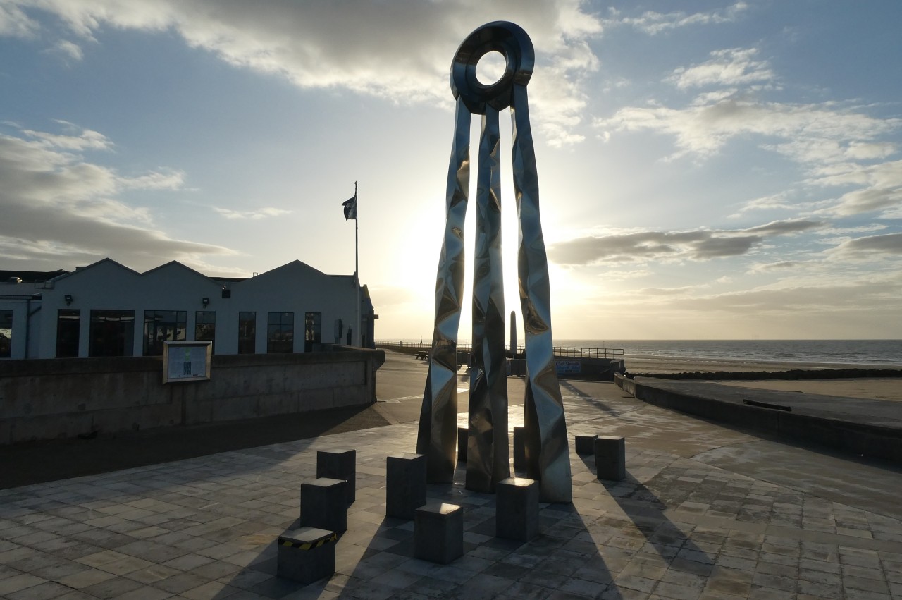
(27) Beginning and End sculpture

(28) Prestatyn Beach
A few blocks further on, the High Street ends at a strange sculpture (picture 25) by Prestatyn Station, a stop on the North Wales Coast Line. After using the station's footbridge to cross the tracks, Offa's Dyke Path heads coastward down Bastion Road for the last seven hundred metres of the National Trail. In front of a rotunda at the end of the road, a standing stone marks the official end of the Offa's Dyke Path (picture 26), 20.9 kilometres from Bodfari and 295 kilometres from Chepstow. Up on the promenade behind the rotunda is a tall sculpture called Beginning and End (picture 27), representing the sun and waves.
Over the seawall, I walked across the beach, where the tide had gone a long way out, to dip a toe in the Irish Sea for the first time (picture 28) and then headed back up to the High Street to find a pub in which celebrate the end of my walk in the time-honoured fashion. I didn't relax for too long though, as I was going to turn around in a couple of days and do it all over again on my southbound journey.