ISLES OF SCILLY WALKS
Stage 2: St Agnes and The Gugh
Monday, September 17, 2018
It was another gloomy morning as I headed down to The Quay to join about thirty other passengers aboard the Seahorse for the day's first sailing around the Garrison and across St Mary's Sound to the UK's most southerly inhabited islands.
In less than twenty minutes we had arrived in the sheltered channel that separates St Agnes from The Gugh (picture 1). Most of the time, the channel is divided into two by the tidal causeway of The Bar, though as we were arriving right on high-tide, The Bar was entirely submerged. The water on the northern side of The Bar is called Porth Conger, while the southern side is simply The Cove.
After a brief pause to wait for another boat to leave the small quay, we alighted near the north-eastern corner of St Agnes, home to around eighty residents. From the quay, the narrow Old Lane heads along the edge of Porth Conger, passing the island's pub, The Turks Head (picture 2), then climbing slightly to reach a junction. Old Lane goes right, heading into the island's interior, while a track on the left leads down to The Bar, which was just beginning to be revealed by the falling tide (picture 3). Being a little reluctant to get my new boots wet, I decided to leave a crossing of The Bar for later in the day and instead joined a vague path that runs along the rocky shore of The Cove (picture 4).
The path soon turns right through some trees on a rocky little point to emerge on the beach of Cove Vean (picture 5), a sandy little cove within The Cove. I walked along the beach as far as a very rough set of stone steps leading to a path over the next point and among boulders on the grassy slope of Tolgillan to reach a granite outcrop on Tean Plat Point at the mouth of The Cove (picture 6).
Rounding the point, the path follows the shoreline around the east-facing Wingletang Bay (picture 7) below the slope of Wingletang Down, a miniature moorland that occupies the southern end of St Agnes and is dotted with weathered granite boulders and outcrops (picture 8).
On the far side of Wingletang Bay, the southern tip of St Agnes is shaped like an arrowhead, and a path skirts around Horse Point (picture 9) to reach the west-facing Porth Askin (picture 10), almost a mirror image of Wingletang Bay.
The path now runs along the western edge of Wingletang Down, picking it's way amongst many boulders and larger granite outcrops, including the tor of Carn Adnis (picture 11). Reaching St Warna's Cove (picture 12), named after a mysterious Celtic missionary, Wingletang Down gives way to arable fields and the path encounters several low stone field walls that are crossed via stiles while following the rocky shore around the cove and past the stone-lined pit of St Warna's Well.
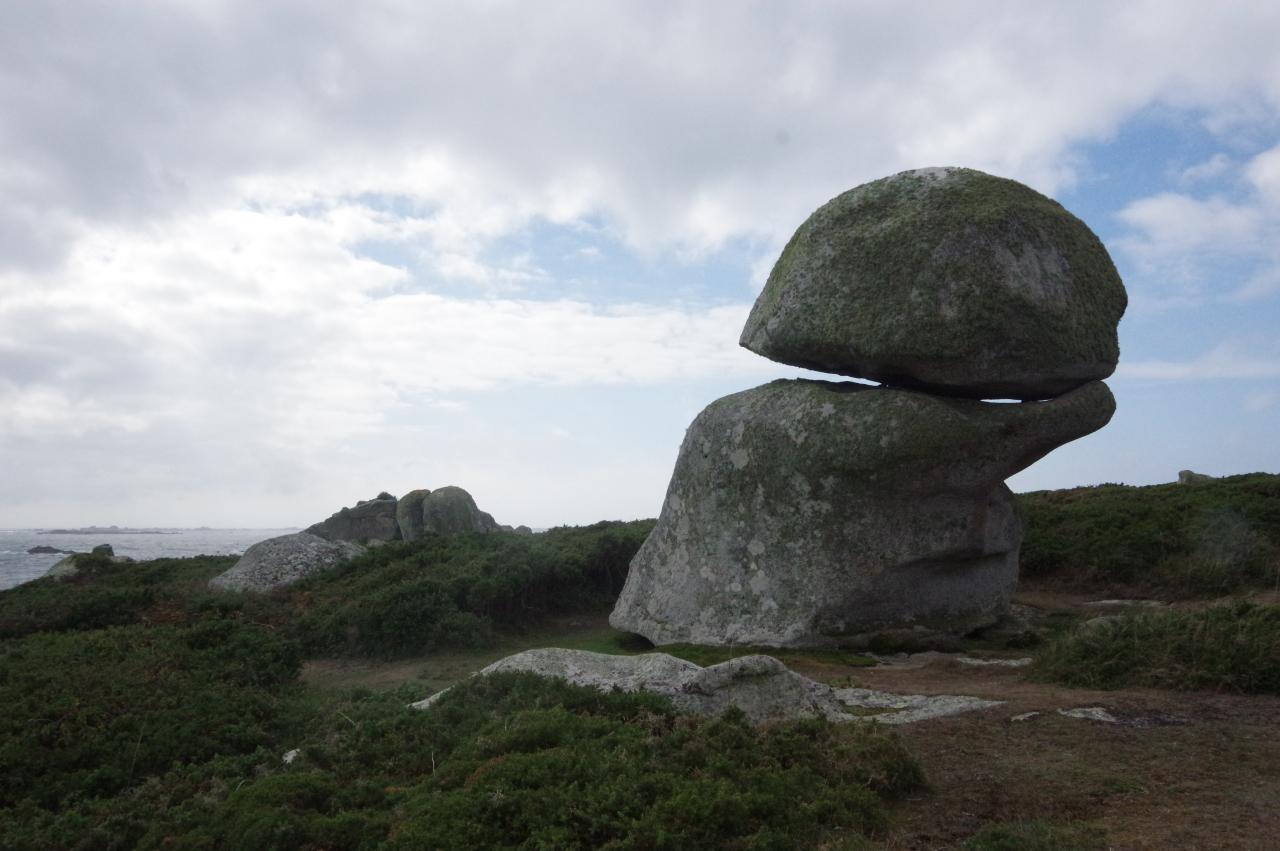
On the far side of St Warna's Cove, I briefly left the coastal footpath to visit a strange outcrop called The Nag's Head (picture 13), which stands about fifty metres inland. This is an entirely natural formation, fashioned by wind, rain and frost.
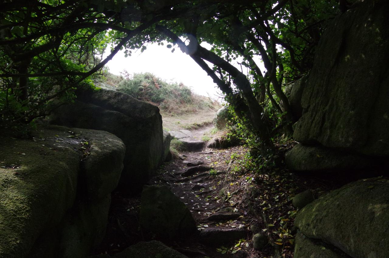
Returning to the coastal path, I walked through a rare patch of trees at Black Hole (picture 14) before heading for the tall granite spine on the tip of Long Point (picture 15) and climbing over the landward end to follow a vague trail across the rocky landscape of Castella Down (picture 16).
As the path rounds Carnew Point there is a good view to the uninhabited island of Annet, home to colonies of seabirds, and some of the Western Rocks (picture 17). The path now heads a little inland to pass to the landward side of two small, stone walled fields and crosses a stone wall to run along the top edge of two longer fields belonging to the Troytown Farm Campsite (picture 18).
At the far end of the second field, a track heads past a cottage and emerges on New Lane, beside the Lower Town Church (picture 19). A left turn down to the foot of the lane leads to another sandy beach in the little bay of Periglis. The tiny Burnt Island is connected to St Agnes by a stony bar on the far side of the bay, providing a somewhat sheltered anchorage for about a dozen small boats (picture 20).
An obvious path runs along the low dunes fringing the bay turning right at the next granite tor to continue along the edge of Porth Coose, from which there is a fine view inland across the Big Pool and up to the old lighthouse that stands on the island's highest point (picture 21). Beyond Porth Coose, a path rounds Browarth Point, which faces the Garrison on St Mary's with its Batteries and Redans clearly visible (picture 22).
Eventually the footpath merges into a track that follows a stout stone seawall around Porth Killer (picture 23) and cuts across Kallimay Point to return to The Quay (picture 24). My GPS measured the lap of St Agnes at just 6.4 kilometres.
From The Quay, I walked past the Turks Head, now open, and back to The Bar, now uncovered (picture 25) to cross to The Gugh. The two houses facing The Bar are the only homes on The Gugh, which has a population of just four.
After crossing The Bar, I turned left and followed a well-worn path that runs parallel to the shore along the foot of the low ridge of Kittern Hill, which occupies the northern half of The Gugh (picture 26). Just before reaching a spectacular jagged spine of granite at the north-west corner of the island, the path turns sharp right to climb up to the summit of the hill, at just 34 metres above sea-level. From this modest height there are still good views across the narrow channel to St Agnes (picture 27) and the much wider channel to St Mary's (picture 28).
From the summit, I headed south along the ridge, following a narrow groove worn by many previous walkers in ground that is otherwise carpeted with gorse and bracken. The path begins to descend before it passes The Old Man of Gugh, a standing stone erected in the Bronze-Age that now has a considerable lean (picture 29).
I continued onward to the unnamed point above Dropnose Porth (picture 30), then circled around the little inlet on a narrow path through knee-high bracken to reach Dropnose Point, where the bracken gives way to gorse. The most obvious path cuts across the point, but a short dead-end spur goes out to the tip, where a boulder looks rather like one of the island's seabirds when viewed from the right angle (picture 31).
The main path curves around to pass to the landward side of a prominent tor shortly before rounding the southern tip of The Gugh at Hoe Point. From there, the path snakes its way through boulders and long grass just above the shore of The Cove (picture 32) to return to The Bar and complete a 3.8 kilometre walk around The Gugh.
After crossing back over to St Agnes and calling at the Turks Head for a late lunch, I still had about ninety minutes until the return boat to St Mary's. I used that time to explore the interior of St Agnes, following Old Lane up through the hamlets of Higher Town and Middle Town, where the island's Post Office (picture 33) can be found near the old lighthouse (picture 34). The lighthouse was built by Trinity House in 1680, but the hasn't displayed a light since 1911, when the newer lighthouse was built on St Mary's. The tower's position on the summit of St Agnes means that it is still a useful navigational aid in daylight hours.
The road forks near the lighthouse, with Old Lane heading down through the hamlet of Old Town, passing a Methodist chapel (picture 35) just around the corner from the Old Town Church that I passed earlier in the day. New Lane climbs back to the junction near the lighthouse and Post Office to form a pleasant little loop.
Just past the Post Office, I turned right down an unsurfaced track called Barnaby's Lane that runs between a series of tiny, hedge-lined fields and out onto the middle of Wingletang Down, where the small, gorse-covered moorland is crowned by the strange formation of the Devil's Punchbowl (picture 36).
After retracing my steps, I arrived back at The Quay about twenty minutes before the appointed time. As I watched the Seahorse appear from behind the Garrison and start to cross St Mary's Sound, most of the other visitors emerged from the Turks Head and trotted back to The Quay in good time to meet the boat, making me wonder if I might have had time for one more ale in the UK's southernmost pub.


