ISLES OF SCILLY WALKS
Stage 3: Bryher
Tuesday, September 18, 2018
The Isles of Scilly were bathed in sunshine when I awoke on the third day of my visit. Due to the good weather there were multiple boats running to each of the off-islands and a large crowd of tourists were milling about on The Quay as I joined the long queue in front of the little stone ticket office. Before I reached the front of the queue, I made up my mind to visit Bryher, since I seemed to have unconsciously chosen to visit the islands in a clockwise sequence.
I was assigned to the Golden Spray, which quickly filled with passengers and set off northwestwards out of St Mary's Harbour and across The Road. On the far side, the skipper expertly steered the boat through a jumble of sandbanks and rocky islets between the uninhabited island of Samson and the southern tip of Tresco to enter New Grimsby Sound. The narrow, three kilometre long channel separates Bryher on the west side from Tresco on the east side, providing the most sheltered anchorage in the islands.
The southern half of Bryher is made up of five low hills separated by low-lying land divided up into a multitude of small fields and is fringed by sandy beaches. By contrast, the northern half is a windswept, heather-covered plateau and a long, narrow headland, both fringed by low, rocky cliffs with those on the side facing the Atlantic being regularly pounded by powerful waves. All of the island's eighty or so permanent residents live on the southern half.
Roughly a third of the way up the east side of Bryher is Church Quay, where the boat docked. As I alighted, a group of about one hundred people in wetsuits and another thirty or so kayakers were gathering on the adjacent Town Beach (picture 1), getting ready to start the Scilly Swim Challenge, an annual event where participants aim to complete six inter-island swims in a day.
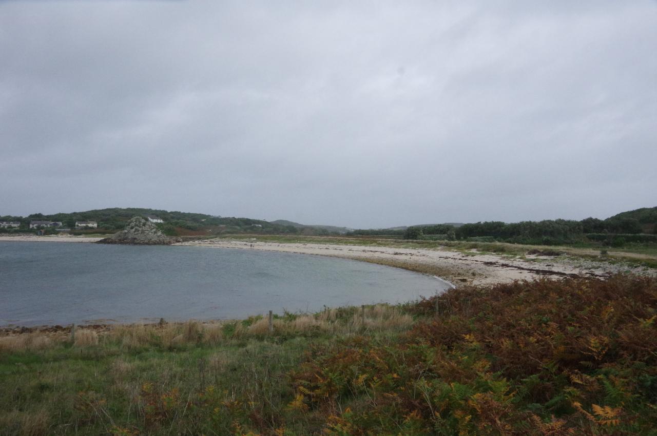
After watching the swimmers set off towards Tresco, with the kayakers following behind, I began my own journey, joining a track that starts at the top of the quay and runs along the edge of the sandy Green Bay (picture 2). Halfway around the bay the path suddenly takes an S-bend to pass behind a series of narrow fields and head through the middle of Veronica Farm (picture 3) before turning back to the coast.
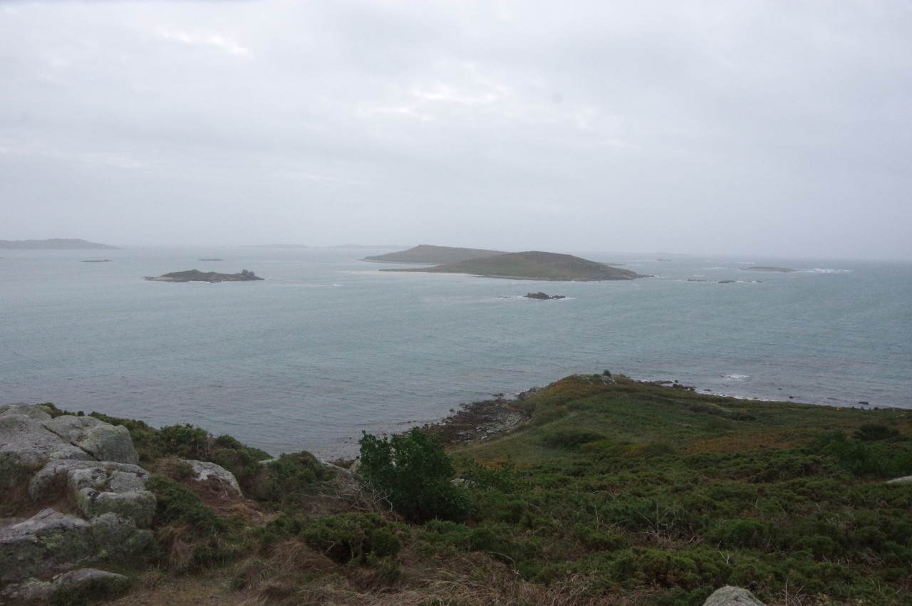
The track passes a hut at Bennett's Boatyard and a short distance later a signpost that has fallen over in long grass points off the track and along a narrow footpath. Flanked with bracken for most of the way, the path circles around the foot of Samson Hill to reach the southern tip of Bryher at Works Point. This is Bryher's closest point to the island of Samson (picture 4), which lies about 700 metres away across a channel that is so shallow that it's possible to walk across it on very low spring tides.
Continuing around the foot of Samson Hill, some of the Norrard Rocks come into view as the path skirts around a small beach at Rushy Bay (picture 5). Behind the bay is a junction of paths where I took the opportunity to leave the coastal path and climb up to the summit of Samson Hill, the highest ground on the southern half of Bryher, at a modest forty-two metres above sea-level.
A millennium compass rose, almost identical to the one I had seen on St Mary's, marks the summit, and from this point there are good views south over Samson (picture 6), north over the patchwork of small fields in the middle of Bryher (picture 7) and west over Heathy Hill, where the coastal path goes next (picture 8).
Returning to the coastal path, I headed across the southern side of the aptly-named Heathy Hill, where the heathery slopes are dotted with boulders and tors (picture 9). Several extremely rare plant species have been found on the little hill, including one that has been found nowhere else on Earth.
Eventually the path squeezes past a small stand of trees, where someone has built a very rudimentary treehouse (picture 10). Beyond this, the path soon arrives at Droppy Nose Point, which offers a panoramic view over the many jagged little peaks of the Norrard Rocks (picture 11). The path then turns sharply to run around the north side of Heathy Hill, passing the largest of the tors before beginning to follow the gentle curve of Great Porth (picture 12).
An obvious path runs along the grassy bank behind the shingle and sand beach, passing behind a large rocky outcrop halfway around the bay to join a sandy track that cuts across the next headland between the most westerly house in England (picture 13) and the Great Pool (picture 14).
Beyond the house, the path returns to the coast and continues around Stinking Porth toward Gweal Hill (picture 15). I didn't detect any offensive odours hereabouts, so I suspect that the little inlet has been named a little unkindly.
The coastal path runs around the lower edge of Gweal Hill, but on the far side of Stinking Porth a path offers a worthwhile short diversion up to the top of the hill, with a good view back across the southern end of Bryher (picture 16).
The weathered tor on the summit of Gweal Hill looks out across the narrow stretch of Gweal Neck to the small island of Gweal (picture 17), which would once have been part of Bryher.
Returning to the coastal path, I followed the well-worn trail around Gweal Hill, walking just above the shoreline (picture 18) until the path is forced to climb over the lower part of the tor I had stood on top of a few minutes earlier. No longer sheltered by the hill, I noticed that the wind was picking up and it was getting colder as I walked along the edge of the rocky cove of Great Popplestones (picture 19). When the path merges into a broader track running alongside the Great Pool, a small stone maze can be seen in the grass overlooking the beach (picture 20).
The track isn't followed for long before a footpath branches off to the left and follows the rocky shore the rest of the way around the cove to the point of Popplestone Brow, opposite Gweal Hill (picture 21).
Now on the flank of Shipman Head Down, the path passes Great High Rock (picture 22) and heads along the low cliffs above Hell Bay, heading for Shipman Head at the northern end of Bryher (picture 23). By the time I reached the slope descending from Shipman Head Down to the narrow neck of Shipman Head (picture 24), the wind was blowing quite fiercely and I was walking straight into it, making me rather glad to have brought both a fleece and a windproof jacket with me.
Labouring into the wind, I followed an obvious path along the left side of the headland (picture 25) as far as Badplace Hill, where the way ahead is blocked by a wide ditch cut through the headland by the sea. In calm weather it should be possible to scramble across the ditch and walk out to the northern tip of Bryher, but as the breaking waves were sending great plumes of spray along the ditch, I decided not to try it. Instead, I contented myself with resting on a grassy little platform nearby in the lee of Badplace Hill, remarkably well sheltered from the wind that was still howling all around the headland, and fished my sandwiches out of my backpack. This pleasant little spot — not a bad place at all — offered a hazy view past the northern tip of Tresco to the jagged islet of Men-a-vaur and the grassy hump of Round Island, the latter topped by a white lighthouse tower (picture 26).
After finishing off my lunch I braced myself against the wind and retraced my steps back to the foot of Shipman Head Down, where I forked left, climbing up to the tor of Great Bottom Carn, which faces across New Grimsby Sound to the round tower of Cromwell's Castle (picture 27). From this fine viewpoint, a narrow path winds its way southward along the heather-covered ridge of Shipman Head Down, which is dotted with the remains of Bronze-Age burial cairns. While walking along the ridge there are more fine views, particularly those over Hangman's Island to New Grimsby on Tresco (picture 28).
Eventually the path bears a little inland shortly before it begins to descend towards the small hamlet of Northward (picture 29), where it reaches a junction in front of the Fraggle Rock Cafe (picture 30). I turned right at the cafe, walking about 250 metres down a lane until a small gate on the left (picture 31) indicates a permissive path down a field to meet a track that runs along the back of Town Beach to return to my starting point at Church Quay (picture 32). My GPS showed 9.5 kilometres walked for the day, including about a kilometre for the two diversions to Samson Hill and Gweal Hill.
Once again, I had completed the walk early enough to leave plenty of time to explore the interior of the island. The lane leading up from Church Quay passes by the small Church of All Saints (picture 33), built in 1742 but much modified since then, before reaching a crossroads by the Bryher Fire Station.
I first followed the lane to the right, which leads through The Town, across the foot of Watch Hill and back to the Fraggle Rock Cafe. Just before the cafe a path on the left climbs up through gorse to a stone watch tower on the top of the hill (picture 34). This vantage point has fine views in all directions, including a glimpse of the white sand beaches of St Martin's beyond Tresco (picture 35).
Returning to the crossroads, I continued ahead, following the lane over Timmy's Hill, past the Bryher Community Centre (picture 36), built in 2009, and down to Great Porth. I had enough time to dip a toe in the rather cold sea and gaze out at the Norrard Rocks before walking along the last of Bryher's roads, which runs just to the north of Timmy's Hill to return to the crossroads. From there it was just a few minutes walk back to Church Quay and along Town Beach to the low-tide Bar Quay where the boatman had arranged to collect the visitors for the short trip back to Hugh Town.


