THE NORTH DOWNS WAY
Stage 5: Oxted to Otford
Friday, July 30th 2010
I walked this section of the North Downs Way on Friday, July 30th 2010. I got the train down from London Victoria to Oxted Station, arriving mid-morning.
Before rejoining the trail, I wandered around the streets on either side of the station. Station Road West is particularly interesting, with lots of impressive Tudor-style buildings, including the local Cinema (picture 1).
After the thirty-minute walk from the station back to Chalkpit Lane, where I left the trail the previous afternoon, the trail climbs a chalky path along the edge of a field (picture 2), turning right at the top and continuing to follow the edge of this field and the next, with views of the M25 motorway and beyond to the right of the path (picture 3). At the end of the fields, the trail turns left through a wooden kissing gate and begins to climb steeply through the beech woods of Titsey Plantation (picture 4).
At the top of the climb the path comes out of the woods at an intersection (picture 5), where it turns right and follows the B269 for a short distance before crossing the road and taking a path through the woods parallel to the road. The marker post where the plantation joins the road points off vaguely to the right and it would be easy to misinterpret it as pointing down the second road on the right of the intersection. Fortunately, I was able to deduce the correct route from the Ordnance Survey map.
The path follows parallel to the B269 for about 500 metres, before turning left up some wooden steps built into the hillside (picture 6).
The path soon crosses a minor road and goes through a short section of darker woods before crossing a stile into open farmland on Church Hill (picture 7). As the path crosses the farmland, it gets closer to Clarkes Lane, where a strange carving can be seen at the road's edge (picture 8).
From Church Hill, there are some good views to the south, and I decided to take a self-portrait with these in the background (picture 9).
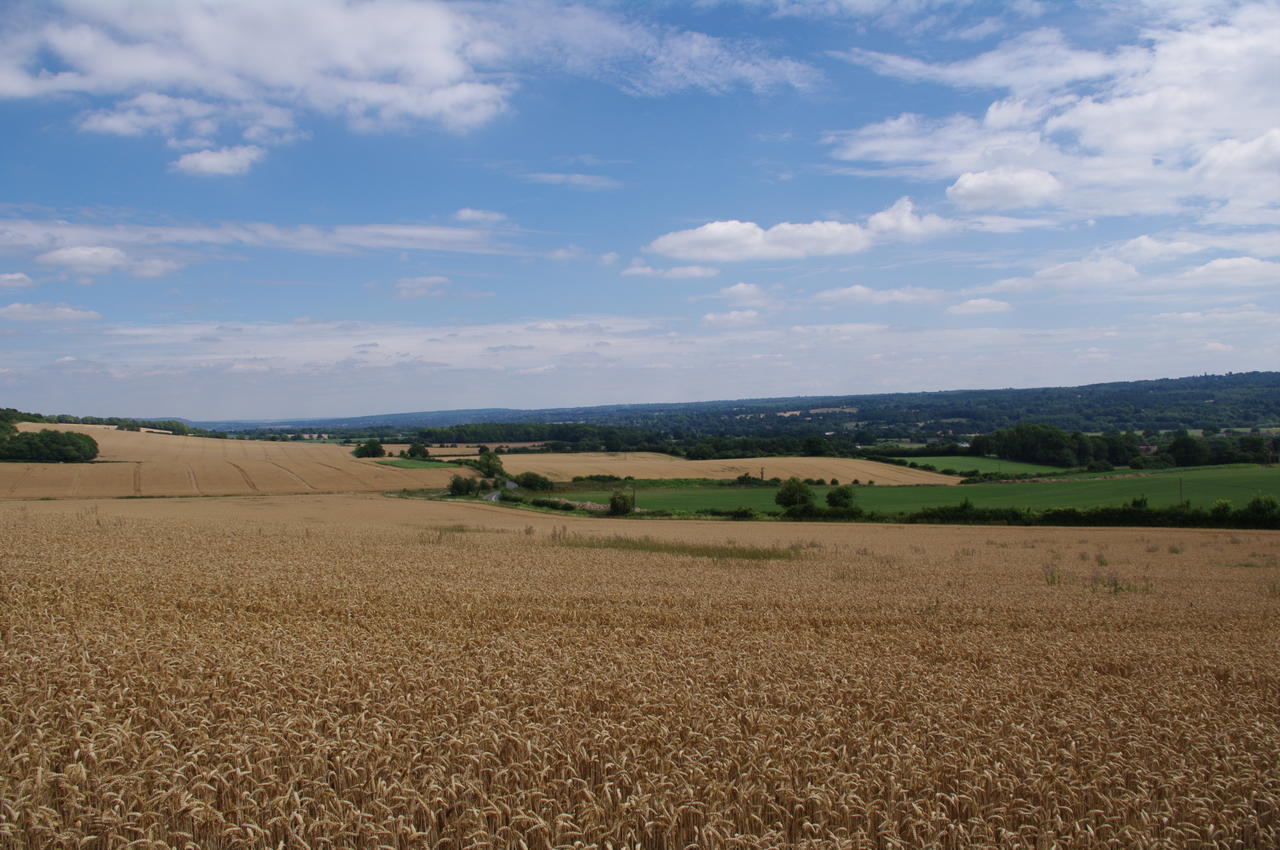
The path meets the road at an intersection and crosses into Chestnut Avenue, passing by a sign for the Park Wood Golf Course (picture 10). After about a kilometre walking along the sealed road through quiet woods, the road becomes an unsealed track. Somewhere along this track the path crosses the border between Surrey and Kent before crossing the A233 road next to Mount Lodge (picture 11). On the other side of the road, the path skirts around two sides of a wheat field with views east across the Kent Downs (picture 12). At this time of year, the summer wheat crop had grown to about two feet high and there would be several more such wheat fields on the path over the next couple of days of the walk.
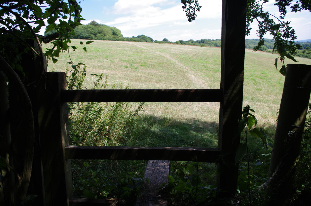
The trail follows the edges of several more fields overlooking the town of Westerham, climbing gradually higher to Brasted Hill. On this part of the walk there are a lot of stiles -- I counted about twenty -- in various states of disrepair. In one of these fields, the trail passes a strange leaning power pole (picture 13), while in another field a herd of cows were grazing on the path (picture 14).
A little further on, the trail crosses Sundridge Lane. Here I took a short detour along the lane to the nearby village of Knockholt, though being mid-afternoon, the Crown Inn pub (picture 15) was closed.
Since I first walked part of the North Downs Way in February 2010, the part of the trail in Kent has had many of the old wooden fingerposts replaced with new ones (picture 16) that are a bit more visible and sometimes state the distance to nearby towns and landmarks on the trail.
From Knockholt, the trail crosses more fields, then zigzags along the edge of some woodland before descending along an overgrown path to a minor road that runs next to the M25 motorway. The trail then follows the minor road for a few hundred metres to an overpass over the M25. Once beyond the overpass, the trail follows the road into the village of Dunton Green, passing some pretty houses, including the thatched house in picture 17.
Reaching Dunton Green, the trail turns sharply to the left at the Rose & Crown pub, then turns right on a footpath next to the Donnington Manor Hotel (picture 18). The footpath follows the edge of a field, crossing a railway bridge before joining Telston Lane, on the outskirts of the town of Otford.
On the footpath on the left side of the lane, I passed a white pillar (picture 19) that forms part of a scale model of the solar system -- more on this in the description of the next stage. This pillar represents the planet Neptune.
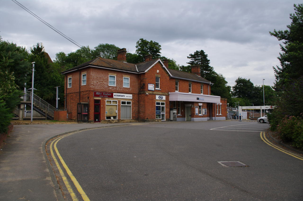
At the end of the lane, the North Downs Way turns right onto Otford's High Street and crosses the River Darent. Continuing along the High Street, the trail passes the Otford railway station (picture 20), where I left the trail for the day.
The total distance covered on the North Downs Way on this stage was approximately 19.2km.


