THE SAXON SHORE WAY
Stage 3: Rochester Castle to Gillingham Station
Friday, December 31st 2010
I walked this short section of the Saxon Shore Way on Friday, December 31st 2010. I spent the morning exploring Rochester, starting at the Guildhall Museum (picture 1). The museum describes the history of the Medway towns, focusing in particular on the maritime history and the prison hulks, and on the life of Charles Dickens, who used the Guildhall in Great Expectations.
I then took a stroll along Rochester's High Street (picture 2), where several more buildings bear plaques describing their associations with the works of Charles Dickens, including the two buildings in the foreground on the right of the picture (College Gate and Topes Restaurant), which both feature in the unfinished The Mystery of Edwin Drood (picture 3).
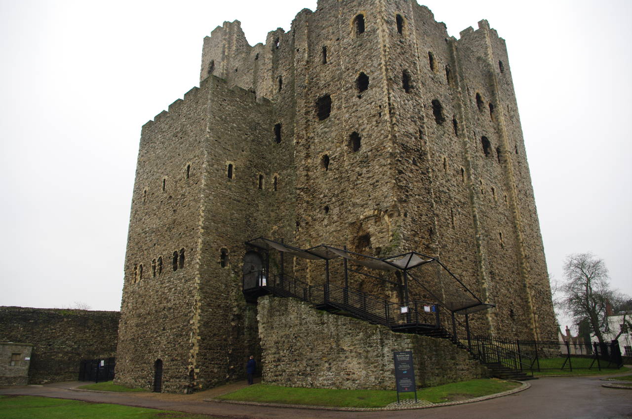
After a nice lunch in the Crown pub, at the top of the High Street, I returned to Rochester Castle. Steps in the gatehouse on Castle Hill lead up into the grounds, where the massive Norman keep, England's tallest at 34 metres, sits in one corner (picture 4).
Although there has been a castle on this site since Roman times, the current Norman structures were started in 1127 and modified over the following centuries before falling into disrepair. Large parts of the original curtain wall and the buildings that lined its interior side have long since vanished.
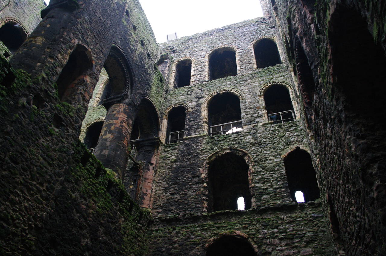
What remains of the keep is the stonework (picture 5), the wooden interior of the building having been burned out in the 16th century and never restored. One room in the keep houses a large model showing what the entire castle complex would have looked like in its heyday (picture 6).
A number of wooden viewing platforms have been erected inside the keep to allow viewing of the interior (picture 7). Additionally, the rough stone stairwells in the corner towers are still sufficiently intact to allow the visitor to climb to the upper levels of the keep (picture 8).
From the battlements at the very top of the keep (picture 9), there are good views over the Medway Towns in all directions. Looking up-river, I could make just make out the silhouette of the Medway Bridges (picture 10, taken with a zoom lens), which I had crossed while walking the North Downs Way in early August.
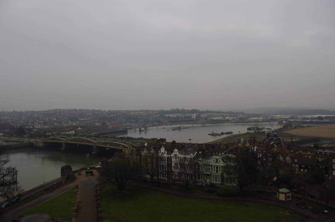
Looking downstream, one could see the buildings of the High Street and Rochester Bridge in the foreground and the towns of Strood and Upnor, where I had walked the previous day, in the distance (picture 11).
The opposite side of the battlements gives a magnificent view over Rochester Cathedral, and beyond to Chatham and Gillingham (picture 12). The Cathedral is even older than the Castle, construction having been started by Bishop Gundulf in 1080. Together, the Cathedral and Castle have dominated Rochester's skyline for almost 900 years.
Back at ground level, I rejoined the Saxon Shore Way in front of the Cathedral (picture 13). The route follows the road that goes around the right-hand side of the Cathedral, soon turning left into Minor Canons Row and then taking the next street to the right until it arrives at The Vines, a small park (picture 14). The route follows the concrete path diagonally across the park, passing a statue of a monk that has been carved from a tree that was felled during the famous storm of October 1987 (picture 15).
Leaving the park, the route continues along East Row and then uphill on Gravel Walk, crossing Delce Road before briefly turning right along the next road then crossing at an intersection into another, larger park. The paved path climbs gently past a childrens playground (picture 16) and some tennis courts before descending to pass in front of a brick building.
The path turns to the right beyond the building, going uphill briefly before turning left along another path over Fort Pitt Hill, which is topped by three large wooden arches (picture 17). Further along the path, a signpost indicates that the Saxon Shore Way turns left and descends towards New Road Avenue. This was the first waymarking I had seen since the eastern end of Rochester Bridge during the previous afternoon.
The route crosses New Road Avenue and descends the steep Hamond Hill (picture 18) to turn right into Chatham High Street. The route soon bears left into Medway Street, passing a house with what appears to be a WWII bomb in its front garden (picture 19). At the end of Medway Street, the route turns left into Globe Road. At the end of Globe Road the route turns left again into the A231 Dock Road, which it follows for about 700 metres, passing Fort Amhurst and some old barracks, before turning right up some steps to a footpath beside a tower block (picture 20).
At the top of the hill, the route continues ahead through a residential area, heading along Pleasant Row, which becomes Garden Street and then Sally Port, passing the King George V pub and soon The Cannon (picture 21) along the way. Along Sally Port, the houses on the left give way to a sports ground and soon after the houses on the right give way to an open area known as the Great Lines (picture 22), which was once the line of fire for cannons that defended the Chatham Dockyard.
When the path reaches the next road, it follows it to the left and then turns right into the Gillingham High Street, which becomes pedestrianized after one block (picture 23). There were many people in the High Street, contrasting with the route so far, where I'd seen very few people since leaving Gravesend.
After several blocks, the High Street reaches Gillingham Railway Station (picture 24), where I finished my walk for the afternoon, my GPS showing 5.3km covered since Rochester Castle.


