THE SAXON SHORE WAY
Stage 4: Gillingham Station to Lower Halstow
Saturday, January 1st 2011
I walked this section of the Saxon Shore Way on New Year's Day 2011. I started out at Gillingham Station at dawn, feeling a little under the weather after joining the celebrations in Faversham the previous night.
The route follows Railway Street beside the station and then turns left into Kingswood Road. At the end of this road the route turns right over a disused railway (picture 1), then continues down Parr Avenue until it reaches some fancy gates on a footpath that leads into Hillyfields Community Park (picture 2). The path heads around the left side of the park to Church Path, where the route turns left down Church Road and then right into Gillingham Green, which leads into the churchyard of St Mary Magdalene (picture 3).
The path heads downhill some distance past the church before turning left along a footpath leading out of the churchyard. Here the path followed a narrow footpath around a fenced off construction site. This path leads to a residential street that joins the A289 Pier Road. The route here turns to the left along Pier Road, though a signpost here incorrectly points the other way along the road to the right.
After a few hundred metres the route turns to the right into the Strand Leisure Park passing the swimming pool and following the promenade east along the bank of the Medway (picture 4).
The National Cycle Network shares the same route at this point. and looking beyond another of the fancy NCN signposts I could just make out the Kingsnorth Power Station across the river on the Hoo Peninsula (picture 5).
As the path along the riverbank leaves the Leisure Park, it is briefly diverted away from the water on a broad footpath between boatyards, soon returning to the river near a group of terrace houses, one of which has a very nautically themed garden (picture 6).
Soon the route once again diverts away from the river, around some old industrial buildings, following a footpath beside a corrugated iron fence for some distance before returning to the river's edge where the route follows an unsurfaced, but well-maintained footpath along the floodbank.
Soon the path enters the Riverside Country Park (picture 7), where it continues along a broad, even path near the water's edge for several kilometres. Along this section of the trail there were many people out walking and cycling despite the rather cold and gloomy weather.
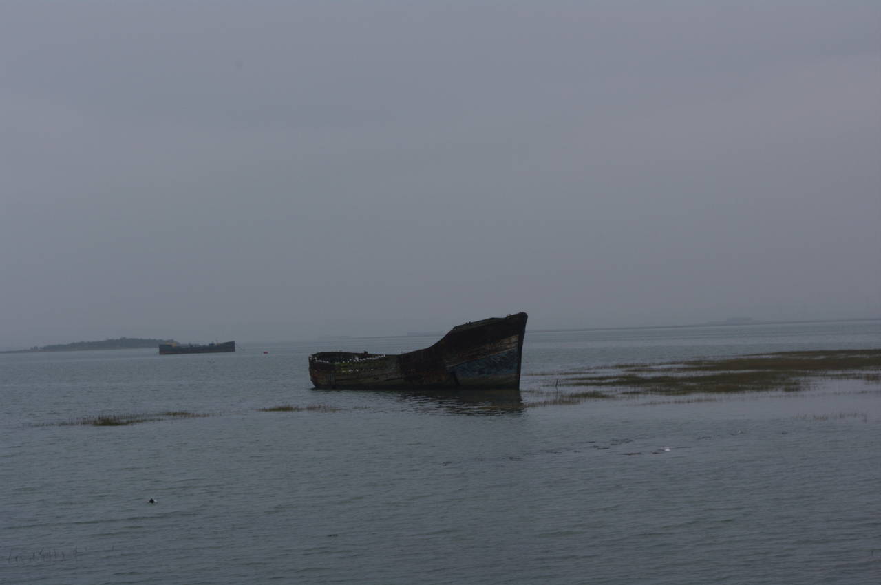
Beyond the Country Park, the path passes the remains of several old boats that are slowly decaying in the shallow water next to Rainham Creek (picture 8).
Soon the path turns to the left, following the floodbank along a peninsula towards the low Motney Hill (picture 9). After about 600 metres, the route leaves the floodbank and joins the road, cutting across the peninsula past some houses and then following the boundary fence of a sewage works back to the floodbank beside Otterham Creek (picture 10).
At the end of the creek, the route turns right and follows the fenceline of some industrial buildings, joining the driveway where the fence ends (although here a Saxon Shore Way sign points in the wrong direction into an orchard). At the end of the driveway, the route turns left into Otterham Quay Lane, which soon curves round to the right. Shortly after this, the Saxon Shore Way leaves the road to the left, climbing along a roughly fenced path (picture 11) to reach the corner of an orchard. The route marked on the Ordnance Survey map shows the route heading diagonally across the orchard, but there is no path there, so instead I turned left and followed two edges of the orchard to reach the opposite corner, where a gap in the hedge by a large metal tank leads out onto Horsham Lane and a waymarker that confirmed the route.
Following the narrow road for a few hundred metres past some houses in the village of Upchurch, the route passes The Brown Jug pub (picture 12), where I stopped for a pint and a snack.
The Saxon Shore Way continues along the road until a driveway forks off to the left. There's no waymarker at the fork in the road, but there is a marker disc on a post where the driveway becomes a farm track past a house. The route continues along the track with an apple orchard uphill to the right and Upchurch beyond, while to the left is a good view across the Horsham Marshes to Otterham Creek and the Medway (picture 13).
At the end of the track the route heads briefly to the left and passes through a gap in the hedge and then across a field to join a road at Wetham Green. The route follows the road to the left for a short distance before a sign hidden in the hedge directs the walker off the road to the right along a narrow path beside some horse paddocks. After passing some old stables, the path turns to the left, crossing a very muddy horse paddock between two metal kissing gates (picture 14).
The route then passes through another orchard before reaching a minor road at Ham Green, where a broken signpost (picture 15) obscures the fact that the trail turns to the right along the road for a few metres until another signpost points to the left past some houses and along Shoregate Lane.
At the end of Shoregate Lane, a footpath leads back onto the floodbank beside a small boatyard. The next section of the path along the top of the floodbank has large areas of marshy land below the floodbank to the left of the path (picture 16) and orchards to the right.
There were many signs along the floodbank advising of various types of hazards in the marshes. The sign in picture 17 warns of a sudden drop and deep mud.
Further along the floodbank, the path passes another old boat rotting away in the mudflats surrounding Halstow Creek (picture 18).
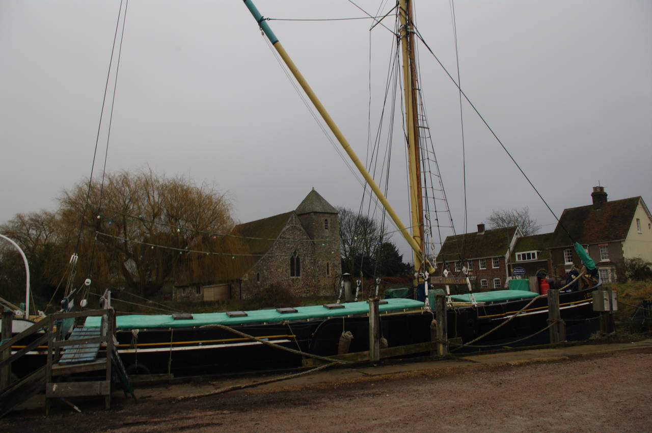
At the end of Halstow Creek the route passes a small wharf and then turns left along a minor road towards the church of St Margaret of Antioch on the edge of the village of Lower Halstow (picture 19). At this point I left the Saxon Shore Way for the day, having covered 17.5km of the trail according to my GPS.
Heading into the village I soon found the popular Three Tuns pub (picture 20), where I enjoyed a superb late lunch before catching a bus to Sittingbourne Station.


