SMUGGLERS' WAY
Stage 6: Jamaica Inn to Boscastle
Wednesday, May 16, 2018
I woke up refreshed after a sound night's sleep at Jamaica Inn, undisturbed by the smugglers' ghosts that are said to haunt the inn. Like the previous day, there was a thick early morning fog, and there had also been a little overnight rain. When I set off from the inn after breakfast, the rain had stopped but the fog seemed to be hanging around.
The Smugglers' Way gets to the other side of the busy A30 by following the road downhill to the north-east of the village (picture 1) then taking the first turn on the left to go through an underpass below the dual carriageway. The road circles left, but halfway around the circle a right turn soon followed by a left turn takes the Way onto a lane that runs beside the A30 to Bolventor's marooned church. Less than halfway to the church, the Way turns right over a stile and crosses a narrow field to a second stile, crossing it to head down the left side of two more fields (picture 2). Near the bottom of the second field the boundary dog-legs left to reach a gate by a driveway below farm buildings.
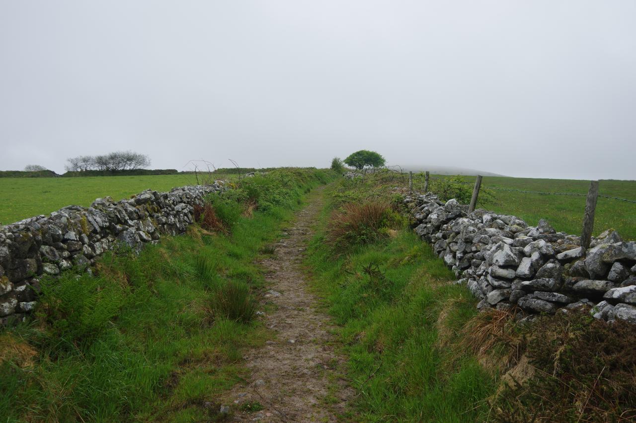
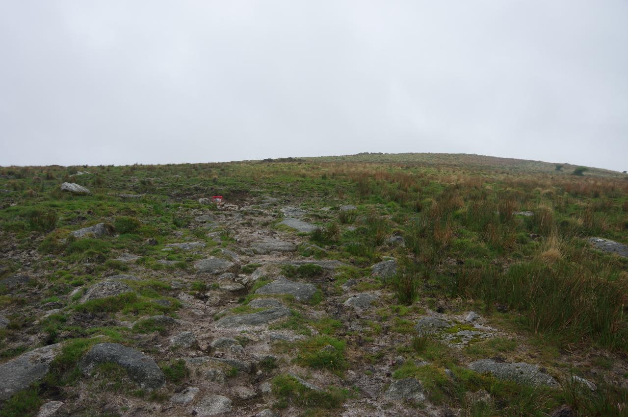
The Way follows the driveway up through a metal gate and then turns through a second gate on the right, opposite the main farmhouse. A rough, stone-walled track now makes a long climb between fields (picture 3), eventually ending at a gate in a corner of the rather bleak-looking Tolborough Downs, some distance below Tolborough Tor (picture 4).
All evidence of a path soon vanishes as the Way bears slightly left to head north-west across the hillside, passing about 100 metres to the left of Tolborough Tor. About halfway across Tolborough Downs, the peak of Catshole Tor comes into view ahead and walking towards it leads to a corner where three wire fences meet. Through a gate, the Way follows a fence that climbs to the right of Catshole Tor (picture 5). A low earthwork parallels the fence and in places it was easiest to walk on top of it to avoid muddy patches beside the fence.
Beyond Catshole Tor, the path starts to descend along the edge of Catshole Downs, and here I noticed the fog starting to get thicker (picture 6). About 1500 metres beyond Catshole Tor, the Way finally turns through a broken wooden gate in the wire fence and begins to climb an obvious grassy path up a gentle slope.
About 300 metres over to the right of the Smugglers' Way is Fowey Well, a spring that is the official source of the River Fowey by virtue of being the head of the longest of the six tributaries that feed the river.
Up ahead, completely hidden in the fog was the ridge of Brown Willy, though fortunately the grassy path reaches the foot of the ridge before petering out. The climb up the side of the ridge, while similar in elevation and steepness to the previous day's climb up Kilmar Tor, was much easier as there was more grass and fewer boulders, though visibility was getting poorer as I climbed higher (picture 7).
Eventually I reached the top of the ridge, a little to the south of the cairn that stands on Brown Willy's 420-metre summit (picture 8), marking the highest point in Cornwall.
I climbed up to touch the trig pillar next to the tower of stones on top of the cairn (picture 9), bagging my fourth county-top.
Experts seem to disagree on the origin of the name of Brown Willy. Some argue that it is a corruption of the Cornish bronn ewhella, meaning "highest hill" while others suggest bronn wennili, meaning "hill of swallows". Either way, I saw no swallows, just lots of fog.
I was beginning to wonder if I was destined never to see the view from Brown Willy's summit, as I had tried to visit back in 2015 and had met similarly bad weather then. On that occasion I had tried to walk over from Camelford and got as far as Rough Tor, on the next ridge north from Brown Willy, when a thunderstorm arrived. Having found a family of German tourists who were unprepared for bad weather and lost in the fog, I had decided to abandon my walk and guide them back to their car rather than leaving them sheltering from an electrical storm on the high ground of the tors. This time I at least made it to the top of Brown Willy, but the views, which are supposed to be among the best on Bodmin Moor, will have to wait for another time.
A fairly obvious path starts to descend northward from the summit, passing through a gap in a low stone wall and bearing left down a rough, grassy slope to a gate by a redundant stile. This is quite different to the route marked on the OS map, which didn't seem to exist on the ground.
By now the summit of Brown Willy had completely disappeared into the murk behind me but visibility ahead was getting much better and I could see the outline of Rough Tor across the valley (picture 10). The path goes through the gate and continues down into the valley, aiming towards Rough Tor. On the way down to the little bridge over the infant De Lank River, which rises further up the valley to the right, I was passed by a hill-runner going quite rapidly in the opposite direction, seemingly unperturbed by the fog or the uneven surface.
The path climbs towards Rough Tor beside a stone wall for a little while before the wall turns away and the path disappears, leaving one to choose one's own course the rest of the way up through the rocks to reach the top of the ridge (picture 11). Eventually I made it and scrambled over countless granite slabs and boulders to climb onto the highest granite stack of Rough Tor (picture 12), the second highest peak in Cornwall at exactly 400 metres above sea-level.
After attempting to admire the view towards Stannon Lake, still rather hampered by the fog (picture 13), I spent about half an hour exploring around the large tor and the impressive row of granite stacks that descends the hillside just south of the peak (picture 14). In Neolithic times, the tor was encircled by a stone wall, perhaps similar to that at Stowe's Pound, but the remains of this are now much harder to pick out. Within the enclosure, the remains of hut circles can be seen.
The Ordnance Survey map also indicates that there is a memorial hereabouts, but doesn't show the precise location and I didn't know what I was looking for, so I didn't manage to find it. I later discovered that the memorial is a small plaque on the side of a granite slab, commemorating the members of the 43rd Wessex Division who perished in World War II.
Eventually, after pausing to look across the valley to Brown Willy, which was gradually emerging from the fog (picture 15), I set off along the ridge in the direction of Little Rough Tor and Showery Tor (picture 16).
The Way passes just to the right of the summit of Little Rough Tor (picture 17), just ten metres lower than that of Rough Tor, and then bears slightly left to cross a grassy dip to Showery Tor (picture 18), another five metres lower again.
From the summit of Showery Tor there is a good view back to Little Rough Tor and Rough Tor (picture 19), while ahead the Smugglers' Way descends across open moorland (picture 20), ignoring the obvious path that runs toward the left edge of Roughtor Plantation and instead heading for the right-hand edge.
A gate by the corner of the plantation gives access to a muddy track along the edge of a rough paddock just outside the plantation (picture 21). The marshy source of the De Lank River is away to the right, but the Way follows the track to another gate by the next corner of the plantation. From there the top of Lanlavery Rock is is visible over a low rise and the Way heads straight for the rock (picture 22).
Leaving Lanlavery Rock, the Way heads north-east across springy turf, approaching a distant field boundary at an angle and joining a rough track beside it (picture 23), soon leading to an easier gravel track heading northward across Davidstow Moor (picture 24).
The track eventually meets a quiet lane and turns left along it towards the RAF Davidstow Moor airfield. The airfield was hastily constructed in early 1942 and was used by British and Canadian squadrons until the end of World War II. In the early 1950s the airfield was briefly revived as a motor-racing circuit and hosted three Formula One races. Today, part of the airfield is used by members of the Davidstow Flying Club, who fly microlight aircraft.
To the left of the lane, the southern half of the airfield stretches into the tall timber of Davidstow Wood, where spaces for runways, taxiways and aircraft parking were cut out of the forestry plantation just a decade after it was planted. Where the first runway crosses the lane, I turned right along the crumbling concrete, across the main runway and over grass to the derelict Air Traffic Control building (picture 25). After pausing for a brief look inside, I turned along the taxiway behind the building, following it past various abandoned support buildings to rejoin the lane as it angles across the western end of the airfield,
Now leaving the northern edge of Bodmin Moor, the lane runs between fields before passing the RAF Davidstow Moor Memorial Museum and Cornwall at War Museum (both closed when I passed) and then the Davidstow Creamery (picture 26), a large dairy factory.
Ahead, the lane goes through a crossroads with the A395 and then a second crossroads with the busier A39 before meandering through peaceful farmland and past the source of the River Camel to reach a T-junction at the end of the lane after almost two kilometres. The Way turns left along the lane then takes the first right turn, on another lane that bends left in front of the entrance to Halwill Barton (picture 27).
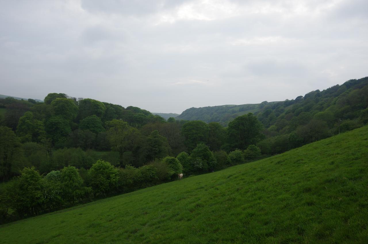
Just around the bend, a Public Footpath sign points over a stile, heading diagonally across two fields, bearing right halfway across a third field where there is a view into the upper Valency Valley (picture 28).
Descending across a fourth field of knee-high grass, the Way reaches a stile on the edge of Hallwell Plantation (picture 29) and descends through the small wood to meet yet another lane. to the right, just around a bend, the Way leaves the lane and heads up the driveway of Tregrylls beside a small stream. Immediately before a bridge (picture 30), a bluebell-lined footpath on the right runs beside the stream for a while before crossing it via two little duckboard footbridges. The path soon turns right and right again at a rather worn looking Cornish cross (picture 31) and soon crosses back over the stream and continues through bushes, still lined by colourful bluebells. A short tunnel of foliage leads from a wooden stile to a stone stile opening onto a large field on a hillside above the hamlet of Lesnewth, with the tower of St Michael and All Angels' Church poking above the trees straight ahead (picture 32). The churchyard is reached by descending across three fields, aiming just to the right of the tower to find the stiles between them and then heading straight for the tower once in the final field.
The church was unlocked so I stopped for a quick look inside before walking past the tower to leave the churchyard (picture 33) and crossing the village street to follow a lane past a few houses (picture 34) to a gate where the lane becomes the driveway of Halamiling Farm (picture 35). The driveway makes a long descent into the Valency Valley, sweeping gradually left before it crosses a cattle grid and heads down between the buildings of Halamiling Farm (picture 36).
When the tarmac ends at a carport, the Way goes down a track that curves behind the carport to a wooden gate and then descends a grassy slope to a footbridge over the River Valency (picture 37). This encounter with the river is brief, however, as the Way climbs steeply through a gap in a field boundary and up the right-hand side of a large field before turning left along the top of it, following the direction indicated by a very rusty public footpath sign for Newmills. There is a good view down the wooded Valency Valley from the top of the field (picture 38) before the path goes through a gate and into woods.
The path descending through the woods soon reaches the hamlet of Newmills, merging into a lane and soon meeting a sharp bend in the lane that zigzags down to the side of the valley to the handful of houses. The Way takes the lower track and very soon reaches another fork where it takes the upper track to a wooden gate and then crosses the yard of a sheltered cottage (picture 39) and heads back into the woods, now right beside the River Valency.
The path follows the shallow river down the valley, with many places to stop and watch the water tumbling down the rocky riverbed, including at a sturdy footbridge signposted for Minster Church (picture 40).
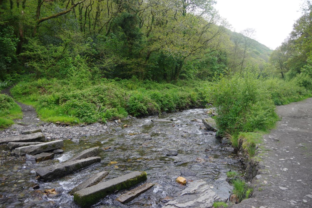
It was getting quite late, so I decided to leave a visit to the church for another day and continued alongside the river through Minster Wood, where a stretch of the riverbank was carpeted with wildflowers (picture 41). A little further downstream I passed what I assume to be makeshift stepping stones (picture 42) and about ten minutes later I reached a large carpark by the river on the edge of Boscastle.
At the downstream end of the carpark, the Way crosses the B3263 and heads down the narrow, cobbled Valency Row, bypassing the shops on the main road in favour of whitewashed old houses. The Way returns to the riverbank, now lined with stone walls, in front of an ancient limekiln (picture 43) and passes the National Trust visitor centre and the Museum of Witchcraft before crossing a footbridge to the other bank, and ever so briefly meeting the route of the South West Coast Path for the first time since leaving Looe.
The final stretch of the Smugglers' Way runs down the left side of Boscastle's sheltered little harbour and crosses an expanse of slippery slate (making a change from the granite of Bodmin Moor) to climb onto the medieval stone harbour arm that stretches halfway across the River Valency. The river itself meets the wild Atlantic Ocean just around the next bend that shelters the harbour from the worst of the waves and also sheltered it from the view of passing ships and made it a favourite haunt of smugglers in past centuries.
At the end of the walk my GPS showed 25.7 kilometres walked for the day, making 82.7km for the entire Smugglers' Way, including both branches across the southern half of Bodmin Moor. Despite the vaguaries of the English weather this had been a very satisfying and worthwhile walk with a lot of variety, though I would very much like to see the views from Brown Willy and Rough Tor in good weather one day.
From the end of the Smugglers' Way it was just a short walk back up to the main road and the Riverside Hotel, where I was staying for the next three nights. The extra days gave me a chance to do a couple of circular walks to visit some of the nearby sights that I hadn't had time to see when I walked through Boscastle on the South West Coast Path. Fortunately, the weather was more favourable for the extra days.
About an hour's walk south-west along the Coast Path is Rocky Valley (picture 45), where a small stream flows to the sea. A path leads up the valley, which soon becomes sheltered, lush and green by the time it passes an abandoned mill. Further up the valley is St Nectan's Glen, where for a small fee those willing to get their feet wet can walk right up to the waterfall that feeds the valley (picture 46).
Another hour's walk down the coast from Rocky Valley is the famous promontory of Tintagel Head (picture 47), with it's ruined 13th-century castle and strong connections to the Arthurian Legend, which the village of Tintagel, a short distance inland at the top of a deep valley, makes the most of. In clifftop fields just across the valley, the 11th-century church of St Materiana (picture 48) sits on the site of a 6th-century Saxon church.
A further hour's strenuous walk beyond Tintagel is the sandy beach of Trebarwith Strand (picture 49) from which a small settlement stretches up the long valley (picture 50) to the Millhouse Inn.
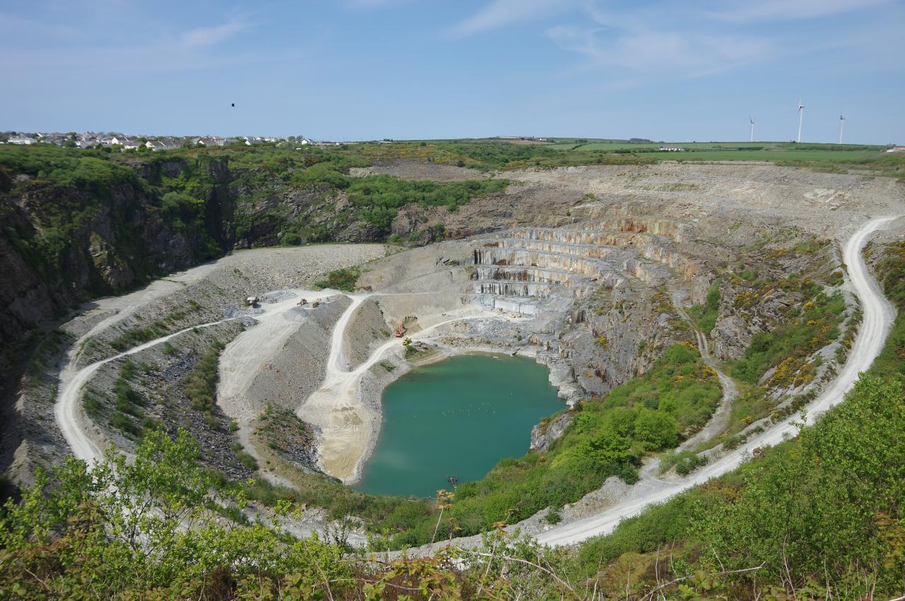
One final hour's walk along the coast is the quieter Tregardock Beach (picture 51), with views all the way to the mouth of the Camel Estuary and a large expanse of sand that I had all to myself for a couple of hours. Inland across green fields is the Poldark Inn and the village of Delabole, whose neighbouring slate quarry (picture 52) has been in continuous operation for more than 500 years. Before the advent of large-scale open-cut mining in the 20th-century, the quarry was the largest man-made hole in the world; 150 metres deep and more than two kilometres around the perimeter.
Back in Boscastle, the coast path climbs high above both sides of the harbour. The best views back up the valley are early in the morning (picture 53) or late in the afternoon (picture 54). The path on the east side of the valley also has good views of the zigzag harbour entrance that hid the goings-on in the harbour from prying eyes during the era of smugglers (picture 55). The coast path just west of the harbour was also a perfect viewpoint for a spectacular sunset over calm seas on my last evening in Boscastle (picture 56).


