SOUTH DOWNS WAY
Stage 3: Southease to Devil's Dyke
Friday, July 8, 2011
This stage of the South Downs Way was to be my last day's walking in England for this trip and I wasn't really looking forward to the 24 hour flight home the following afternoon. After five weeks spent hiking along the Thames Path, the 1066 Country Walk and the South Downs Way, home and work seemed a long way away as I caught the branch line train from Lewes back to the small Southease Station.
As I set off on the walk it was quite overcast and it looked like the weather could go either way. Overcast conditions generally make for comfortable walking, so as long as the weather didn't get any worse I would be happy.
From the level crossing at the end of the station platform, the South Downs Way follows the rough farm road alongside the platform before bending to the right and following a long, straight stretch of track up to an elevated bridge that crosses over the River Ouse (picture 1). In the distance ahead, beyond the village of Southease, I could see the outline of Mill Hill, which would be the first climb of the day's walk. There were also good views up and down the River Ouse (picture 2), which had seemed more substantial when seen from a distance the previous afternoon.
Dropping down from the bridge, the narrow road continues ahead across the flood plain of the River Ouse and through the ring of trees that surrounds the small village of Southease. The road passes by the triangular village green and then by the small Saxon church (parts of which date back to the year 966), with its unusual 12th-century round tower (picture 3), one of only three in Sussex.
The Way continues along the road, soon reaching a T-junction where a fingerpost points to the right along a minor road. Barely fifty metres along the road is another junction, where the route crosses to a wooden gate from which there are good views ahead across the shallow valley of Cricketing Bottom towards Rodmell Hill House (picture 4), which sits on the opposite ridge on the edge of the village of Rodmell.
From the gate, the route follows a well-worn path downhill through scrub to turn left onto a farm track which runs along the valley floor of Cricketing Bottom with various crops covering the sides of the surrounding hills (picture 5). After eight-hundred metres the route turns right through a five-bar gate towards Mill Hill and begins to ascend gently (picture 6). After another one-hundred metres, the path bears right through another gate and climbs more steeply, following a wire fence up to the top of Mill Hill, with views off to the left of the path over the farm buildings in Cricketing Bottom (picture 7).
At the top of the hill, the path approaches the tall metal gates of a private house at the end of Mill Lane. From here, the path follows a narrow enclosed path to the right of the gates. Having climbed out of the sheltered valley, the strong winds that had accompanied me for much of the previous day's walk were howling through the trees and hedges surrounding the path. After a few minutes I emerged into open fields via a wooden gate with the next section of path along the ridge stretched out before me (picture 8).
At first, the path descends gently beside a fence, passing through two wooden gates on either side of a vehicle track. At this crossing, my GPS showed that I was crossing the Greenwich Meridian. From here the path begins a long gentle climb up Front Hill, following the right edge of the field up to a gate where the route joins a crumbling concrete path which runs over the top of Front Hill and on towards Swanborough Hill. Along this part of the path the sun broke through for the first time in the day (picture 9).
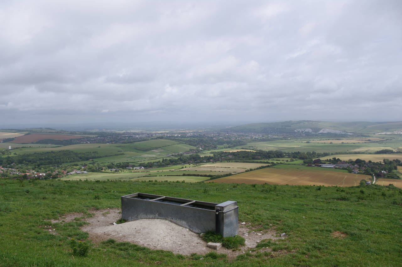
After around one and a half kilometres, the concrete path turns left and the Way turns right, heading downhill briefly before turning left through a gate to resume following the edge of the ridge over Swanborough Hill. The path initially runs northwards for a short distance before bearing left by a cattle trough. From this point there are good views northeast across the Ouse Valley towards Lewes and Mount Caburn (picture 10).
The next section of the ridge-top path runs northwest above the town of Kingston-near-Lewes, which sits at the northern foot of the downs below Kingston Hill (picture 11). The ground to the right of this part of the path drops away steeply towards the town into a series of deep combes (picture 12).
Leaving the combes behind, the path moves away from the edge of the escarpment and crosses the grassy Kingston Hill, soon passing by an old dry dew pond surrounded by a railing fence (picture 13). A few hundred metres further, the path bends around two more dried out dew ponds and heads southwest along Juggs Road, an ancient track which ran between Lewes and the coast. The grassy Juggs Road seemed to be quite popular with cyclists and I was passed by several of them (picture 14) as I followed the "road" along the edge of the escarpment, where once again the ground to the right falls away into Cold Coombes.
In one of the combes stands a solitary wind turbine that powers the Falmer Gas Pressure Reducing Station. Just beyond the driveway of the pressure reducing station, the Way bears right and leaves Juggs Road to follow a wire fence over the ridge and then downhill for five hundred metres towards the trees of Newmarket Plantation (picture 15). On the edge of the plantation the path bears right again and continues the long, gentle descent into the valley that is occupied by the Lewes to Brighton railway line and the A27 road. From this path I was able to see across Cold Coombes and back along the ridge I had just walked (picture 16).
About a kilometre from Newmarket Plantation, the path bears left through a gate and descends steeply through a band of trees. Soon emerging above the right edge of another field, the path continues downhill, turning left at the corner of the field and running for a short distance along the bottom of the field before reaching an arch under the railway embankment, over which a train was passing when I arrived (picture 17).
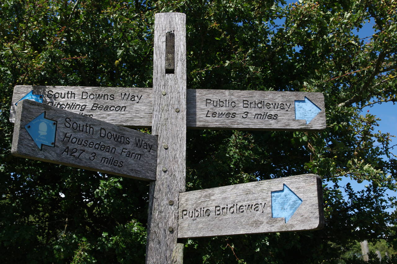
On the other side of the railway line, the path runs west parallel with the embankment, a short distance uphill from the busy A27. After about 500 metres the footpath joins a minor lane which soon turns right and crosses above the dual carriageway (picture 18). Once over the narrow bridge, the Way follows the lane back to the east, passing the entrance of Housedean Farm and joining a footpath beside the A27 for a short distance until the stone wall of the farm ends and a fingerpost points up some rough steps and along the edge of a wheat field, climbing the aptly-named Long Hill.
After around 500 metres of steady climbing, the path enters the trees of Bunkershill Plantation and follows an enclosed path which soon curves around to the right. When the path emerges from the woods (picture 19), it drops down a little before climbing again onto the wide open space of Balmer Down.
After about 400 metres walking between trees and a wire fence, the path passes through a gate and reaches a fingerpost which points at a right angle to the left, roughly northwest. From here the path climbs gently across Balmer Down just to the right of a wire fence and soon passes another dried out dew pond (picture 20).
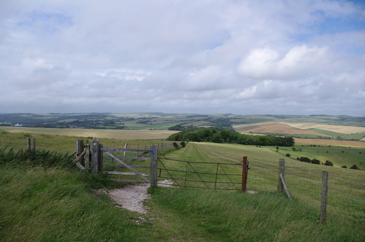
The path continues ahead across the rolling hills of Balmer Down for another one and a half kilometres, heading slightly downhill to pass through two five-bar gates (picture 21) before following the fence-line uphill again to pass close by an electricity pylon. About a hundred metres after passing under the power lines, the South Downs Way reaches a gate and turns right to follow a worn path between wire fences for a little over a kilometre to reach a junction of paths at The Beeches on the edge of the National Trust's Blackcap property (picture 22).
At the junction, the Way turns sharply left, following a broad chalky track due west across a plateau known as Plumpton Plain (picture 23). This part of the downs is prime grazing land and there were many small groups of cattle on both sides of the path (picture 24).
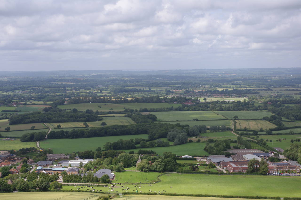
After about one and a half kilometres, a track called Plumpton Bostal comes up from the nearby village of Plumpton to meet the South Downs Way and from this point there are good views to the north over Wales Farm, the nearby Agricultural College and beyond towards the North Downs in the far distance (picture 25).
The Way continues ahead along the northern edge of the downs, crossing Streat Hill and heading out along Western Brow towards the next peak at Ditchling Beacon. Along this stretch of the path the weather changed quite dramatically, with some very dark clouds rolling in from the east, and in the space of ten minutes it had changed from bright sunshine and blue skies up ahead to a rather more ominous scene (picture 26).
Getting closer to the flat plateau of Ditchling Beacon, two and a half kilometres from Plumpton Bostal, the sky was looking a bit more promising (picture 27). Ditchling Beacon is another National Trust property and is quite popular, with regular buses coming up from Brighton. There were quite a number of people wandering along the path in both directions as I approached the National Trust car park (picture 28).
Just before the car park, the path passes by yet another dried out dew pond and crosses the narrow but busy Ditchling Road to reach the car park, where I found an ice-cream van and decided to indulge.
From the car park, the South Downs Way follows a well-trodden path northwest to the summit of Ditchling Beacon, at 248m above sea level. Looking back to the east, I could see the sun now shining brightly on Western Brow where I had just walked, while the Beacon was still in the shadows of the dark clouds (picture 29).
Once over the top of Ditchling Beacon, the path continues roughly west over the rolling hills (picture 30), passing a dried out dew pond before reaching a second, Burnt House Pond, which has been restored (picture 31). Across one more field, the path passes by the Keymer signpost (picture 32), which marks the border of East and West Sussex.
In West Sussex now, the path begins a long and gradual descent, with Wolstonbury Hill and the long valley of the Devil's Dyke in the distance ahead (picture 33). After a while the track is lined on both sides by hedges, restricting the view (picture 34). Along this track I was passed by at least a dozen runners scooting up the hill in the opposite direction.
When the hedges end, the track reaches a junction with Mill Lane (picture 35), turning sharply left to follow the lane downhill to New Barn Farm. (Unfortunately, I completely missed the fact that there is a pair of windmills just a couple of hundred metres along the lane in the other direction or I would have made the small detour to see them up close.)
The South Downs Way follows the lane south between the stables and other farm buildings of New Barn Farm to the next junction of paths. Here a fingerpost that was mostly hidden in the foliage pointed along the right-hand path which continues downhill for a kilometre beside the Pyecombe Golf Course (picture 36) to reach the carpark next to the club house.
From the golf club carpark, the route heads down the driveway to a make a fairly dangerous crossing of the busy A273 Clayton Hill road, turning left to follow a narrow footpath parallel to the road but behind a hedge for about fifty metres before emerging by the end of School Lane on the edge of the village of Pyecombe. The Way follows School Lane uphill to the centre of the village, continuing ahead over a crossroads and taking the narrow Church Hill (picture 37) back downhill to a bridge over the main A23 road (picture 38), which carries traffic towards Brighton on the coast.
On the other side of the A23, the Way turns south, following a minor road parallel to the A23 and past the buildings of the large Brendon Saddlery. After about 300 metres, the road forks and the Way turns right. This would have been an easy turn to miss if I hadn't been paying close attention, because the fingerpost indicating the turn is completely hidden on the wrong side of a large tree that was covered in bright purple flowers to the left of the road.
The road passes a cottage and then ends at a wooden gate, where the Way begins to climb a steep chalky footpath. Reaching a second gate, the path enters the National Trust's Newtimber Hill property (picture 39), where the path continues to climb. Pausing for breath half way up the hill, I found that there were good views back over the saddlery and the village of Pyecombe (picture 40).
Reaching the top of Newtimber Hill after a kilometre of steady climbing, there are good views ahead to the grassy slopes of the Devil's Dyke and beyond to the three tall radio masts which the next stage of the walk will pass by on the top of Truleigh Hill (picture 41)
The Way soon descends across more fields before a path through a small patch of woodland (picture 42) leads down to a lane passing through the small hamlet of Saddlescombe (picture 43). When the lane bends to the left, the Way continues ahead through a wooden gate and then bears left after about thirty metres and heads downhill towards the cottage of Saddlescombe Farm, with the grassy slope of Summer Down in the background (picture 44).
Following the farm's driveway to the right of the cottage, the route bears left across a road to reach a small carpark at the foot of Summer Down. The Way goes through the carpark and follows a well-trodden path uphill through trees for a short distance before the path turns right and heads west across an open area of Summer Down (picture 45) before the path becomes enclosed by scrub.
For the next kilometre, the path runs parallel to the deep dry combe of the Devil's Dyke, but the thick scrub offers only occasional views of this spectacle (picture 46). Along this path there were several groups of cattle grazing among the bushes (picture 47).
Eventually the path crosses Devil's Dyke Road and continues ahead across the grassy plateau of Fulking Hill. Reaching the next road, I left the South Downs Way (picture 48), having walked 28.8km from Southease Station.
Following the road to the right past the end of the Devil's Dyke, I soon reached the large Devil's Dyke Hotel (picture 49), where I stopped for a nice meal and a pint of ale.
When I emerged after an hour or so, I found that I had to wait about 45 minutes for the last bus of the day to Brighton, so I wandered across the grassy hillside in front of the hotel to admire the view ahead towards Truleigh Hill and over the village of Fulking (picture 50). That didn't take very long, so I also wandered the other way to take some more pictures of the Devil's Dyke, the floor of the large combe now cast in shadow by the setting sun (pictures 51 and 52).
The bus duly arrived and it was a short fifteen minute journey to Brighton Station, from which it was a rather longer journey back to my accommodation in Eastbourne, where I hastily packed for the next morning's trip back to London and then home to Brisbane.


