OFFA'S DYKE PATH NATIONAL TRAIL
Stage 3: Monmouth to Pandy
Wednesday, June 5, 2019
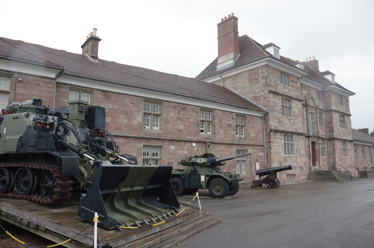
(1) Castle and Regimental Museum
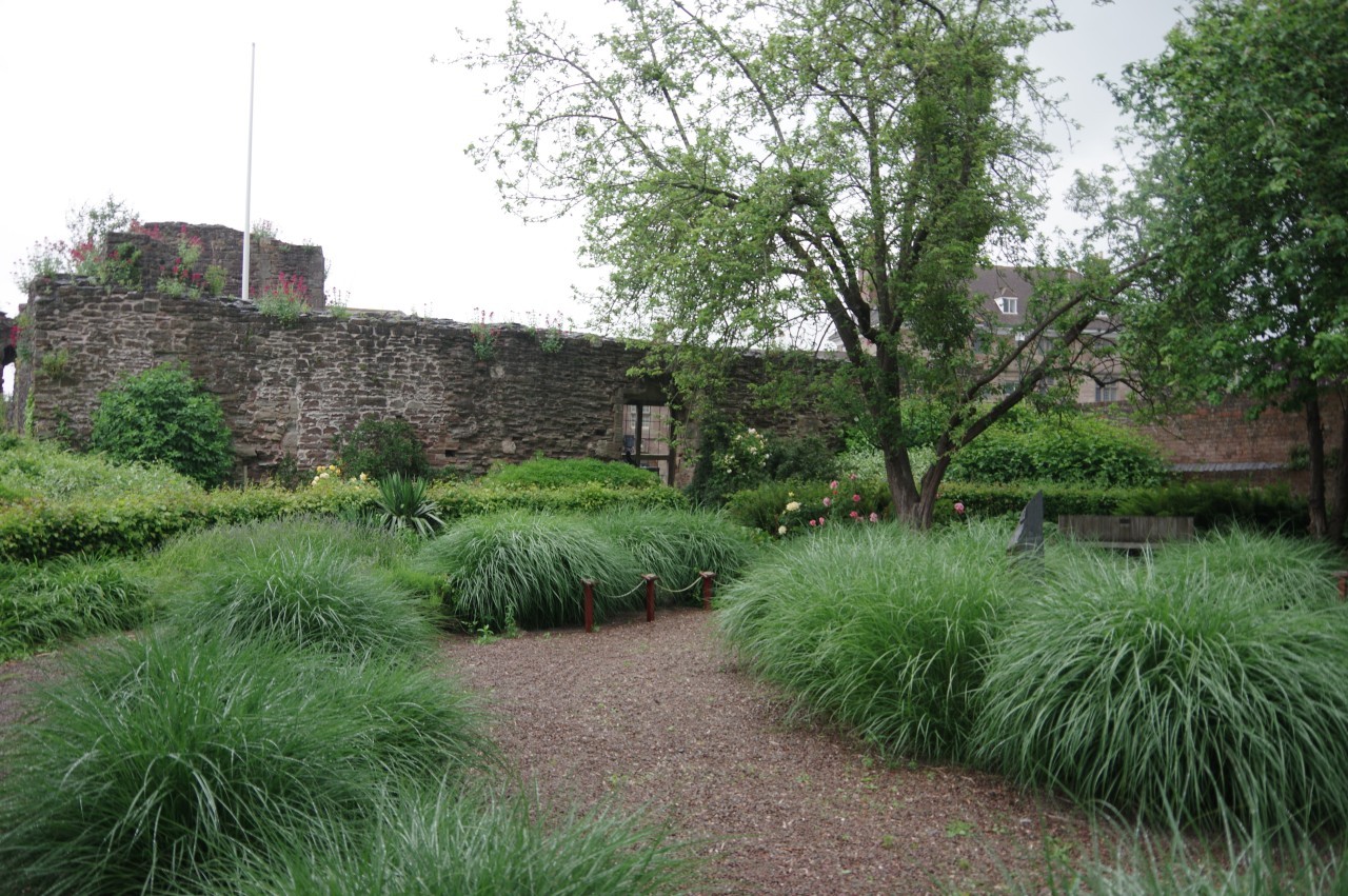
(2) Garden of Remembrance
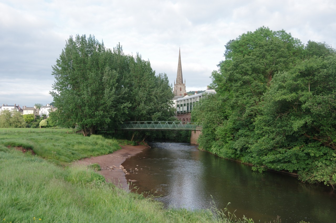
(3) River Monnow
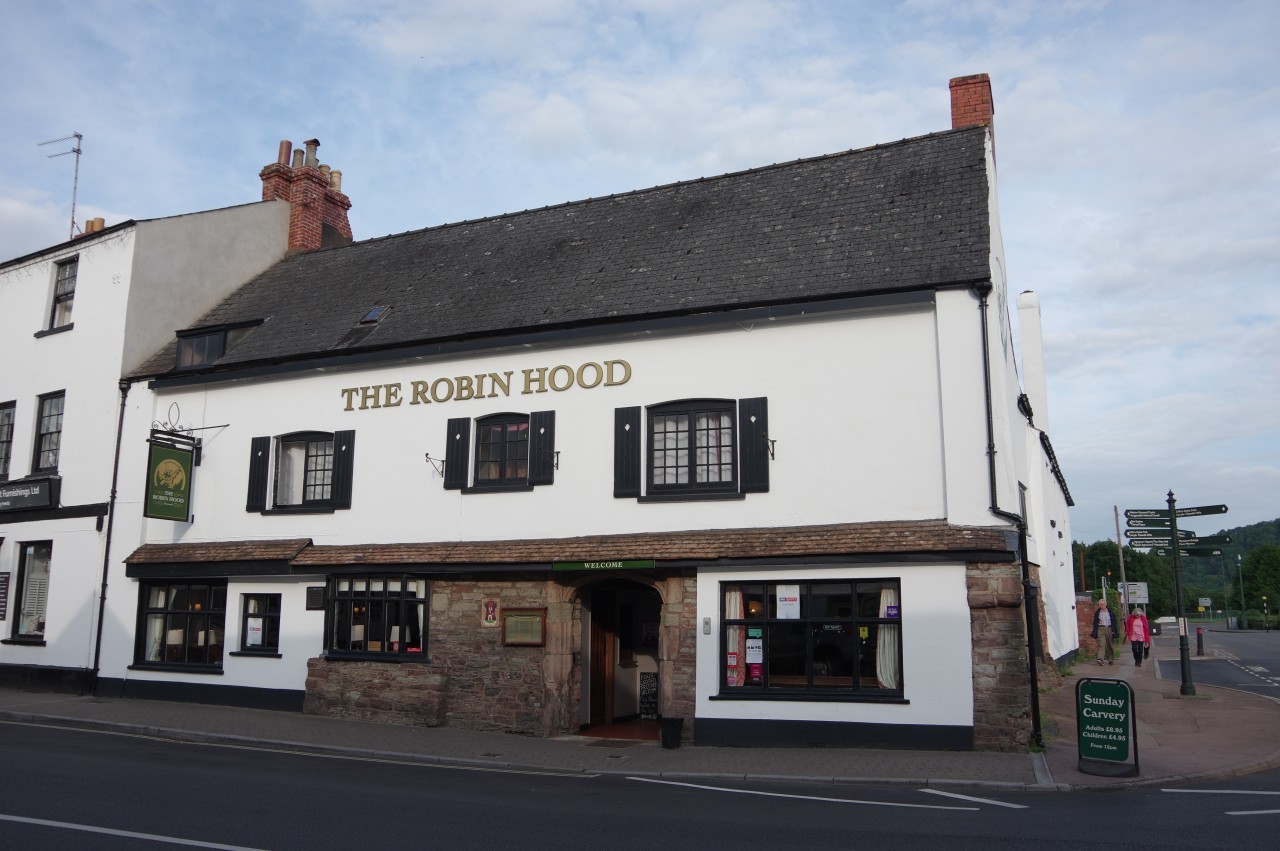
(4) The Robin Hood
For the second time in three days, I woke to the sound of heavy rain and decided that it was wiser to wait for better weather to tackle the long walk up to Pandy. Fortunately, Monmouth has plenty to occupy a walker who is cooling their heels, including the Monmouth Museum and the Castle & Regimental Museum, housed in Great Castle House (picture 1), adjacent to the ruins of Monmouth Castle. The regiment in question is the Royal Monmouthshire Royal Engineers, the oldest reserve regiment in the British Army, originally formed in 1539.
Monmouth Castle was established shortly after the Norman Conquest. It was briefly used as a prison for the deposed King Edward II in 1326 and was the birthplace of King Henry V in 1387 before eventually being partially destroyed after the Civil War to render it useless as a fortification. Only a fraction of the original castle complex is still visible. Part of what remains now contains the Garden of Remembrance (picture 2), a memorial to Welsh army reservists.
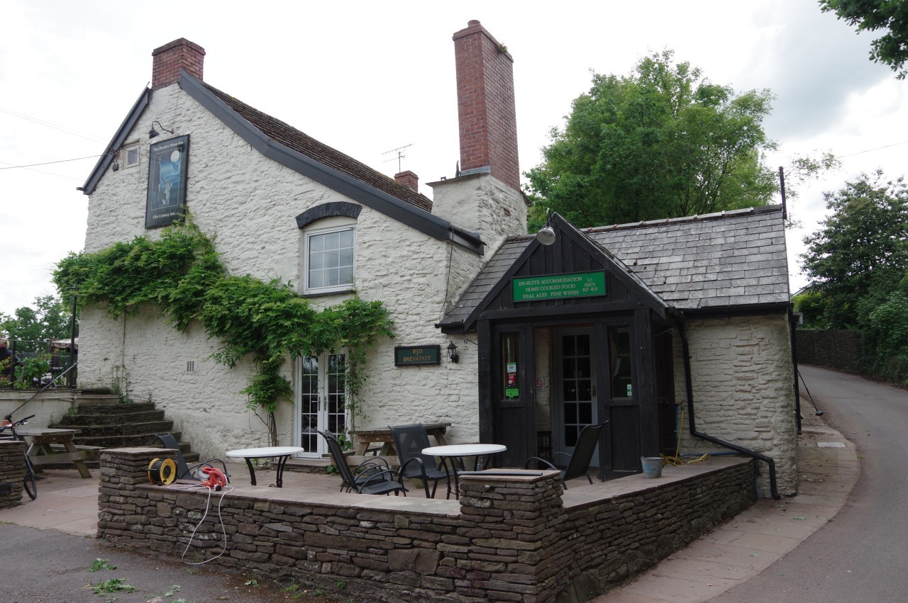
After seeing a movie at the Savoy Theatre, the weather had abated enough for me to go for an evening stroll along the River Monnow in Vauxhall Fields (picture 3), to the west of the town centre. On my way back down Monnow Street, I stopped for dinner at the Robin Hood pub (picture 4), where a blue plaque states that the pub is one of the oldest buildings in town, with parts dating from the 1500s. Monmouth has always been a town with plenty of pubs. At the dawn of the 20th Century, Monmouth had more pubs per capita than any other British town.
When I returned to my tent at the caravan park, there was no sign of the cat that had visited me the night before, but when I was packing up the following morning, I spied a black tail poking out under the flap of another tent. Cats can be fickle creatures.

(5) Monnow Bridge
(6) Monmouth Millennium Mosaic
(7) Church of St Thomas the Martyr
(8) Watery Lane
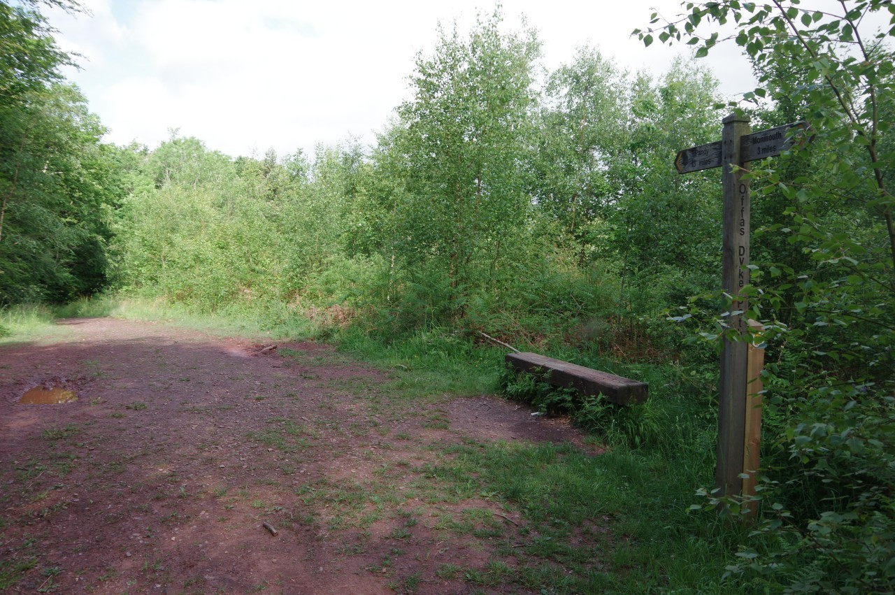
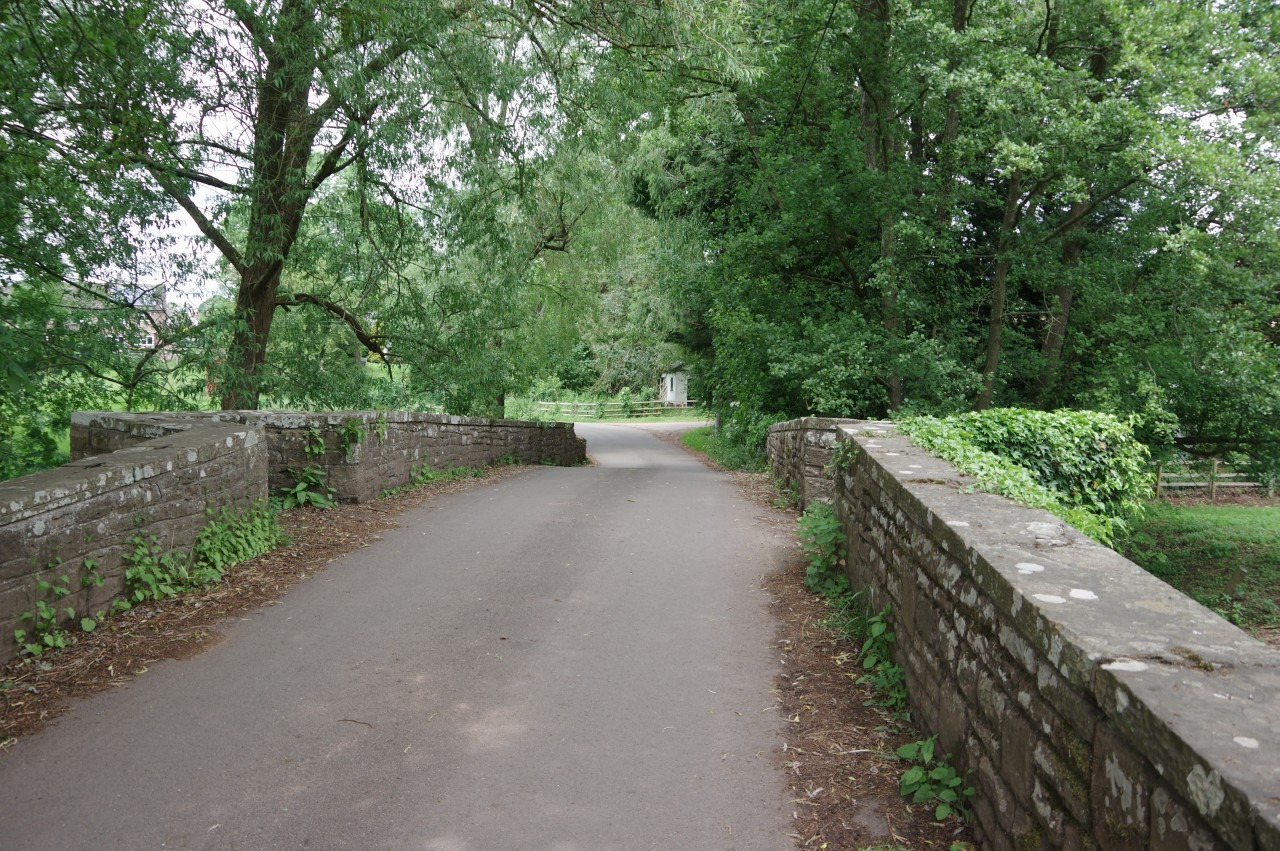
At around eight o'clock, I set off from the gatehouse on Monnow Bridge (picture 5). The sky was still rather gloomy, but the weather forecast claimed that further rain was unlikely.
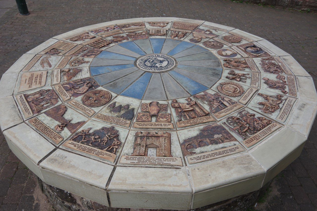
Near the Overmonnow end of the bridge, the twenty-sided pedestal of the Monmouth Millennium Mosaic provides a crash course in local history in words and pictures (picture 6).
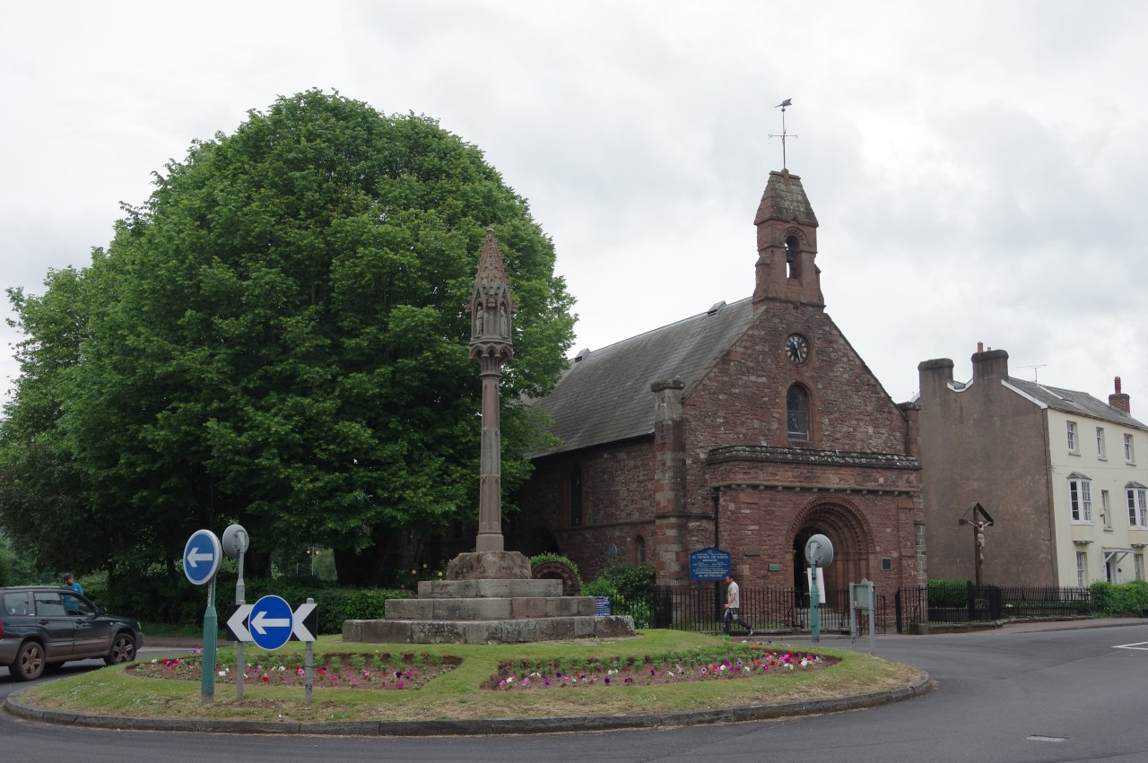
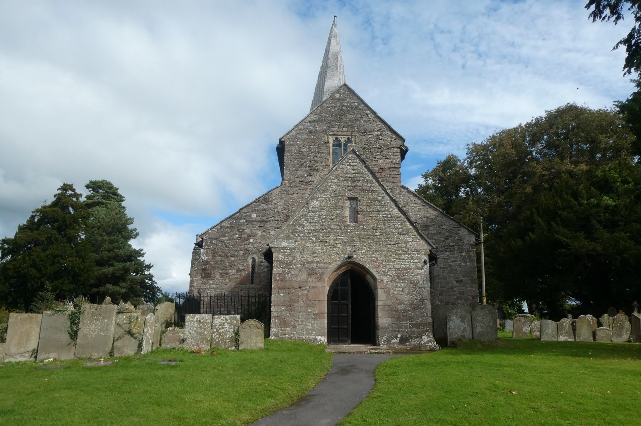
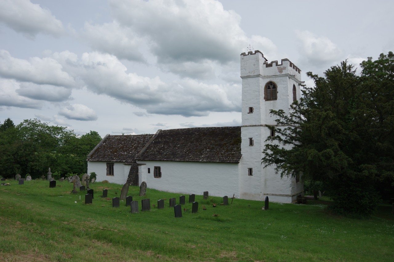
Just ahead, Offa's Dyke Path turns right at a roundabout adjacent to the red sandstone Parish Church of St Thomas the Martyr (picture 7). The church is dedicated to St Thomas Becket, who was murdered in Canterbury Cathedral in 1170, and the church is thought to have been built not long afterwards. On the roundabout is the Overmonnow Cross, a Victorian reconstruction of a medieval market cross that once stood in the same spot.
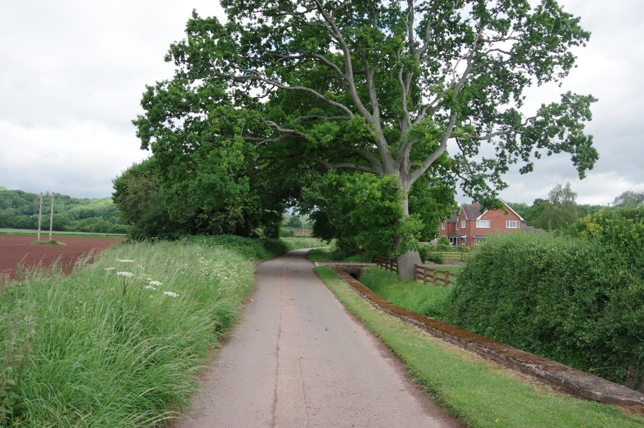
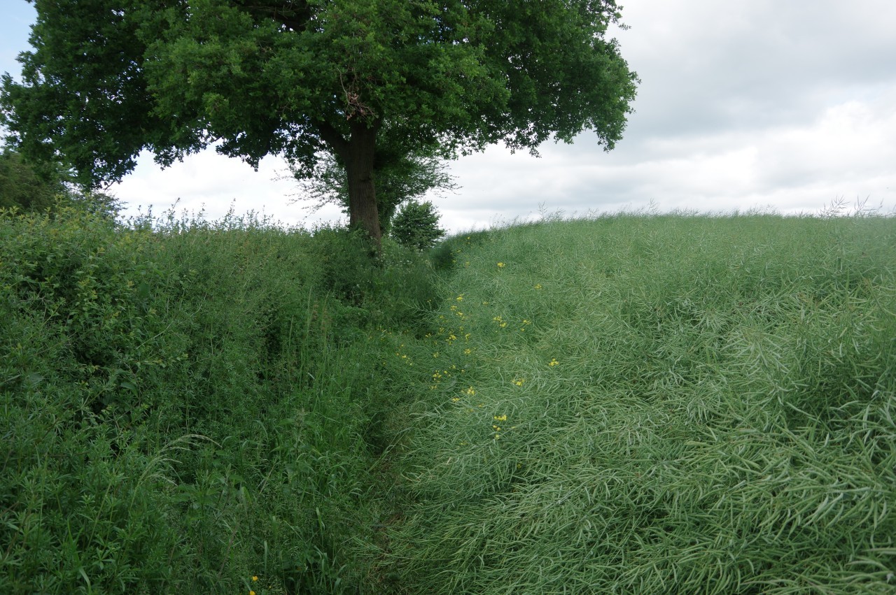
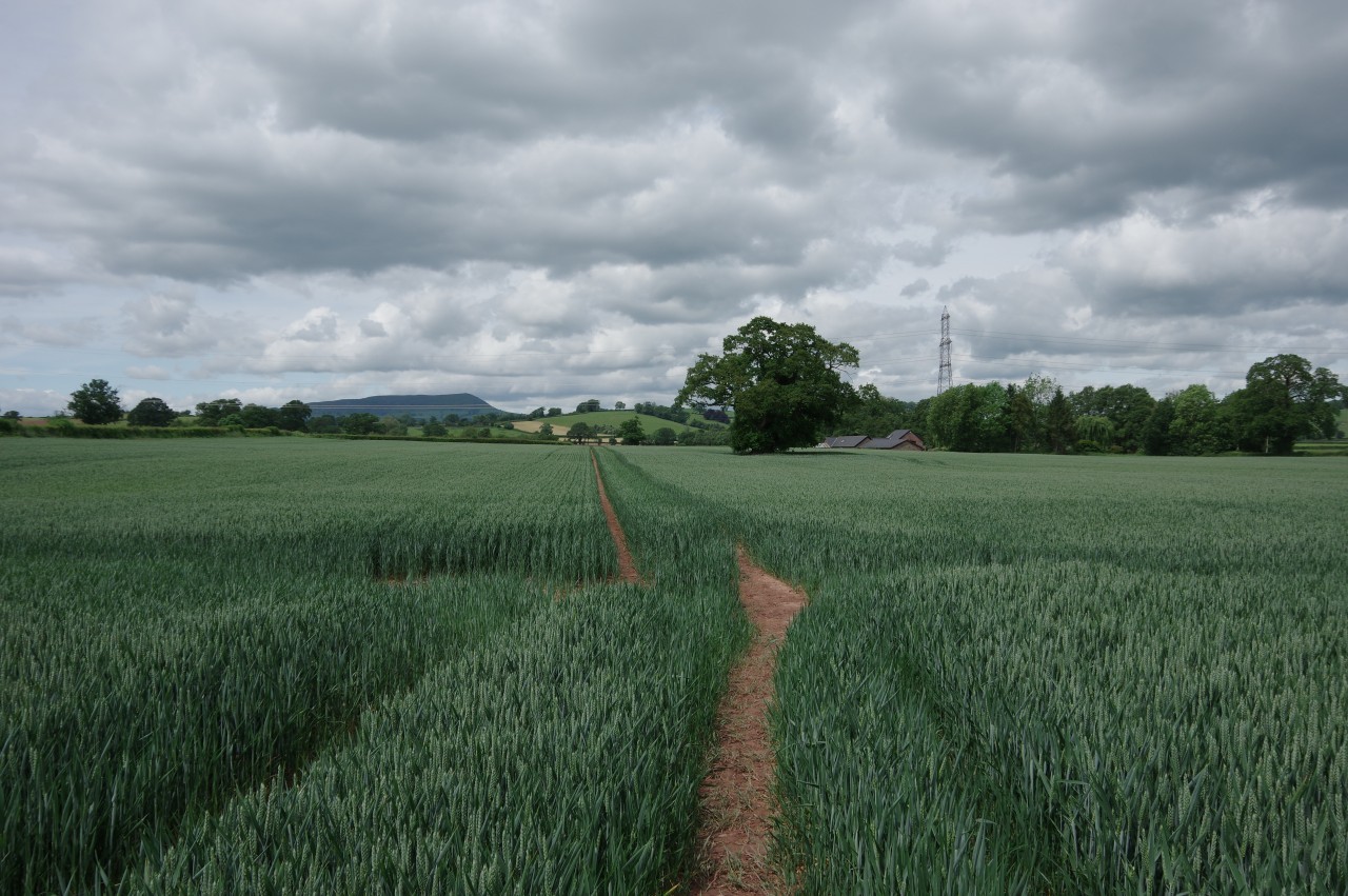
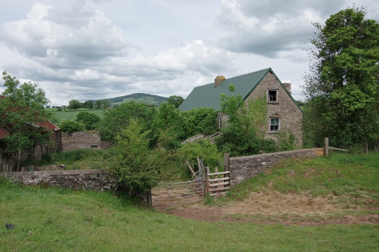
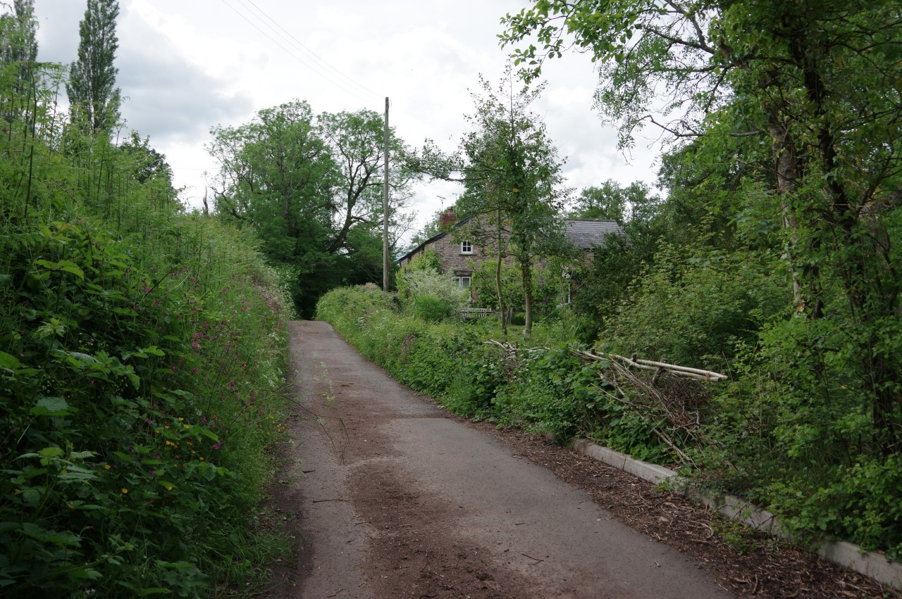
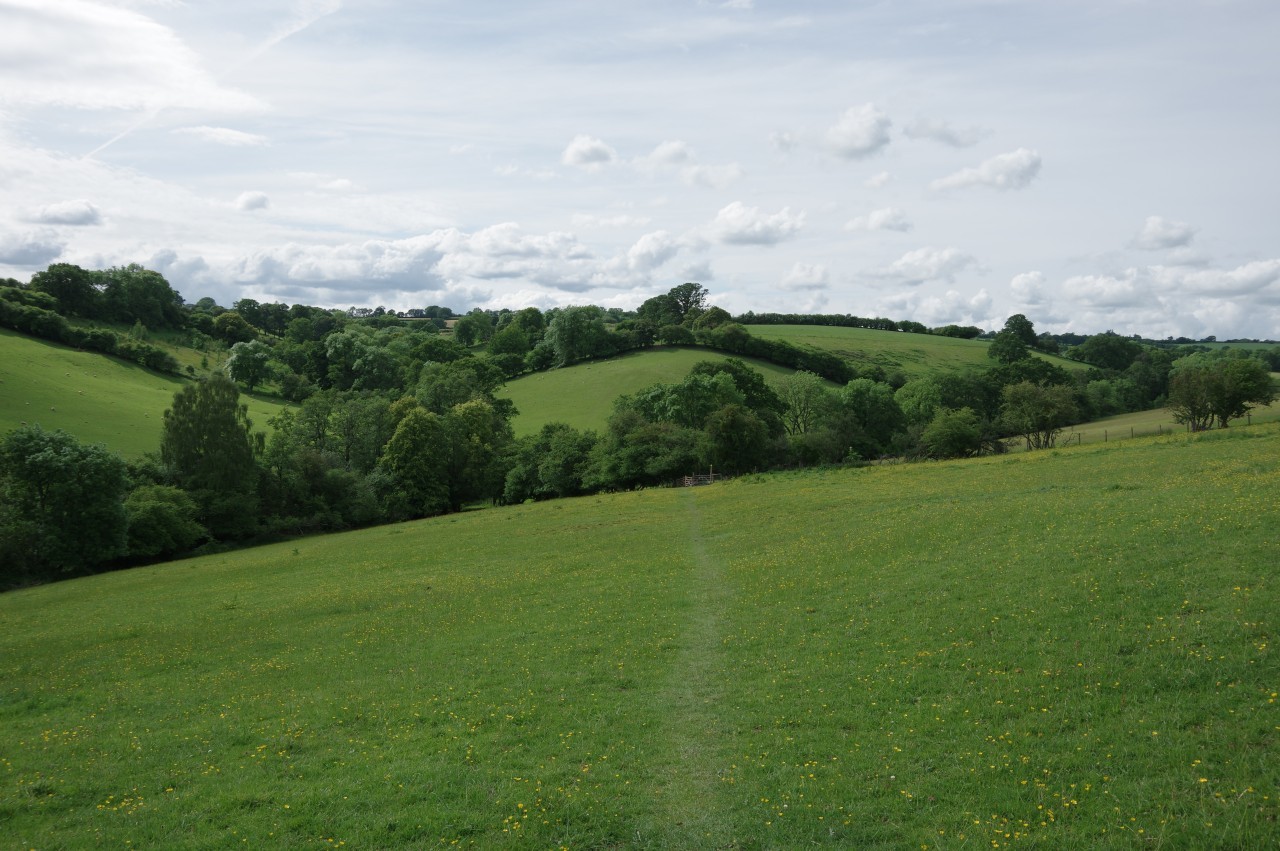
From the roundabout, the Path heads up Drybridge Street, straight across another roundabout and onward up Rockfield Road. At the next roundabout, where one can find a second caravan park with space for a few tents, a waymarker points left along Watery Lane. The second turn on the left is still Watery Lane, which is followed through a densely-packed residential area accompanied by a tiny stream. Reaching the edge of town, the lane swings right to pass some much larger properties on the right with open fields on the left (picture 8).
(9) Bailey Pit Farm
(10) Clearing in King's Wood
(11) Dingle Wood
(12) Lower Hendre
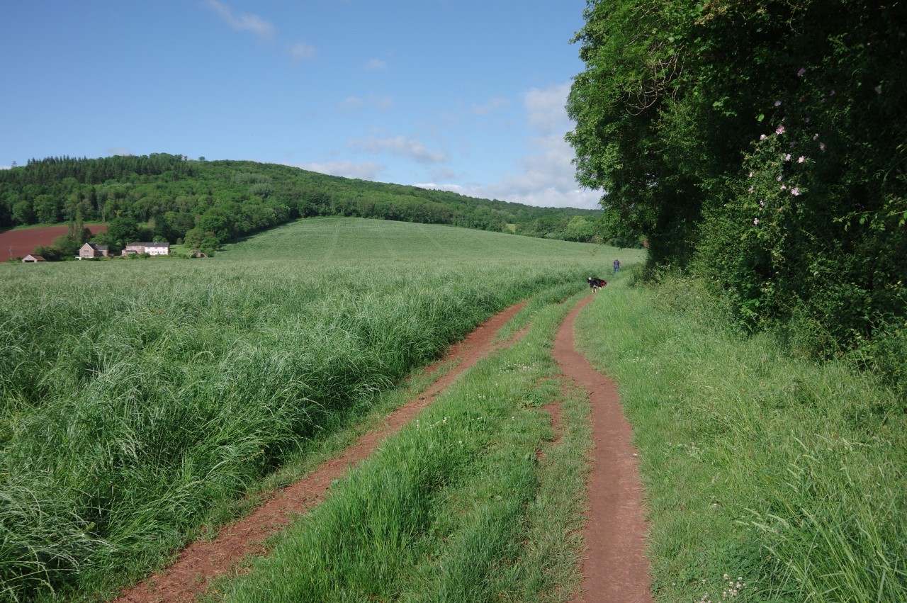
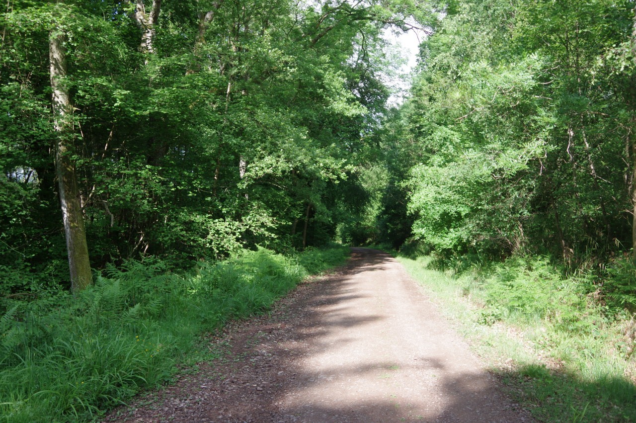
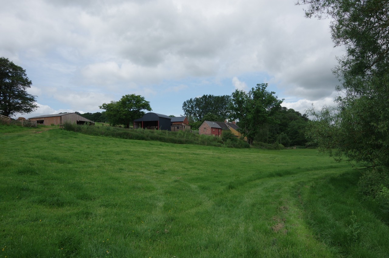
Shortly after rounding a left-hand bend, the lane becomes the driveway of Bailey Pit Farm. A walkers gate next to the "Private Drive" sign takes Offa's Dyke Path onto a farm track skirting around the northern edge of the farm beside a dense band of trees lining what at the time was a dry streambed (picture 9). In the corner of the large field, a footbridge crosses over the stream and a narrower path heads around the right-hand edge of the next field to find a weathered signpost pointing through the trees to another footbridge. A path along the edge of a small meadow then leads into Whitehill Wood.
After crossing a forestry track the path climbs through a mixture of natural woodland and plantation trees to reach a clearing on the edge of King's Wood (picture 10). The path continues through the trees, soon reaching a junction of forestry tracks and taking the one that goes straight ahead into Dingle Wood (picture 11). In another clearing, the track begins to descend along the edge of a plantation wood and then between hedge-lined meadows to meet a minor road at Lower Hendre (picture 12).
(13) Approaching the site of Grace-Dieu Abbey
(14) Abbey Meadow
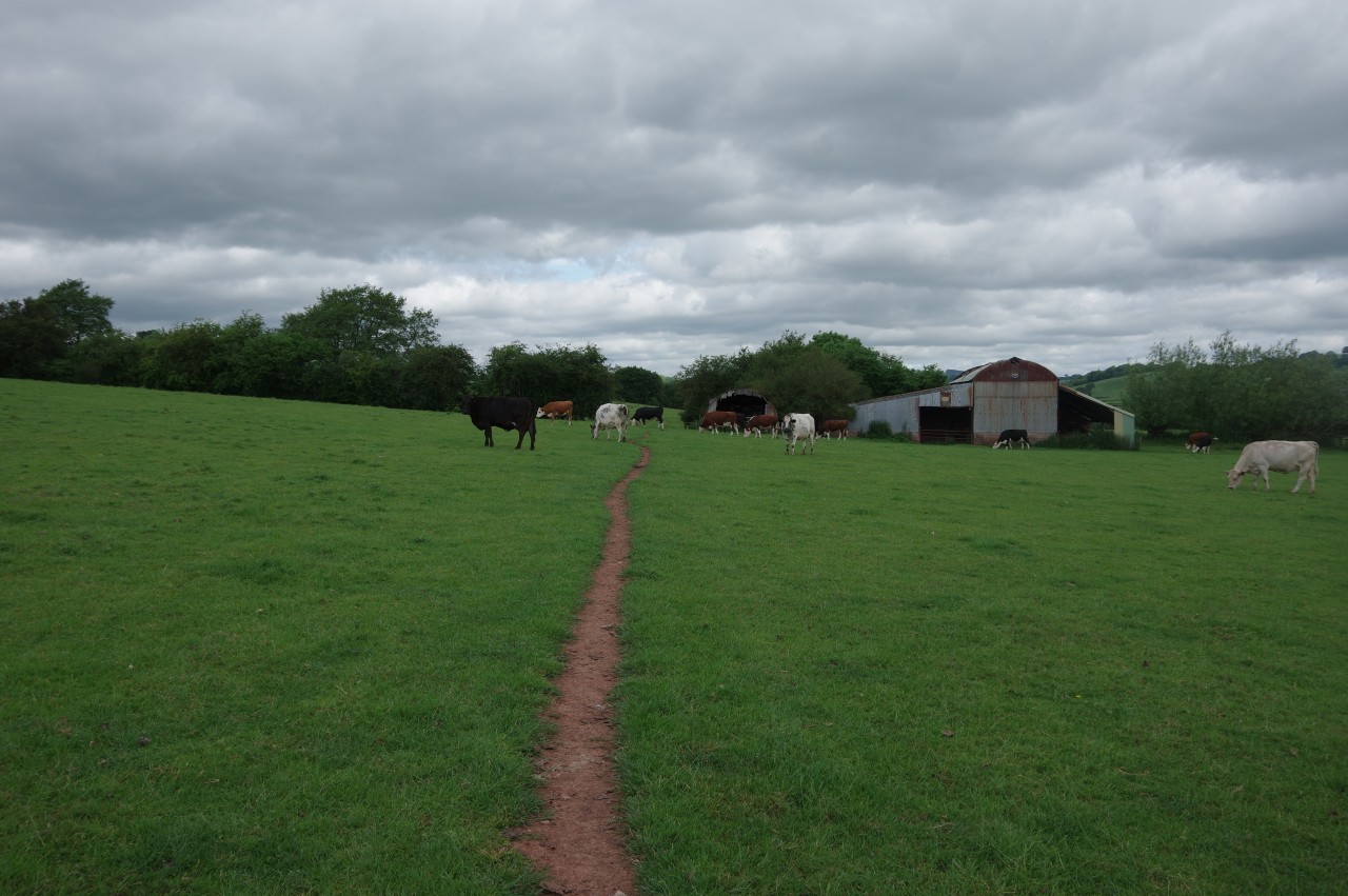
(15) Cows and barns
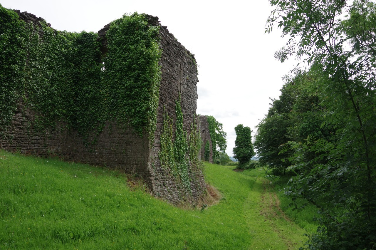
(16) Path beside the River Trothy
The road winds its way down amongst the various buildings of Old Hendre Farm and Hendre Farm, where a campsite is signposted but is not labeled on the OS map. Next to the last building, Beech Croft, the ODP turns up through a gate on a steep bank. Over a small rise the path descends to the right of a large barn and goes through a pair of gates, running along the right edge of a rough pasture, across the next (picture 13) and into a third. According to the OS map, Grace-Dieu Abbey once stood just over to the left of the path by the little River Trothy (which flows into the Wye just south of Monmouth), though no remains of the isolated Cistercian community are visible above ground today.
At the far right corner of the field is a gated footbridge and just beyond it another gate leads into Abbey Meadow. The OS map differs from the signposted route here, with the map showing the route turning left just before entering Abbey Meadow. I chose to stick to the signposted route along the left edge of the meadow, which was filled with a crop of beans (picture 14).
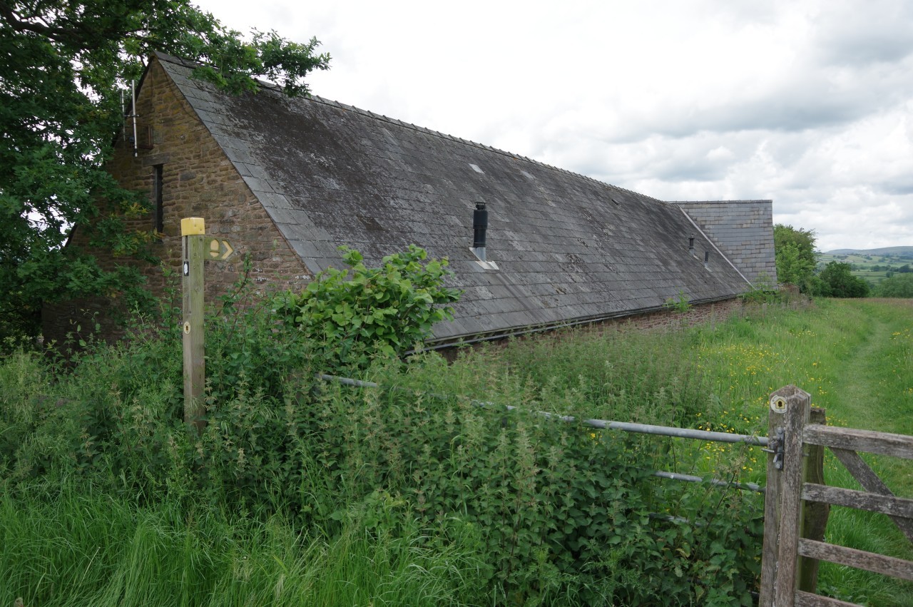
Either way, the ODP soon emerges onto a quiet lane and turns left to cross Abbey Bridge over the River Trothy before turning right in front of Abbey Cottage into a large pasture. A well-worn groove in the grass gradually bends around to pass just to the left of two barns (picture 15), then the trail heads along the right edge of the next pasture and ahead over a meadow to reach the bank of the River Trothy. The ODP now turns left, vaguely following the River Trothy westward but shortcutting its many little loops (picture 16).
(17) Sunnybank

(18) Church of St Michael of the Fiery Meteor
(19) Wildflower meadow
(20) The Grange
In the last of the loops, the path passes below the farm buildings of Sunnybank (picture 17) before bending left to meet the farm's driveway, which leads out to a junction by the Church of St Michael of the Fiery Meteor (picture 18). No flaming space rocks seemed to be present, but I still think that's a brilliant name for a church. Unfortunately, I haven't been able to find out the story behind the name.
Following the lane around the right side of the church leads to a gate and a path that runs along the back of the churchyard before angling across a gully and climbing up through gates on either side of a farmyard, aiming just to the right of an old farmhouse. Across the farm drive, the path runs along the edge of a meadow that was carpeted in tiny yellow flowers (picture 19), descending through a band of trees before following field boundaries ahead across three more meadows to arrive at a lane in front of Pen-pwll-y-calch Farm.
Stopping here to fish some snacks out of my backpack, I was passed by a group of four gentlemen who I would encounter several times over the next couple of days. They were also walking Offa's Dyke Path, but unlike me they had pre-booked all their overnight stops in pubs, so they had much lighter backpacks but were obliged to walk in all weather.
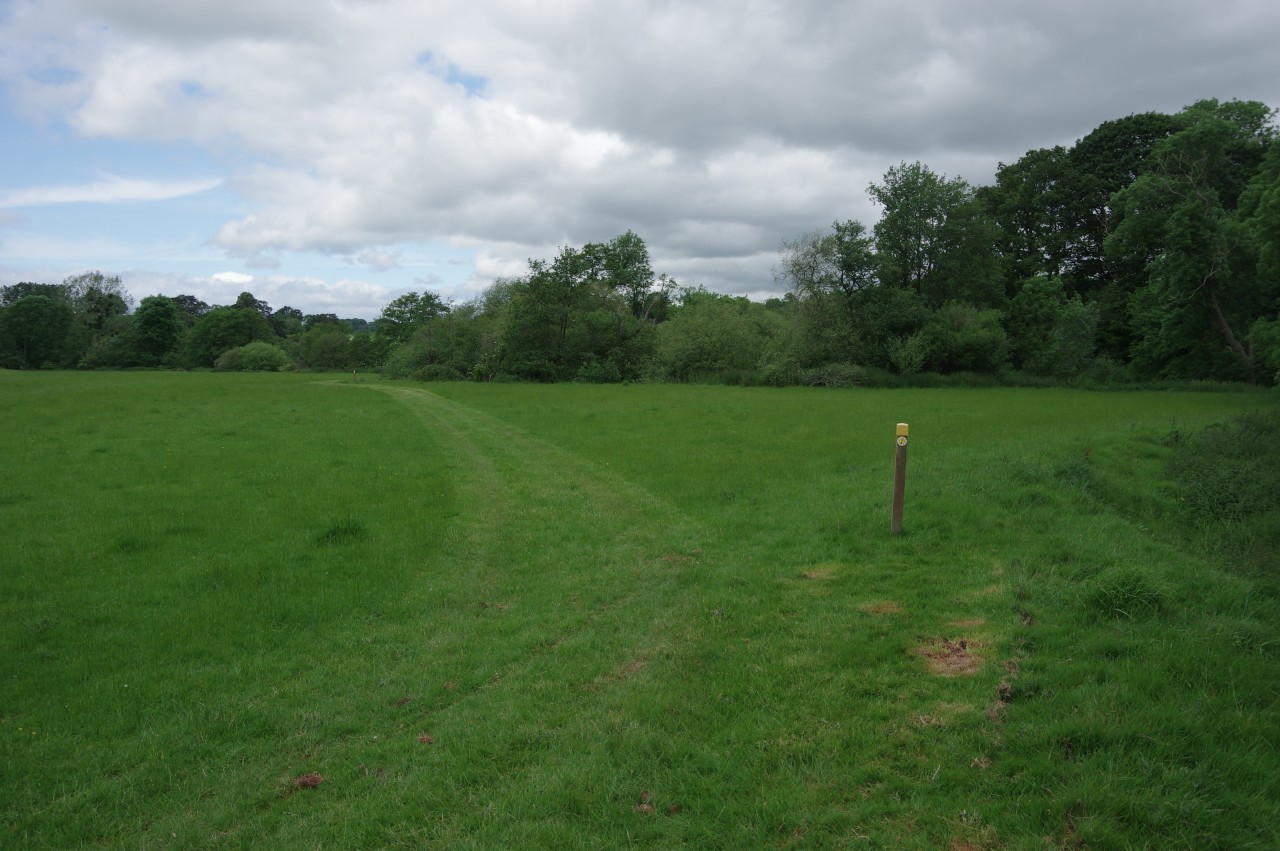
Five hundred metres down the lane, the Path turns right into a field, where I passed the group as they stopped for their own snacks. The path now follows the right-hand edge of two large meadows (picture 20), the second of which gradually bends left to join an enclosed path past the farmhouse of The Grange and across the farm drive.
(21) Cider orchard

(22) Penrhos Farm
(23) Bridge over the River Trothy
(24) Church of St Teilo, Llantilio Crosenny
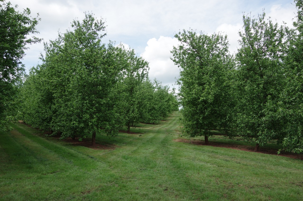
The path now descends to a gate in a hedge before climbing up over a ridge topped by a mighty oak tree and descending into a large cider orchard (picture 21), though it was a few months too early to see any apples. On the far side of the orchard, the Offa's Dyke Path turns right along another lane, soon passing Penrhos Farm (picture 22). Another kilometre of walking along the lane takes the path across the River Trothy on a medieval bridge on the edge of the village of Llantilio Crossenny (picture 23). Here I was leapfrogged once again by my new acquaintances, who stopped for a chat before heading off while I took some photos of the bridge.
Just over the bridge a signpost points along a path that follows White Castle Brook behind houses to the next lane, where the Path turns left, but first I turned right to wander up to the Church of St Teilo (picture 24), from which the village takes its name. St Teilo was a 6th-century Welsh monk who became the patron saint of Cardiff in addition to having several churches and villages named after him.
(25) Field beyond the B4233

(26) Tre-Adam
(27) View towards the Skirrid
(28) White Castle
Back down the lane, Offa's Dyke Path soon turns right through a gate and crosses a couple of meadows beside White Castle Brook to reach the B4233. Over the road the path heads away across a large wheat field (picture 25), bearing slightly left at a redundant stile to set a course across two more fields then bearing slightly right to climb another field that had recently been harvested and turned to sticky mud by the previous day's rain. The men I had met earlier were sitting by the gate, devouring their lunch, and I stopped for another chat before moving on.
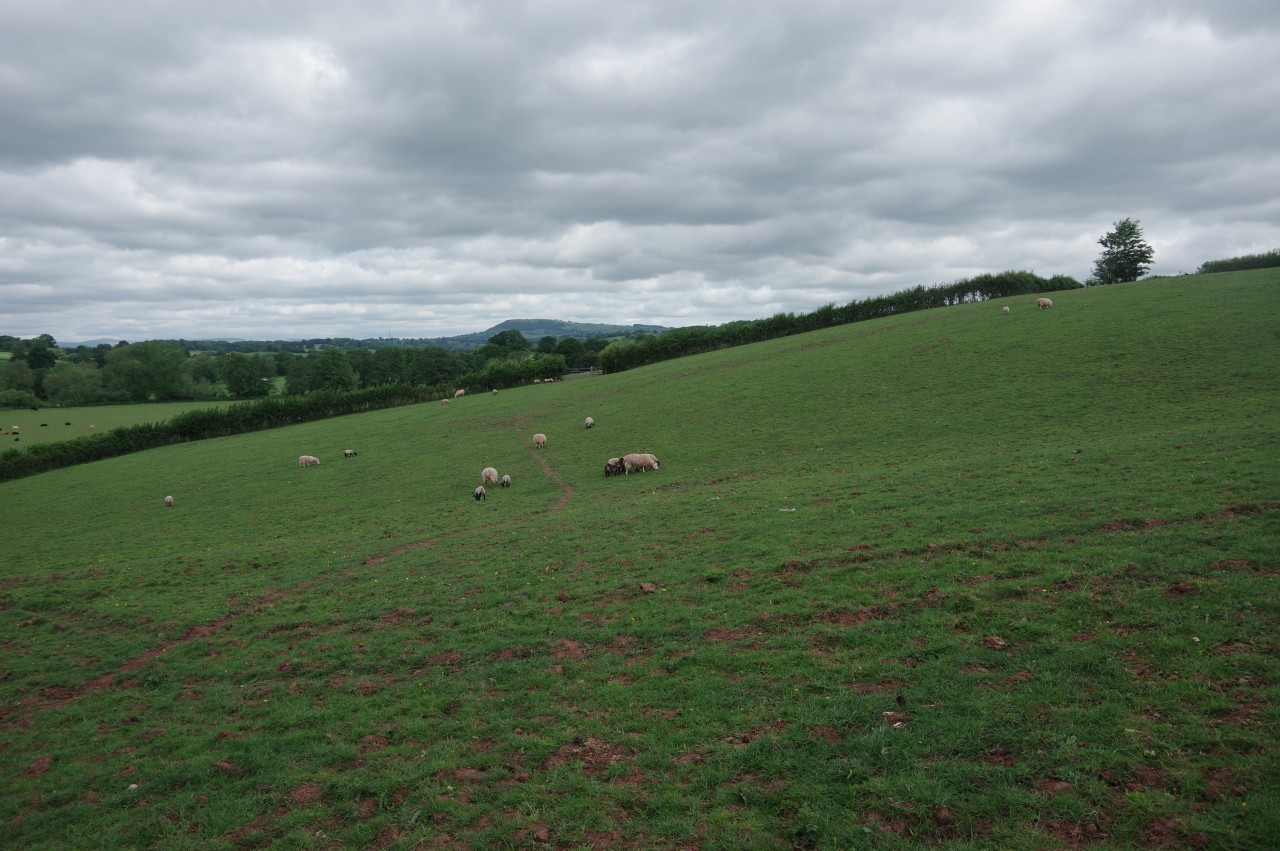
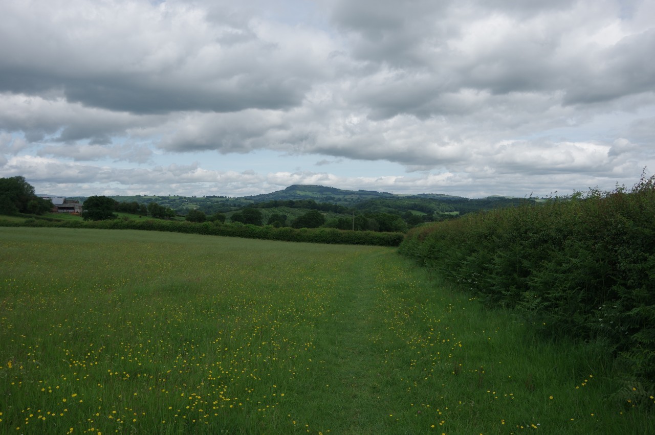
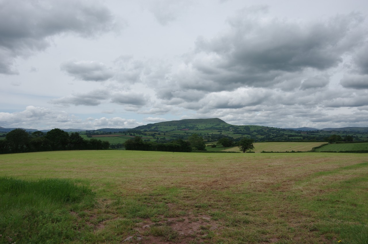
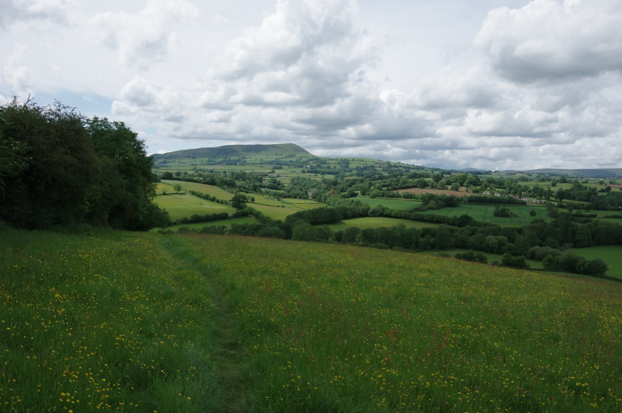
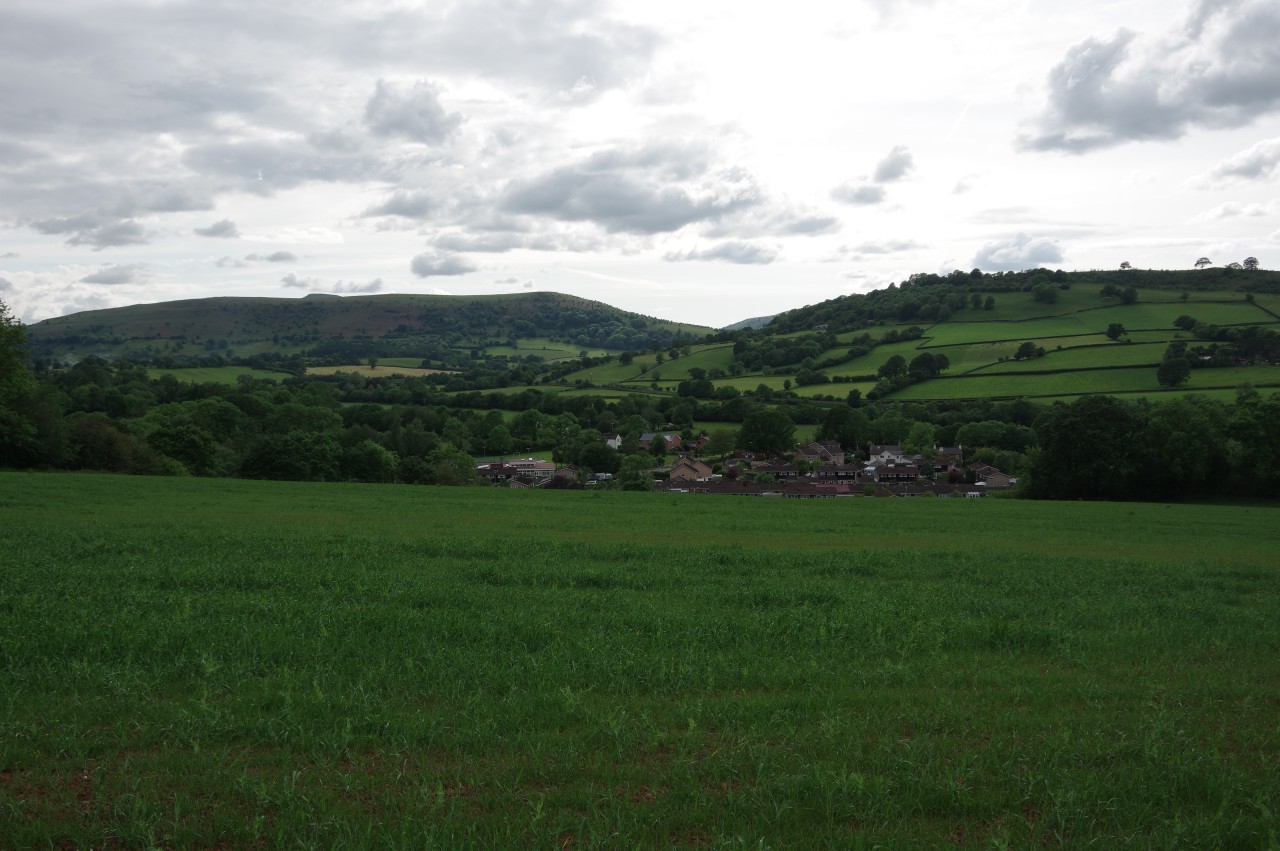
Diagonally across the next field, the driveway of Great Treadam Farm quickly leads to a right turn along a lane, passing the Hog's Head wedding venue then coming up to a junction in the hamlet of Tre-Adam (picture 26). Turning right again, the ODP climbs steadily on an unsealed lane for one and a half kilometres to the carpark of White Castle. Along the way there are several gaps in the hedges offering a view westward to the distinctive 486-metre peak of The Skirrid (picture 27), the most easterly peak of the Brecon Beacons National Park. The Skirrid remains a prominent landmark for the rest of the day's walk and into the next.
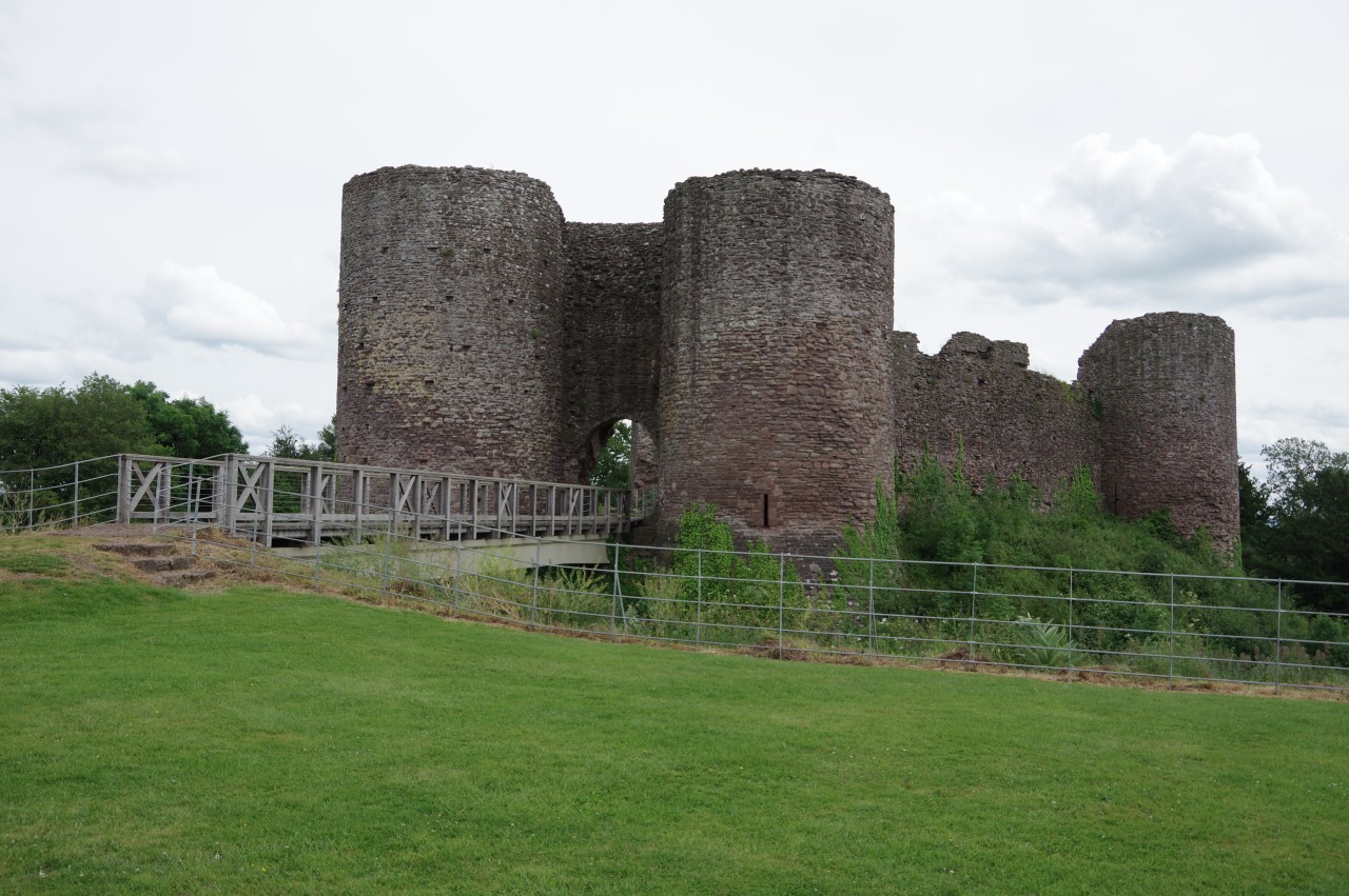
White Castle is a 12th century motte-and-bailey castle with a large outer yard beside a moated inner yard defended by massive round stone towers (picture 28). For a time, the castle really was white, with its walls plastered to make it a very visible sign of English domination over the local Welsh population. When the castle was in use, both yards would have been full of buildings, but today only some foundations and a well are left in the inner yard.
As I was getting ready to leave the castle, the other walkers arrived one by one.
(29) White Castle
(30) Duke's Barn
(31) Descending to Caggle Street
(32) Caggle Street
From the carpark, a track follows the wall of the outer yard around the north side of the castle (picture 29) then descends the edge of a field to turn right through a gate by Duke's Barn (picture 30). Fifty metres past the barn, the path switches sides of the field boundary and starts to descend across a long series of irregularly-shaped meadows and fields (picture 31), crossing the River Trothy a couple of fields before eventually reaching the B4521 Old Ross Road at the small village of Caggle Street (picture 32).
(33) Little Pool Hall
(34) Old Court
(35) Church of St Cadoc, Llangattock Lingoed
(36) Hunters Moon Inn, Llangattock Lingoed
Turning right to follow the road round a bend, Offa's Dyke Path leaves the tarmac shortly after passing a neat little Baptist chapel. The Path now climbs up a couple of rough fields, following a well-trampled line in the grass, then descends to a gate where a right turn takes the trail onto a sunken track heading for Little Pool Hall.
Reaching the hall (picture 33), the Path bears slightly left alongside the stone wall, heading through a gate and down a rough field to ford a small stream before climbing to a lane. To the right, the Path follows the lane past the 16th-century Old Court (picture 34), once the site of a manorial court for the manor of Abergavenny. A little further on, a signposted path leaves the lane opposite Cwm Farm to cross over Full Brook, a tributary of the Trothy, and into a large pasture below the village of Llangattock Lingoed. Climbing to a gate near the top right corner, I found the short path leading to the door of the village church. One can then walk around the left side of the church to the village street, where it becomes apparent that the church actually faces away from the street (picture 35).
From the church gate, Offa's Dyke Path turns left, but just to the right is the Hunters Moon Inn (picture 36). It was just past the pub's opening time of four o'clock, so I popped in for a quick pint.
(37) Descending to cross Full Brook
(38) Old Park
(39) Llanerch
(40) View ahead to Hatterall Hill
Just as the tarmac runs out at the end of the village street, steps leads up to a gate and into a small field. Across the bottom of the field, another gate opens into a larger field and part of the way along its left side one more gate takes the path through the field boundary onto a sloping grassy hillside.
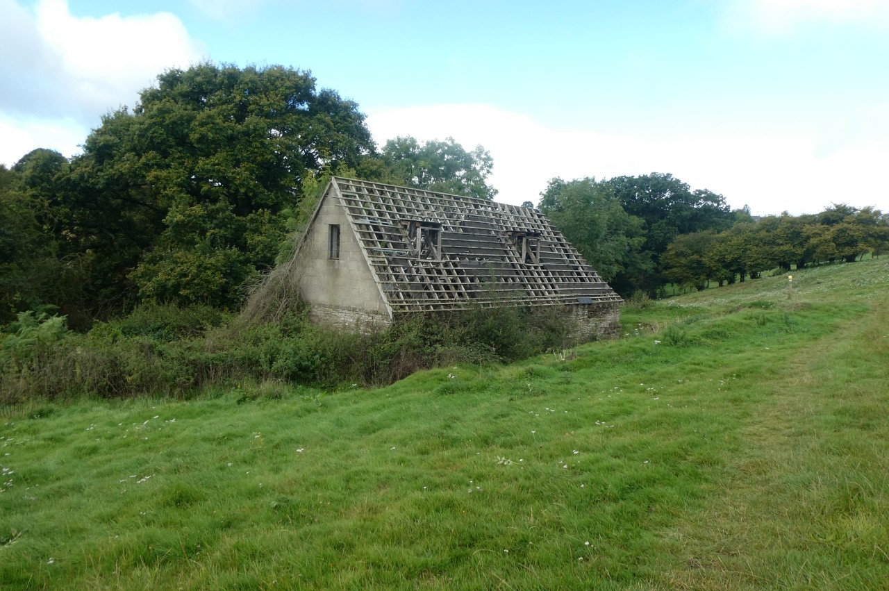
After following the field boundary for a hundred metres or so, a signpost points down a couple of fields to a footbridge crossing Full Brook (picture 37). All of that height has to be immediately regained as the Path climbs straight up the steep hill beyond the brook. The trail then bends a little left to run along the length of the narrow sheep pasture of Old Park, passing a cottage that is missing its roofing (picture 38).
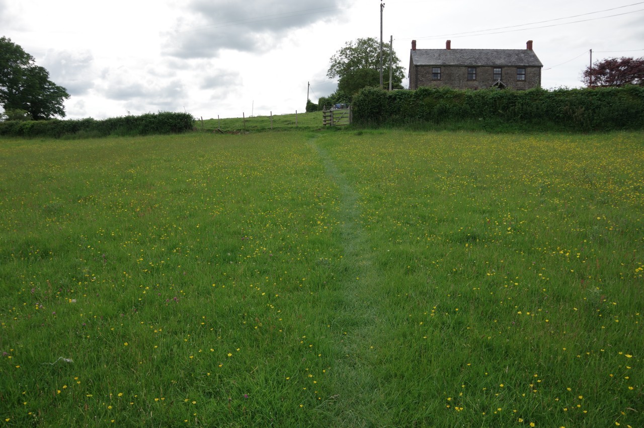
Beyond the cottage, the path bends left to a gate beside a small side-stream of Full Brook and follows the stream along the edge of a field to a lane. Finally leaving the catchment of the River Trothy behind after spending most of the day crossing it, Offa's Dyke Path turns left down the lane for eighty metres to turn off the tarmac again and climb to Llanerch Farm (picture 39), joining the farm drive to head out to a bend in Hill Street. Bearing right to a junction and turning left down another lane, the path quickly reaches another signpost pointing off the road on the right.
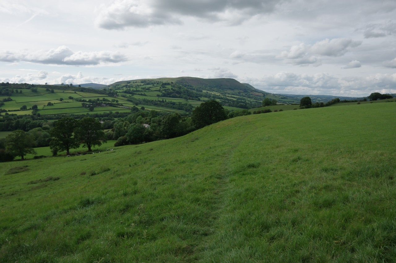
The end of the day's walk is now in sight as the path beings to descend into the valley of the River Honddu with the high ridge of Hatterrall Hill (to be traversed on the next day's walk) looming a little menacingly ahead (picture 40).
(41) Werngifford

(42) Approaching Pandy

(43) The Rising Sun Inn, Pandy

(44) The Skirrid Mountain Inn
The path angles diagonally down the side of the valley, crossing a series of fields as it passes well above the village of Werngifford (picture 41). The trail continues across several more fields before suddenly turning left along the edge of one last field and past a couple of houses to reach the A465 in the smaller village of Pandy (picture 42).
Across the very busy road, I left Offa's Dyke Path in front of the Lancaster Arms Guest House, having walked another 26.4 kilometres of the official route. Walking south beside the road, it's about five hundred metres to the Rising Sun pub (picture 43), which has its own caravan and camping site.
After setting up my tent and having dinner in the pub, I walked another eight hundred metres down the road to the next village, Llanfihangel Crucorney, where two of the other walkers were staying the night at the Skirrid Mountain Inn (picture 40), purportedly one of the oldest pubs in Wales. After chatting over a couple of pints, they headed off to bed and I headed back up to the campsite in the last of the twilight. By the time I was settling down in my sleeping bag, I had walked well over thirty kilometres for the day. I would sleep well.