OFFA'S DYKE PATH NATIONAL TRAIL
Stage 2: Brockweir to Monmouth
Monday, June 3, 2019
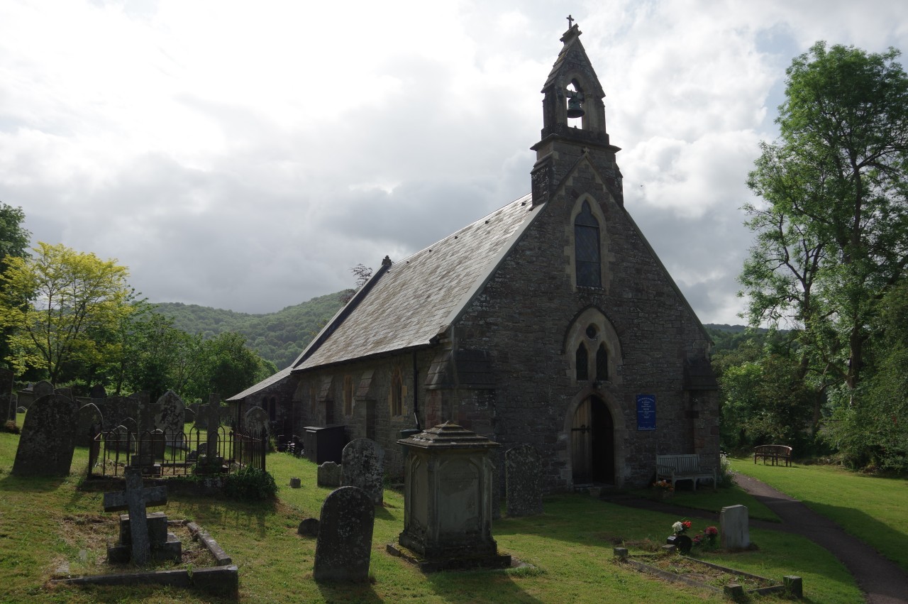
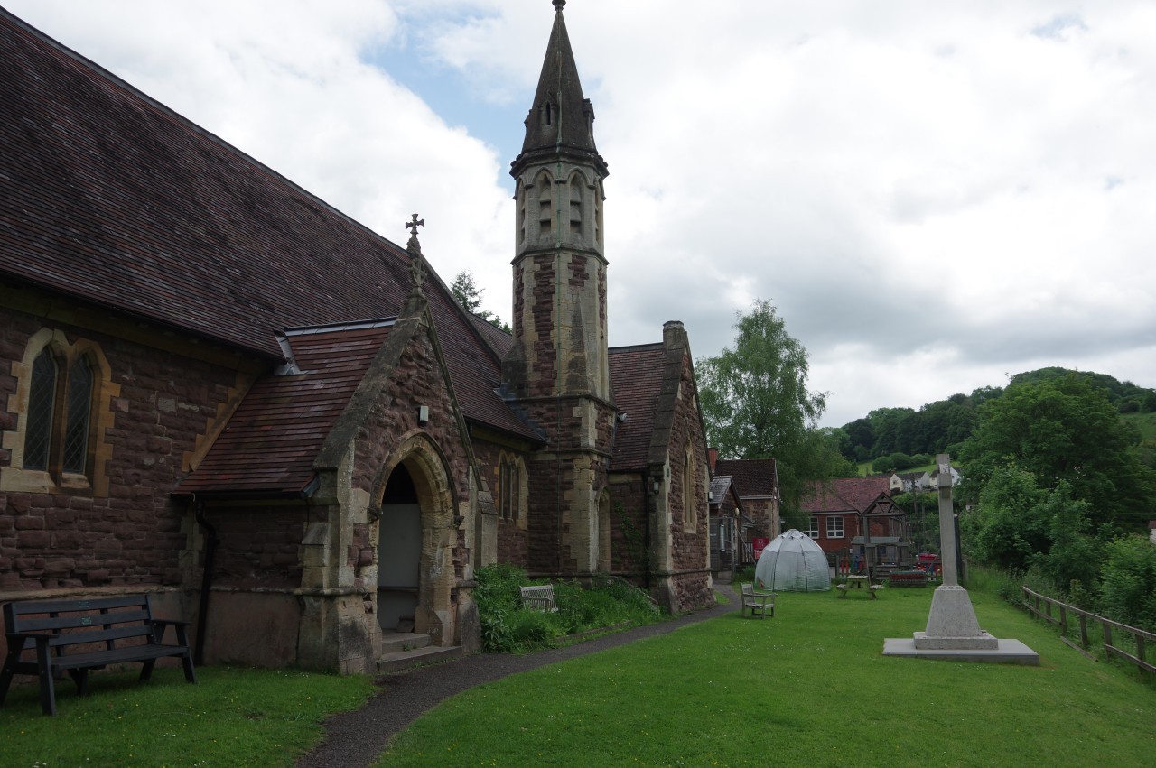
(1) Church of St Michael, Tintern
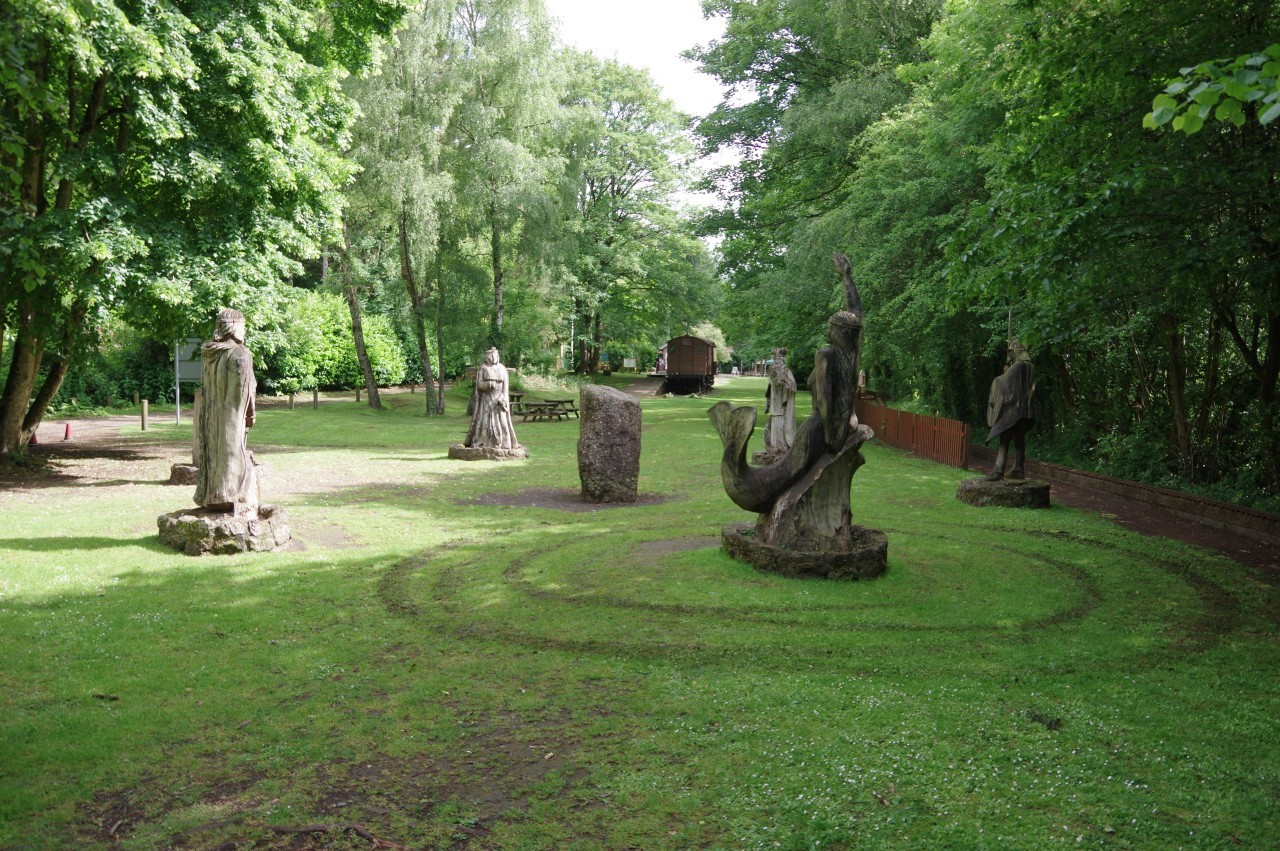
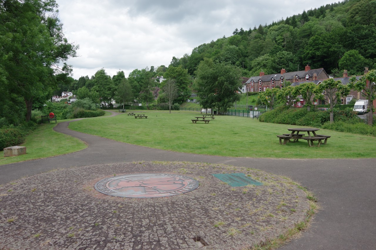
(2) The Circle of Legends
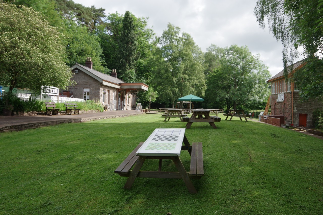
(3) The Old Station
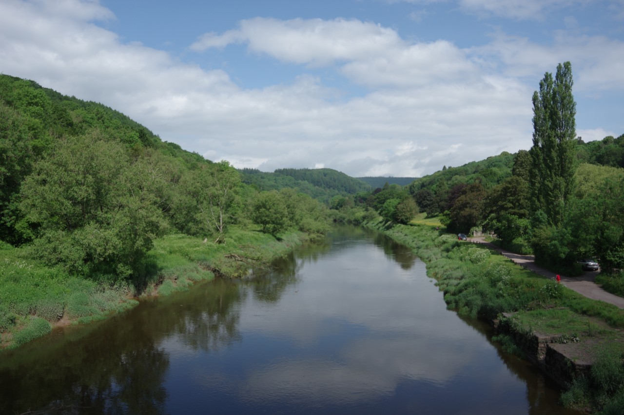
(4) River Wye, Brockweir
The morning after I arrived in Tintern, I awoke to heavy rain. After breakfast, there was still no let up, so I decided to stay another night in Tintern and spend the day exploring the village and sheltering in its pubs. This proved to be a good decision as the rain didn't stop until after three in the afternoon.
On the second morning, the weather looked much friendlier, so I farewelled my hosts at the Wye Valley Hotel after a fabulous breakfast and wandered back around the side of St Michael's Church (picture 1) and down to the bank of the River Wye.
Just south of the Old Station, I passed the Circle of Legends (picture 2), a ring of six carved wooden figures including King Offa, King Arthur and a mermaid representing Sabrina, the spirit of the River Severn. After meandering through the station park (picture 3), I followed a shady path up to Brockweir Bridge and crossed over the Wye (picture 4) to rejoin Offa's Dyke Path.
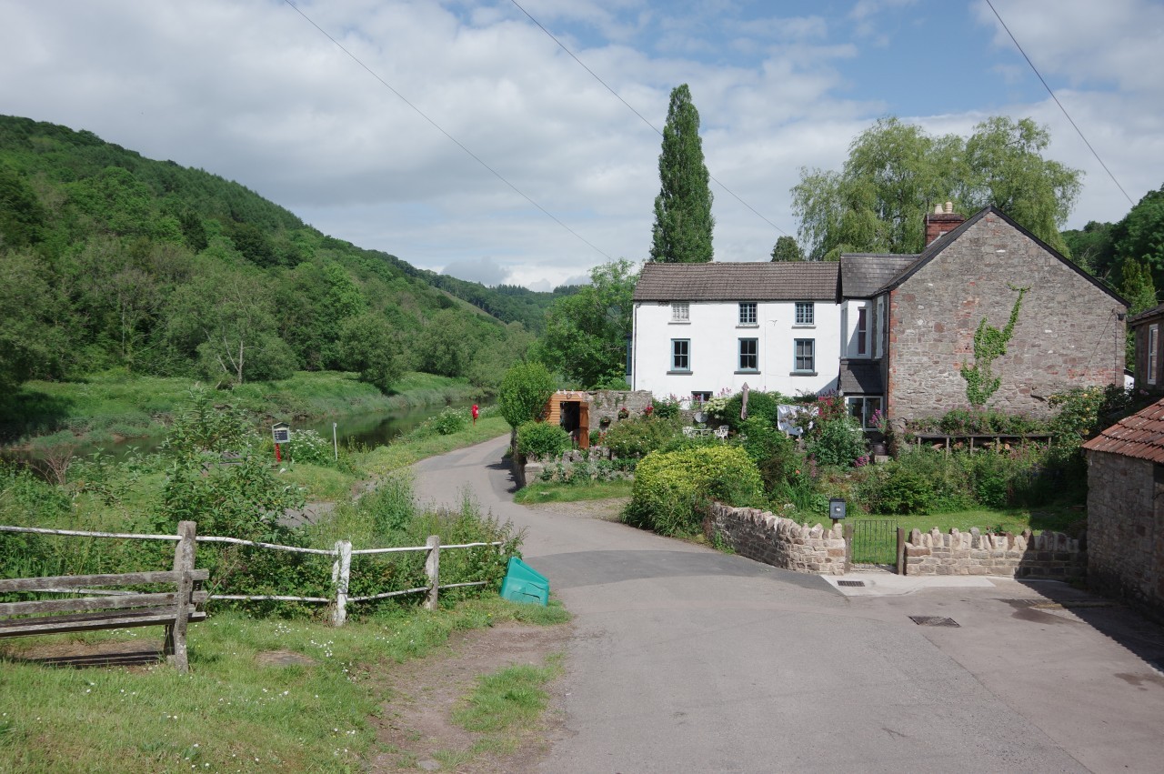
(5) Brockweir Quay
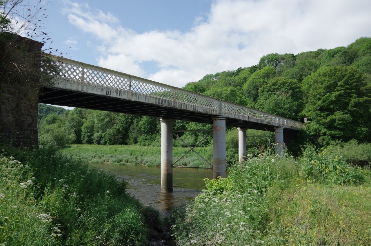
(6) Brockweir Bridge
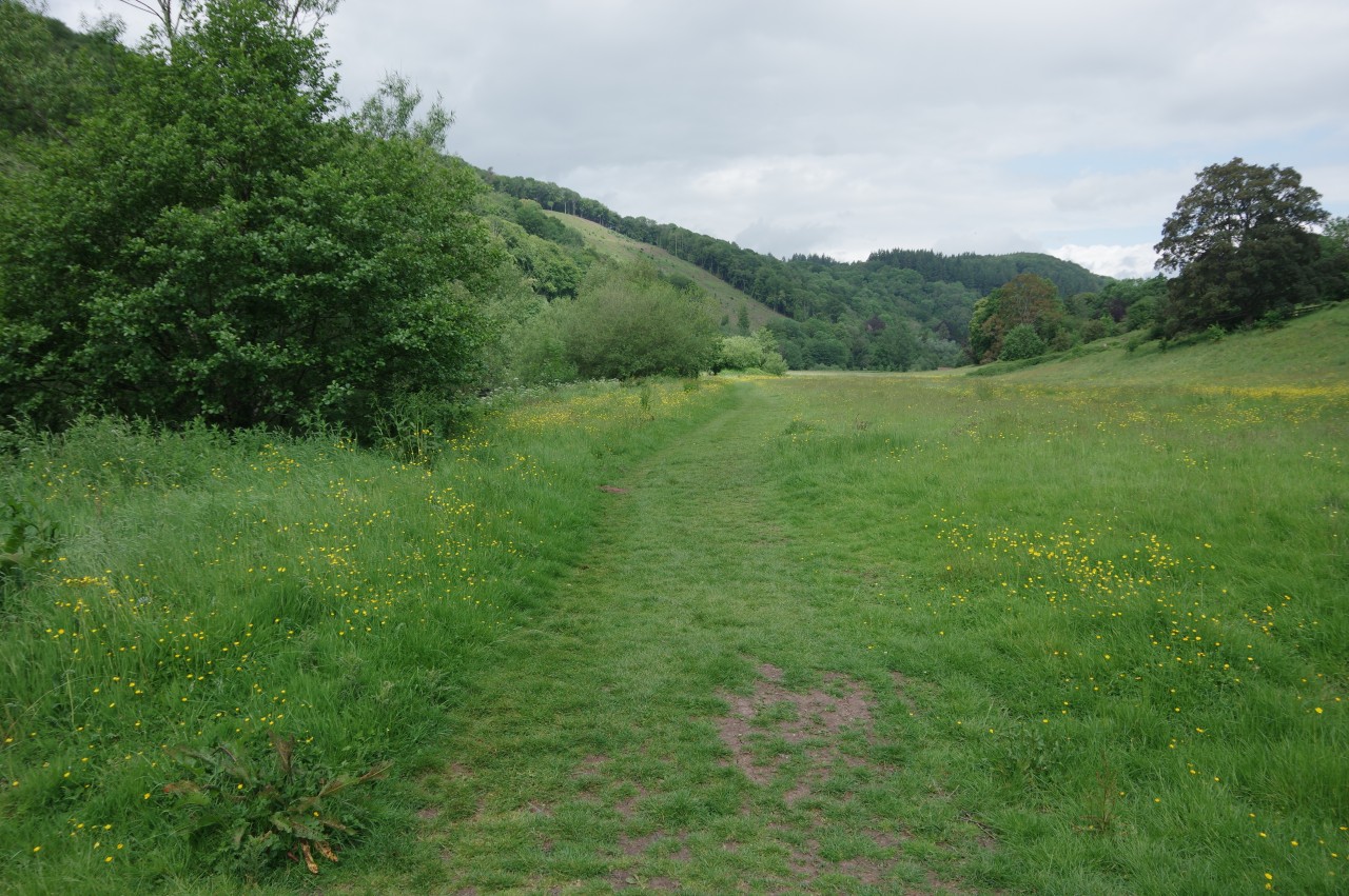
(7) Path beside the River Wye
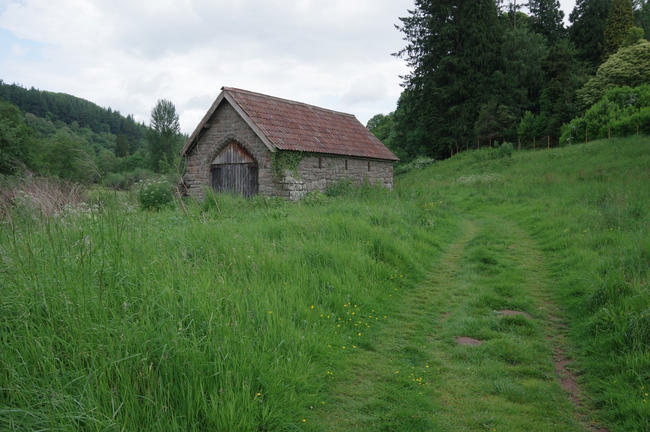
(8) Boathouse
Just upstream from the bridge is Brockweir Quay (picture 5), which offers a view of the bridge (picture 6), constructed in 1906. In medieval times, Brockweir was the highest point on the Wye accessible by seagoing vessels and the quay was used to transfer cargo to and from flat-bottomed barges capable of going further up the river.
The lane along the quayside soon becomes an unsurfaced track leading to a gate into peaceful riverside meadows with steep hillsides rising on both sides of the river (picture 7). The A466, the main road up the lower Wye Valley runs along the opposite bank, but is mostly out of sight and there was very little traffic to disturb the sounds of nature. After a kilometre the path passes behind an isolated stone boathouse (picture 8) before the riverside walking resumes.
(9) Approaching Llandogo
(10) Church of St Oudoceus, Llandogo
(11) Lords Grove
(12) Bigsweir House
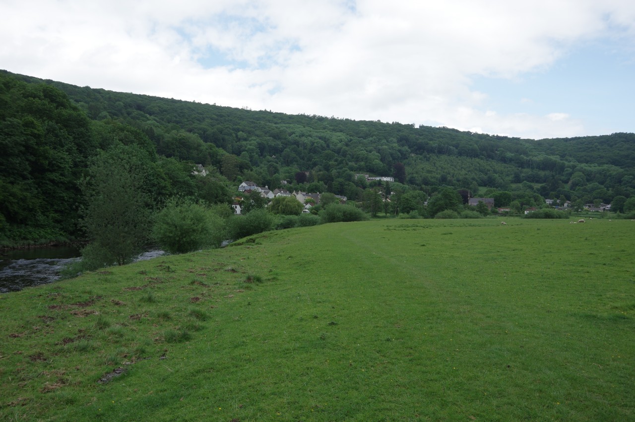
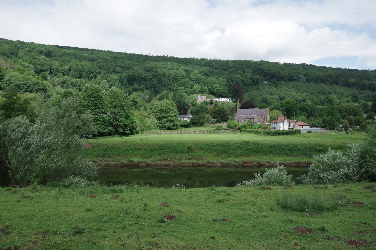
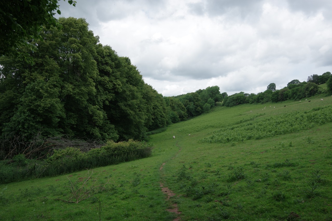
After another kilometre, the woods of the Hudnalls National Nature Reserve come down to the river and the Offa's Dyke Path runs through the lower edge of the reserve before emerging into a large sheep-grazed pasture on the inside of a bend in the river. Just across the water, but inaccessible from Offa's Dyke Path, is the village of Llandogo (picture 9), with the prominent Church of St Oudoceus set just back from the riverbank (picture 10).
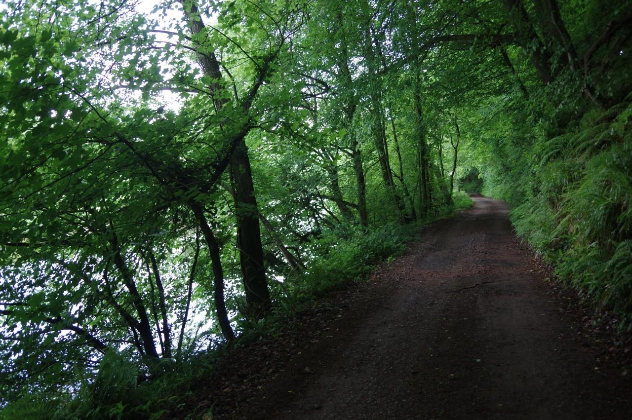
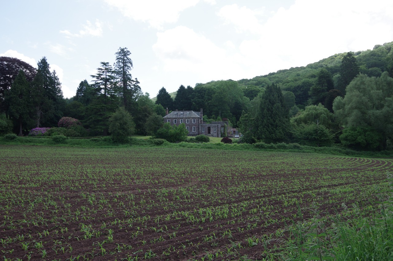
Around the bend, the Path reaches a gate on the edge of Lords Grove, where a broad track runs through the trees for a kilometre, just above the river (picture 11). Reaching the far side of the woods, the Path leaves the track to follow the riverbank around the edge of a field below Bigsweir House (picture 12), which dates from around 1740.
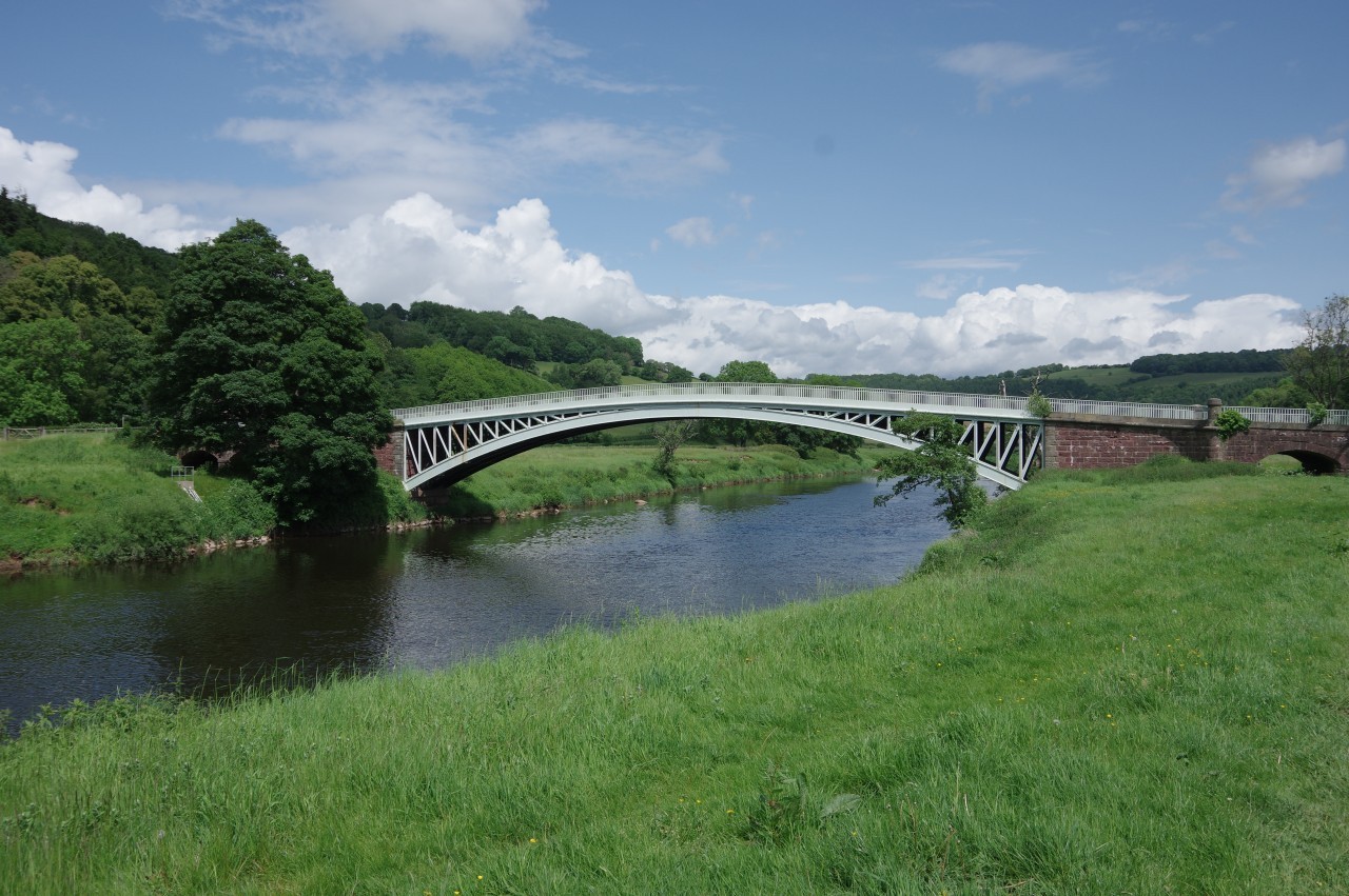
(13) Bigsweir Bridge
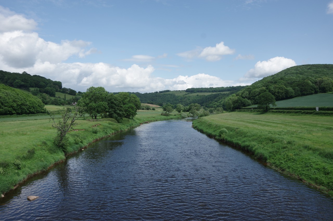
(14) View upstream from Bigsweir Bridge
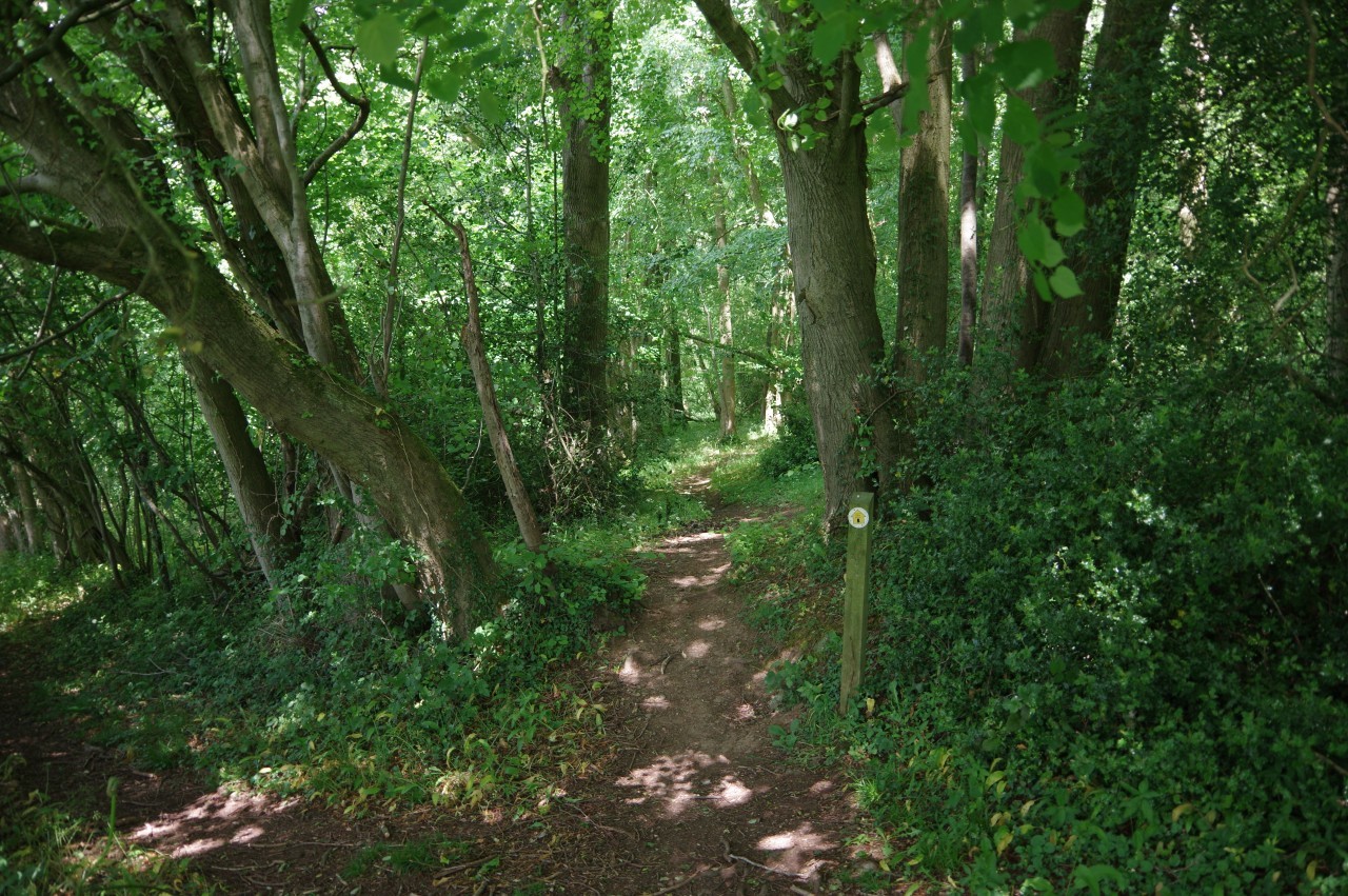
(15) Slip Wood
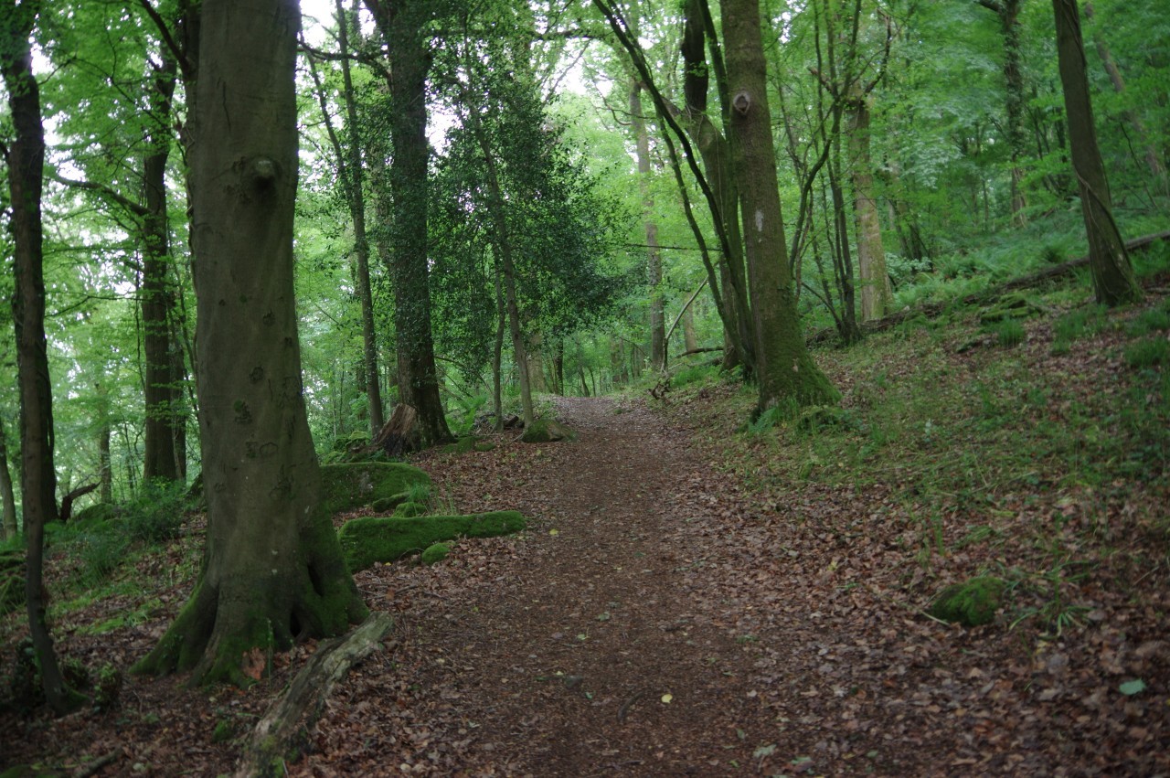
(16) Wyeseal Wood
Beyond a footbridge over the trickling Mork Brook, the grassy trail leads along the riverbank to the cast-iron arch of Bigsweir Bridge (picture 13), by which the A466 has swapped sides of the river since 1827. I made a brief diversion here, crossing over the single-lane bridge for a look at the little stone tollhouse on the far side and to admire the view up the river (picture 14).
The Offa's Dyke Path departs from the river for a while here, following the A466 uphill past the driveway of Bigsweir House, from which the alternative route across St Briavels Common emerges. Ahead, the route forks off the A466 on the hedge-lined and vergeless Stowe Road. Fortunately, no cars came along while I marched up the 400 metres to the edge of Slip Wood, where a shady woodland path leaves the road (picture 15).
Slip Wood is the first part of a much larger area of woodland that lines the slopes on the east side of the Wye for the next few kilometres. Much of the woodland here is owned by the Woodland Trust and collectively managed as the Cadora Woods Nature Reserve.
After crossing a small parking area, the path enters Wyeseal Wood (picture 16), climbing steadily for a while as the path angles up the hillside before levelling out when it picks up the line of Offa's Dyke in Creeping Hill Wood.
(17) Path above Church Grove
(18) Coxbury Farm
(19) Highbury Wood
(20) Descending to Redbrook
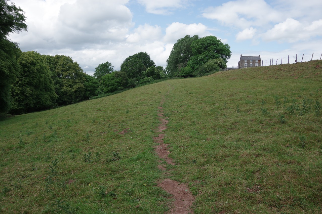
On the north side of Creeping Hill Wood, the ODP leaves the woods, traversing several open meadows just above Church Grove (picture 17), then briefly cutting through a corner of Oaken Copse to follow the dyke below Coxbury Farm (picture 18).
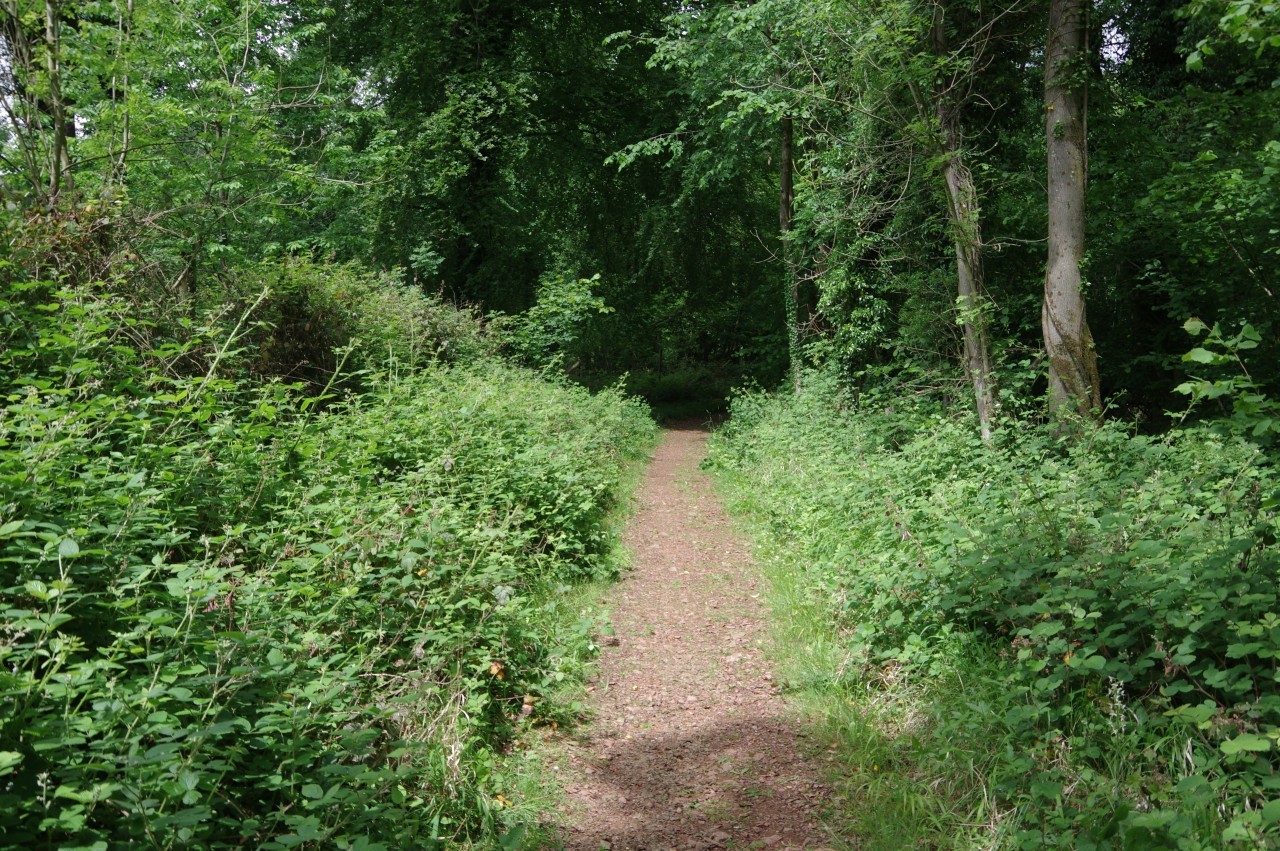
Beyond two more narrow meadows, the trail climbs into the ancient woodland of the Highbury Wood National Nature Reserve (picture 19), following the course of the dyke along a one-and-a-half kilometre ridge to Highbury Farm, though for the most part the remains of the dyke are not very obvious. This is the Offa's Dyke Path's last encounter with Offa's Dyke for almost ninety kilometres.
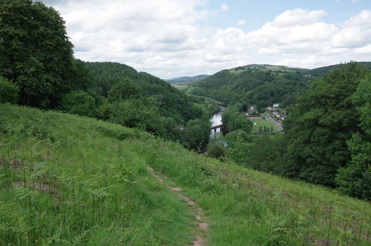
A short distance down the farm's driveway, a signpost indicates the beginning of a fairly steep descent to the village of Redbrook with the town of Monmouth visible in the distance further up the valley (picture 20). The prominent bridge over the river is the Penallt Viaduct, once part of the Wye Valley Railway but now part of the Wye Valley Walk.

(21) The Bell Inn, Redbrook
(22) Redbrook Village Green
(23) St Saviour's Church, Redbrook
(24) Duffield Lane
Reaching the edge of the village, the Path descends a lane and crosses over Coach Road to take a long flight of concrete steps down to a little parking area just off Tinmans Green. Turning left on Tinmans Green soon leads to the A466 in the centre of Redbrook, adjacent to the post office and village store. Offa's Dyke Path turns right along the main road, but a hundred metres to the left is the Bell Inn (picture 21), where I arrived in time for lunch.
Across the road from the pub, the Wye flows past the Redbrook Village Green (picture 22). A large cast-iron roundel in the pavement celebrates the village's long metalworking heritage. Copper, iron and tin were all worked here for centuries, with raw materials being shipped up the Wye from as far away as Cornwall and finished metal going back out via the river. The local tinplate works, which produced sheets of iron coated with a thin layer of tin, used mainly for making tin cans, survived until 1962.
I hadn't been on the green long when a sudden shower passed over and encouraged me to move on. Not far up the A466, the 19th-century Church of St Saviour stands beside the road (picture 23) and a little further on the ODP climbs a track that gradually bends away from the A466 to reach a narrow road heading under a stone bridge. This spot is where Offa's Dyke Path leaves Gloucestershire to enter Wales for the first time, with the border having finally left the middle of the River Wye to turn up this road.
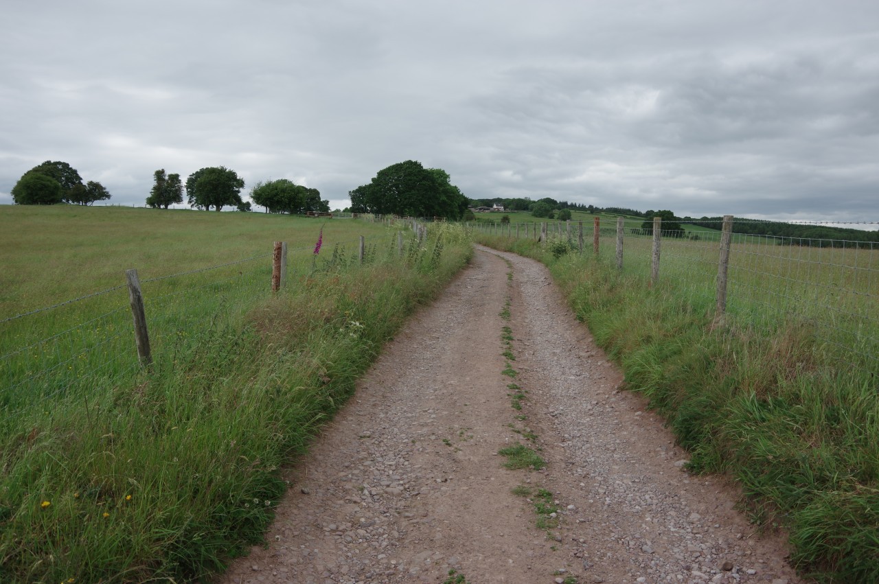
The narrow road, choked by parked cars, climbs to a crest where a signpost with the familiar acorn points up the even narrower Duffield Lane, which forks left to climb behind the last houses of Redbrook before swinging left past Jamie's Farm. Now an unsealed track, Duffield Lane continues to climb between sheep pastures (picture 24). Several times, I had to make way for a man pulling a small trailer behind a quad-bike who appeared to be rounding up escaped sheep.
(25) Upper Beaulieu Farm
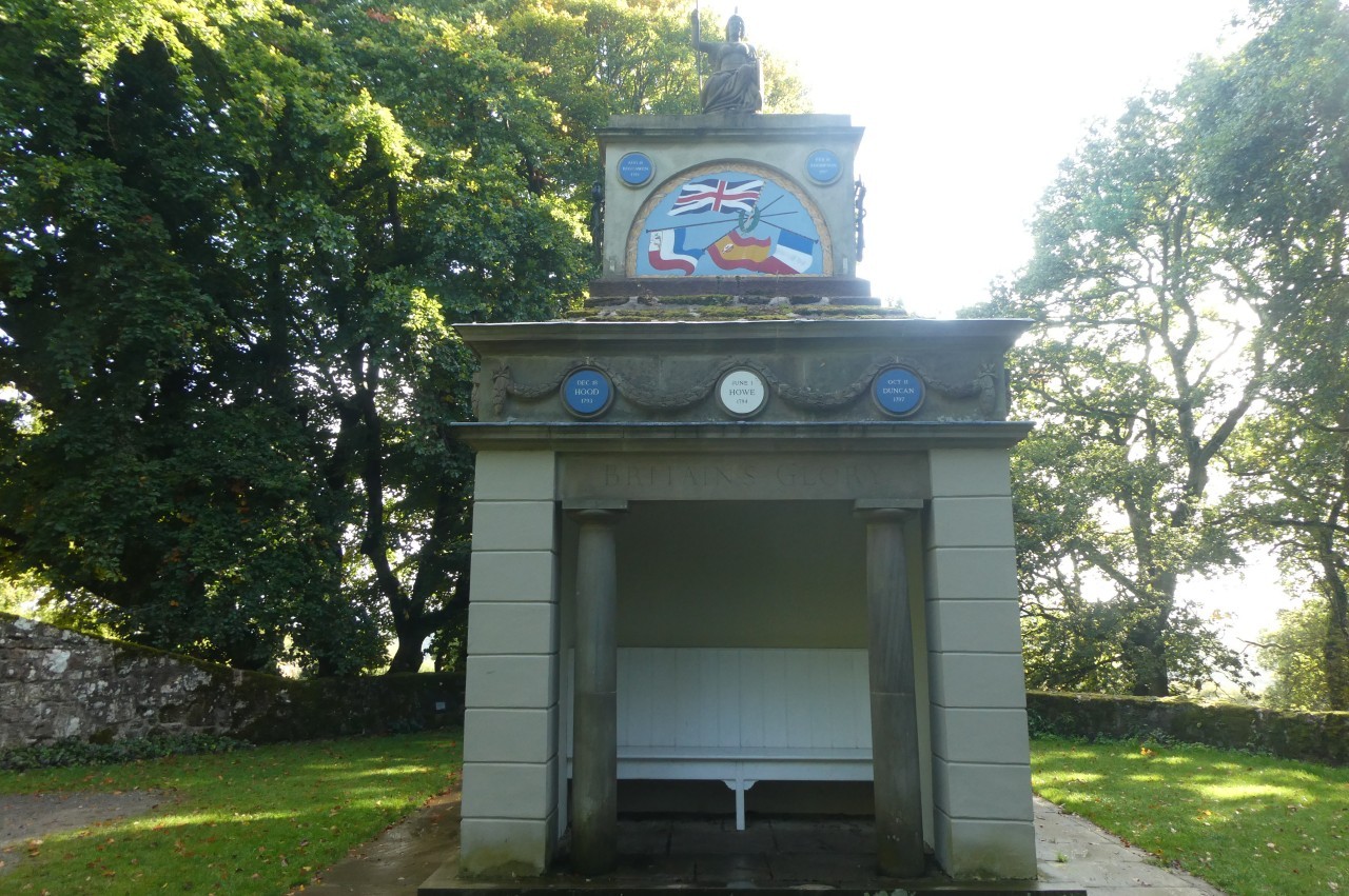
(26) Naval Temple, The Kymin
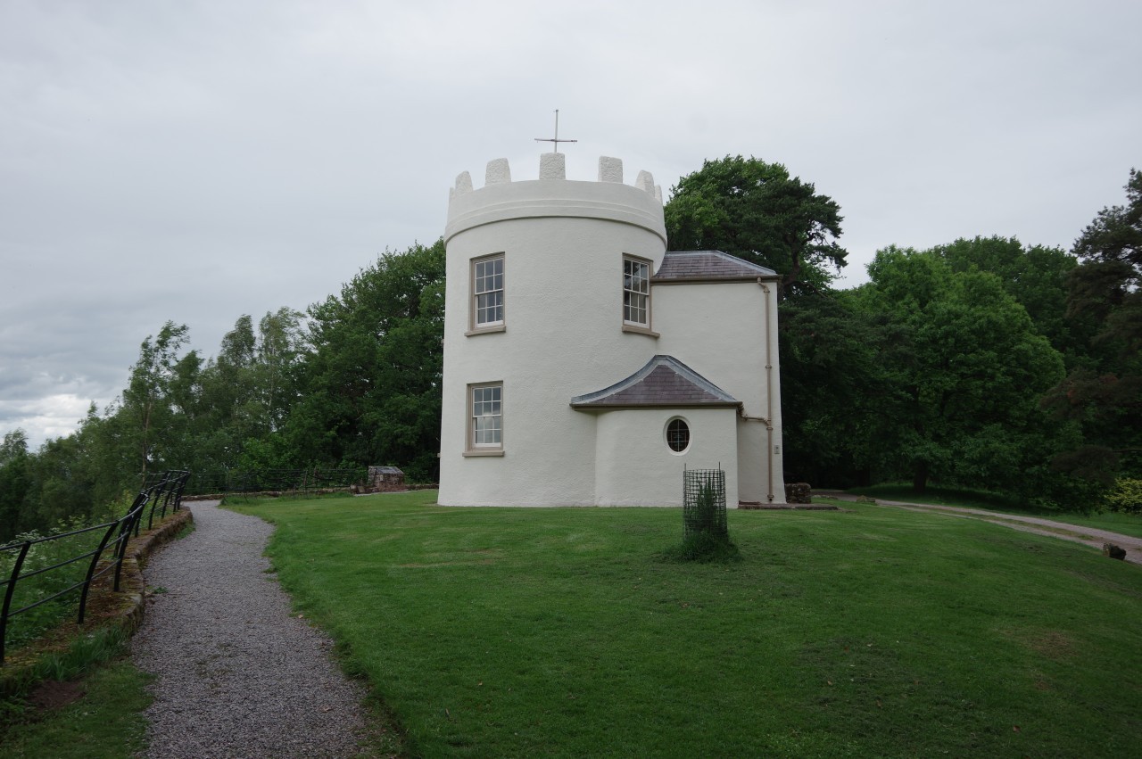
(27) Round House, The Kymin
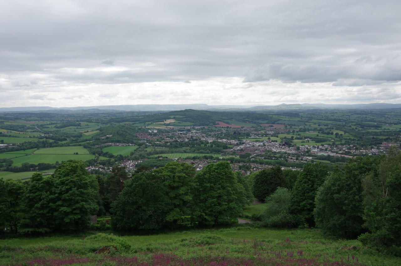
(28) View over Monmouth from The Kymin
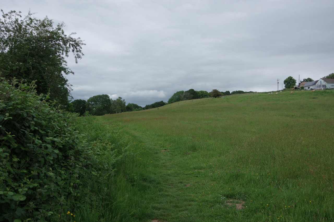
Eventually Duffield Lane ends at Cockshoot Ash Barn and a narrow path goes along the right side of the barn and through a gate onto Upper Beaulieu Farm (picture 25). The Path skirts the farm via the lower edge of a series of meadows and a fenced path along the edge of Harper's Grove, climbing steadily all the way. Over one more meadow an enclosed path leads to a National Trust carpark on the hilltop of The Kymin.
Across the carpark, a path heads into the woods and soon passes the Naval Temple (picture 26), built in 1800 to celebrate Britain's many 18th century naval victories. A little further up the path is a hilltop clearing occupied by the Round House (picture 27), built in 1794 as a banqueting-hall-with-a-view for the local gentry and their guests, who included Lord Nelson. From a height of 244 metres, the view takes in a long curve of the River Wye as it sweeps past the historic town of Monmouth and a broad swathe of farmland that stretches westward to the distant peaks of the Brecon Beacons (picture 28). A spectacular view even in gloomy weather.
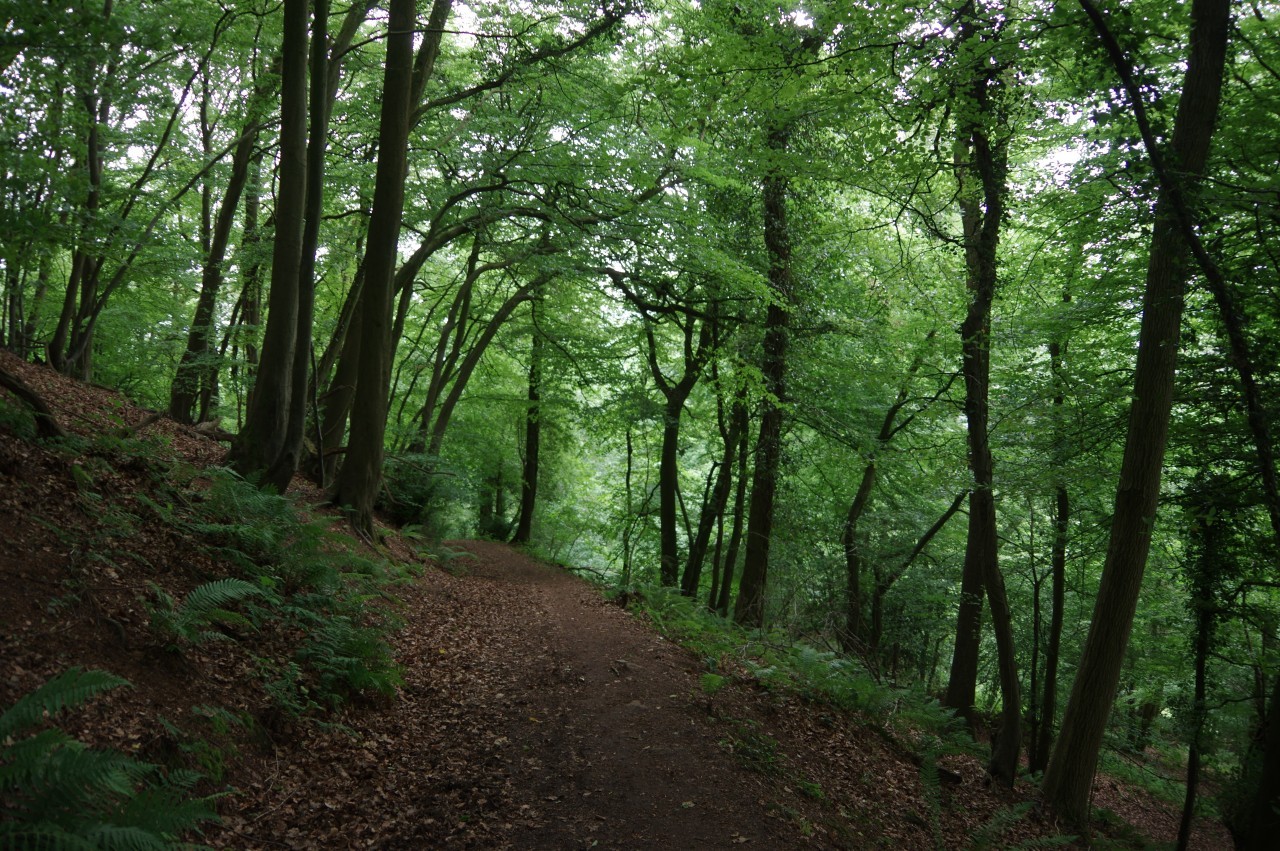
(29) Garth Wood
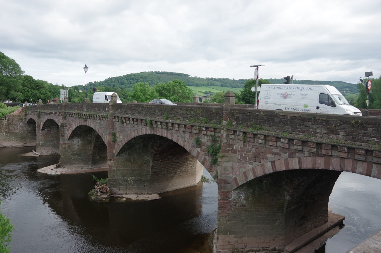
(30) Wye Bridge, Monmouth
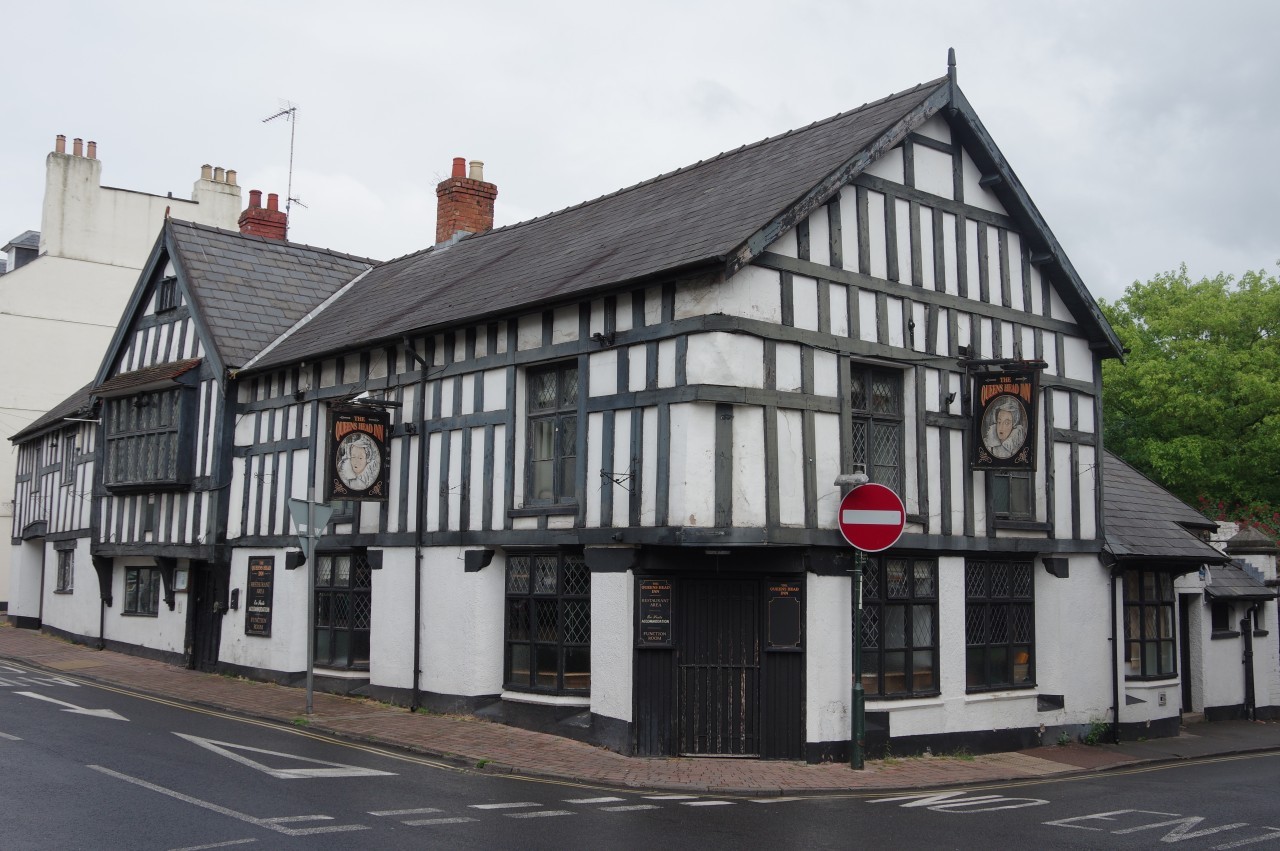
(31) Queens Head Inn
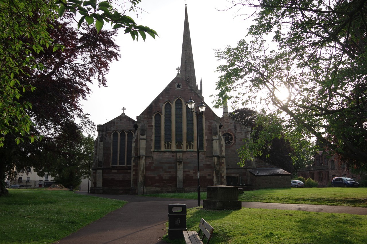
(32) St Mary's Priory Church, Monmouth
From the Round House, Offa's Dyke Path heads back into the woods and soon turns left to descend through the trees to Good Neighbours Lane. Fifty metres down the lane, a path between post-and-rail fences cuts across horse paddocks to the edge of Garth Wood. An obvious trail leads down through the wood (picture 29) to a gate by a bend in Kymin Road. Offa's Dyke Path continues more or less straight ahead down the steep road as far as a sharp right-hand bend where the ODP keeps ahead on a private road. At the next bend, a signposted path on the right descends through trees to the side of the A4136 Staunton Road, which is followed through May Hill, a light-industrial suburb of Monmouth, to reach the Wye Bridge (picture 30).
What is not obvious from the Ordnance Survey map is that the pavement on the south side of the bridge leads to a dead end, unless one intends to go down the steps for a dip in the river. Instead one must cross over the busy road at a pedestrian refuge about two hundred metres before the bridge. After some hasty backtracking to get onto the right side of the bridge, I crossed over and found the pedestrian underpass leading beneath the thunderous A40 to Wyebridge Street, which heads past the grand 19th-century stone facade of the Monmouth School for Boys to a junction by the 16th-century Queens Head Inn (picture 31). The inn's website claims that it is the third most haunted pub in Wales, but doesn't give any clues as to which pubs are ahead of it in that ranking.
A few paces to the left of the junction, along St James Street, the ODP turns right along St Mary's Street, where a townhouse bears a blue plaque reading "On this site Sept 5, 1782 nothing happened". Many other blue plaques dotted around Monmouth are a little more informative.
St Mary's Street is named after not one, but two, churches: St Mary's Catholic Church stands between houses halfway along the street, while at the far end is the much larger St Mary's Priory Church (picture 32), founded in 1101 but much modified and remodelled since then.
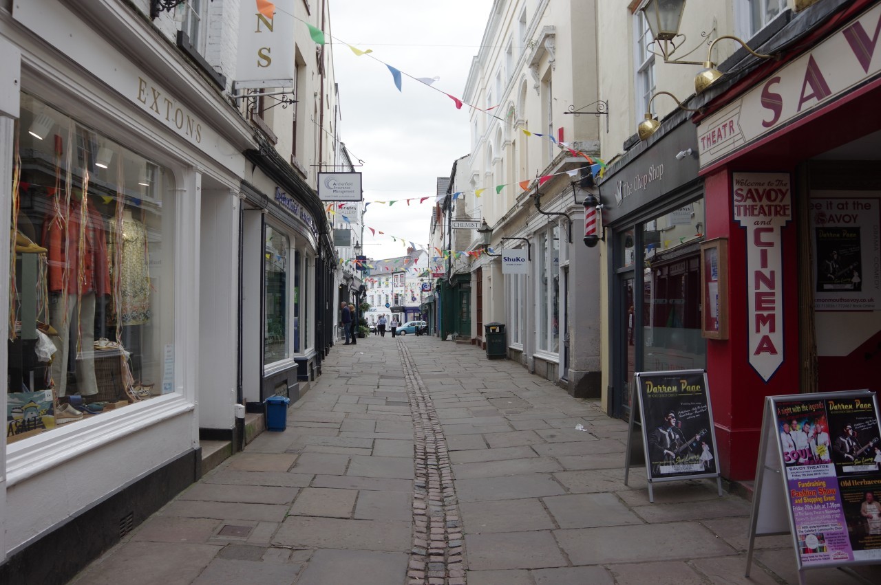
(33) Church Street, Monmouth
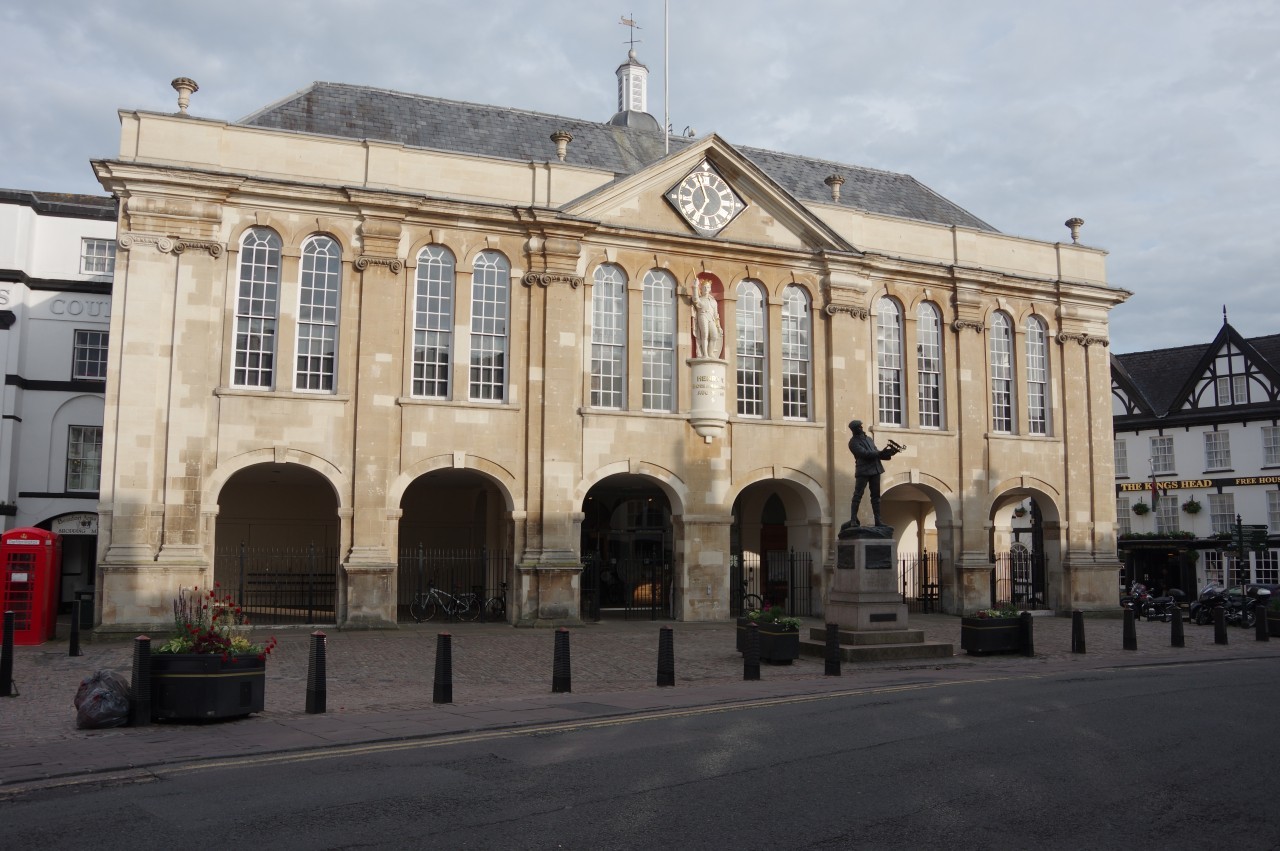
(34) Shire Hall, Agincourt Square

(35) Monnow Bridge
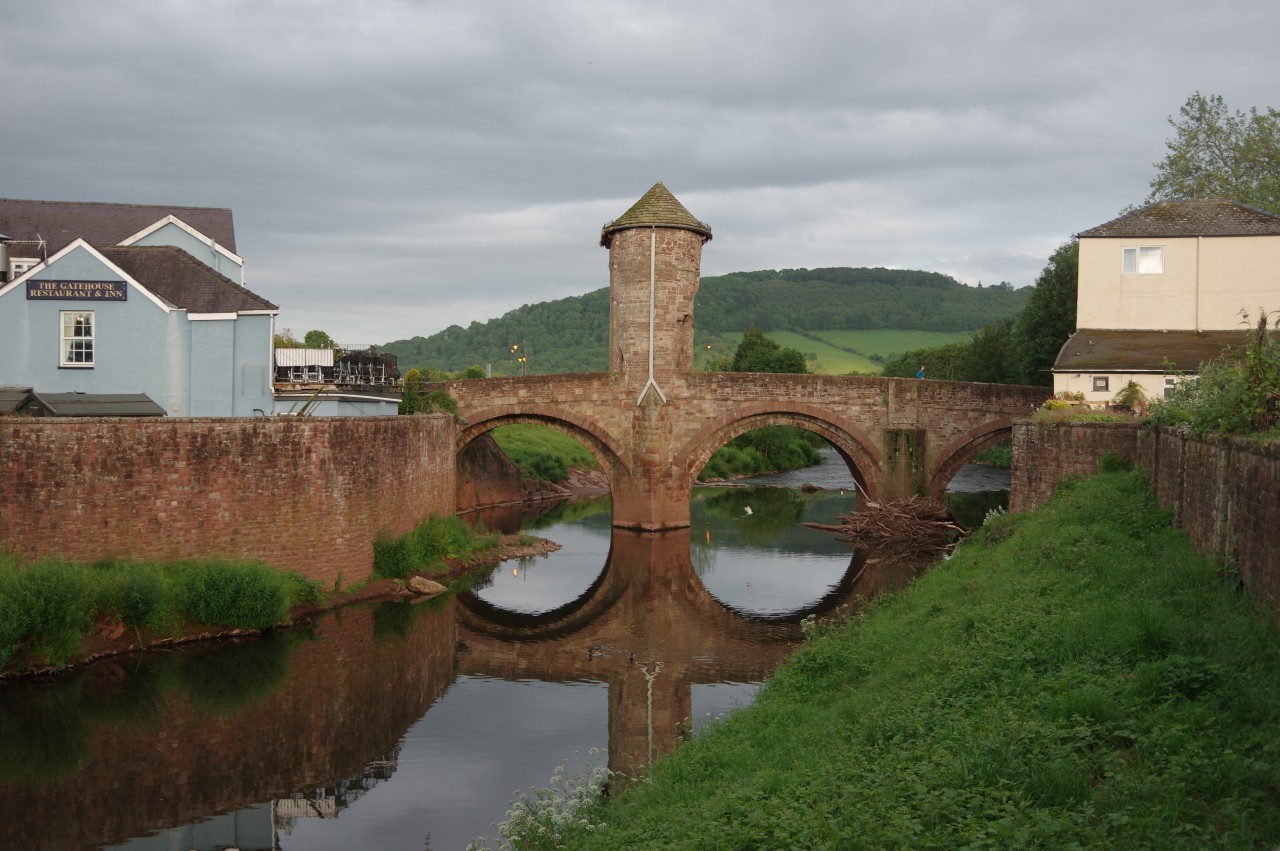
(36) Monnow Bridge
At the junction by the second church, Offa's Dyke Path turns left down the pedestrianised Church Street, passing many small shops and the delightfully old-fashioned Savoy Theatre and Cinema (picture 33). Emerging onto Monnow Street, Monmouth's long high street, I soon passed the grand Shire Hall of 1724 (picture 34) in Agincourt Square. The statue on the front wall of the hall is King Henry V, who was born in Monmouth and led the English when they defeated the French in the battle of Agincourt in 1415. The statue in front of the building is of Charles Rolls, of Rolls-Royce fame, who in 1910, at the age of just 32, became the first person in Britain to lose his life in an aeroplane crash.
Leaving the Shire Hall, I walked the final five hundred metres down Monnow Street to Monnow Bridge and the end of this 17.2 kilometre stage of Offa's Dyke Path. Built sometime around 1270, the bridge spans the River Monnow, a tributary of the Wye. It is the only surviving example of a medieval bridge with a gate tower in the middle (picture 35).
The Gate House pub stands right by the bridge and made a convenient dinner stop before I headed over the bridge and around the corner to the small Monnow Bridge Caravan Park. The park has a sheltered and grassy corner by the river for campers, with a good view of the bridge (picture 36).
While I was pitching my tent a little black cat was observing me from atop the floodwall and when I was done she decided to invite herself inside for the night and made her bed on top of my empty backpack. Perhaps cats have some sixth sense that helps them to identify cat people. Around dawn my new feline friend woke up and after sniffing around my gear and identifying that I didn't have any cat food, she wandered off and leapt over the fence, presumably going back home for breakfast.