Offa's Dyke Path National Trail
Walking the 285-kilometre Offa's Dyke Path National Trail is an excellent way to explore the scenic Welsh Marches, a loosely-defined, primarily rural region that straddles the modern-day border of England and Wales. Although often overlooked by tourists, the Marches have been the backdrop for many important historical events, including several waves of cross-border rebellion and conflict.
The Offa's Dyke Path begins atop the windswept Sedbury Cliffs, overlooking the mighty Severn Estuary from a wedge of Gloucestershire that separates the River Severn from the River Wye. The trail crosses back and forth over the national border dozens of times as it works its way northward from Gloucestershire into the counties of Monmouthshire, Herefordshire, Powys, Shropshire, Denbighshire and Flintshire to reach the Irish Sea in the bustling North Wales resort town of Prestatyn. Along the way, there are many outstanding views, sites of historical interest, friendly towns and villages and, of course, welcoming pubs.
The basis of the Offa's Dyke Path is the defensive earthwork built during the reign of the powerful Anglo-Saxon King Offa, who ruled the large English kingdom of Mercia from 757 to 796. The Dyke was intended to discourage raiders from the various Welsh kingdoms to Mercia's west by creating an imposing physical barrier to define the oft-disputed frontier once and for all, with a high bank on the English side and a deep ditch on the Welsh side.
Despite 1,200 years of erosion, farming and other human activity, around one hundred kilometres of the Dyke is still identifiable in the landscape today, though somewhat worn down from its original height, which may have been as much as eighteen metres in places. What remains are a few short sections in Gloucestershire and a longer stretch spanning much of the border between Powys and Shropshire. Almost all of the visible stretches of Offa's Dyke are closely followed by the trail, which often runs along the top of the bank or right beside it.
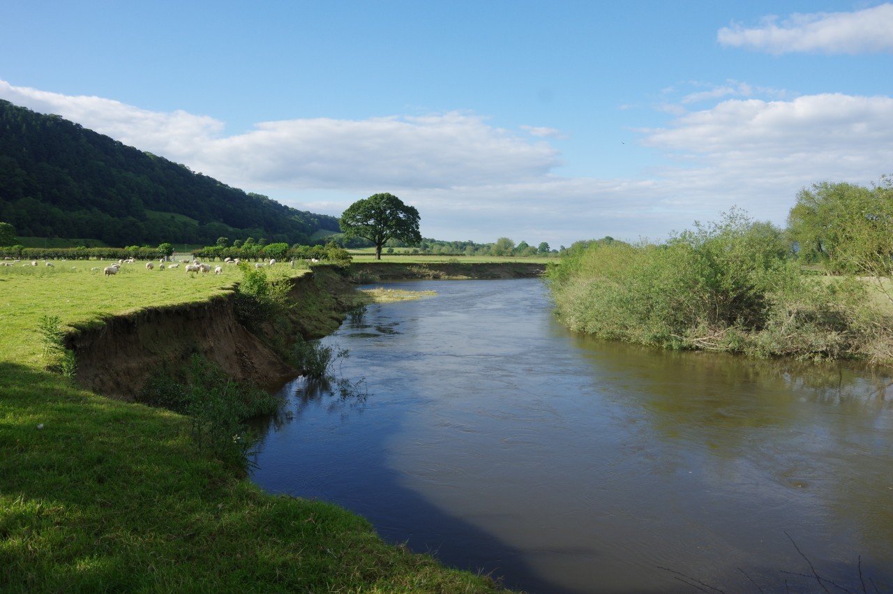
Where there are no extant sections of the Dyke, the trail often follows landscape features that would have provided natural barriers between the kingdoms, where earthworks may have been unnecessary to delineate the border. These include the lower River Wye, the Hatterrall Ridge on the eastern edge of the Brecon Beacons National Park, a stretch of the River Severn, the Eglwyseg Crags, and the long ridge of the Clywdian Mountains.
The Dyke isn't the only impressive feat of engineering encountered by the trail. More than a millennium before the Anglo-Saxons, a chain of large Iron-Age hillforts were built on the summits of the Clywdian Mountains, commanding extensive views eastward over the Dee Estuary into Cheshire and westward across North Wales to the high peaks of Snowdonia. Three centuries after King Offa's time, the Marcher Lords appointed by the newly arrived Norman invaders built a chain of stone castles to keep the rebellious Welsh in check. Later still, during the canal mania of the 18th century, the Montgomery and Llangollen Canals were constructed, the latter carried over the River Dee via the magnificent Pontcysyllte Aqueduct.
The Offa's Dyke Path is well-signposted and navigation is fairly straightforward. The main challenge is the terrain, particularly on the three most difficult stages. The traversals of the Hatterrall Ridge and the Clywdian Range are fairly long and very exposed to the elements, while the section from Knighton to Mellington Hall involves a lot of strenuous ups and downs due to a series of valleys running at right-angles to the trail.
With a little planning, most reasonably fit walkers could comfortably finish the entire Offa's Dyke Path in 12 to 14 days. Pushing through single-mindedly would be a bit of a shame though, as there are many interesting places in the Marches that would reward a moderate walk or a short bus ride away the trail. Within sight of the southern section of the path is the town of Chepstow, where a large Norman castle towers over the town and the River Wye, and the village of Tintern, with it's ruined abbey standing in a picturesque loop of the wooded Wye Valley. The middle section of the trail passes the historic towns of Montgomery, Bishop's Castle, Clun and Chirk, all of which had Marcher castles. Finally, the northern section of the trail passes within an hour's walk of the towns of Oswestry and Llangollen (and their preserved steam railways), while the towns of Ruthin, Denbigh and Rhuddlan are easily reachable by local buses. Again, all of these towns have ruined castles, and the castle at Rhuddlan is reputed to be where King Offa drew his final breath.
For the most part, the Offa's Dyke Path is well-served by public transport. The nearest railway station to the southern end of the path is at Chepstow, on the line between Hereford and Newport, and about an hour's walk from Sedbury Cliffs, while Prestatyn has a station on the path and on the North Wales Line. Other useful stations are at Abergavenny (a short bus ride from Pandy and on the same line as Chepstow), Knighton (on the Heart of Wales Line between Shrewsbury and Swansea), Welshpool (a few kilometres off the trail via the Severn Way path and on the mid-Wales line between Shrewsbury and Aberystwyth), and Chirk (a few kilometres off the trail and on the line between Shrewsbury, Wrexham and Chester).
I walked the Offa's Dyke Path twice in 2019, first northbound (which I will document here) and then southbound. There is some method in this madness, as it's necessary to walk the trail in both directions to circumnavigate both England and Wales while also circumnavigating Great Britain. Both times, I carried camping gear as there are campsites in the majority of the overnight stops along the trail.
I had originally planned to complete my northbound walk in the summer and my southbound walk on a separate visit to the UK in the autumn, but the fickle British weather presented me with a few challenges and my plans had to change.
Throughout June, a series of Atlantic storms swept across the UK, eating up more than half of my available walking days. The worst of the storms caused significant flooding in the Severn Valley and its tributaries, forcing me off the trail for ten days and leaving me with too few days to complete the northbound leg before the end of my summer trip. When I returned to the UK in September, I completed the northbound leg and immediately turned around to walk the southbound leg. It rained fairly constantly for the last four days of the southbound leg, prompting one Welsh farmer to ask if I could please take the weather back to Australia with me to douse the bushfires.
If only that was how things work.


