Isle of Wight Coast Path
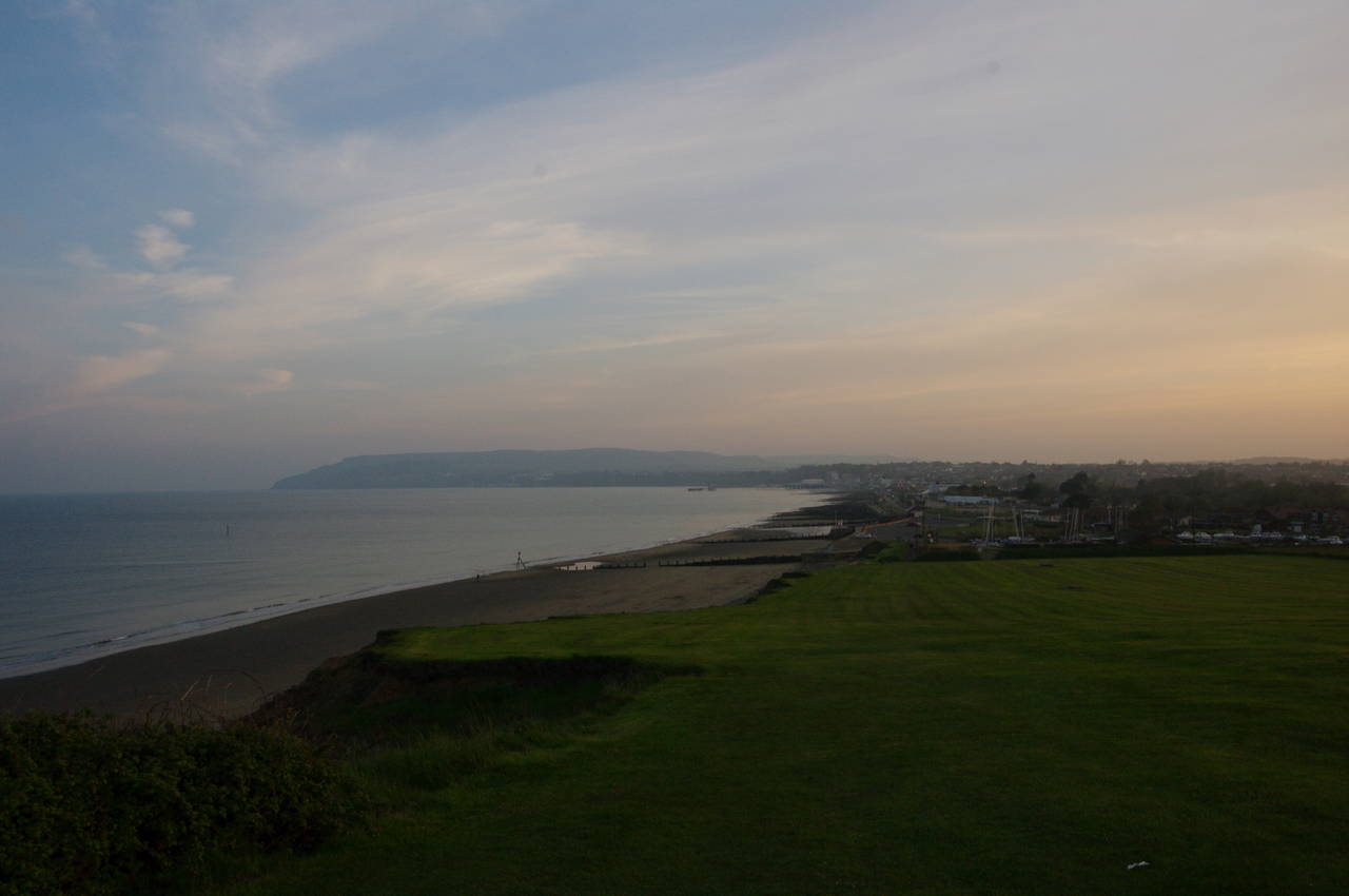
The Isle of Wight Coast Path circumnavigates the Isle of Wight and, being a circular path, the 115 kilometre walk can be started anywhere. I chose to start and end the walk in the town of Ryde, which is one of the four towns on the northern coast of the island where ferries arrive from the mainland.
About 80% of the path is within sight of the island's coastline, with only two significant diversions inland, to get around the estuary of Newtown River and the final stretch between Cowes and Ryde. The path is generally well-signposted, though the Ordnance Survey map OL29, which covers the entire island, is still useful. There are also at least three guidebooks for the path.
The Isle of Wight is by far the largest island off England's southern coast, and at 380 km2 is England's smallest county. The island is roughly diamond shaped, 37 km from east to west and 21 km from north to south at its widest points.
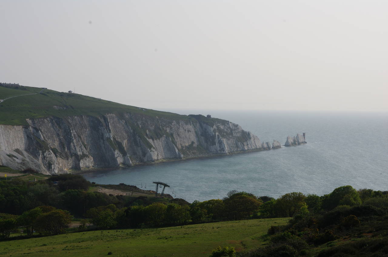
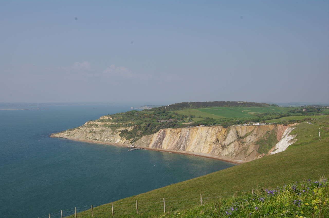
A ridge of chalk hills runs across the island from east to west, with impressive chalk cliffs at both ends of the island. Much of the rugged southern coast is also dominated by cliffs, but these are composed of clay rather than chalk and are subject to frequent landslips as the forces of erosion regularly reshape the coast (and the Coast Path).
While walking another trail in April 2013, I covered a few kilometres of the southwest coast for a second time, observing several places where as much as five metres of the clifftop ground I had walked on less than a year earlier had disappeared. In these places one could see the line of trampled grass from the previous summer's walkers leading over the cliff edge, demonstrating that the coastline here is changing quite rapidly and that care is needed when walking this section of the path.


