1066 Country Walk
The 1066 Country Walk traces the route taken by the William the Conqueror and his army through what is now the county of East Sussex when they made the last successful attempt to invade England in October 1066.
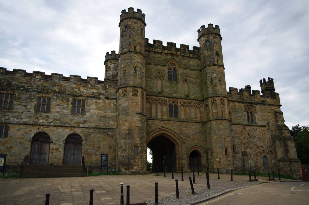
The main route begins at Pevensey, heading north then east to reach Senlac Hill, where William's forces faced and defeated those of the English King Harold in what is now the town of Battle. The incident became known as the Battle of Hastings, as Hastings was the nearest town at the time that the battle took place. From Battle, the route then continues roughly east to the former Cinque Port town of Rye.
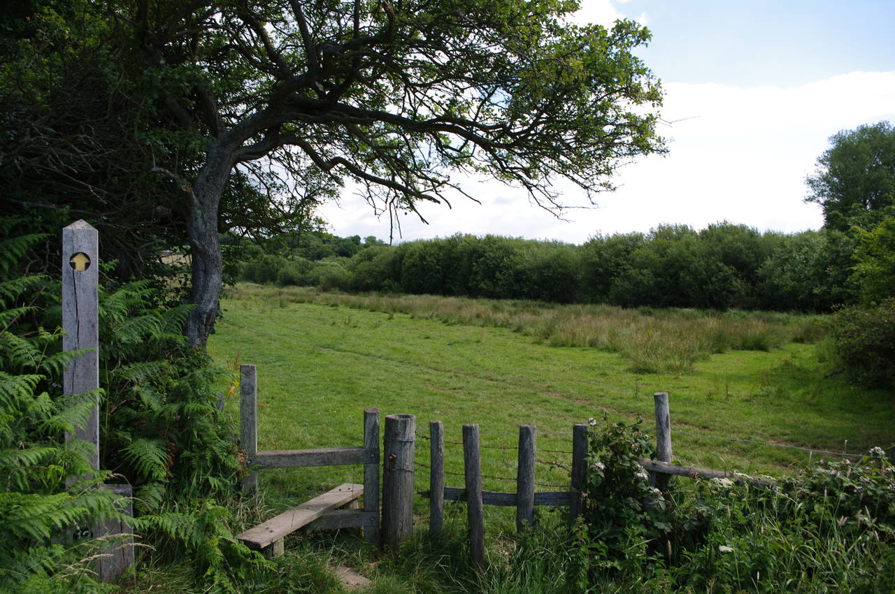
The 1066 Country Walk is around fifty kilometres long, but there are also three link walks connecting the path to the busy coastal towns of Bexhill-on-Sea and Hastings, where the walk connects with the end of the Saxon Shore Way, and to the quiet inland village of Jevington, where the walk connects with the South Downs Way National Trail. The three link walks bring the total distance to around 82 kilometres.
From what I've read, most people traverse the 1066 Country Walk from west to east, beginning in Pevensey and ending in Rye. However, as I had already walked the Saxon Shore Way and would be walking the South Downs Way next, I decided to trace the route from east to west instead.


