
Saxon Shore Way
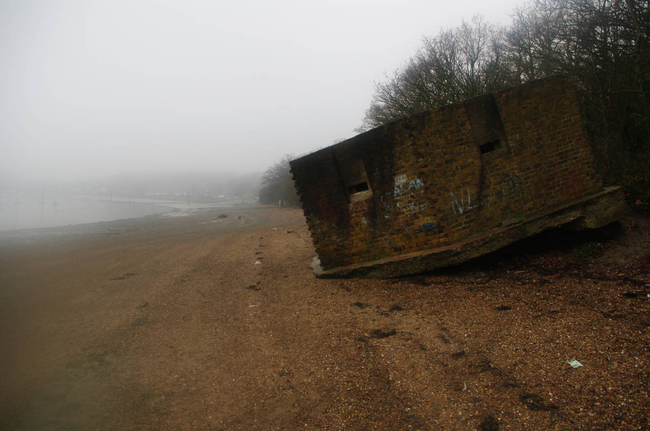
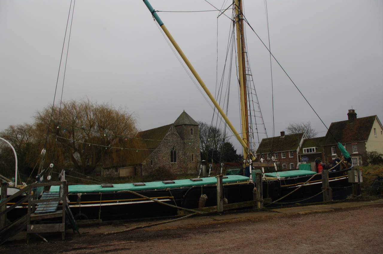
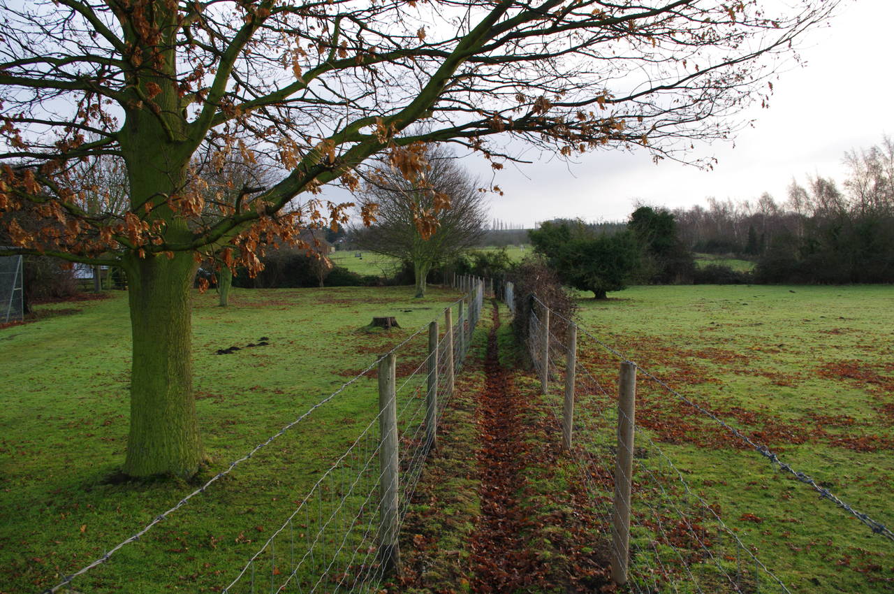
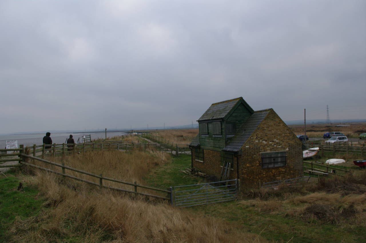
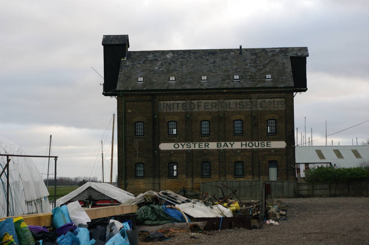
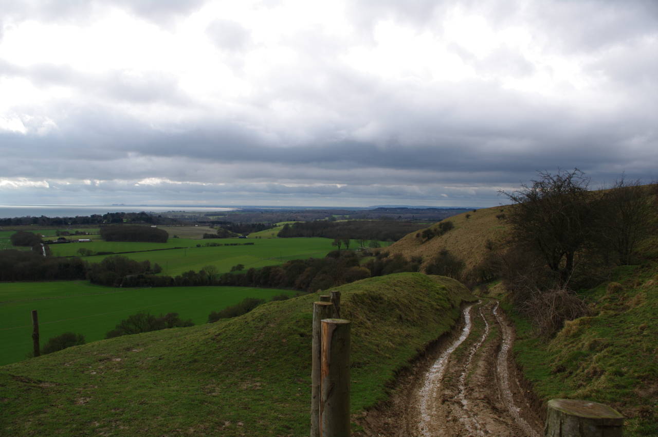
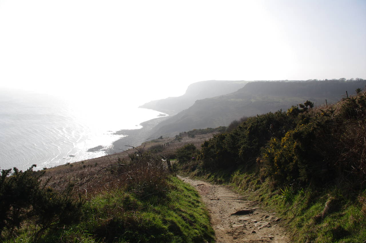
The Saxon Shore Way is a long-distance walking path following the south east coast of England for 257 kilometres from Gravesend in Kent to Hastings in East Sussex. The path follows the line of the coast as it existed in Saxon times, and one of the interesting things about the walk is discovering how the coastline has changed over the centuries. Some of the changes are due to natural events such as rivers silting up (causing several formerly important port towns to find themselves stranded several kilometres inland) and some of the changes are due to more modern events such as the new land reclaimed from the English Channel near Dover as a means of disposing of the massive amounts of earth excavated during construction of the Channel Tunnel. These changes mean that the trail frequently leads the walker out of sight of the coast, across farms and through villages.
While most of the Saxon Shore Way is fairly well waymarked, there are places where the fingerposts and waymarker discs are damaged, missing or, in a couple of cases, appear to have been deliberately interfered with. Therefore, it's wise to carry the relevant Ordnance Survey Explorer or Langranger maps and/or a reliable GPS receiver.
Just before this walk, I started using a Garmin Dakota 20 GPS, which I have loaded with the OpenStreetMap data for the UK. To my surprise, I found that several of the off-road sections of the Saxon Shore Way were included in the OSM data, though so far I haven't found a full set of GPS waypoints for the trail online.
I completed the walk over several visits to England, hence the stages are a little out of order, and one stage is shared with the North Downs Way National Trail, which I completed in the summer of 2010.
Day 1
Gravesend to High Halstow
29 Dec 2010
17km
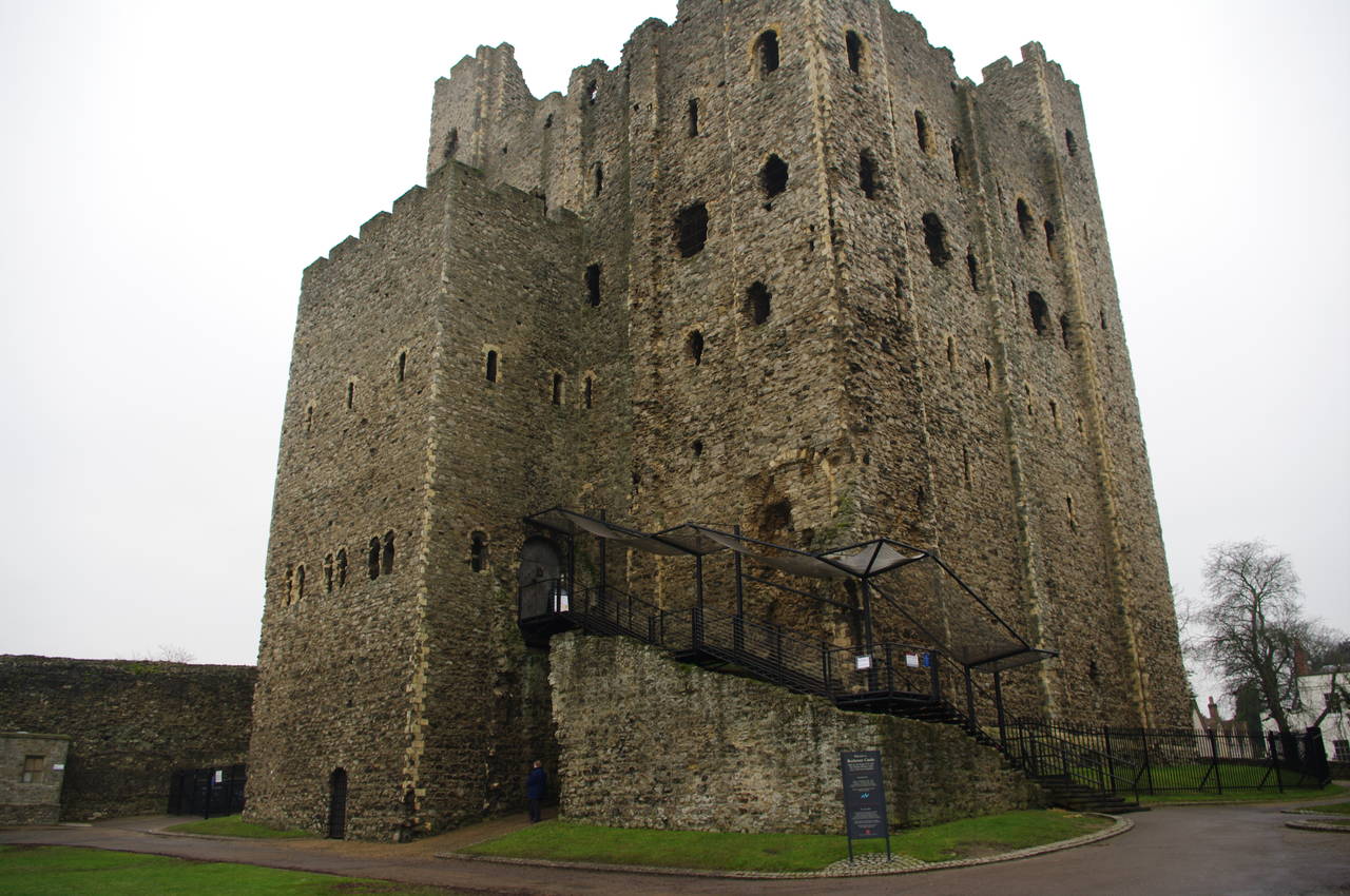
Day 2
High Halstow to Rochester Castle
30 Dec 2010
15.1km
Day 3
Rochester Castle to Gillingham Station
31 Dec 2010
5.3km
Day 4
Gillingham Station to Lower Halstow
01 Jan 2011
17.5km
Day 5
Lower Halstow to Sittingbourne
02 Jan 2011
21.3km
Day 6
Sittingbourne to Faversham
29 Jan 2011
26km
Day 7
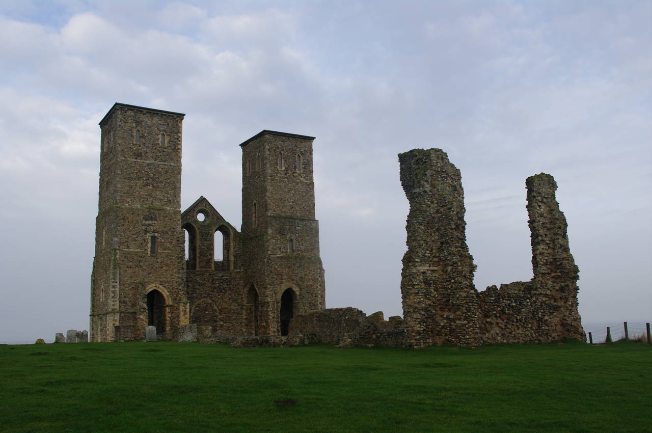
Faversham to Herne Bay
30 Jan 2011
23.5km
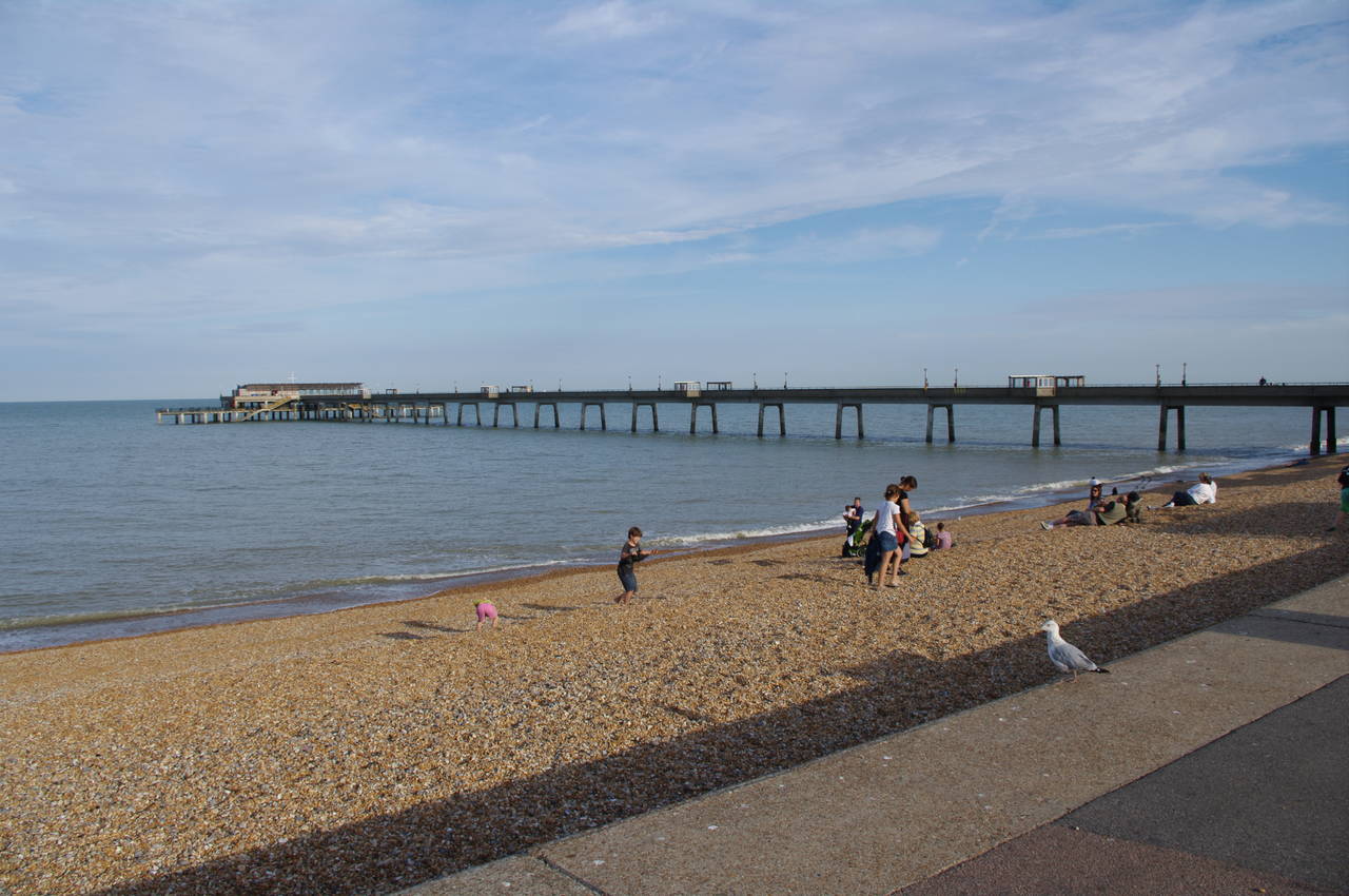
Day 8
Herne Bay to Sandwich
12 Feb 2011
31.3km
Day 9
Sandwich to Deal
19 Aug 2010
10km
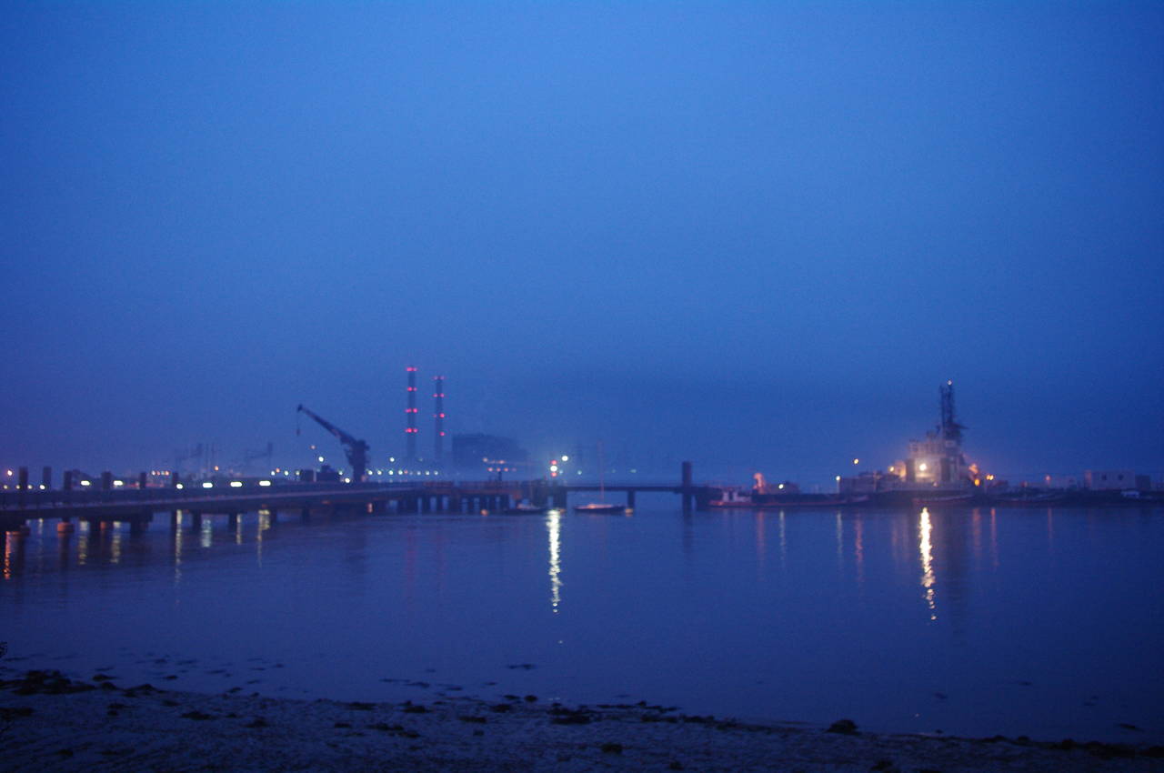
Day 10
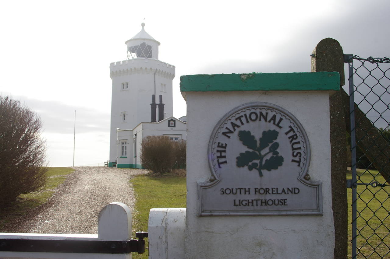
Deal to Dover
27 Feb 2010
15km
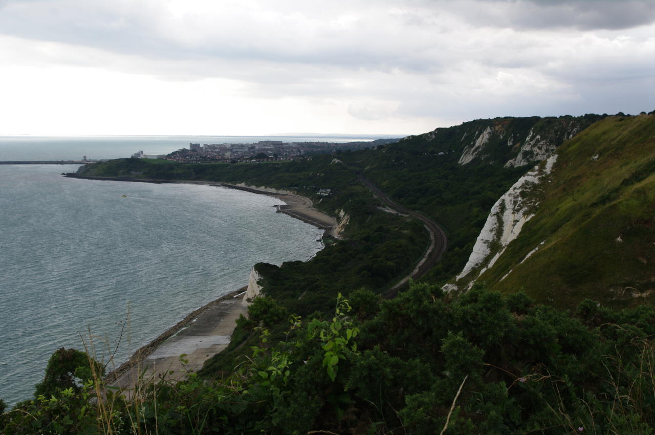
Day 11
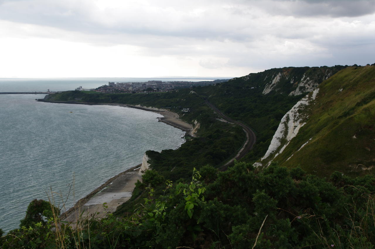
Dover to Etchinghill
11 Aug 2010
21km
Day 12
Etchinghill to Hamstreet Stationng
28 Feb 2011
24.5km
Day 13
Hamstreet Station to Rye
02 Mar 2011
22km
Day 14
Rye to Hastings
03 Mar 2011
19.6km